The best hikes from bus stations in Blenio
4.6
(795)
5,235
hikers
157
hikes
Bus station hiking trails in Blenio traverse a diverse landscape, ranging from alpine peaks and high mountain passes to rolling hills and lush river valleys. The region features extensive chestnut forests, vibrant meadows, and picturesque mountain lakes like Laghetto dei Cadabi and Lago di Luzzone. Hikers can explore trails along the Brenno river and discover areas with traditional dry stone walls and terraced fields. This topography offers a variety of experiences for different skill levels.
Best bus station hiking trails…
Last updated: July 11, 2026
4.9
(29)
154
hikers
14.0km
05:02
620m
620m
Hard hike. Very good fitness required. Mostly accessible paths. Sure-footedness required.
4.7
(17)
136
hikers
16.1km
06:45
820m
820m
Hard hike. Very good fitness required. Sure-footedness, sturdy shoes and alpine experience required.

Sign up for free
5.0
(18)
142
hikers
13.2km
05:37
730m
730m
Hard hike. Very good fitness required. Mostly accessible paths. Sure-footedness required.
4.8
(12)
51
hikers
13.7km
04:22
440m
440m
Moderate hike. Good fitness required. Mostly accessible paths. Sure-footedness required.
4.7
(15)
72
hikers
5.99km
02:13
380m
390m
Moderate hike. Good fitness required. Easily-accessible paths. Suitable for all skill levels.
Get access to more routes and recommendations from other explorers.
Sign up for free
Already have an account?
Our route recommendations are based on thousands of hikes, rides, and runs completed by other people on komoot.
Start today with a free account
Your next adventure awaits.
Login or Signup
Popular around Blenio
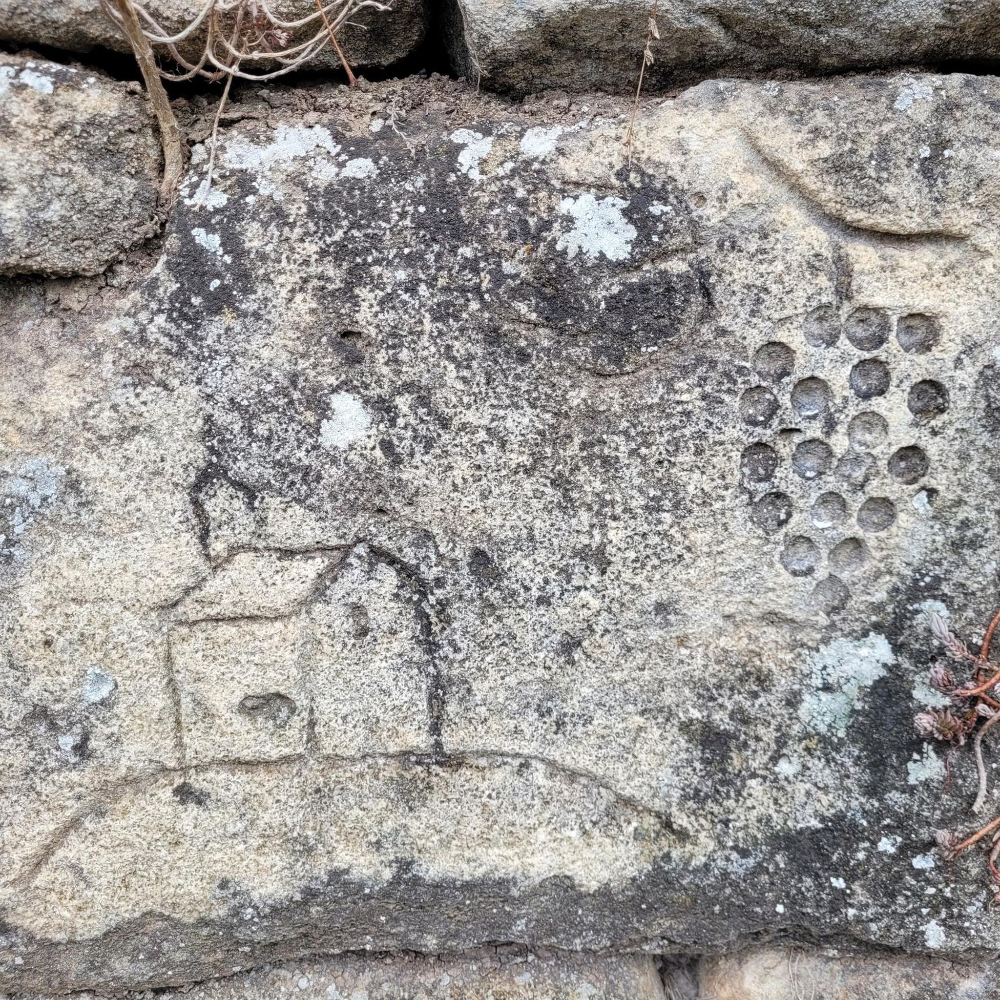
Hikes from bus stations around Acquarossa
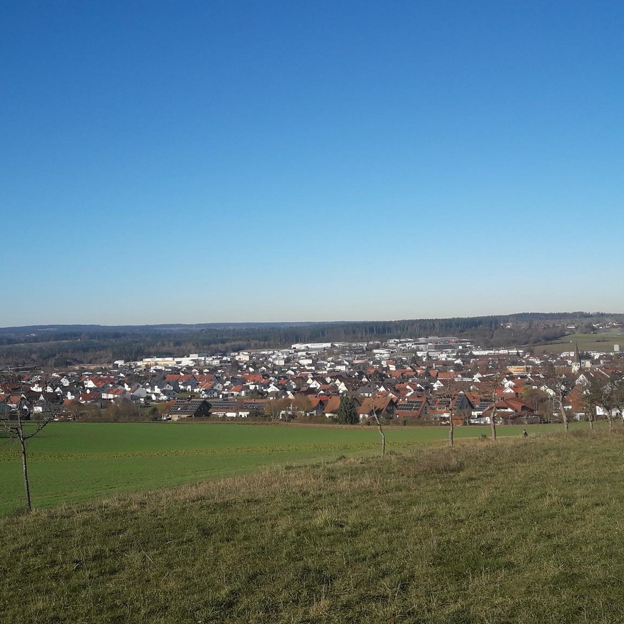
Hikes from bus stations around Lake Luzzone

Alpine Passes Trail – hiking 700km across Switzerland

Alpine Passes Trail in Switzerland – 34 stages of pure mountain fun
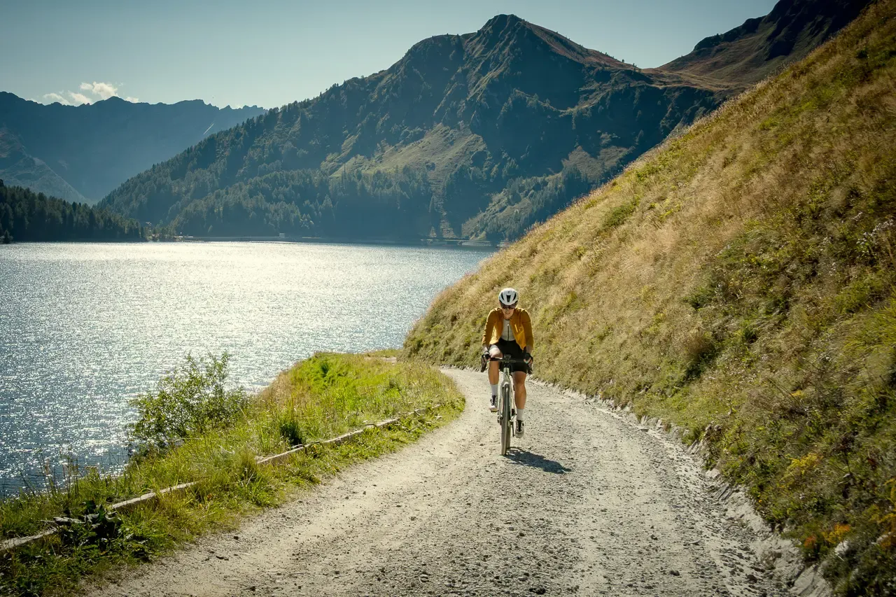
Ticino hut-to-hut: a 3-day alpine gravel escape
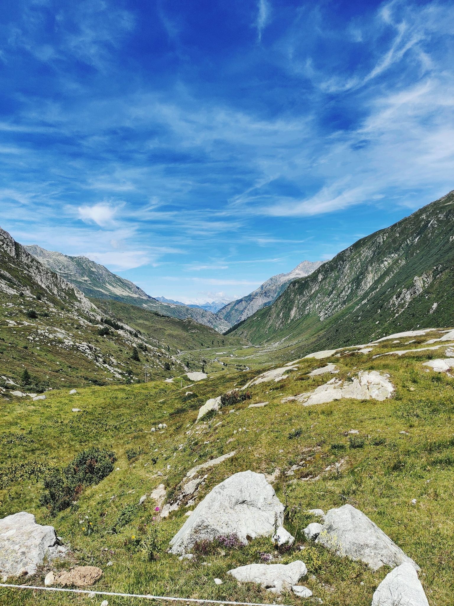
A legendary crossing of the Alps – Gottardo Bike Route
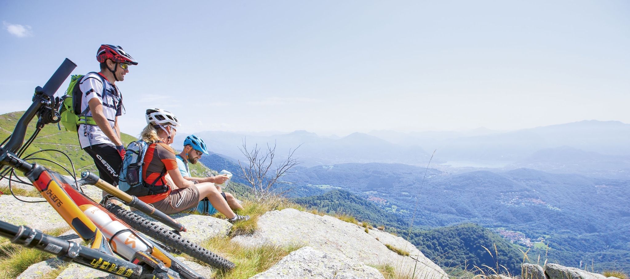
Ride together – the komoot MTB relay through Ticino in Switzerland
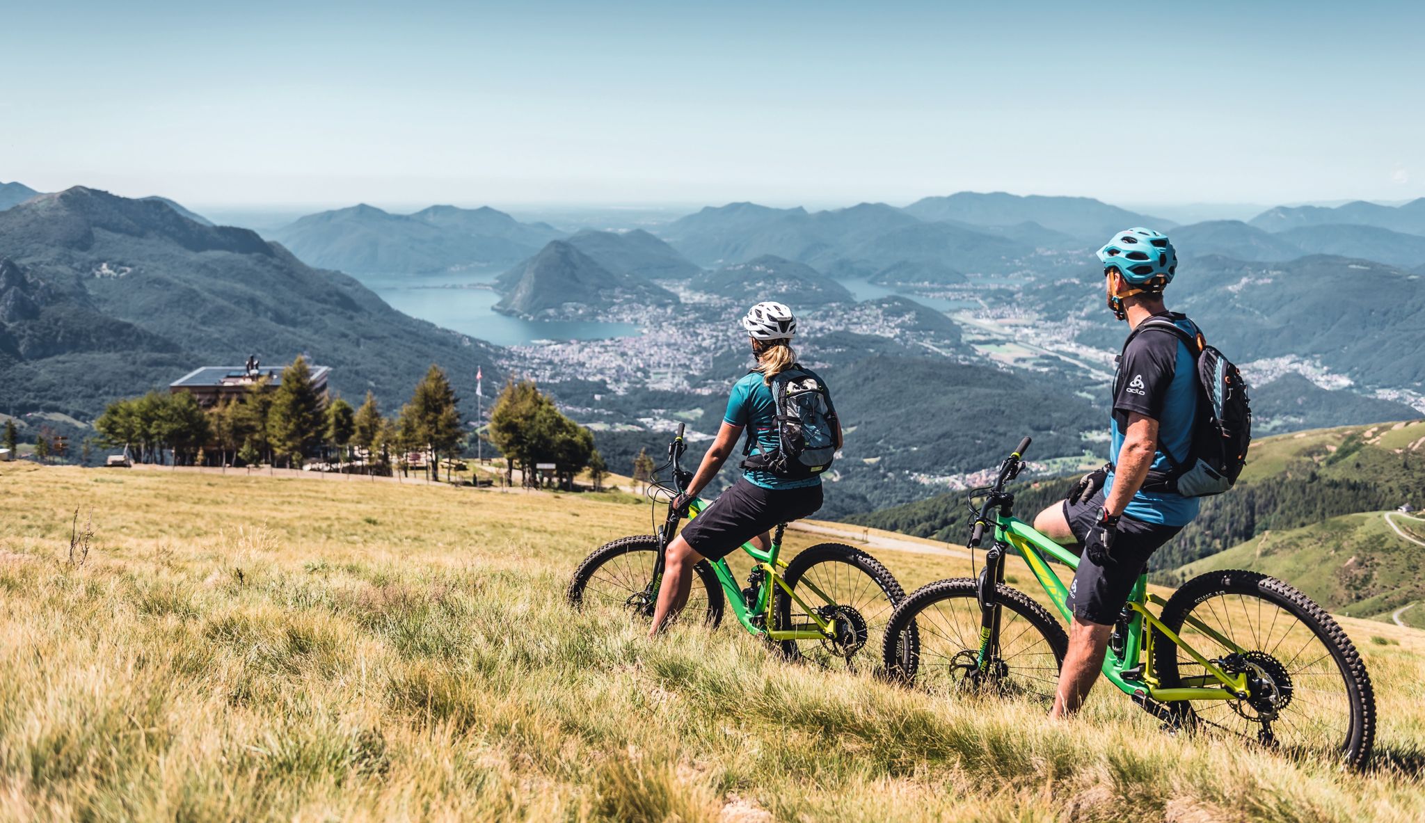
Wine, mountains & lakes – six top MTB Tours in Ticino in Switzerland
Other adventures in Blenio


Tips from the Community

Very important castle, now only ruins are visible, but the landscape is stunning anyway. All MTB tours here www.komoot.com/it-it/collection/3576744/-blenio-bike-28-tour-mtb-in-valle-di-blenio-la-valle-del-sole or on the official website of the association www.bleniobike.ch
0
0

Small but worthwhile castle complex, also nice for a short break
0
0

A cozy mountain hut with very friendly staff. From the dining tables, you have a view of the large reservoir and the surrounding mountains. Overnight stays are available in small dormitories.
0
1

Scenic pass that is opened all year round (closes at 6pm in winter). There is hardly any traffic which makes cycling very nice and plenty of opportunities to take pictures. We crossed the pass in early May when there was still plenty of snow up there. The change in scenery where it was all green at Disentis and slowly turning white as we climbed higher... and very quickly turned to green as we rolled down on the south side to Biasca was breathtaking.
0
1

Descent to Lucomagno done on Gravel (45mm tires, only got off the bike a couple of times)
0
0

The Lucomagno is one of the most famous Alpine passes in Switzerland. It is located between the cantons of Ticino and Grisons, at an altitude of 1,926 meters. The name seems to derive from the Latin "locus magnus", meaning "large, open place". It is often tackled in the professional race of the Tour of Switzerland.
3
0

Those who are not afraid can swim in the lake
0
0
In the area of Lake Ritom there are numerous hiking opportunities for young and old. The Swiss Topo map provides relevant information
1
0
Frequently Asked Questions
How many bus-accessible hiking trails are there in Blenio?
Blenio offers a wide selection of bus-accessible hiking trails, with over 160 routes available. These trails cater to various skill levels, ensuring there's an option for everyone.
Are there easy bus-accessible hiking trails in Blenio?
Yes, Blenio has a good number of easy bus-accessible hiking trails. You can find around 16 routes that are suitable for beginners or those looking for a more relaxed walk. These often lead through chestnut forests and picturesque villages.
What kind of terrain can I expect on bus-accessible hikes in Blenio?
The Blenio Valley offers incredibly diverse terrain, even on bus-accessible routes. You can expect trails that wind through lush meadows, extensive chestnut forests, and along the Brenno river. Higher altitude routes, such as those near the Lukmanier Pass summit, will feature more rugged alpine landscapes and stunning mountain views.
Are there circular bus station hikes in Blenio Valley?
Yes, many bus-accessible routes in Blenio are designed as circular tours, allowing you to start and end at the same bus stop. An example is the From the Lucomagno Pass along the Brenno – circular tour, which offers a moderate challenge and scenic views.
What natural features can I see on bus-accessible trails in Blenio?
Blenio's bus-accessible trails often lead to spectacular natural features. You might encounter the impressive Lago di Luzzone and Luzzone Dam, the mineral-rich Acquarossa Thermal Springs, or the source of the Brenno River. Many routes also offer views of high mountain passes like Passo del Sole.
Are there historical or cultural sights along bus-accessible hiking routes in Blenio?
Absolutely. Blenio is rich in history and culture. Many trails pass through traditional villages, past Romanesque churches, and even near the ruins of Serravalle Castle. The Historic Trail of Blenio Valley, for instance, showcases the region's past through churches, chapels, and rustic buildings.
What is the best time of year for bus-accessible hikes in Blenio?
The Blenio Valley is ideal for hiking from spring through autumn. Spring brings vibrant wildflowers, while summer offers warm weather for higher alpine routes. Autumn is particularly beautiful with the changing colors of the chestnut forests. Some lower-altitude paths might also be accessible for winter hiking, depending on snow conditions.
Are there family-friendly bus-accessible hikes in Blenio?
Yes, Blenio offers several family-friendly bus-accessible hikes. These routes are typically shorter, have less elevation gain, and often pass through charming villages or along gentle river paths, providing an enjoyable experience for all ages.
Are bus-accessible trails in Blenio suitable for dogs?
Most hiking trails in Blenio are dog-friendly, including those accessible by bus. It's always a good idea to keep your dog on a leash, especially in areas with livestock or wildlife. Remember to bring enough water for your dog, particularly on longer routes.
What do other hikers enjoy the most about hiking in Blenio?
The Blenio Valley is highly rated by the komoot community, with an average score of 4.6 stars. Reviewers often praise the diverse landscapes, from alpine peaks to Mediterranean-like chestnut forests, and the rich cultural heritage found along the trails. The well-marked paths and the blend of natural beauty with traditional human elements are frequently highlighted.
Can I find challenging bus-accessible hikes in Blenio?
Yes, for experienced hikers, Blenio offers challenging bus-accessible routes that lead into higher alpine terrain. Trails like the Pizzo dell'Uomo Circuit or the Passo del Sole and Colombe Pass Loop provide significant elevation gain and breathtaking views, often requiring a full day to complete.
Most popular routes in Blenio
Most popular attractions in Blenio

Get inspired with the komoot mobile app


Didn’t find what you were looking for?
Check out more Hikes throughout Blenio below and find the perfect route in your destination.
Explore more
Browse the best Hikes in other regions.
