The best hikes from bus stations in Werra-Meißner-Kreis
4.6
(21485)
67,414
hikers
1,419
hikes
Bus station hiking trails in Werra-Meißner-Kreis traverse a varied landscape shaped by the Werra River valley, the prominent Hoher Meißner mountain (754 meters), and the Geo-Naturpark Frau-Holle-Land. The region features diverse geology, including Buntsandstein, Basalt, and Muschelkalk formations, contributing to its unique scenery. Hikers encounter dense woodlands, open fields, and riverine paths, with some routes following sections of the historic Green Belt. The terrain offers a mix of gentle gradients and more challenging ascents, providing varied experiences for outdoor enthusiasts.
…Last updated: October 1, 2026
4.9
(340)
1,009
hikers
Moderate hike. Good fitness required. Easily-accessible paths. Suitable for all skill levels.
4.8
(292)
804
hikers
Moderate hike. Good fitness required. Easily-accessible paths. Suitable for all skill levels.

4.8
(349)
980
hikers
9.45km
02:43
230m
230m
Moderate hike. Good fitness required. Easily-accessible paths. Suitable for all skill levels.
4.8
(185)
583
hikers
Moderate hike. Good fitness required. Easily-accessible paths. Suitable for all skill levels.
4.9
(271)
840
hikers
12.7km
03:37
300m
300m
Moderate hike. Good fitness required. Easily-accessible paths. Suitable for all skill levels.
Get access to more routes and recommendations from other explorers.
Already have an account?
Our route recommendations are based on thousands of hikes, rides, and runs completed by other people on komoot.
Start today with a free account
Your next adventure awaits.
Popular around Werra-Meißner-Kreis

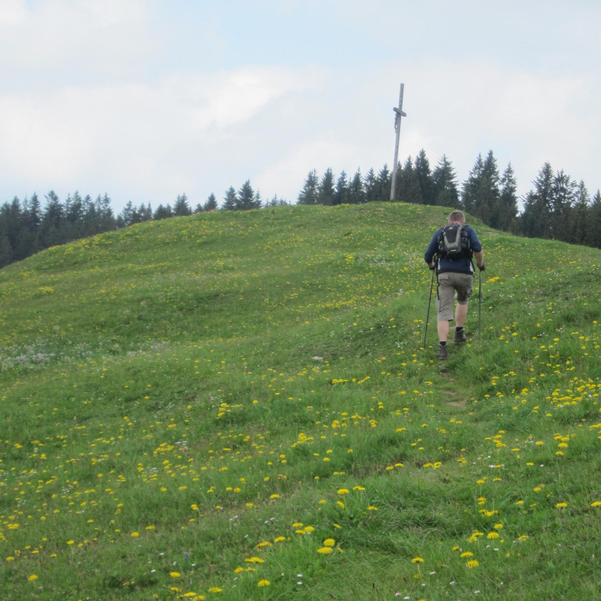
Hikes from bus stations around Witzenhausen
Hikes from bus stations around Gutsbezirk Kaufunger Wald
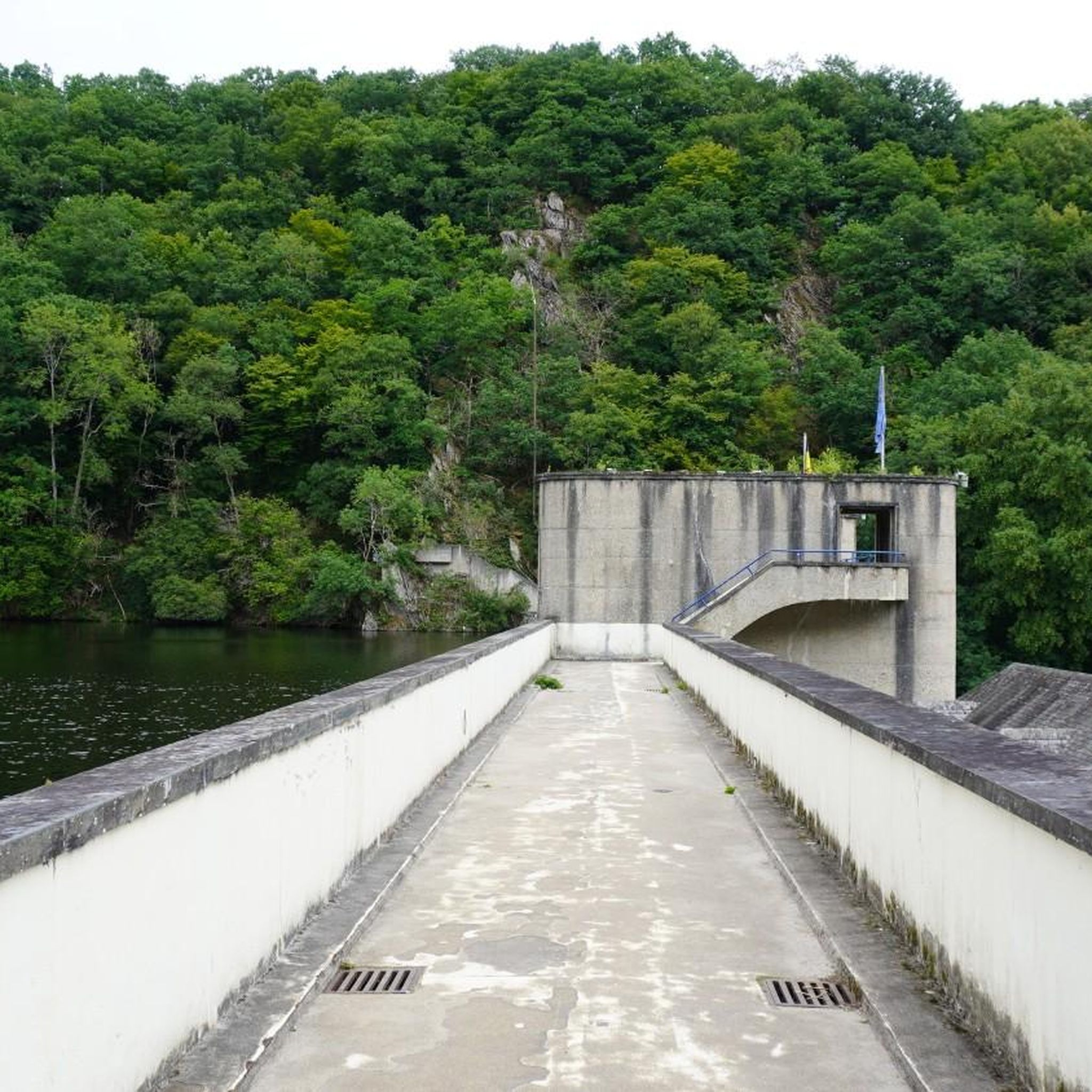
Hikes from bus stations around Eschwege
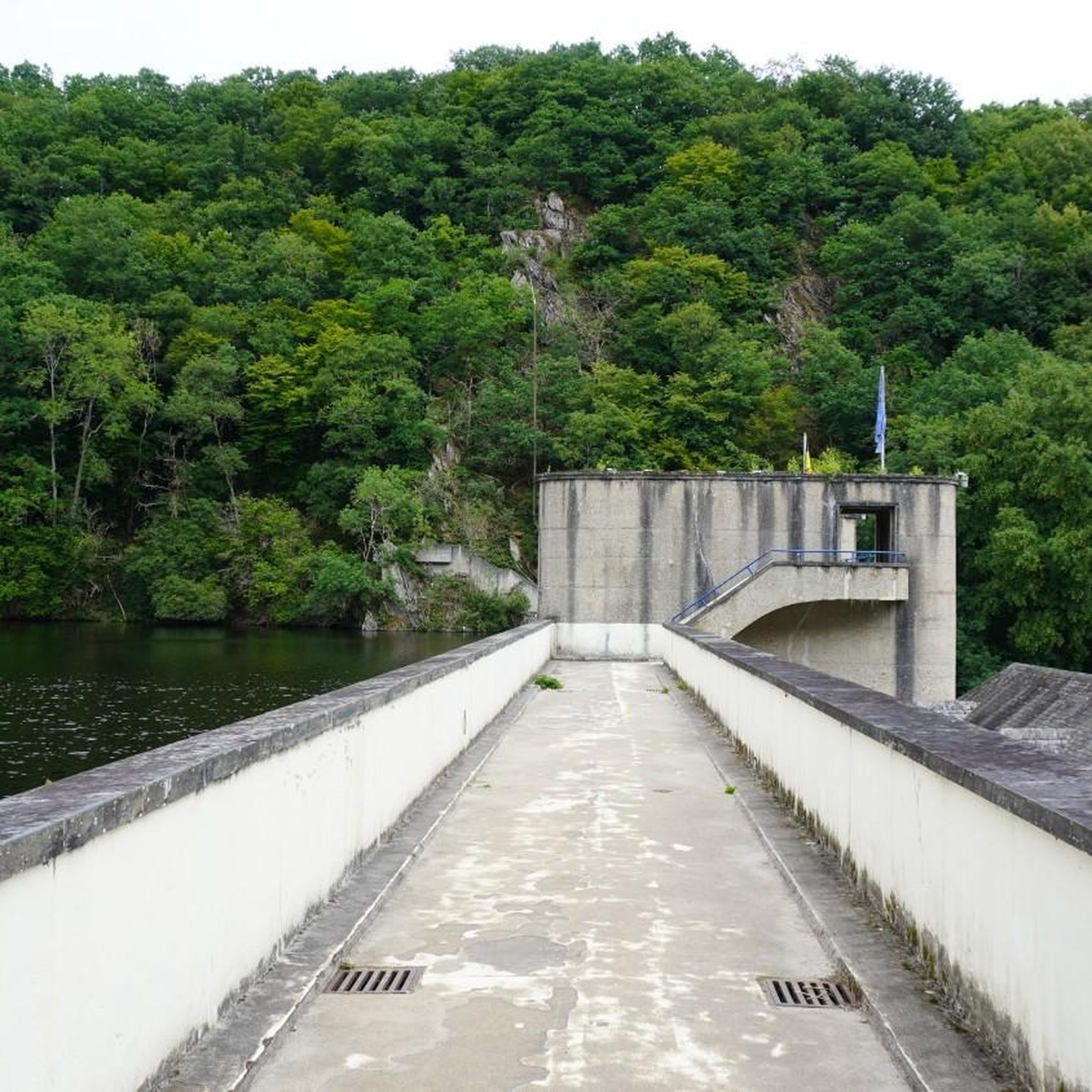
Hikes from bus stations around Werratalsee
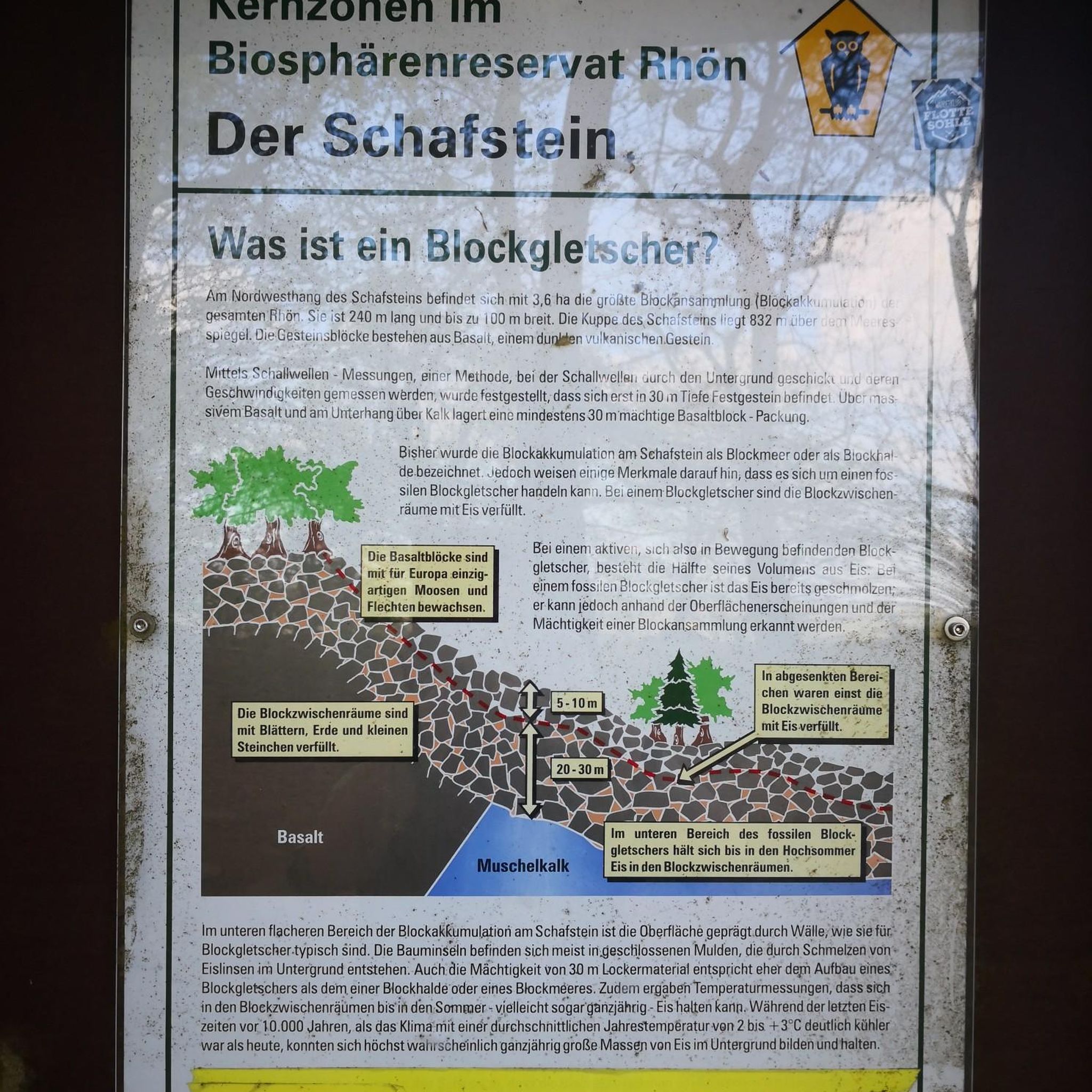
Hikes from bus stations in Meißner
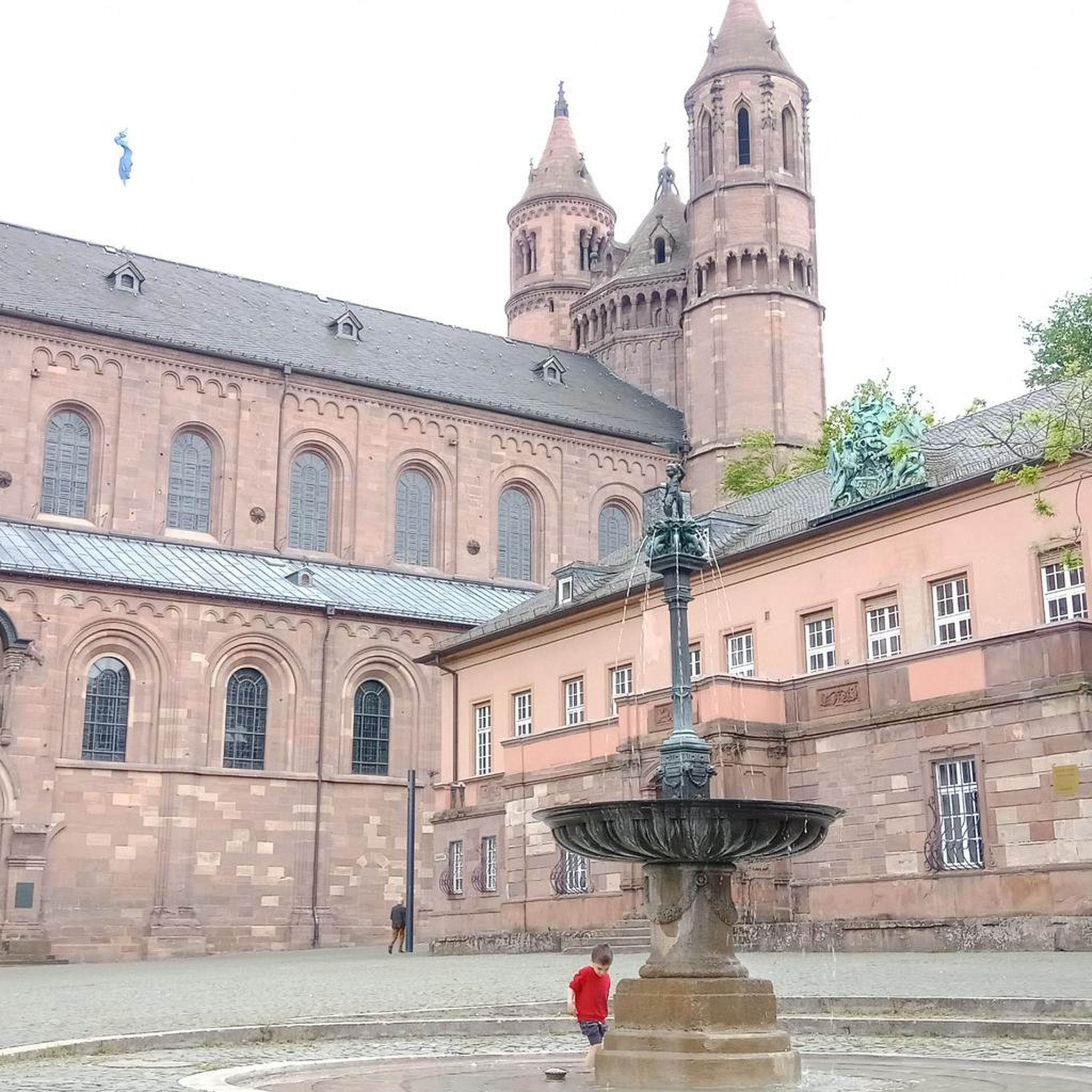
Hikes from bus stations in Plesse-Konstein
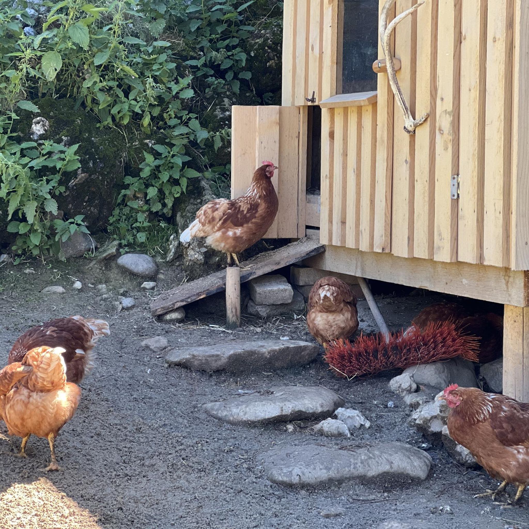
Hikes from bus stations around Schlierbachswald
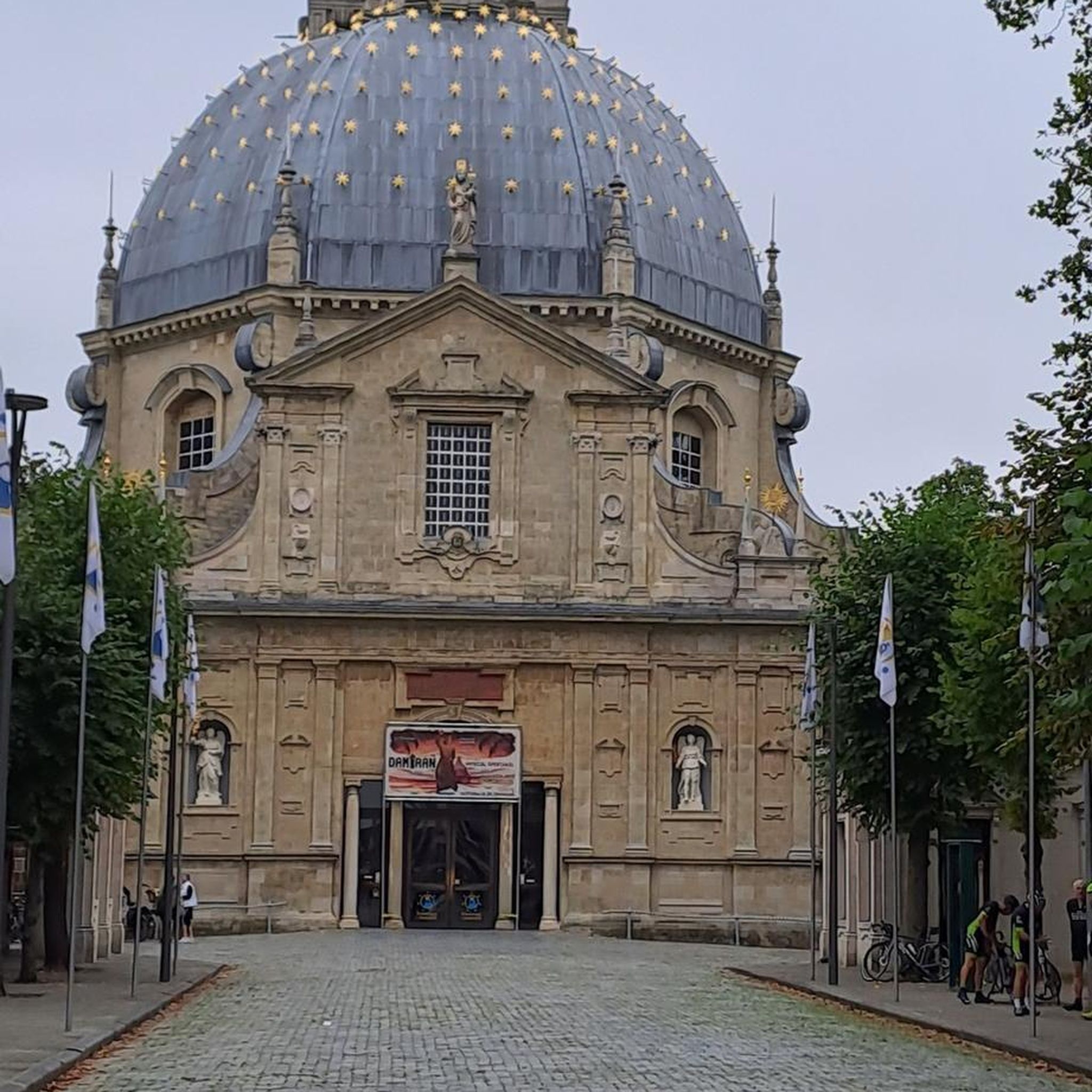
Hikes from bus stations around Leuchtberg

Hikes from bus stations in Dreiherrenstein-Eschenberg-Kreutzerberg

Hikes from bus stations around Sontra
Other adventures in Werra-Meißner-Kreis


Tips from the Community

A great place with a beautiful view And Vista into nature
0
0

For a break along the way, the restaurant Blocksberg in Rossbach is recommended. Friendly service, delicious food. Yesterday, after a section of the P9, I enjoyed a cappuccino on the terrace there.
0
0

Viewpoint "Warte" with a resting bench. Great view into the Werratal valley. The viewpoint is located slightly above the Premiumweg trail, but is definitely worth the detour!
0
1

Beautiful starting point for the P9 and the nature trail
0
0

The paths are very well signposted. The signs themselves can be a photographic subject 😉
0
0

An astonishing and remarkable object steeped in history, it evokes the dark side of German division. But it's also somewhat fascinating when you consider that this simple tube allowed Stasi agents to travel unnoticed from East to West and back again.
3
0
Rare plants in a beautiful natural setting
1
0

Over 100,000 cherry trees are said to be located in the growing area around Witzenhausen. 🍒
7
1
Frequently Asked Questions
How many bus-accessible hiking trails are there in Werra-Meißner-Kreis?
The Werra-Meißner-Kreis offers a vast network of hiking trails accessible by bus. You can explore over 1400 routes, with a significant number designed to start and end conveniently near bus stations, making it easy to discover the region's diverse landscapes.
What makes hiking in Werra-Meißner-Kreis unique, especially from bus stations?
Hiking in Werra-Meißner-Kreis provides a unique blend of natural beauty, historical significance, and mythical folklore, all easily reachable via public transport. The region is home to the prominent Hoher Meißner, known for its connection to the Frau Holle legends, and features parts of the historic Green Belt. The Geo-Naturpark Frau-Holle-Land offers numerous quality-certified 'Premiumwege' that often connect to bus routes, guiding you through diverse geology, picturesque river valleys, and charming villages.
What do other hikers say about the bus-accessible trails in Werra-Meißner-Kreis?
The komoot community highly rates the hiking experiences in Werra-Meißner-Kreis, with an average score of 4.6 stars from over 18,000 ratings. Hikers often praise the well-maintained trails, the stunning panoramic views, and the convenience of accessing these routes via public transport, allowing for varied point-to-point or circular adventures.
Are there easy bus-accessible hikes suitable for beginners or families?
Yes, the region offers over 700 easy hiking routes that are accessible by bus, perfect for beginners or families. These trails typically feature gentle gradients and well-marked paths. For example, many shorter loops around towns like Witzenhausen or Eschwege provide a pleasant introduction to the area's scenery without being overly strenuous.
What kind of terrain can I expect on bus-accessible hikes in this region?
The Werra-Meißner-Kreis boasts incredibly diverse terrain. You can expect everything from rolling hills and dense forests, especially around the Hoher Meißner, to scenic paths along the Werra River Valley. The geology varies, featuring Buntsandstein, Basalt, and Muschelkalk formations, which contribute to unique rock formations and dramatic cliffs in areas like Graburg or the Hessische Schweiz bei Meinhard.
Are there bus-accessible hikes that offer great views or lead to interesting landmarks?
Absolutely. Many bus-accessible routes are designed to showcase the region's highlights. For instance, the View from Die Nase Cliff – Dietzenröder Stein loop from Dietzenrode/Vatterode offers impressive vistas. Another great option is the View of Hanstein Castle – View from Hesselberg loop from Roßbach, which provides stunning perspectives of the historic Hanstein Castle.
Can I find circular routes that start and end at a bus station?
Yes, many of the bus-accessible hiking trails in Werra-Meißner-Kreis are circular, allowing you to conveniently start and finish your journey at the same bus stop. An example is the View from Muhlenberg (P12), Geo-Naturpark Frau-Holle-Land – Green Belt loop from Wanfried, which offers a moderate circular experience with historical significance.
Are there any natural attractions like lakes or gorges accessible from bus station trails?
Yes, the region is rich in natural attractions. You can find trails leading to beautiful lakes like the Werratal Lake or the mythical Frau Holle Pond. For dramatic landscapes, some routes pass near gorges such as the Boyneburg Rocky Gorge or the Hielöcher Karst Landscape, offering unique geological insights.
Are the bus-accessible trails in Werra-Meißner-Kreis suitable for dogs?
Most trails in Werra-Meißner-Kreis are dog-friendly, making them ideal for exploring with your canine companion. However, it's always recommended to keep dogs on a leash, especially in nature reserves, agricultural areas, or near livestock, to protect wildlife and ensure a pleasant experience for all hikers. Always check local signage for specific regulations.
When is the best time of year to go hiking from bus stations in Werra-Meißner-Kreis?
The Werra-Meißner-Kreis is beautiful year-round for hiking. Spring brings blooming wildflowers and fresh greenery, while autumn offers spectacular fall foliage, particularly in the region's extensive forests. Summer is ideal for longer hikes, and even mild winter days can be magical, especially around the Hoher Meißner. Always check bus schedules, as services might be reduced on weekends or during off-peak seasons.
What should I consider when planning a bus-accessible hike in Werra-Meißner-Kreis?
When planning a bus-accessible hike, it's crucial to check the current bus schedules and routes, especially for your start and end points. Ensure you have enough time to complete your chosen trail before the last bus departs. Pack appropriate gear for the weather, carry sufficient water and snacks, and consider bringing a portable charger for your phone and komoot app, as mobile reception can be spotty in some remote areas.
Most popular routes in Werra-Meißner-Kreis
Most popular attractions in Werra-Meißner-Kreis

Get inspired with the komoot mobile app


Didn’t find what you were looking for?
Check out more Hikes throughout Werra-Meißner-Kreis below and find the perfect route in your destination.
Explore more
Browse the best Hikes in other regions.
