The best hikes from bus stations in Skútustaðahreppur
4.6
(1100)
9,969
hikers
7
hikes
Public transport hiking trails in Skútustaðahreppur traverse a landscape shaped by extensive volcanic activity, featuring diverse geological formations. The region is characterized by prominent volcanic craters, vast lava fields, and unique pseudocraters, all accessible from bus stops. Hikers can explore geothermal areas with steaming vents and mud pots, alongside the distinctive Dimmuborgir lava formations. These routes often provide views of Lake Mývatn and its surrounding natural features.
Best public transport hiking trails in Skútustaðahreppur
- The most popular public transport hiking route is Hverfjall Ascent Trail – Hverfjall Crater loop from Reykjahlíð, an 8.3 miles (13.3 km) trail that takes 3 hours 42 minutes to complete. This moderate route ascends to the rim of a large tephra cone, offering panoramic views.
- Another top favourite among local hikers is Grjótagjá Cave – Stóragjá Gorge loop from Reykjahlíð, an easy 4.7 miles (7.5 km) path. This trail leads through lava fields and past geological features, starting and ending near Reykjahlíð.
- Local hikers also love the Grjótagjá Cave – Námafjall Summit loop from Reykjahlíð, an 8.9 miles (14.4 km) trail leading through geothermal areas and lava formations, often completed in about 4 hours 3 minutes.
- Hiking in Skútustaðahreppur is defined by volcanic craters, geothermal areas, and unique lava formations. The network offers options for different ability levels, from easy walks around pseudocraters to more challenging ascents.
- The routes in Skútustaðahreppur are highly rated by the komoot community with an average score of 4.6 stars from over 700 reviews. More than 6000 hikers have used komoot to explore Skútustaðahreppur's varied terrain.
Last updated: July 11, 2026
4.6
(14)
79
hikers
13.3km
03:41
230m
230m
Moderate hike. Good fitness required. Easily-accessible paths. Suitable for all skill levels.
4.7
(6)
24
hikers
12.9km
03:28
150m
150m
Moderate hike. Good fitness required. Easily-accessible paths. Suitable for all skill levels.

Sign up for free
4.3
(6)
21
hikers
7.52km
01:55
30m
30m
Easy hike. Great for any fitness level. Easily-accessible paths. Suitable for all skill levels.
5.0
(1)
12
hikers
23.5km
06:27
370m
370m
Hard hike. Very good fitness required. Easily-accessible paths. Suitable for all skill levels.
3.0
(1)
3
hikers
9.37km
02:27
70m
70m
Moderate hike. Good fitness required. Easily-accessible paths. Suitable for all skill levels.
Get access to more routes and recommendations from other explorers.
Sign up for free
Already have an account?
Our route recommendations are based on thousands of hikes, rides, and runs completed by other people on komoot.
Start today with a free account
Your next adventure awaits.
Login or Signup
Popular around Skútustaðahreppur

Hikes from bus stations in Mývatn-Laxá Region

Hikes from bus stations in Hverfjall

Hikes from bus stations in Dimmuborgir

Hikes from bus stations around Mývatn
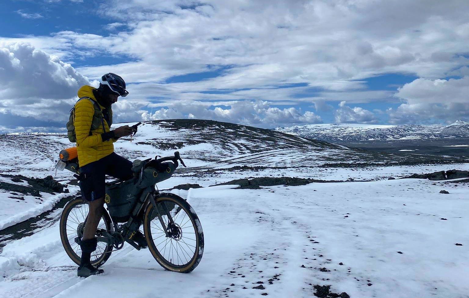
Iceland Divide – Lava fields, icy glaciers and river crossings
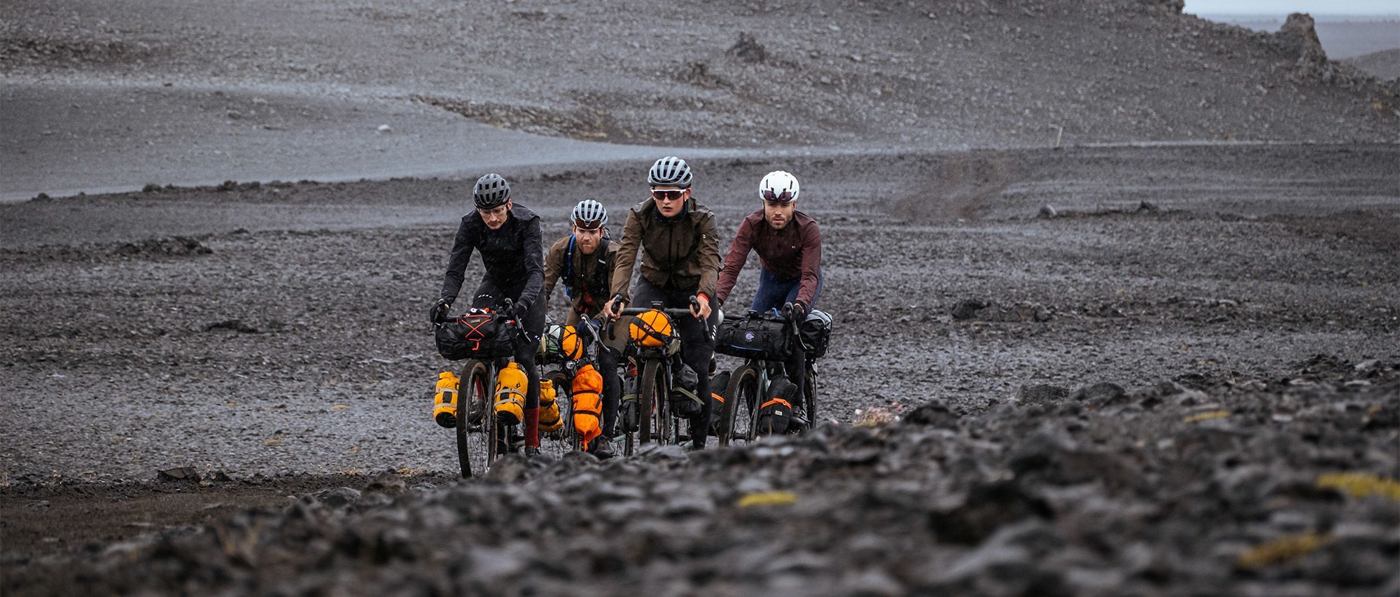
Iceland Divide — Ride Beyond Crew: between fire and ice
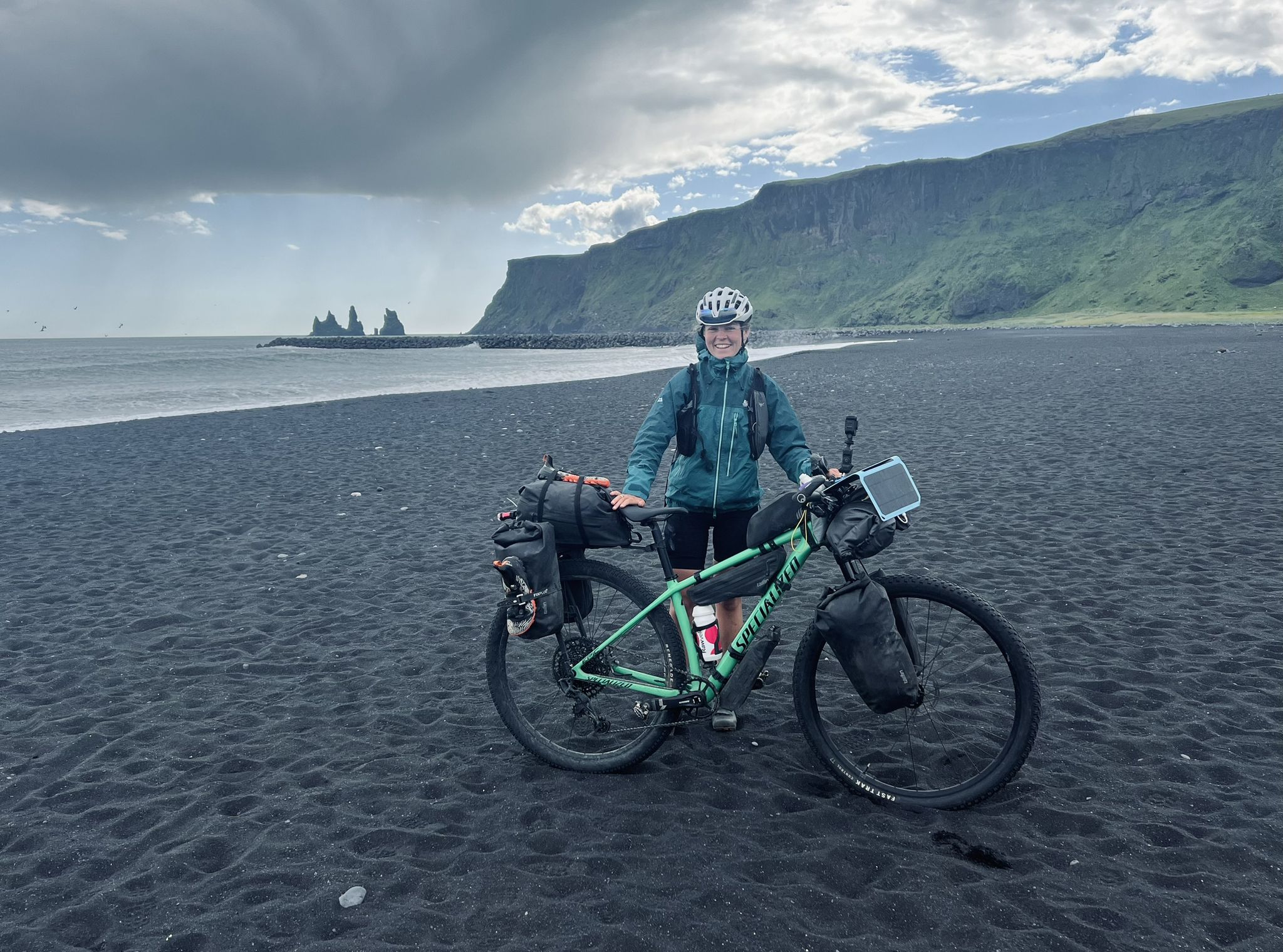
Solitude in the saddle – Iceland Divide
Other adventures in Skútustaðahreppur


Tips from the Community

Hverfjall is one of the most symmetrical craters on Earth, the typical volcano as we have always imagined it. The climb is steep but fully doable in 15/20 minutes from the paid parking lot below, after which you can walk the path along the entire crater in about an hour. For the more daring, it is also possible to descend inside the crater. A visit is also recommended in the middle of the night, when everything is even more magical.
0
0
Hverfjall is one of the most symmetrical craters on Earth, the typical volcano as we have always imagined it. The climb is steep but fully doable in 15/20 minutes from the paid parking lot below, after which you can walk the path along the entire crater in about an hour. For the more daring, it is also possible to descend into the crater. A visit is also recommended in the middle of the night, when everything is even more magical.
0
0


Climbing up Hverfjall was a real highlight (on an e-bike). Actually more for hikers (:- Great view from the top
0
0

Volcanic cave next to Lake Mývatn, famous for its blue hot springs nestled among lava rocks. Formed by geothermal eruptions and seeps, it offers a magical landscape for epic photos. Slippery rocks:
0
0

Nice path towards the crater. You can walk all the way around once at the top. Also accessible in winter but use snowshoes for your own safety. Really come in handy when climbing and descending.
0
0

A beautiful place... and such clear water.
0
1

Simply indescribable. A must visit.
0
0
Frequently Asked Questions
How can I reach the hiking trailheads in Skútustaðahreppur using public transport?
Many of the hiking trails in Skútustaðahreppur, particularly those around Lake Mývatn, are conveniently accessible by public transport. The main village of Reykjahlíð serves as a central hub, with several routes starting directly from or near bus stops there. For instance, you can begin your hike to Hverfjall Crater or explore the area around Grjótagjá Cave directly from Reykjahlíð.
What kind of public transport hiking trails can I find in Skútustaðahreppur?
Skútustaðahreppur offers a diverse range of public transport accessible hikes, from easy strolls around unique geological formations to more challenging ascents of volcanic craters. The trails often lead through dramatic volcanic landscapes, past geothermal areas, and offer stunning views of Lake Mývatn. The focus is on car-free accessibility, with routes designed to start and end near bus stops.
Are there easy public transport accessible hikes suitable for beginners or families?
Yes, there are several easy routes perfect for beginners or families. The area around the Skútustaðagígar pseudocraters offers gentle walks with beautiful lake views. An excellent example is the Grjótagjá Cave – Stóragjá Gorge loop from Reykjahlíð, which is rated as easy and allows you to explore fascinating natural features without significant elevation gain.
What are some more challenging public transport accessible hikes in Skútustaðahreppur?
For those seeking a greater challenge, the region offers hikes with more significant elevation and longer distances. The Reykjahlíð Village loop from Reykjahlíð is a difficult route covering over 23 km, providing extensive views and a comprehensive exploration of the area. Ascents to volcanic craters like Hverfjall also offer moderate to challenging experiences, such as the Hverfjall Ascent Trail – Hverfjall Crater loop.
Are there circular hiking routes accessible by public transport?
Many of the public transport accessible routes in Skútustaðahreppur are designed as circular loops, allowing you to start and finish at the same public transport stop. This makes planning your car-free adventure straightforward. Examples include the Hverfjall Trailhead – Hverfjall Ascent Trail loop and the Grjótagjá Cave – Námafjall Summit loop, both starting from Reykjahlíð.
What natural attractions can I see along public transport hiking trails?
The public transport accessible trails in Skútustaðahreppur lead to some of Iceland's most unique natural wonders. You can explore the impressive Hverfjall Crater, witness the vibrant geothermal activity at Hverir (Námafjall), or discover the unique lava formations of Dimmuborgir. The mystical Grjótagjá Cave with its hot springs is also a popular stop on several routes.
How frequent and reliable are public transport connections to the trailheads in Skútustaðahreppur?
Public transport services in the Skútustaðahreppur area, particularly around Lake Mývatn and Reykjahlíð, are generally reliable, especially during peak tourist seasons. However, frequencies can vary, so it's always advisable to check the latest bus schedules before planning your hike. For detailed and up-to-date information on bus routes and timetables, we recommend consulting the local transport provider or the Visit Mývatn website: visitmyvatn.is.
What do other hikers enjoy the most about hiking in Skútustaðahreppur?
The komoot community highly rates the hiking experiences in Skútustaðahreppur, with an average score of 4.57 stars. Reviewers often praise the otherworldly volcanic landscapes, the unique geological formations like craters and pseudocraters, and the convenience of accessing these trails directly from public transport stops. The dramatic scenery and the feeling of exploring a truly unique environment are frequently highlighted.
Are there any tips for planning a car-free hiking trip in Skútustaðahreppur?
Planning a car-free hiking trip in Skútustaðahreppur is very feasible. Focus on routes that start and end at public transport hubs like Reykjahlíð. Always check bus schedules in advance, especially for your return journey, as frequencies might be lower in the evenings or off-season. Pack essentials like water, snacks, and appropriate gear for varying weather conditions, as services might not be readily available directly on the trails. Consider using circular routes to simplify logistics.
Can I combine multiple public transport accessible hikes in a single day?
Depending on the duration and difficulty of the chosen routes, combining multiple shorter, easy hikes in a day is certainly possible, especially if they are close to each other and well-connected by public transport. For example, you could explore the pseudocraters in the morning and then take a short bus ride to another trailhead for an afternoon walk around Dimmuborgir. Always factor in travel time between trailheads and consult bus schedules carefully to ensure you don't miss your connections.
Most popular attractions in Skútustaðahreppur

Get inspired with the komoot mobile app


Didn’t find what you were looking for?
Check out more Hikes throughout Skútustaðahreppur below and find the perfect route in your destination.
Explore more
Browse the best Hikes in other regions.
