The best city hikes and walks in Prato
4.4
(5841)
22,627
hikers
64
hikes
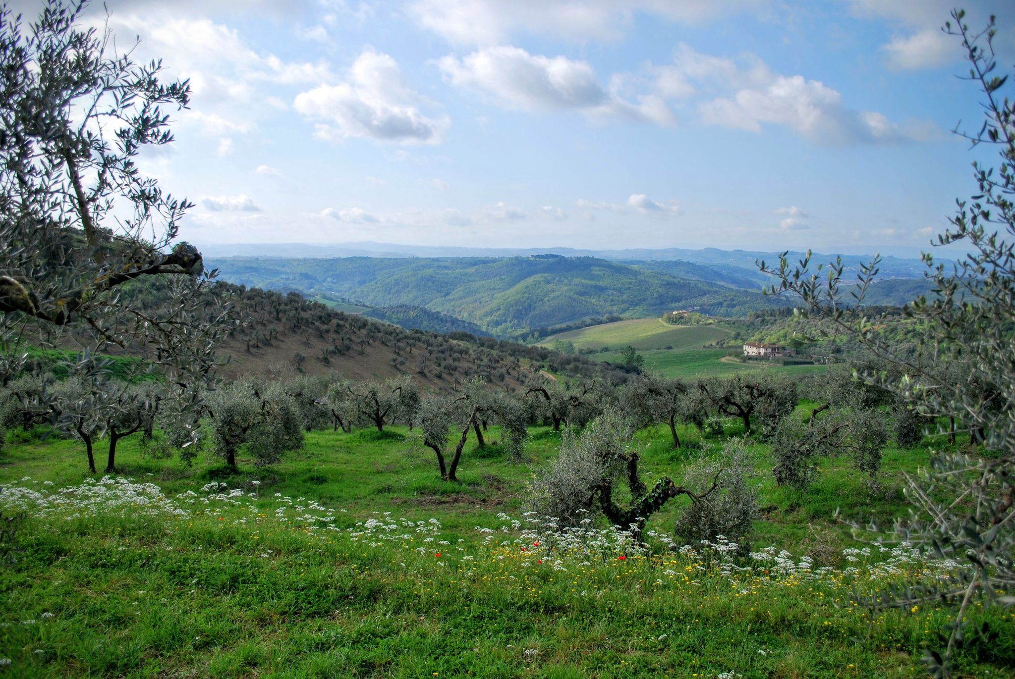
Urban hiking trails in Prato offer a blend of historical cityscapes and accessible green spaces. The city is situated in Tuscany, with the Bisenzio Valley running through it, providing natural corridors. Prato's urban environment is complemented by parks such as Cascine di Tavola Park and Parco di Galceti, which integrate nature within the city's periphery. The terrain within the city limits is generally flat, with gentle inclines leading to surrounding hills.
Best urban hiking trails in Prato
- The most popular…
Last updated: July 11, 2026
4
hikers
2.69km
00:41
10m
10m
Easy hike. Great for any fitness level. Easily-accessible paths. Suitable for all skill levels.
4.2
(19)
147
hikers
7.73km
01:59
30m
30m
Easy hike. Great for any fitness level. Easily-accessible paths. Suitable for all skill levels.

Sign up for free
4.5
(11)
118
hikers
8.57km
02:11
30m
30m
Moderate hike. Good fitness required. Easily-accessible paths. Suitable for all skill levels.
4.6
(8)
75
hikers
15.3km
04:00
100m
100m
Moderate hike. Good fitness required. Easily-accessible paths. Suitable for all skill levels.
4.0
(1)
34
hikers
Easy hike. Great for any fitness level. Easily-accessible paths. Suitable for all skill levels.
Get access to more routes and recommendations from other explorers.
Sign up for free
Already have an account?
Our route recommendations are based on thousands of hikes, rides, and runs completed by other people on komoot.
Start today with a free account
Your next adventure awaits.
Login or Signup




Tips from the Community

The Bisenzio river (a 47 km long tributary of the Arno) has vital historical importance for the economy of the Prato area. Since the Middle Ages, its waters have been diverted to feed a dense network of mills and fulling mills, using a complex system of artificial canals called "gore".
1
0

Piazza del Comune is the topographic and political heart of Prato. Born at the end of the 13th century, it houses the two most important historical buildings in the city and welcomes tourists and residents in an elegant space surrounded by Renaissance arcades. The main points of interest include: Palazzo Comunale: Seat of the Town Hall. Inside, there is a valuable painting collection, and the atrium houses the original fountain of the "Bacchino" (a work by Ferdinando Tacca). Palazzo Pretorio: Majestic medieval building that dominates the square and houses the Museum of Palazzo Pretorio.
0
0
The Emperor's Castle (also known as the Fortress of Santa Barbara or Swabian Castle) is located in the historic center of Prato, in Piazza Santa Maria delle Carceri. It is the only example of Swabian (Frederickian) architecture in central-northern Italy, built between 1237 and 1248 by the architect Riccardo da Lentini at the behest of Emperor Frederick II of Swabia. The fortress served to guard the communication routes between Germany and southern Italy. Structure and Architecture: Square plan: the sides measure approximately 40 meters, with walls two and a half meters thick made of alberese stone. Eight towers: four main towers at the corners corresponding to the cardinal points and four central towers. Guelph battlements: the walls are decorated with classic swallowtail battlements. [1] Bichrome portal: the main entrance combines Gothic style with Romanesque-Tuscan elements, characterized by alternating bands of white and green marble and protected by two lions
0
0
The Bisenzio is an important Italian river in northern Tuscany, about 47 kilometers long, known for being a right tributary of the Arno River. It originates from the Tuscan-Emilian Apennines and flows through the provinces of Prato and Florence, serving as a geographical and historical axis for the entire Bisenzio Valley.
1
0


The two cycle paths of Prato on the right and left bank of the Bisenzio allow you to continuously overlook the river and above all avoid city traffic. It's a shame that there is no indication of the direction.
1
0
The cycle paths of Prato along the left and right banks of the Bisenzio are very useful for avoiding city traffic; it's a shame that they named them after famous cyclists without indicating the direction!
1
0
It is the so-called S. Lucia footbridge. Particularly useful in this period that the path on the right bank is closed in the upstream section.
3
0
Frequently Asked Questions
How many urban hiking trails are available in Prato?
Prato offers a wide selection of urban hiking trails, with over 45 routes available. These range from easy strolls through the city to more challenging walks that venture into the immediate surroundings.
What is the general difficulty level of urban hikes in Prato?
The urban hiking trails in Prato cater to various fitness levels. You'll find a good mix, with over 25 easy routes perfect for a relaxed walk, around 20 moderate trails for those seeking a bit more challenge, and a few difficult options for experienced urban hikers.
What do other hikers say about urban hiking in Prato?
The komoot community highly rates urban hiking in Prato, with an average score of 4.5 out of 5 stars from over 2,300 reviews. Hikers often praise the blend of historical sites, natural beauty, and the accessibility of the routes.
Are there any easy urban walks suitable for beginners or families in Prato?
Yes, Prato has many easy urban walks perfect for beginners or families. A great option is the Prato Center — Ring Tour, which offers a gentle introduction to the city's charm. The Bailey Bridge – Gino Bartali Cycle Path loop from Prato Centrale is another moderate option that is relatively flat and enjoyable.
Can I bring my dog on urban hikes in Prato?
Many urban trails in Prato are dog-friendly, especially those that follow river paths or pass through parks like the Cascine di Tavola Park. Always keep your dog on a leash and be mindful of other hikers and local regulations, particularly in more crowded city areas.
Are there circular urban hiking routes in Prato?
Yes, several urban hiking routes in Prato are circular, allowing you to start and end in the same location. The Prato Center — Ring Tour is a prime example, offering a convenient loop through the city.
Are urban hiking trails in Prato accessible by public transport?
Many urban hiking trails in Prato are easily accessible by public transport, especially those starting from the city center or near train stations like Prato Centrale or Prato Porta al Serraglio. Routes like the Porta Mercatale loop from Prato Centrale are designed with public transport access in mind.
What natural features or landmarks can I see on urban hikes around Prato?
Urban hikes in Prato offer a mix of natural beauty and historical landmarks. You might encounter the historic Acquedotto del Nottolini, explore the green spaces of Cascine di Tavola Park, or even spot the wild horses on the Calvana Ridge if your urban hike extends to the city's immediate outskirts. Within the city, you can explore highlights like the Croce della Retaia or the Monte Maggiore Summit on routes that climb above the city.
Are there urban walks that include historical sites or points of interest?
Absolutely. Prato's rich history is woven into its urban fabric. Many walks will take you past significant sites like the Emperor's Castle, the Medici Villa of Poggio a Caiano, or through the historic city center. The Emperor's Castle – Carteano Spring loop from Prato is an excellent example of a route combining history with nature.
What are some longer urban hikes for experienced walkers in Prato?
For those looking for a longer challenge, routes like the Emperor's Castle – Carteano Spring loop from Prato or the Carteano Spring – Town Hall Square, Prato loop from Prato Porta al Serraglio offer extended distances and more elevation gain, providing a rewarding experience that blends urban exploration with the surrounding hills.
Are there urban walks with cafes or places to stop for refreshments?
Yes, Prato's urban environment means you're never far from a cafe, restaurant, or gelateria. Many city center routes, such as the Prato Center — Ring Tour, pass directly through areas with numerous options for a coffee break or a meal.
What is the best time of year for urban hiking in Prato?
Spring and autumn are generally the most pleasant seasons for urban hiking in Prato. The weather is mild, and the city's parks and surrounding landscapes are at their most vibrant. Summer can be hot, so early mornings or late afternoons are preferable, while winter offers cooler, crisp air, though some higher elevation paths might be chilly.
Most popular routes in Prato
Most popular attractions in Prato

Get inspired with the komoot mobile app


Didn’t find what you were looking for?
Check out more Hikes throughout Prato below and find the perfect route in your destination.
Explore more
Browse the best Hikes in other regions.
