The best hikes from bus stations in Asti
4.4
(2082)
6,874
hikers
152
hikes
Hiking in Asti, located in Italy's Piedmont region, offers diverse landscapes for outdoor exploration. The area is characterized by rolling hills, extensive vineyards, and dense chestnut and hazelnut forests. Unique "Rocche" geological formations, deep gullies from an ancient sea, add distinct character to the terrain. This region provides a variety of trails suitable for different hiking preferences.
Best bus station hiking trails in Asti
- The most popular bus station hiking route is Walking through the vineyards from San Marzano Oliveto — Ring tour, an easy 4.0 miles (6.4 km) trail that takes about 1 hour 50 minutes to complete. This route traverses picturesque vineyards, offering panoramic views of the surrounding landscape.
- Another top favourite among local hikers is Aramengo Loop Trail, a moderate 9.3 miles (15.0 km) path. This trail winds through the region's characteristic rolling hills and forests, providing varied scenery.
- Local hikers also love the From Aramengo to Albugnano (via Trail 114), a 4.6 miles (7.4 km) trail leading through the Monferrato hills, often completed in about 2 hours 19 minutes.
- Hiking in Asti is defined by rolling hills, extensive vineyards, and dense forests. The network offers options for different ability levels, from easy walks to more challenging routes.
- The routes in Asti are highly rated by the komoot community with an average score of 4.36 stars from over 1700 reviews. More than 5900 hikers have used komoot to explore Asti's varied terrain.
Last updated: July 11, 2026
4.4
(26)
71
hikers
6.45km
01:50
150m
150m
The "Walking through the vineyards from San Marzano Oliveto — Ring tour" offers an easy hike through the picturesque wine-growing region of Piedmont, Italy. This ring tour covers 4.0 miles (6.4 km) with a gentle elevation gain of 479 feet (146 metres), typically taking about 1 hour and 49 minutes to complete. You will traverse vineyard paths and agricultural tracks, enjoying panoramic views of rolling hills and extensive vineyards, part of the UNESCO World Heritage-listed Langhe and Monferrato area. The route also features historical elements, including the notable Castle of San Marzano Oliveto, adding a cultural dimension to the scenic walk.
This easy hike is suitable for all skill levels and any fitness level, making it a great choice for a leisurely outing. The paths are easily accessible, ensuring a comfortable experience as you explore the landscape. While specific details on trailhead access or parking are not provided, the route is designed for straightforward navigation through the region's agricultural heartland. Consider visiting during pleasant weather to fully appreciate the open vineyard views.
What makes this trail particularly notable is its direct engagement with Piedmont's renowned wine culture. You get the chance to walk directly through the vineyards that produce famous wines like Barbera. The presence of historical architecture, such as the Castle of San Marzano Oliveto, further enriches the experience, blending natural beauty with agricultural heritage. This highly regarded route offers a genuine taste of the region's celebrated wine tourism.
3.0
(1)
2
hikers
15.0km
04:22
400m
400m
Hike 9.3 miles (15.0 km) from Aramengo to Berzano San Pietro on Route 105, exploring Piedmont's vineyards and Romanesque churches.

Sign up for free
7.39km
02:19
290m
290m
Peaceful countryside trail linking medieval villages through Monferrato's vineyards and historic chapels.
1
hikers
10.8km
02:57
160m
160m
Gentle countryside walk through Monferrato vineyards connecting historic villages and traditional trattorias.
5.0
(1)
1
hikers
8.46km
02:10
30m
30m
Hike 5.3 miles from Castell'Alfero to Frinco (Route 402) through Monferrato's rolling hills and vineyards, rated moderate.
Get access to more routes and recommendations from other explorers.
Sign up for free
Already have an account?
Our route recommendations are based on thousands of hikes, rides, and runs completed by other people on komoot.
Start today with a free account
Your next adventure awaits.
Login or Signup
Popular around Asti

Hikes from bus stations around Natural Park Rocchetta Tanaro

Car Free Piedmont – hiking face to face with nature

Piedmont by bike – rides among hills, villages and vineyards
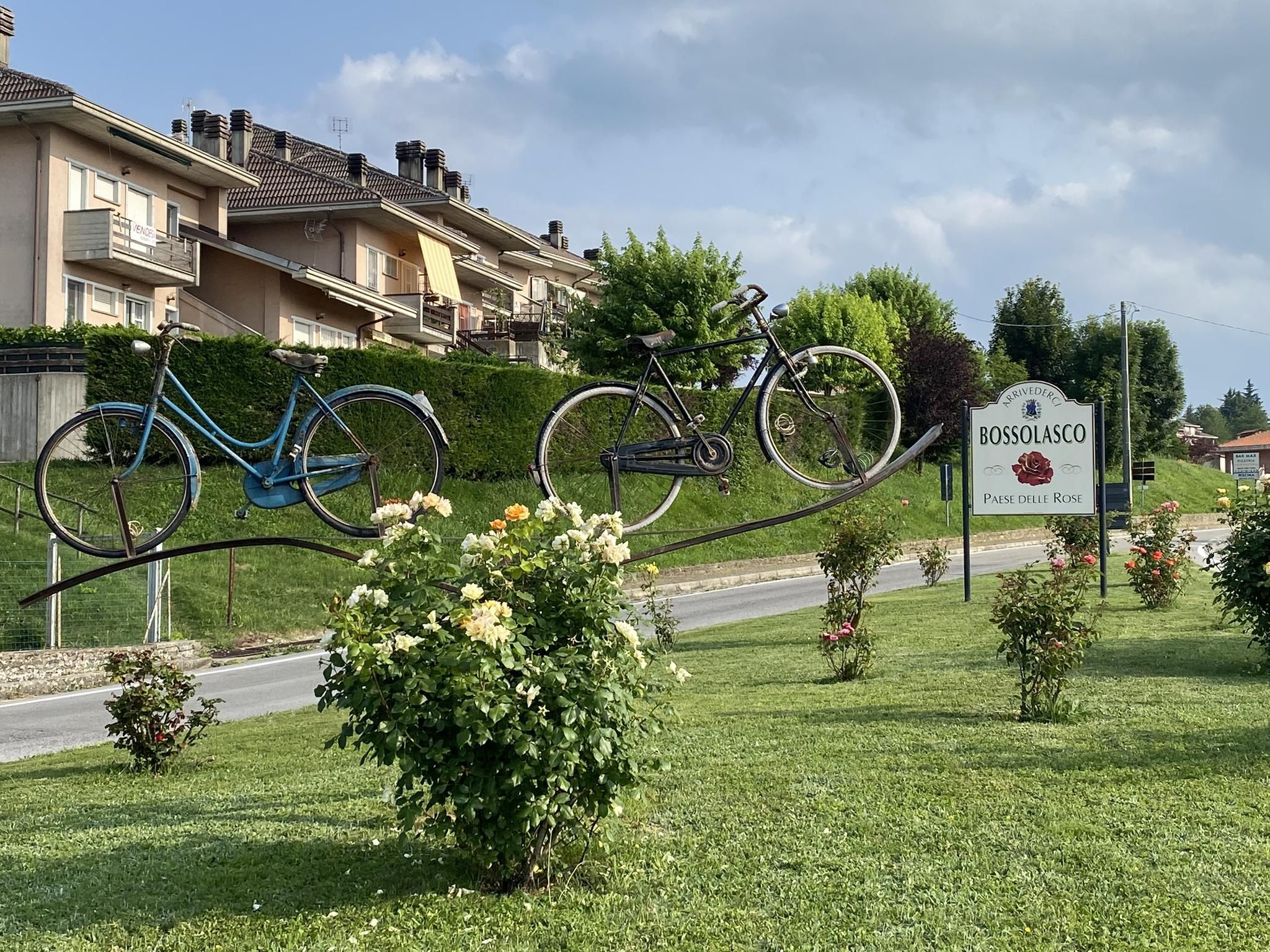
In Italy’s hidden Langhe hills in Piedemont – the climbs of champions
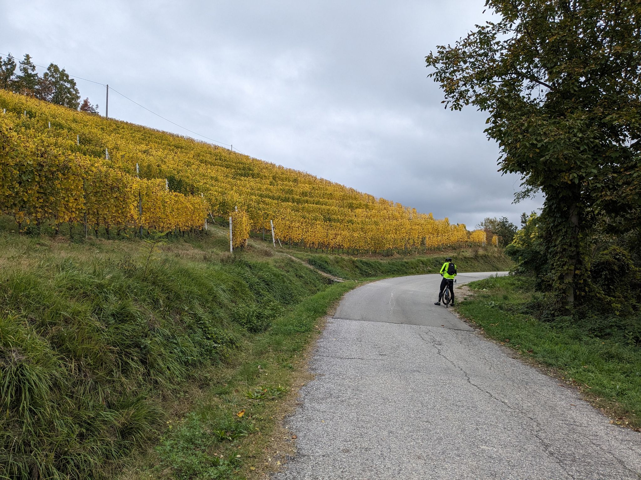
Cycling, food and wine – the Langhe, Monferrato and Roero vineyards

Land of wines, culture, good food – UNESCO Grand Tour in Piedmont
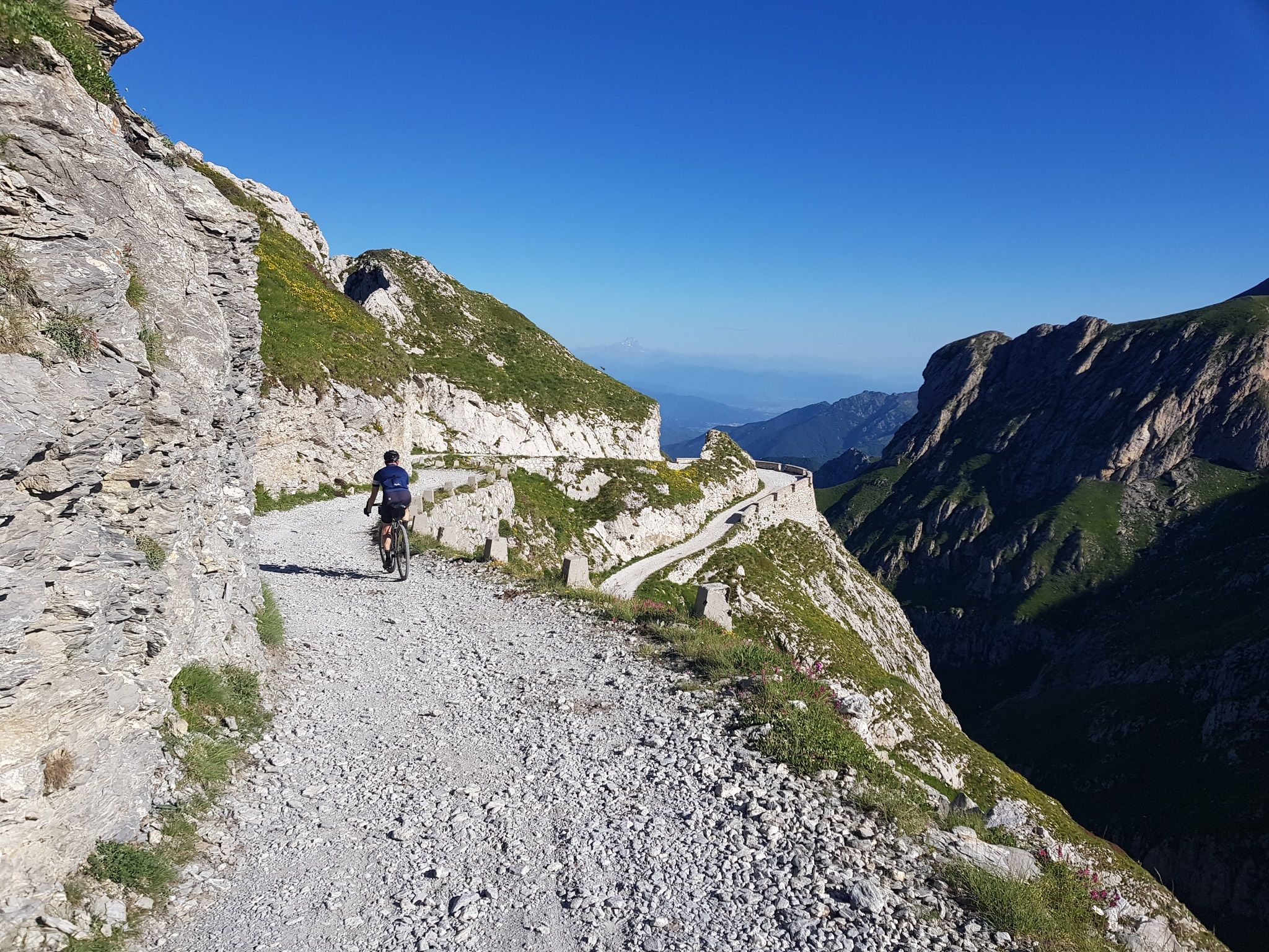
Mediterranean passes and gentle hills — cycling in Piedmont
Other adventures in Asti


Tips from the Community

As you approach the hamlet of "Stazione" of Castell'Alfero.
0
0
The paved via Valle at a certain point descends into a dirt road and continues for several kilometers up to the village of Frinco. Convenient, it runs parallel to the SP22 (with a wide roadway and space to pedal in relative tranquility if you wish).
0
0


Vineyard with colored pastels, similar to the one in Coazzolo.
1
0
View of the city of Canelli from the adjacent hills
1
0
small multicolor "ciabot". nice
1
1
Frequently Asked Questions
How many bus station hiking trails are available in Asti?
Asti offers a wide selection of hiking trails accessible from bus stations, with over 130 routes available. These range from easy strolls through vineyards to more challenging treks across the rolling hills of the Monferrato region.
What kind of landscape can I expect on hikes from Asti's bus stations?
Hikes from Asti's bus stations immerse you in the iconic Piedmont landscape. You'll traverse picturesque rolling hills, extensive vineyards, and tranquil chestnut and hazelnut forests. Many routes offer panoramic views that, on clear days, can stretch all the way to the Alps. Unique geological formations known as "Rocche" also add a distinct character to some areas.
Are there easy hikes suitable for beginners from Asti's bus stations?
Yes, Asti has numerous easy hikes perfect for beginners or those looking for a relaxed walk. For example, the Walking through the vineyards from San Marzano Oliveto — Ring tour is an easy route that takes you through beautiful vineyard landscapes with minimal elevation gain.
Are there circular routes accessible from Asti's bus stations?
Many of the trails accessible from Asti's bus stations are designed as circular routes, allowing you to start and end your hike at the same point, often conveniently located near a bus stop. The Aramengo Loop Trail is a great example of a moderate circular hike through the countryside.
What points of interest can I see along these routes?
Along the bus station hiking trails in Asti, you can discover various points of interest. These include natural features like the Bialbero di Casorzo, a unique double tree, or the Sulphur Fountain of San Dionigi. Some routes also pass through historical villages or offer views of ancient churches nestled in the landscape.
What is the best time of year to hike near Asti's bus stations?
The best time to hike near Asti's bus stations is typically during spring (April to June) and autumn (September to October). During these seasons, the weather is mild, the vineyards are either blooming or showcasing vibrant fall colors, and the trails are generally in excellent condition. Summer can be hot, while winter might offer crisp, clear days but some trails could be muddy or slippery.
Are the bus station hiking trails in Asti suitable for families?
Yes, many trails are suitable for families, especially the easier routes that wind through vineyards and gentle hills. These paths offer a pleasant outdoor experience without being overly strenuous. Always check the specific route details for distance and elevation to ensure it matches your family's capabilities.
Can I bring my dog on these hikes?
Generally, dogs are welcome on many hiking trails in the Asti region, provided they are kept on a leash and you clean up after them. However, specific nature reserves or private lands might have restrictions. It's always best to check local signage or specific route information if you plan to visit a protected area like the Val Sarmassa Nature Reserve.
Are there places to eat or drink near the trailheads accessible by bus?
Many of the villages and towns that serve as starting points for these bus-accessible hikes, such as Aramengo or Castelnuovo Don Bosco, have local cafes, trattorias, or small shops where you can grab a refreshment or a meal before or after your hike. It's advisable to check opening hours, especially in smaller communities.
What do other hikers say about the trails accessible from Asti's bus stations?
The hiking trails in Asti are highly regarded by the komoot community, boasting an average rating of 4.36 stars from over 1,700 reviews. Hikers frequently praise the stunning vineyard views, the tranquility of the forests, and the well-maintained paths that make for an enjoyable outdoor experience.
How can I reach the trailheads from Asti's bus station?
From Asti's main bus station, you can utilize local bus services to reach various towns and villages that serve as trailheads for the region's hiking routes. Popular destinations like Aramengo, San Marzano Oliveto, or Castelnuovo Don Bosco are typically well-connected. We recommend checking the local bus schedules in advance to plan your journey effectively.
What should I wear for hiking in the Asti region?
For hiking in the Asti region, we recommend wearing comfortable, layered clothing suitable for the season. Sturdy hiking shoes with good grip are essential, especially for routes that might involve uneven terrain or vineyard paths. Don't forget sun protection, a hat, and plenty of water, particularly during warmer months.
Most popular routes in Asti
Most popular attractions in Asti

Get inspired with the komoot mobile app


Didn’t find what you were looking for?
Check out more Hikes throughout Asti below and find the perfect route in your destination.
Explore more
Browse the best Hikes in other regions.
