The best hikes from bus stations in Wexford
4.5
(363)
2,710
hikers
15
hikes
Bus station hiking trails in Wexford offer access to a diverse landscape, ranging from expansive sandy beaches to rugged hills and serene woodlands. The county's terrain includes coastal paths, river valleys, and elevated areas providing panoramic views. This variety ensures a range of hiking experiences for different preferences and abilities.
Best bus station hiking trails in Wexford
- The most popular bus station hiking route is Brandon Hill Summit – Beautiful views loop from Duiske Abbey, a 9.5 miles (15.2…
Last updated: July 17, 2026
4.6
(5)
36
hikers
4.84km
01:14
10m
10m
Easy hike. Great for any fitness level. Easily-accessible paths. Suitable for all skill levels.
2
hikers
20.5km
06:57
710m
710m
Hard hike. Very good fitness required. Mostly accessible paths. Sure-footedness required.

Sign up for free
1
hikers
26.8km
08:39
860m
860m
Hard hike. Very good fitness required. Mostly accessible paths. Sure-footedness required.
3.14km
00:48
10m
10m
Easy hike. Great for any fitness level. Easily-accessible paths. Suitable for all skill levels.
4.8
(4)
25
hikers
Easy hike. Great for any fitness level. Easily-accessible paths. Suitable for all skill levels.
Get access to more routes and recommendations from other explorers.
Sign up for free
Already have an account?
Our route recommendations are based on thousands of hikes, rides, and runs completed by other people on komoot.
Start today with a free account
Your next adventure awaits.
Login or Signup
Popular around Wexford

Hikes from bus stations around The Municipal District of New Ross
Hikes from bus stations around Enniscorthy
Hikes from bus stations around Rosslare
Hikes from bus stations around Wexford
Hikes from bus stations around The Municipal District of Gorey — Kilmuckridge
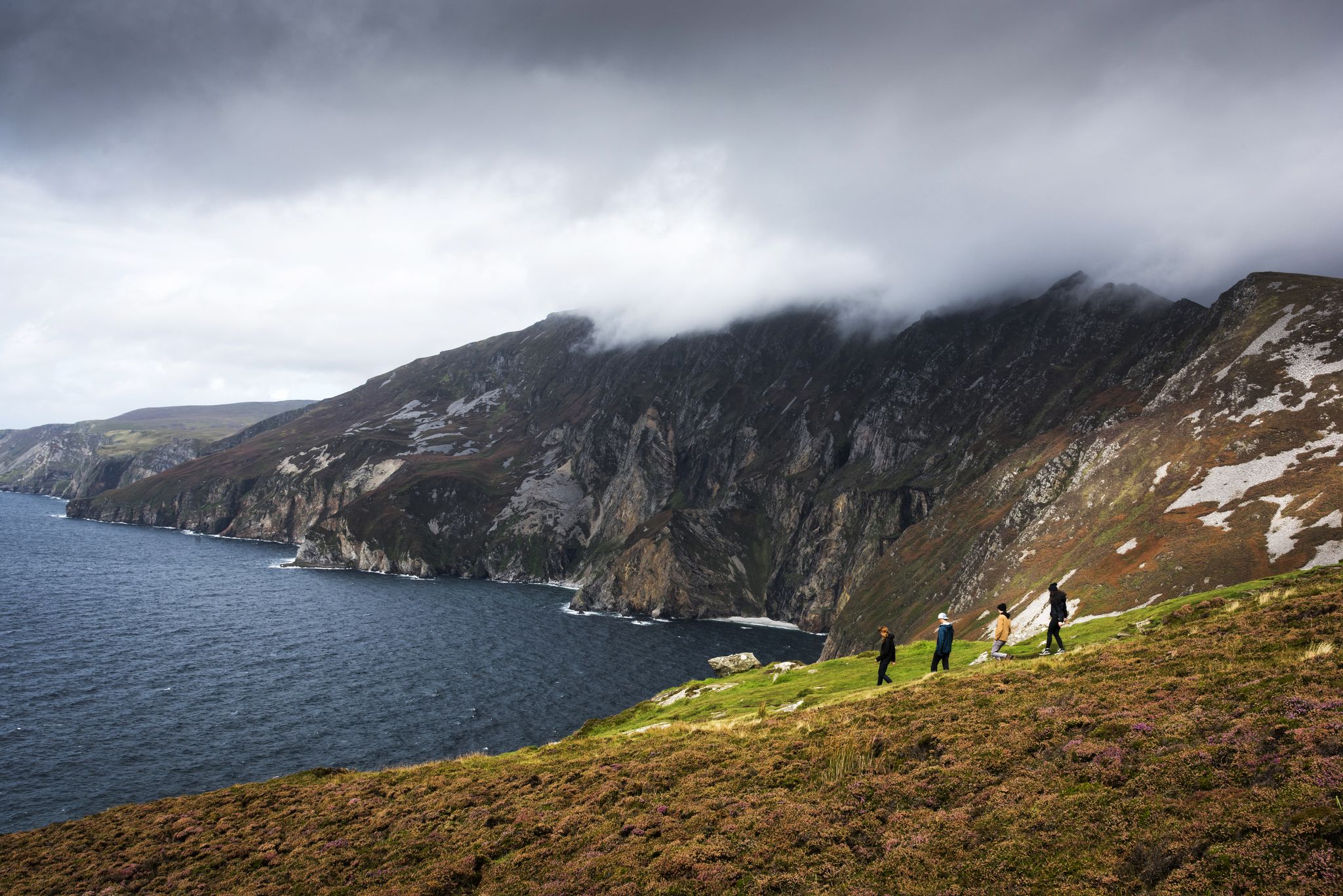
Hike Ireland's coast: cliffs, waves and wonderful wide beaches
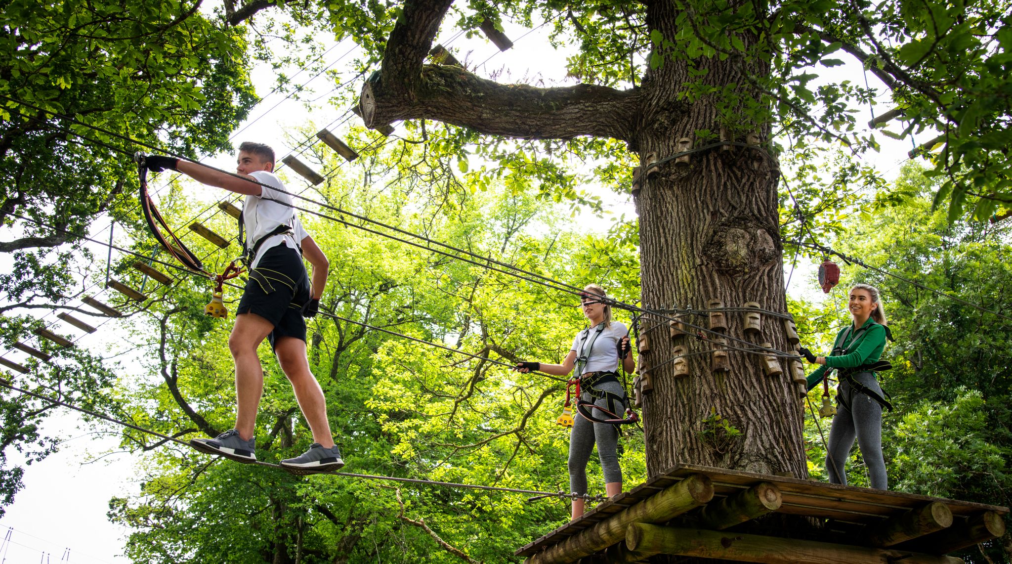
Awaken your spirit of discovery — family-friendly walks in Ireland

Discover Ireland's past – historical walks on the Emerald Isle
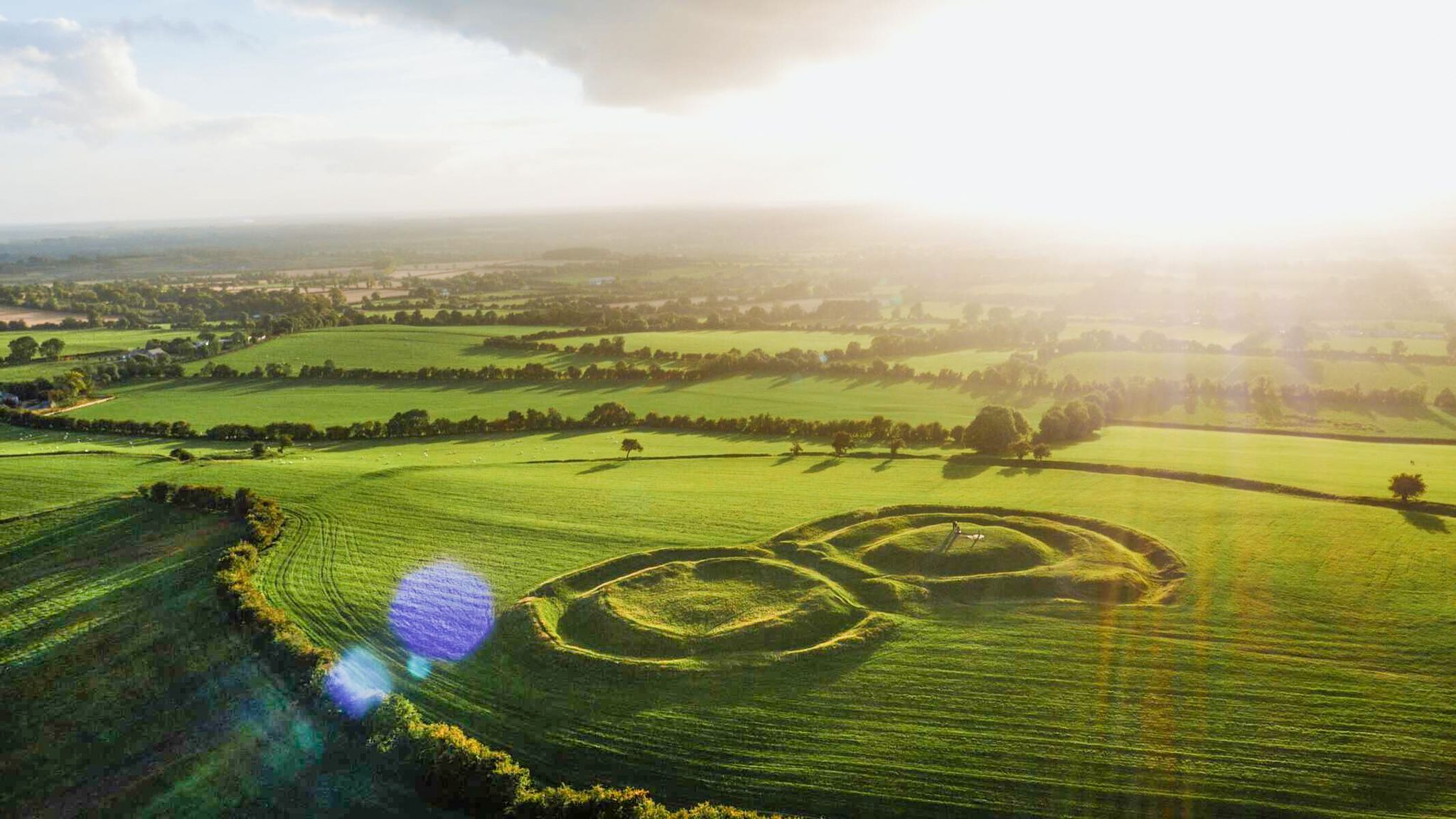
The magical east of Ireland – ancient places, scenic lakes and rocky mountains
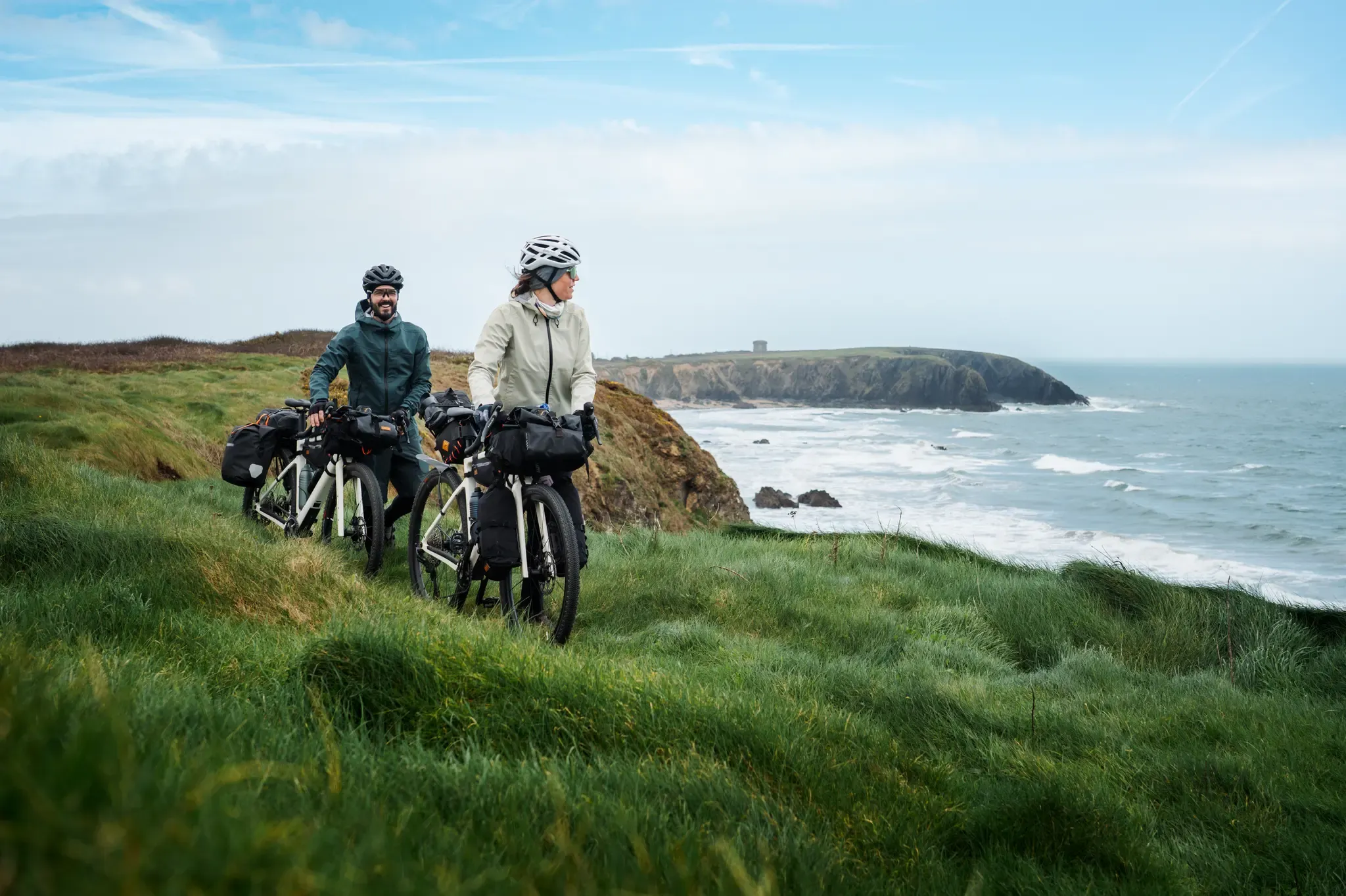
On the EuroVelo 1 through Ireland's south – green expanses & lonely beaches
Other adventures in Wexford

Tips from the Community

Rosslare Europort is located on the southeast coast of Ireland, in County Wexford. It is the main Irish port for Ro-Ro connections (passenger and freight ferries) to Wales (Fishguard and Pembroke) and mainland Europe (France and Spain).
0
0

From here you get interesting views down onto Rosslare Harbour's Europort. This modern seaport connects Ireland's southeast with Pembroke Dock and Fishguard in Wales; Cherbourg, Dunkirk, St Malo and Roscoff in France; and Bilbao in Spain. The harbour was originally established in 1906 by the Great Western Railway, linking Ireland with Great Britain.
2
0

This lighthouse, 25 m high (115 steps to climb), was built at the end of the world in the 13th century, on the site of a fire that had been continuously maintained since the 5th century to guide boats. Below, foaming waves crash against the black schist rocks swept by strong winds.
6
0
The ruins of a medieval castle overlook the pretty fishing houses of this small harbour. Late medieval tower house with 16th-century extensions, built by the Laffan family on the harbour of Slade. The crenellated tower, arrow slits and vaulted rooms show its defensive function, while its position above the harbour betrays the importance of fishing and trade. A photogenic, quiet stop at the tip of the Hook peninsula.
7
0

Rosslare Port is the maritime heart of Southeast Ireland, a modern ferry port serving as a gateway between Ireland, the United Kingdom, and mainland Europe. The port is located on the southern edge of Rosslare Harbour, in a natural bay that has been used for shipping since the 19th century. Right next to you stand two cannons.
12
0
Rosslare Port is the maritime heart of Southeast Ireland, a modern ferry port serving as a gateway between Ireland, the United Kingdom and mainland Europe. The port is located on the southern edge of Rosslare Harbour, in a natural bay that has been used for shipping since the 19th century. A trail to the cliffs also starts here and the port is protected by two cannons.
14
0

Slade Castle is a tower house style castle which was built in the late 15th or early 16th century.
2
0
Frequently Asked Questions
How many hiking trails are accessible from bus stations in Wexford?
There are over 20 hiking trails in Wexford that are easily accessible from bus stations, offering a variety of experiences for different skill levels. These routes are designed to help you explore the region's diverse landscapes using public transport.
Are there easy hiking trails accessible by bus in Wexford?
Yes, a significant number of the bus-accessible trails in Wexford are rated as easy, making them perfect for a relaxed outing. For example, the Irish National Heritage Park loop offers a gentle walk through history, while the Top Strand Beach loop from Rosslare Strand provides a refreshing coastal experience.
Can I find moderate hiking trails from bus stations in Wexford?
Absolutely. For those looking for a bit more challenge, there are moderate trails available. The Brandon Hill Summit – Beautiful views loop from Duiske Abbey is a great option, offering rewarding panoramic views after a more strenuous climb.
What kind of landscapes can I expect on bus-accessible hikes in Wexford?
Wexford's bus-accessible trails offer an incredibly diverse range of landscapes. You can explore everything from expansive sandy beaches and dramatic coastlines, such as those found near Curracloe Beach, to serene woodlands, and even challenging mountain and hill walks like Forth Mountain or Mount Leinster. Many routes also feature picturesque riverside paths, particularly along the River Slaney.
Are there any coastal or beach walks accessible by bus in Wexford?
Yes, Wexford is renowned for its stunning coastline. The Top Strand Beach loop from Rosslare Strand is an excellent example of a beautiful beach walk accessible by bus. You can also find trails that combine beach walking with coastal woodland, such as those near Courtown Woods, or dramatic cliff paths like the Cahore Cliff Walk.
Can I find trails with historical sites or natural attractions near bus stops?
Many trails in Wexford offer access to fascinating historical sites and natural attractions. For instance, the Irish National Heritage Park loop takes you through a living history park. Other notable sites include the ancient Tintern Abbey Ruins and the scenic The Raven Nature Reserve, which features pine forests and sand dunes.
What are some popular mountain or hill walks accessible by bus in Wexford?
For those seeking elevation, Forth Mountain, just outside Wexford town, offers stunning panoramic views of the coastline and beyond. While Mount Leinster is the highest point, areas like Tara Hill near Gorey also provide rewarding climbs with views up and down the Wexford/Wicklow coastline. These areas often have trails that can be reached via local bus services.
Are there any dog-friendly trails accessible by bus in Wexford?
Many of Wexford's outdoor trails are dog-friendly, provided dogs are kept on a lead and owners adhere to local regulations, especially in nature reserves or near livestock. It's always best to check specific trail guidelines before you go. Generally, woodland and coastal paths offer great opportunities for walks with your canine companion.
What is the best time of year to go hiking in Wexford?
Wexford, known as Ireland's 'Sunny Southeast,' offers pleasant hiking conditions for much of the year. Spring and autumn provide mild temperatures and beautiful scenery, with fewer crowds. Summer is ideal for coastal walks and longer days, though trails can be busier. Winter can be crisp and clear, perfect for invigorating walks, but be prepared for potentially wet and windy weather, especially on exposed routes.
What do other hikers enjoy the most about hiking in Wexford?
The komoot community highly rates the hiking experiences in Wexford, with an average score of 4.5 stars. Reviewers often praise the incredible diversity of landscapes, from the peaceful woodlands and dramatic coastlines to the challenging mountain views. The well-maintained trails and the opportunity to discover hidden gems like waterfalls at Edenvale or historical sites like Tintern Abbey are also frequently highlighted.
Are there any waterfalls or unique natural features to see on bus-accessible hikes?
Yes, Wexford offers some beautiful natural features. For example, the Edenvale area, situated between Wexford town and Enniscorthy, features walks that lead to picturesque waterfalls along the River Sow. Additionally, areas like Forth Mountain boast unique spots like Carrick Foil Lake, providing scenic views and interesting geological formations.
Most popular routes in Wexford
Most popular attractions in Wexford

Get inspired with the komoot mobile app


Didn’t find what you were looking for?
Check out more Hikes throughout Wexford below and find the perfect route in your destination.
Explore more
Browse the best Hikes in other regions.
