The best hikes from bus stations in Περιφερειακή Ενότητα Ηρακλείου
4.3
(9783)
41,772
hikers
309
hikes
Hiking in Περιφερειακή Ενότητα Ηρακλείου offers diverse landscapes, from coastal paths to mountainous terrain. The region is characterized by the high peaks of Mount Ida and the Dikti mountains, deep gorges such as Samaria and Richtis, and fertile plateaus like Lassithi. Hikers can explore a network of trails that traverse olive groves, traditional villages, and ancient sites, providing varied experiences across its natural features.
Best bus station hiking trails in Περιφερειακή Ενότητα Ηρακλείου
- The most popular bus station hiking route…
Last updated: August 21, 2026
4.6
(344)
1,096
hikers
6.56km
01:58
190m
190m
Easy hike. Great for any fitness level. Easily-accessible paths. Suitable for all skill levels.
4.7
(359)
991
hikers
13.3km
04:11
490m
490m
Moderate hike. Good fitness required. Easily-accessible paths. Suitable for all skill levels.

Sign up for free
4.8
(323)
890
hikers
18.0km
05:26
540m
540m
Hard hike. Very good fitness required. Easily-accessible paths. Suitable for all skill levels.
4.6
(101)
363
hikers
Moderate hike. Good fitness required. Easily-accessible paths. Suitable for all skill levels.
4.3
(22)
221
hikers
6.21km
01:36
30m
30m
Easy hike. Great for any fitness level. Easily-accessible paths. Suitable for all skill levels.
Get access to more routes and recommendations from other explorers.
Sign up for free
Already have an account?
Our route recommendations are based on thousands of hikes, rides, and runs completed by other people on komoot.
Start today with a free account
Your next adventure awaits.
Login or Signup
Popular around Περιφερειακή Ενότητα Ηρακλείου
Hikes from bus stations in Κουνάβων Δήμου Καζαντζάκη

Hikes from bus stations in Άνω Λιμνίων Μαλίων

Hikes from bus stations in Δυτικά Αστερούσια - Αγιοφάραγγο Του Δήμου Μοιρών

Hikes from bus stations in Βίγλα-Κρύο Νερό (Αντισκαρίου)
Hikes from bus stations in Αλμυρού Ποταμού - Κέρης Δήμων Γαζίου Και Τυλίσσου

Hikes from bus stations in Αποσελέμη Δήμου Χερσονήσου
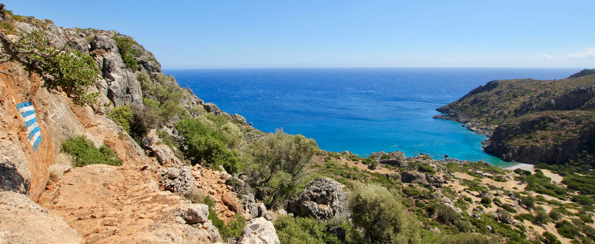
Lonely beaches & deep gorges — hiking in the south of Crete
Other adventures in Περιφερειακή Ενότητα Ηρακλείου

Tips from the Community

Currently, access near the "Villa Mare Monte" is closed due to "explosion hazard", so we had to take the Bulgarian trail from Stalida up to Mochos. Please be sure to check beforehand!
0
0


From a fishing village to a hippie village and now a tourism stronghold, it has nothing to do with hippies anymore. No free love and lightness, only consumption and merchandising 🕳
0
0

A very beautiful, worthwhile harbor with the great fortress
2
0

When Zeus, in the form of a white bull, seduced Princess Europa, he crossed the sea and brought her to the beach of Matala. There he transformed himself into an eagle and flew her to Gortys, where he had sex with her.
1
1
Matala was once a fishing village. In the 1960s, the caves were occupied by hippies[1] who were later evicted by the church and the military junta. Today, Matala is a popular tourist destination, relying on bus tours and summer visitors. There are many gift shops and bars. Matala's hippie history is celebrated during the three-day Matala Beach Festival, which has been held every June since 2011.
1
1
The artificial caves in the cliffs of Matala Bay were created in the Neolithic period. During the Minoan era, Matala was the port of Phaistos. In 220 BC, Matala was occupied by the Gortynians, and during the Roman period, it became the port of Gortys. It is thought that the caves once served as tombs, but it is more likely that they were used as dwellings due to their size (corpses don't require much space to move around). One of the caves is called "Brutospeliana" because, according to legend, it was frequented by the Roman general Brutus.
1
1
Matala (Greek: Μάταλα) is a village located 75 km southwest of Heraklion, Crete, Greece. Matala belongs to the municipality of Pitsidia within the municipal unit of Tympaki, municipality of Faistos, Heraklion region.
1
1
Frequently Asked Questions
How many bus station accessible hiking trails are available in Περιφερειακή Ενότητα Ηρακλείου?
There are over 300 hiking trails in Περιφερειακή Ενότητα Ηρακλείου that are accessible from bus stations. This includes a wide range of options, with approximately 150 easy routes, 140 moderate routes, and 16 more challenging trails.
What is the best time of year for bus accessible hikes in Heraklion?
The ideal time for hiking in Περιφερειακή Ενότητα Ηρακλείου is typically during spring (April-May) and autumn (September-October). During these months, the weather is pleasant, temperatures are moderate, and the landscape is vibrant with flora, making for comfortable and scenic walks.
Are there any family-friendly bus accessible hikes in the region?
Yes, many of the easier routes are suitable for families. For instance, the coastal paths near Agios Nikolaos Beach offer gentle walks. While specific family-focused routes accessible directly by bus vary, the region's diverse terrain includes numerous trails with minimal elevation gain, perfect for a leisurely family outing.
Can I find circular hiking routes that start and end at a bus stop?
Absolutely. Many routes are designed as loops, allowing you to start and finish at the same point, often conveniently located near public transport. An example is the Matala Rock Formations loop, which offers stunning views over Matala Bay and is accessible from the village bus stop.
What kind of natural features or landmarks can I expect to see on these trails?
The region boasts diverse natural beauty. You can explore dramatic gorges like Rouvas Gorge or Aposelemi Gorge, discover stunning beaches such as Agiofarago Beach, and encounter historical sites like the Agios Ioannis Chapel. The trails often pass through olive groves, vineyards, and offer panoramic views of the Aegean and Libyan Seas.
Are there any trails that offer views of Heraklion city or its harbor?
Yes, you can find routes that provide excellent views of Heraklion. The Heraklion Harbor loop is a moderate trail that takes you past the Koules Fortress and along the marina, offering scenic coastal vistas right from the city.
What do other hikers enjoy most about bus accessible trails in Heraklion?
The komoot community highly rates the hiking experience in Περιφερειακή Ενότητα Ηρακλείου, with an average score of 4.3 stars from over 8,400 ratings. Reviewers often praise the diverse landscapes, from coastal paths to mountain views, the accessibility of trails via public transport, and the opportunity to discover traditional villages and historical sites.
Are there any challenging bus accessible hikes for experienced trekkers?
Yes, for experienced trekkers, there are more difficult routes available. An example is the Mochos Village Center loop from Koutouloufari, which covers 18 km with significant elevation changes, offering a rewarding challenge and stunning views of the Cretan landscape.
Can I find trails that lead to traditional villages or offer cultural experiences?
Many bus accessible trails connect to or pass through traditional Cretan villages. For instance, the Mochos Village Center loop from Malia allows you to explore the charming village of Mochos, known for its authentic atmosphere. The Archanes loop also takes you through an area rich in history and local culture near the Archanes Municipal Unit.
Are there any specific points of interest or historical sites near bus-accessible trails?
Yes, the region is rich in history. You can find trails near significant landmarks such as the Koules Fortress and the Morosini Fountain in Heraklion. Many routes also traverse ancient paths, like the Old Donkey Trail Malia-Mohos, offering glimpses into the island's past.
What kind of terrain should I expect on bus accessible hikes in Heraklion?
The terrain varies significantly across Περιφερειακή Ενότητα Ηρακλείου. You can expect everything from paved coastal promenades and well-maintained village paths to rocky mountain trails and unpaved tracks through olive groves. Some gorge trails may involve uneven surfaces and steeper descents, while plateau walks offer flatter, more open landscapes.
Most popular routes in Περιφερειακή Ενότητα Ηρακλείου
Most popular attractions in Περιφερειακή Ενότητα Ηρακλείου

Get inspired with the komoot mobile app


Didn’t find what you were looking for?
Check out more Hikes throughout Περιφερειακή Ενότητα Ηρακλείου below and find the perfect route in your destination.
Explore more
Browse the best Hikes in other regions.
