The best dog-friendly hikes and walks in the Coast Range
4.7
(1780)
25,024
hikers
132
hikes
Dog friendly hiking trails in the Coast Range traverse a diverse landscape characterized by a blend of coastal and mountainous environments. The region features ancient redwood forests, dramatic coastal bluffs, and accessible mountain ridges. Hikers can explore a variety of ecosystems, from lush forests with massive ferns and abundant moss to sandy dunes and headwater streams. This varied terrain provides a wide array of experiences for different skill levels.
Best dog friendly hiking trails in the Coast Range
- The most…
Last updated: July 8, 2026
5.0
(1)
53
hikers
9.53km
02:39
150m
230m
Embark on the Dunn Trail for a moderate hiking adventure that covers 5.9 miles (9.5 km) with an elevation gain of 479 feet (146 metres). You can expect to complete…
5.0
(1)
32
hikers
5.27km
01:37
160m
210m
Embark on the East Shore and Heron Bay Trail Loop, an easy hike that offers diverse scenery within Del Valle Regional Park. You will traverse wide paths and single-track sections…

Sign up for free
18
hikers
3.90km
01:11
130m
140m
The Shady Slope, Short Ridge and Sand Hill Trail Loop offers a delightful mix of wooded canyons and open rolling hills, making it a local favorite in Danville. You'll start…
14
hikers
6.78km
01:59
210m
180m
The Harvey Bear, Willow Springs, and Townsprings Loop offers a delightful escape into rolling California hills, perfect for a refreshing hike. You will wind through diverse terrain, from sun-drenched grassy…
15
hikers
7.14km
01:48
10m
10m
Embark on an easy hike along the San Francisco Bay Trail and Channel Trail, a route that offers diverse scenery as you explore paved paths and gravel sections. You will…
Get access to more routes and recommendations from other explorers.
Sign up for free
Already have an account?
Our route recommendations are based on thousands of hikes, rides, and runs completed by other people on komoot.
Start today with a free account
Your next adventure awaits.
Login or Signup
Popular around Coast Range

Pacific Crest Trail from Mexico to Canada – 4,200 kilometres of wilderness

Bay Area Ridge Trail — Hiking the backbone of The Bay
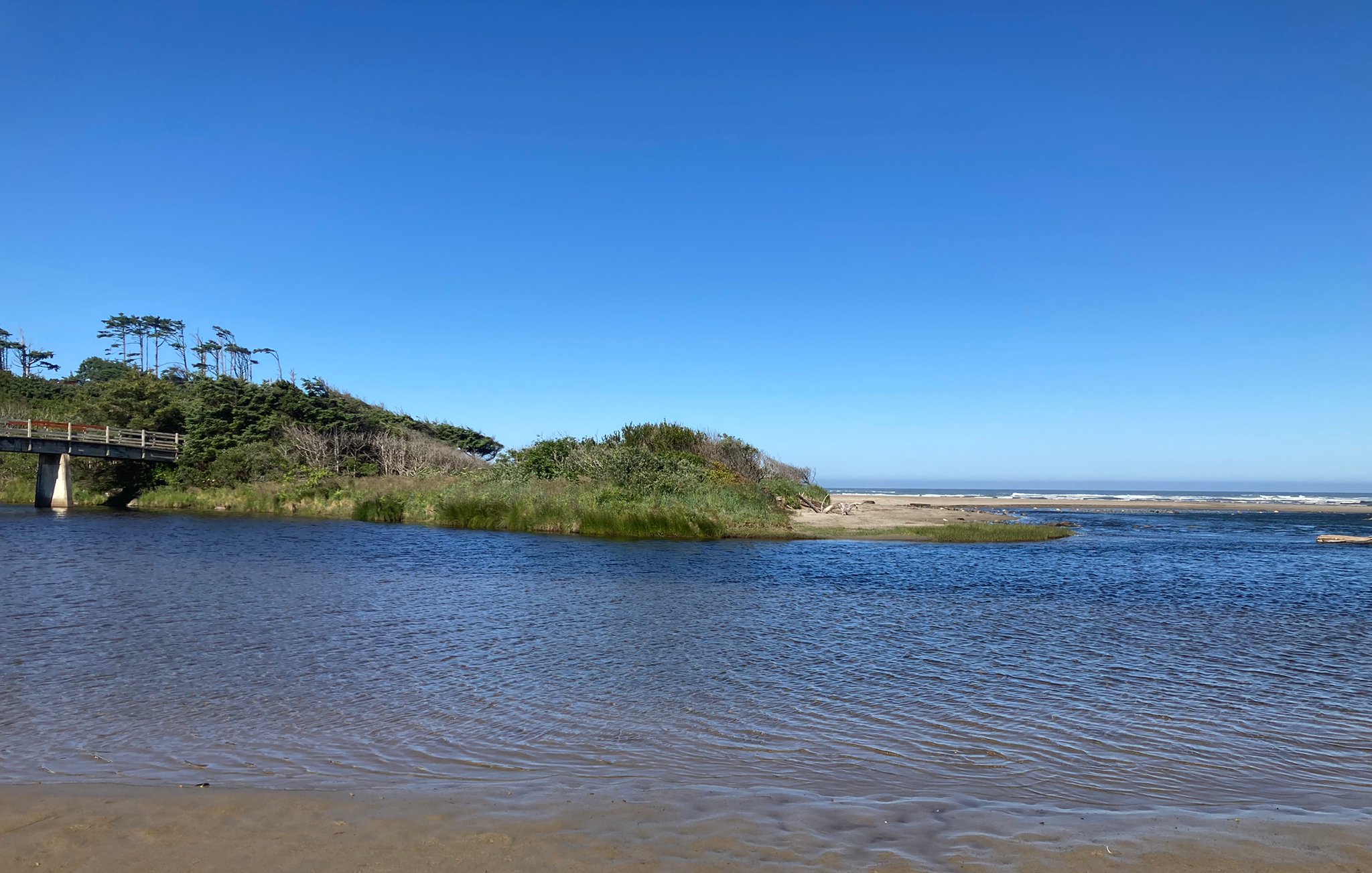
Corvallis-to-the-Sea Trail — Walk through wild Oregon

Bigfoot Trail — Exploring the remote Klamath Mountains
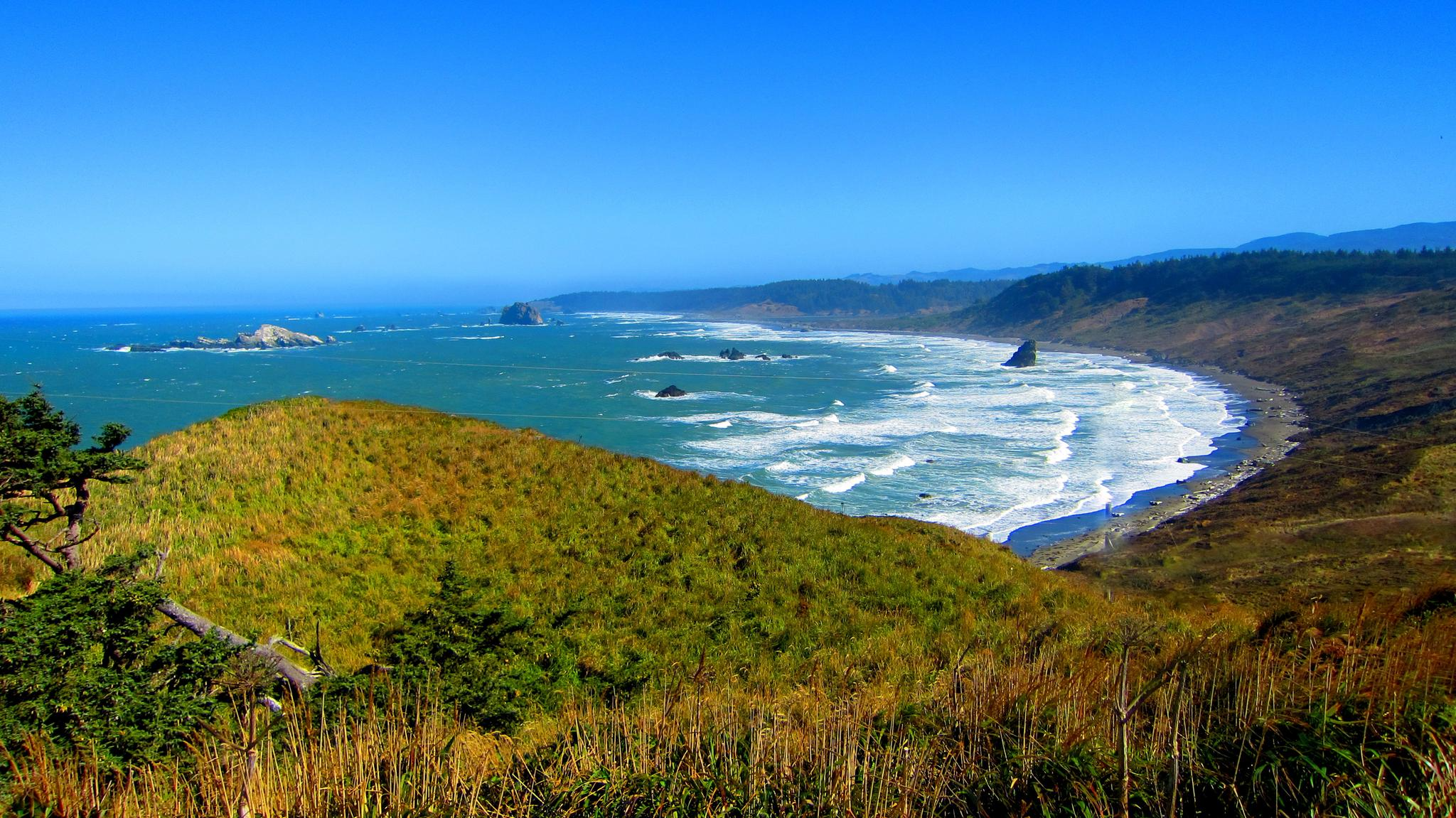
Oregon Coast Trail — An unforgettable walk along the Pacific's edge

Hiking treasures in the Bay Area

Bay Area Ridge Trail — Circumnavigating the San Francisco Bay

California Coastal Trail — Following the coastline from Mexico to Oregon
Other adventures in the Coast Range


Tips from the Community

The Serpentine Prairie Trail is a popular trail in Redwood Regional Park. At the trail head, there are picnic tables, parking, and great views.
0
0

If you're coming from North Point Isabel, when you reach the Richmond Bay & San Francisco Bay Trails Junction, you have two options. Take a right to hop onto the Richmond Bay Trail. If you are coming from the Richmond Bay Trail, you can turn to join the San Francisco Bay Trail. This will lead you to McLaughlin Eastshore State Park and further down to Berkeley.
1
0

This little park has picnic tables, BBQ pits, some benches and a big lawn that's perfect for looking out over Brooks Island and San Francisco Bay. It's also a popular parking area for kayakers and stand-up paddleboarders heading out into the water.
0
0

Excellent paved bike / multi-use trail along the water, part of the - eternally unfinished - San Francisco Bay Trail project
0
1

Enjoy miles of trails winding through diverse landscapes, from oak woodlands to grasslands, catering to all levels. Keep your eyes peeled for over 219 bird species, including bald eagles, owls, and songbirds.
0
0

Del Valle Lake was formed by Del Valle Dam, completed in 1968. The lake, about 5 miles long, has trails meandering along it, offering stunning views along the way. As the name suggests, the lake is tucked in a valley, with plenty of higher vantage points to enjoy the views.
0
0

Point Isabel Regional Shoreline Park is a multi-use park for for joggers, windsurfers, kayakers, photographers, picnickers, and dog walkers. Spanning 50 acres, this park was formerly a landfill but underwent a clay-capping operation in the 1980s, transforming it into a secure and environmentally safe public space.
1
1

The first section of East Shore Trail passes by Arroyo Del Valle River and then goes towards a steep ridge line by the southern Livermore Hills, delivering sweeping panoramic views of the parkland.
0
0
Frequently Asked Questions
How many dog-friendly hiking trails are available in the Coast Range?
The Coast Range offers a wide selection of dog-friendly hiking trails, with over 120 routes available on komoot. These range from easy strolls to more challenging treks, ensuring there's something for every dog and owner.
What types of terrain can I expect on dog-friendly hikes in the Coast Range?
You'll find a diverse range of terrain, from ancient redwood forests with towering trees to dramatic coastal bluffs and sandy beaches. Many trails also wind through lush rainforests, featuring rich green scenery, massive ferns, and abundant moss and lichens. Some routes may include accessible mountain ridges, offering varied elevation changes.
Are there easy dog-friendly trails suitable for small dogs or beginners?
Yes, the Coast Range has many easy dog-friendly trails. For example, the East Shore and Heron Bay Trail Loop and the Shady Slope, Short Ridge and Sand Hill Trail Loop are both rated as easy and offer pleasant walks. There are 59 easy routes in total, perfect for a relaxed outing with your canine companion.
What are some notable natural features or landmarks I can see with my dog?
The Coast Range is rich in natural beauty. You can explore majestic old-growth redwood forests, dramatic coastal bluffs, and even unique geological features. Highlights include the panoramic views from Mount Diablo Summit, or the serene waters of Lake Merritt. Always check specific park regulations regarding dogs at these locations.
Are there any dog-friendly circular routes in the Coast Range?
Yes, many dog-friendly trails in the Coast Range are designed as loops, offering varied scenery without retracing your steps. The East Shore and Heron Bay Trail Loop and the Harvey Bear, Willow Springs, and Townsprings Loop are excellent examples of circular routes suitable for you and your dog.
What is the best time of year to go hiking with my dog in the Coast Range?
Winter and spring are often ideal for hiking in the Coast Range. During these seasons, trails are typically less overgrown, and water levels in streams and waterfalls are higher, adding to the scenic beauty. The lush environment, with its massive ferns and abundant moss, is particularly vibrant at this time.
What do other hikers say about the dog-friendly trails in the Coast Range?
The dog-friendly trails in the Coast Range are highly regarded by the komoot community, with an average rating of 4.7 out of 5 stars from over 1,600 reviews. Hikers often praise the diverse landscapes, from coastal views to redwood forests, and appreciate the well-maintained paths suitable for their canine companions.
Are there any trails that offer a mix of coastal and forest scenery for dogs?
Absolutely. The Coast Range is unique for its blend of coastal and mountainous environments. Trails in areas like Ecola State Park and Oswald West State Park in Oregon, for instance, wind through lush rainforests and old-growth Sitka Spruce before opening up to dramatic ocean vistas, providing a fantastic variety for you and your dog.
Can I find trails with minimal elevation gain for my older dog?
Yes, there are several trails with relatively flat profiles, perfect for older dogs or those with limited mobility. The San Francisco Bay Trail and Channel Trail, for example, has very little elevation change, offering a gentle and enjoyable walk along the waterfront.
Are there any specific considerations for hiking with dogs in the Coast Range regarding wildlife?
The Coast Range is home to diverse wildlife. While enjoying the trails, it's important to keep your dog on a leash to protect both your pet and local wildlife. Be aware of potential encounters with animals and always pack out all waste to preserve the natural habitat.
Are there any challenging dog-friendly hikes for experienced hikers and their dogs?
For those seeking a more strenuous adventure, the Coast Range offers challenging trails with significant elevation gains. While not explicitly listed here, routes like the Dunn Trail are rated as moderate and provide a good workout. There are 11 difficult routes available for experienced hikers and their well-conditioned dogs.
Most popular routes in the Coast Range
Most popular attractions in the Coast Range

Get inspired with the komoot mobile app


Explore more
Browse the best Hikes in other regions.
