The best hikes from bus stations around Lucca
4.5
(11373)
52,711
hikers
165
hikes
Bus station hiking trails around Lucca offer access to a diverse landscape, ranging from the rugged peaks of the Apuan Alps and Pistoiese Apennines to the gentler slopes of Monte Pisano. The region is characterized by extensive chestnut and fir forests, river valleys like the Serchio, and historical features such as ancient aqueducts and medieval villages. This variety provides a wide spectrum of hiking experiences, from coastal paths to mountain ascents, all reachable via public transport.
Best bus station hiking…
Last updated: July 7, 2026
4.4
(63)
249
hikers
5.16km
01:23
70m
60m
Embark on the easy Lake Vagli - Ring tour, a scenic hike in Tuscany, Italy, that takes you around the region's largest hydroelectric basin. This route offers diverse landscapes, nestled…
4.8
(5)
11
hikers
17.7km
04:30
40m
40m
Embark on the Macchia Lucchese Botanical Trail for a moderate hike that spans 11.0 miles (17.7 km) with a gentle elevation gain of 145 feet (44 metres). This route offers…

Sign up for free
5.0
(5)
22
hikers
5.62km
01:38
140m
140m
Embark on a moderate hike along Garfagnana Trekking - Stage 5, a route that takes you through varied terrain, often following old mule tracks and well-marked paths. This 3.5-mile (5.6…
4.5
(4)
13
hikers
19.2km
06:40
960m
960m
Hike the difficult Monte Faeta, Campo di Croce, Spuntone di Sant'Allago e Monte Zano round trip for panoramic views and varied terrain.
4.0
(63)
181
hikers
6.36km
02:30
330m
330m
Moderate hike. Good fitness required. Mostly accessible paths. Sure-footedness required.
Get access to more routes and recommendations from other explorers.
Sign up for free
Already have an account?
Our route recommendations are based on thousands of hikes, rides, and runs completed by other people on komoot.
Start today with a free account
Your next adventure awaits.
Login or Signup
Popular around Lucca
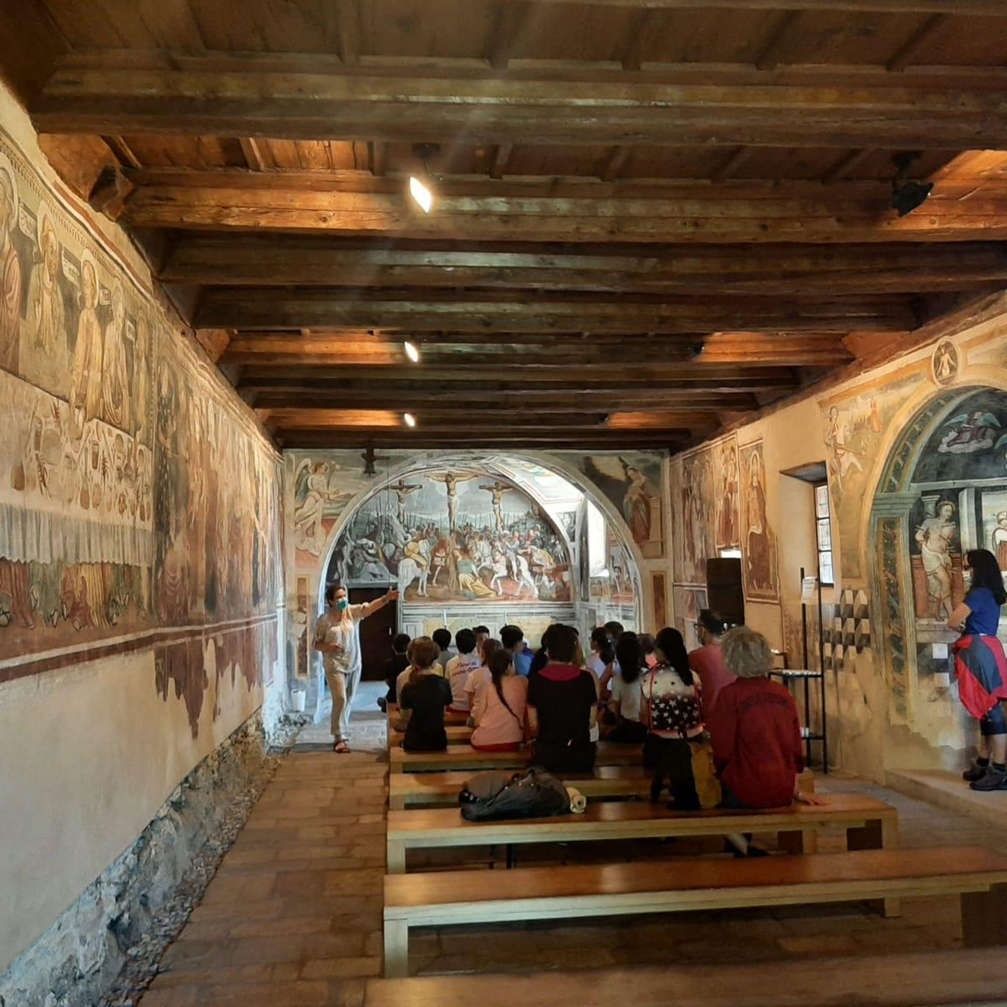
Hikes from bus stations around Parco naturale regionale delle Alpi Apuane

Hikes from bus stations around Lago di Massaciuccoli

Berceto to Abetone – Alta Via dei Parchi (part 1)
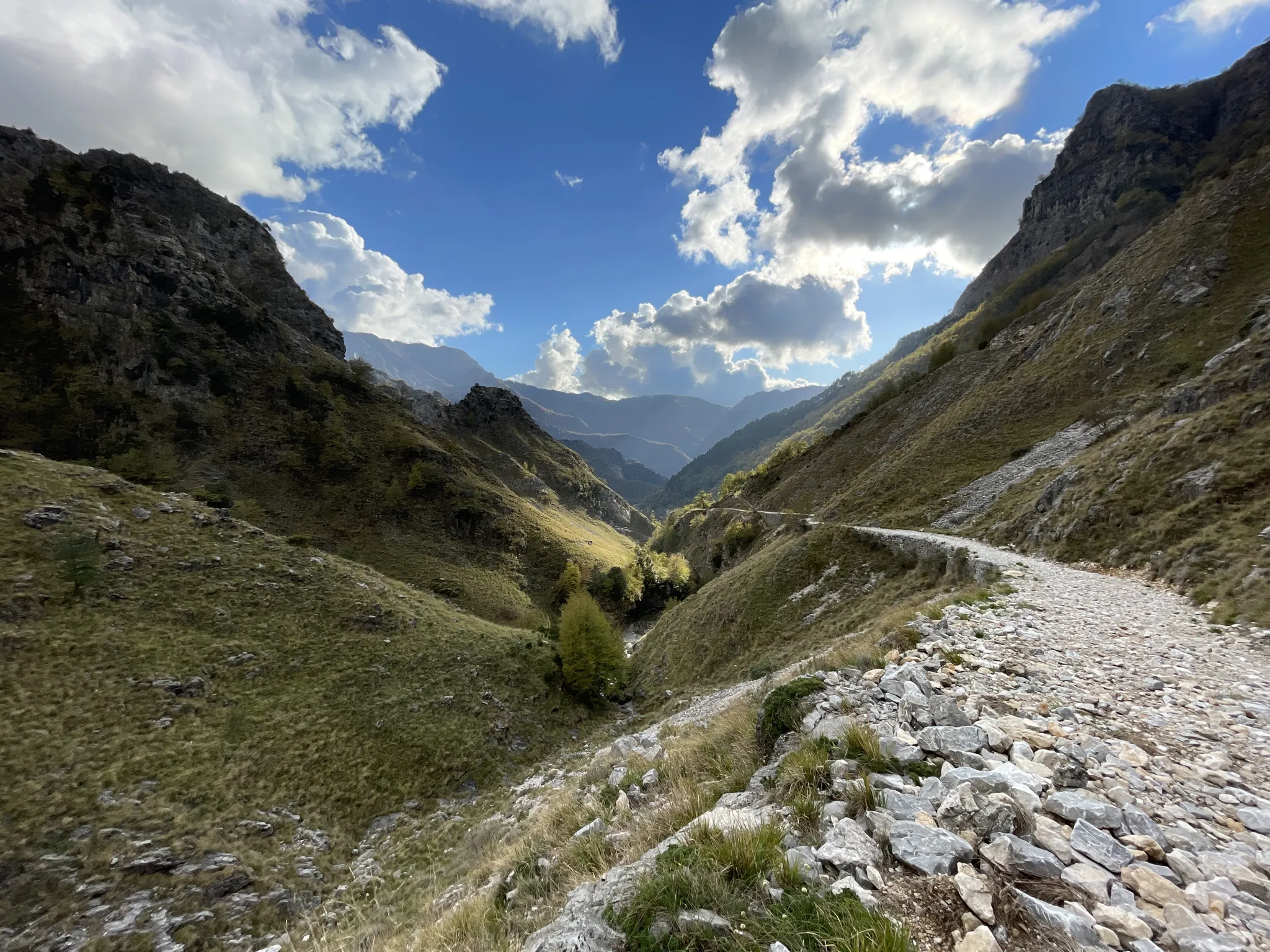
18th-century route from Modena to Massa – Via Vandelli
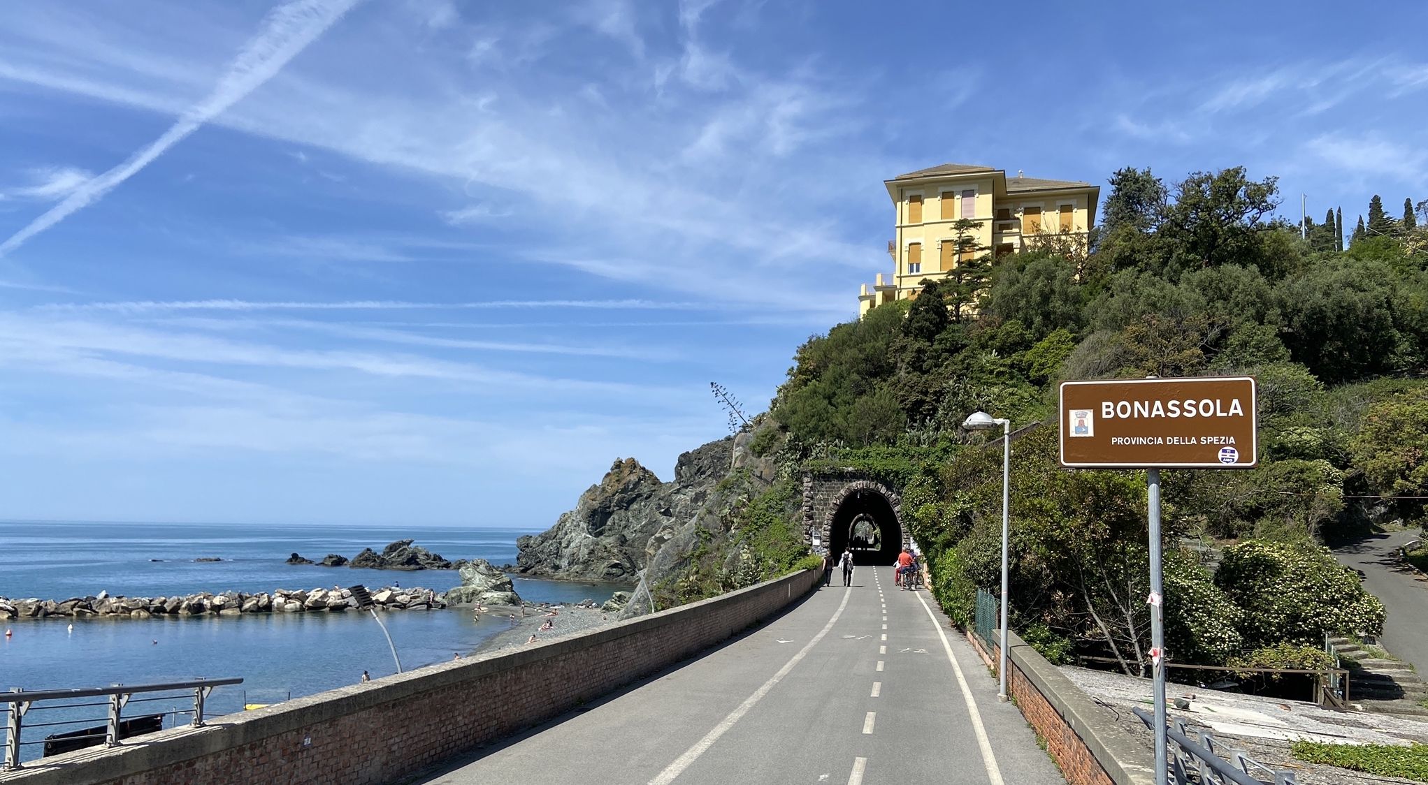
Pedalling to Portofino and the Cinque Terre — sea and mountains
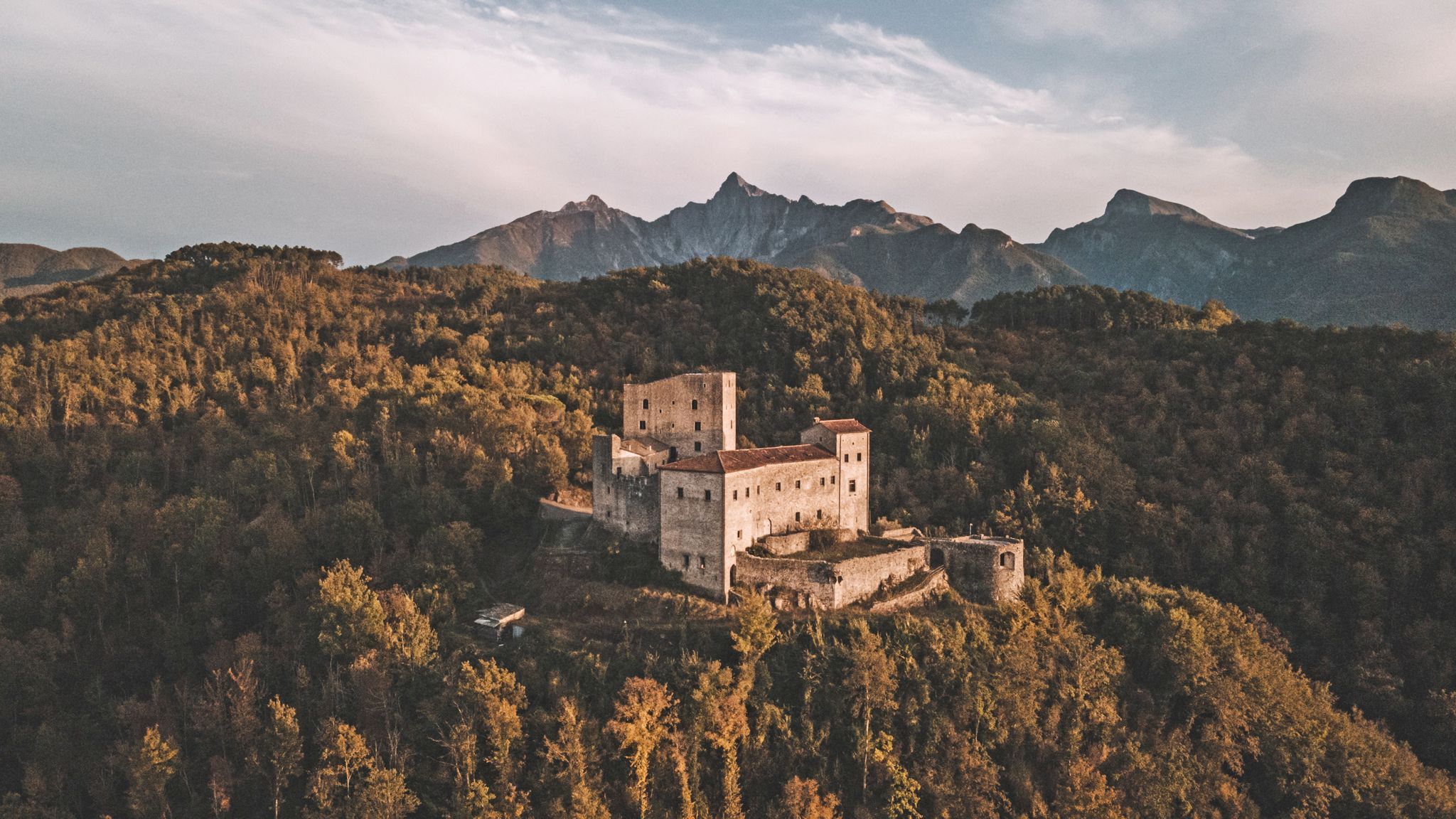
Through history between Lunigiana and Garfagnana – Via del Volto Santo by MTB
A cycling pilgrimage — history and nature on Italy’s Via Francigena
Other adventures around Lucca


Tips from the Community

The construction of the hydroelectric dam, designed by Count Eng. Ignazio Prinetti Castelletti, began in 1941, slowed down during wartime, and was completed in 1947 under the supervision of SELT Valdarno (now Enel). In the period 1951-53, the dam was raised by about 30 m, bringing the overall height to about 88-92 m. The ordinary arch and gravity dam, built in concrete, has a crest 150 m long and 5 m wide, while the width at foundation level is about 70 m. The crest is accessible to the public all year round. The lake, artificially formed in 1947 by damming the Edron stream, constitutes the dam's reservoir. Upon filling, the rising lake waters submerged some villages, the main one being Fabbriche di Careggine, a small village of blacksmiths from Brescia, founded in the 13th century, which re-emerges with every emptying of the basin. Since the Vajont disaster, the basin has not been filled beyond 80% of its maximum capacity. The basin holds about 35 million cubic meters of water and is exceptionally emptied in case maintenance intervention is necessary. This has happened four times: in 1958, 1974, 1983, and 1994. In the latter year, almost 1 million tourists from all over the world arrived in Vagli.
0
0

The Candalla waterfalls are famous for providing summer refreshment to many tourists and locals alike. Interesting trails leading to the Apuan Alps begin here.
0
0

Currently closed due to construction work
0
0
There is a rope next to the waterfall for those daring enough to climb up it.
0
1

A fantastic bridge with a fantastic view of the reservoir. There are also a few glass panels in the middle of the bridge, but due to the pattern, they're not quite as transparent.
1
0
There are some statues of current / Trump and past people here.
0
0

Beautiful, little water when we passed, but very suggestive.
0
0

From this path you can follow the course of the Lombricese stream, admiring its lively waters flowing between the rocks and enjoying the surrounding nature.
0
0
Frequently Asked Questions
How many bus-accessible hiking trails are there around Lucca?
There are over 160 hiking trails around Lucca that are accessible from bus stations, offering a wide range of options for all skill levels. You'll find everything from easy strolls to more challenging mountain expeditions.
Are there easy hiking trails accessible by bus from Lucca?
Yes, Lucca offers many easy trails accessible by bus. For example, the Lake Vagli - Ring tour is an easy, relatively flat walk. The region also features paths like those along the Serchio River or the Acquedotto Nottolini, which provide gentle walks into the countryside from the city.
Can I find circular hiking routes from bus stations in Lucca?
Absolutely. Many of the trails accessible by bus are designed as circular routes, allowing you to start and end your hike at the same point, often near a bus stop. This makes planning your return journey straightforward. The Lake Vagli - Ring tour is one such example.
What kind of landscapes can I expect on bus-accessible hikes near Lucca?
The landscapes around Lucca are incredibly diverse. You can expect to hike through the dramatic marble peaks of the Apuan Alps, the dense forests of the Garfagnana region, the panoramic hills of Monte Pisano with views of the sea, and tranquil river valleys like the Serchio. Some trails also lead through charming medieval villages and past historic aqueducts.
Are there any hikes with waterfalls accessible by bus?
Yes, the region offers trails that feature beautiful waterfalls. A notable example is the Candalla Waterfalls – Casoli — Village of Murals loop from Metato, which takes you past the scenic Candalla waterfalls and through picturesque villages.
Are the bus-accessible trails around Lucca suitable for families?
Many trails are family-friendly, especially the easier ones. Options like the Lucca City Walls Trail (though not directly from a bus station, it's easily accessible within the city) or paths around Lake Massaciuccoli offer low difficulty and engaging scenery. When planning, look for routes marked as 'easy' with minimal elevation gain.
Can I bring my dog on these bus-accessible hikes?
Generally, dogs are welcome on most hiking trails in the Lucca region, provided they are kept on a leash and you clean up after them. However, always check local regulations for specific parks or protected areas, such as the Apuan Alps Park or Orecchiella Natural Park, as rules may vary. Public transport policies regarding dogs should also be confirmed.
What are some interesting natural attractions or landmarks I can see on these trails?
You can discover a wealth of natural and historical attractions. Highlights include the dramatic Grotta del Vento cave, the unique Rifugio Campocatino and Stone Village, and the historic Calomini Hermitage. Many trails also pass through medieval villages or offer views of iconic structures like the Ponte della Maddalena (Devil's Bridge).
Are there any challenging bus-accessible hikes for experienced hikers?
Yes, for experienced hikers, the Apuan Alps to the north of Lucca offer more challenging routes with significant elevation gain and rugged terrain. Trails like the Monte Faeta, Sant'allago, and Monte Zano Loop provide a strenuous workout with rewarding panoramic views.
What is the best season for hiking from bus stations in Lucca?
Spring (April-May) and Autumn (September-October) are generally considered the best seasons for hiking in Lucca. The weather is mild, the landscapes are vibrant with wildflowers or autumn colors, and the trails are less crowded than in peak summer. Summer can be hot, especially in lower elevations, while winter offers opportunities for crisp, clear walks, particularly in the lower valleys.
Are there any trails that offer great viewpoints?
Many trails around Lucca boast spectacular viewpoints. Hikes in the Monte Pisano area, such as those leading to Monte Serra, offer panoramic vistas of Lucca, Pisa, and even the Mediterranean Sea on clear days. The Apuan Alps also provide breathtaking views that can stretch from the Apennine peaks to the coast.
How can I find out which bus to take to a specific trailhead?
To find specific bus routes and schedules, it's best to consult the local public transport provider's website, such as Autolinee Toscane, which operates services in the Lucca province. You can typically search by destination or bus stop name to plan your journey to the trailhead.
What do other hikers say about the bus-accessible trails around Lucca?
The hiking trails around Lucca are highly rated by the komoot community, with an average score of 4.48 stars. Reviewers often praise the diverse scenery, the opportunity to explore charming villages, and the accessibility of many routes via public transport, making it easy to enjoy the Tuscan outdoors without a car.
Most popular routes around Lucca
Most popular attractions around Lucca

Get inspired with the komoot mobile app


Didn’t find what you were looking for?
Check out more Hikes throughout Lucca below and find the perfect route in your destination.
Explore more
Browse the best Hikes in other regions.
