The best family-friendly hikes and walks around Östliche Chiemgauer Alpen
4.6
(5283)
24,072
hikers
112
hikes
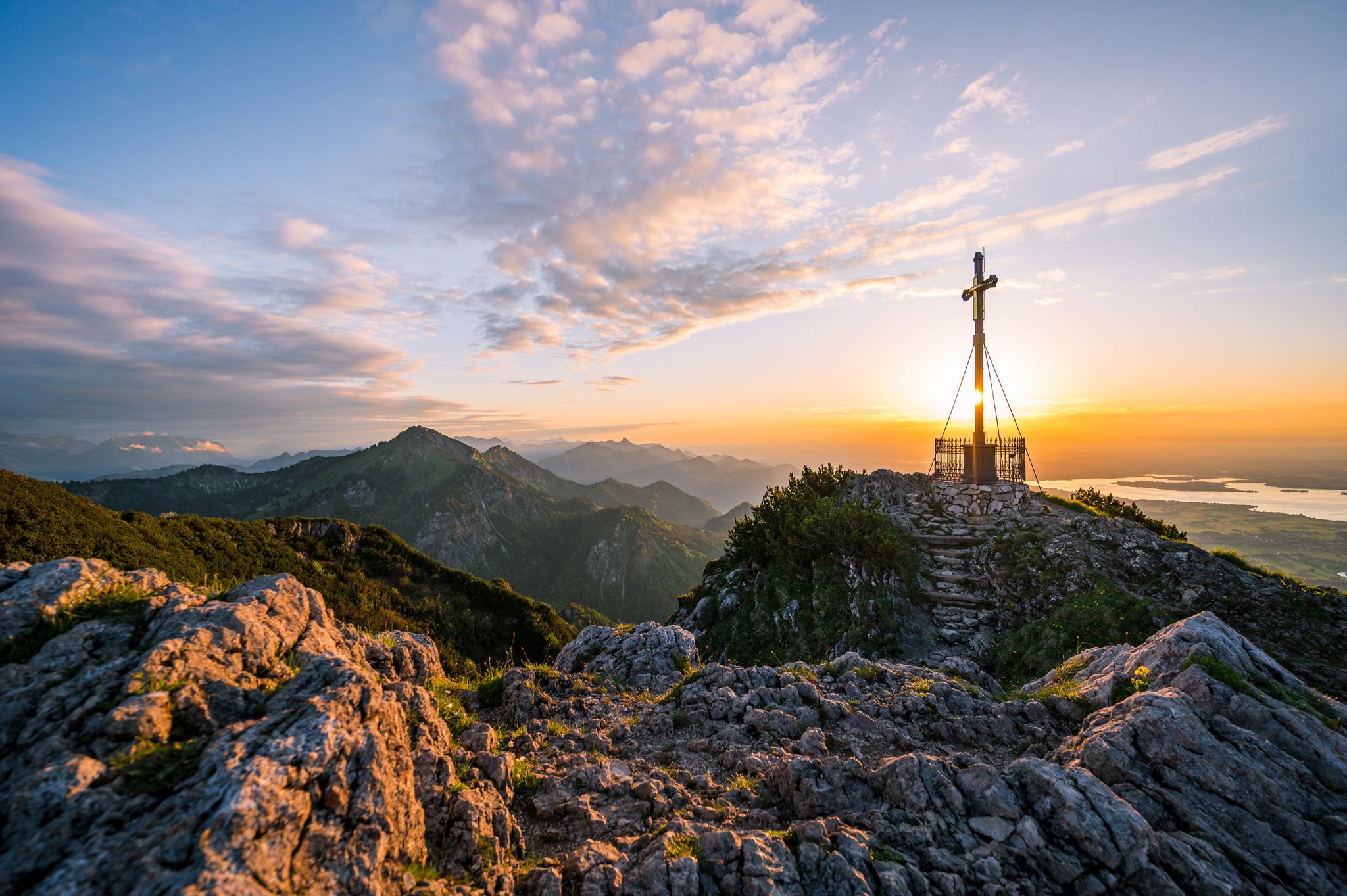
Family friendly hiking trails around Östliche Chiemgauer Alpen traverse a diverse landscape of intact mountain forests, pristine alpine pastures, and wild streams. The region features ridge-like mountain ranges, hilly areas, and serene valley areas, offering varied terrain for hikers. Hikers will encounter a mix of mountain mixed forests, pine forests, and high bogs, alongside picturesque lakes like Weitsee and Mittersee. This area, Bavaria's fourth-largest nature reserve, provides a rich biodiversity and numerous natural attractions.
Best family friendly hiking trails around…
Last updated: October 7, 2026
4.7
(98)
513
hikers
4.19km
01:54
290m
290m
Moderate hike. Great for any fitness level. Mostly accessible paths. Sure-footedness required.
4.7
(332)
1,229
hikers
13.5km
03:34
140m
140m
Moderate hike. Good fitness required. Easily-accessible paths. Suitable for all skill levels.

4.7
(287)
1,011
hikers
13.6km
03:36
140m
140m
Moderate hike. Good fitness required. Easily-accessible paths. Suitable for all skill levels.
4.8
(339)
1,867
hikers
Hard hike. Very good fitness required. Sure-footedness, sturdy shoes and alpine experience required.
4.7
(339)
1,274
hikers
8.16km
02:28
240m
240m
Moderate hike. Good fitness required. Mostly accessible paths. Sure-footedness required.
Get access to more routes and recommendations from other explorers.
Already have an account?
Our route recommendations are based on thousands of hikes, rides, and runs completed by other people on komoot.
Start today with a free account
Your next adventure awaits.
Popular around Östliche Chiemgauer Alpen



Tips from the Community

Not far from the Hörndlwand is the Brander Alm. At 1,135 meters, it serves everyone who fancies a cozy stop during the alpine season. In addition to regional specialties, Kaiserschmarrn, homemade cake, and various snacks, cheese and quark from our own production are on the menu.
1
0
At the summit of Kleiner Kienbergl, there is not much more space than for a narrow bench. The view, however, reaches all the further. Below you, the Inzell basin spreads out, framed by Sulzbergschneid and Teisenbergkopf – below is the town, the valley of the Rote Traun, and the picturesque mountain landscape of the Chiemgau.
1
0
One kilometer that packs a punch! Above Zwing, the Brennasteig (trail number 28) branches off from the forest path and then winds its way up the south slope of the Inzeller Kienberg. The path leads over stock and stone. Stairs made of roots lead up to the summit. You should pay attention to your footing, not just when it's wet. You will be rewarded with a fantastic view of the Inzell valley basin.
1
0
Geographically, the wooded mountain ridge of the Scharnkopf forms the western spur of the long Staufen ridge. Six hundred meters of altitude separate the valley from the summit of the Scharnkopf, which is just under 1,356 meters high. The striking formations Großer and Kleiner Turm are also clearly visible from here. A fantastic view!
1
0

The Kleine Kienbergl is the lower neighbor of the Große Kienbergl and offers a shorter, slightly easier tour. The path mostly runs over well-trodden forest and meadow trails, leading to the summit with a moderate incline. The view is less spectacular than from the Große Kienbergl, but the tour is well-suited as a shorter half-day hike. Difficulty: The ascent can be classified as easy to moderately difficult. Basic fitness and sure-footedness are recommended, but there are hardly any difficult or exposed passages. Families with experienced hiking children can manage the tour well. Weather conditions: The Kleine Kienbergl should preferably be climbed in stable and dry weather. After rainfall, the forest paths can become slippery, and in fog, orientation in the upper area is somewhat difficult due to partly sparse markings. Strong wind plays a lesser role here, as the summit area is less exposed.
0
0
The Kleine Kienbergl is the lower neighbor of the Große Kienbergl and offers a shorter, somewhat easier tour. The path mostly runs over well-trodden forest and meadow trails, which lead to the summit with a moderate incline. The view is less spectacular than from the Große Kienbergl, but the tour is well suited as a shorter half-day hike. Difficulty: The ascent is to be classified as easy to moderately difficult. Basic fitness and surefootedness are recommended, but there are hardly any difficult or exposed sections. Families with experienced hiking children can manage the tour well. Weather conditions: The Kleine Kienbergl should preferably be climbed in stable and dry weather. After rainfall, the forest paths can become slippery, and in fog, orientation in the upper area is somewhat difficult, as the markings are sometimes sparse. Strong wind plays a lesser role here, as the summit area is less exposed.
0
0

From here on you no longer walk in the forest
0
0

Frequently Asked Questions
How many family-friendly hiking trails are there in the Östliche Chiemgauer Alpen?
The Östliche Chiemgauer Alpen region offers a wide selection of family-friendly hiking trails. You'll find over 100 routes suitable for various ages and abilities, with a good mix of easy and moderate options to explore.
What makes the Östliche Chiemgauer Alpen a good destination for family hikes?
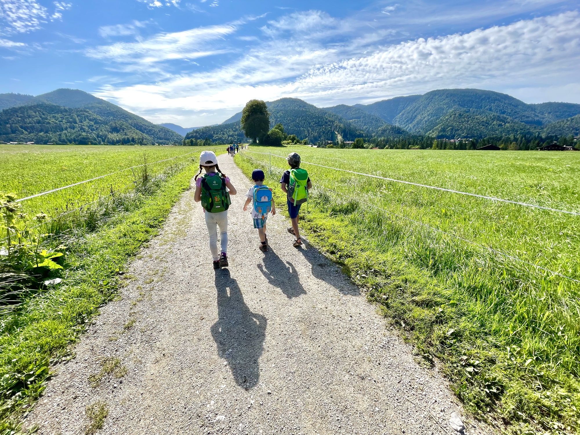
The region is characterized by its diverse and largely untouched natural environment, featuring intact mountain forests, pristine alpine pastures, and wild streams. Families will appreciate the mix of gentle valley areas and more adventurous paths, often leading to picturesque lakes or viewpoints. The varied scenery keeps children engaged, and many trails are well-maintained.
Are there circular routes suitable for families in the Östliche Chiemgauer Alpen?
Yes, there are several enjoyable circular routes perfect for families. For instance, the Mittersee – Weitsee loop from Große Zirmbergschanze offers a moderate hike around two beautiful lakes. Another option is the Dandl Hut – Röthelmoos Nature Reserve loop from Kratzelschneid, which takes you through scenic landscapes.
Can we find trails with water features like lakes or waterfalls?
Absolutely! The Östliche Chiemgauer Alpen are home to several stunning water features. You can explore trails that pass by beautiful lakes such as Weitsee, Falkensee, and Lake Förchensee. For an exciting waterfall experience, consider the Weißenbach Waterfalls – Weissbach Falls loop from Max-Aicher-Arena, which includes the notable Weissbach Falls.
What are some interesting landmarks or points of interest along family-friendly routes?
Beyond the natural beauty, you'll find several points of interest. The Röthelmoos Plateau is a registered geotop offering scenic views and managed alpine huts. Many routes also feature charming chapels or viewpoints. The region's diverse landscape means you might encounter anything from ancient forests to open alpine pastures.
Are the family-friendly trails generally suitable for strollers?
While many trails are well-maintained, the diverse terrain of the Östliche Chiemgauer Alpen means that not all paths are suitable for strollers. Some routes may involve uneven surfaces, roots, or steeper sections. It's best to check the specific route details and difficulty ratings on komoot for information on path conditions before heading out with a stroller.
Can we bring our dog on these family hikes?
Many trails in the Östliche Chiemgauer Alpen are dog-friendly, allowing you to enjoy the outdoors with your furry companion. However, it's always important to keep dogs on a leash, especially in nature reserve areas, near grazing animals, or in crowded spots. Please respect local regulations and ensure your dog is well-behaved around other hikers and wildlife.
What is the best time of year for family hiking in the Östliche Chiemgauer Alpen?
The warmer months, from late spring to early autumn (May to October), are generally ideal for family hiking. During this period, the weather is milder, trails are clear of snow, and alpine pastures are lush. Summer offers pleasant temperatures, while autumn brings beautiful foliage. Always check the weather forecast before your trip, as conditions can change quickly in the mountains.
What do other hikers enjoy most about family hikes in the Östliche Chiemgauer Alpen?
The area is highly rated by the komoot community, with an average score of 4.55 stars from over 4,500 ratings. Reviewers often praise the region's stunning natural beauty, the variety of landscapes, and the well-marked paths that make navigation easy for families. The tranquil lakes and engaging natural features are frequently highlighted as favorites.
Are there places to eat or rest along the family-friendly trails?
Yes, many family-friendly routes in the Östliche Chiemgauer Alpen pass by traditional alpine huts (Almen) or small restaurants where you can stop for a meal, a snack, or a refreshing drink. These huts often offer local specialties and provide a welcoming place to rest and enjoy the views. It's a good idea to check their opening times in advance, especially outside of peak season.
What are the parking options for family hikes in the region?
Many popular trailheads in the Östliche Chiemgauer Alpen have designated parking areas, often with a small fee. For example, routes like the Weitsee – Mittersee loop from Wald-Wild-Schongebiet Lembergschneid typically have nearby parking. It's advisable to arrive early, especially on weekends or during holidays, as parking spots can fill up quickly. Always look for official parking signs and avoid blocking access roads.
Most popular routes around Östliche Chiemgauer Alpen
Most popular attractions around Östliche Chiemgauer Alpen

Get inspired with the komoot mobile app


Explore more
Browse the best Hikes in other regions.
