The best hikes from bus stations around Lutterzand
4.4
(9661)
40,440
hikers
658
hikes
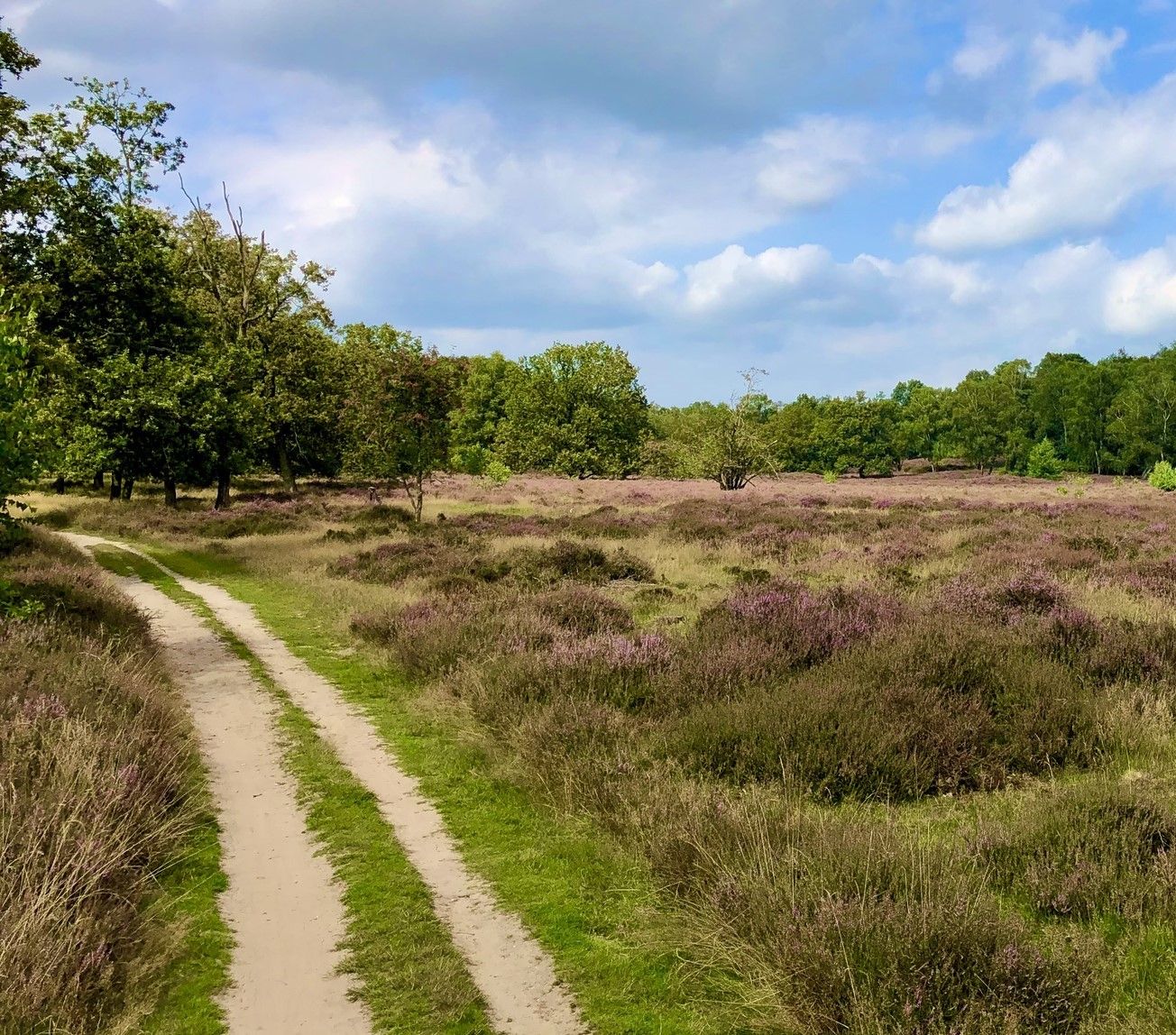
Bus station hiking trails around Lutterzand traverse a diverse landscape shaped by the meandering Dinkel river, extensive forests, and dynamic shifting sands. The region, a 750-hectare nature reserve, features varied topography including heathlands and juniper thickets. Geological formations along the Dinkel's steep banks offer insights into the area's natural history. This combination of riverine, forest, and sand ecosystems provides a range of environments for hiking.
Best bus station hiking trails around Lutterzand
- The most popular bus station hiking route is…
Last updated: July 12, 2026
4.8
(6)
19
hikers
Moderate hike. Good fitness required. Easily-accessible paths. Suitable for all skill levels.
4.9
(62)
247
hikers
9.33km
02:26
60m
60m
Moderate hike. Good fitness required. Easily-accessible paths. Suitable for all skill levels.

Sign up for free
4.4
(19)
121
hikers
7.87km
02:03
50m
50m
Moderate hike. Good fitness required. Easily-accessible paths. Suitable for all skill levels.
2.5
(6)
28
hikers
Moderate hike. Good fitness required. Easily-accessible paths. Suitable for all skill levels.
4.8
(4)
35
hikers
5.53km
01:26
30m
30m
Easy hike. Great for any fitness level. Easily-accessible paths. Suitable for all skill levels.
Get access to more routes and recommendations from other explorers.
Sign up for free
Already have an account?
Our route recommendations are based on thousands of hikes, rides, and runs completed by other people on komoot.
Start today with a free account
Your next adventure awaits.
Login or Signup
Popular around Lutterzand
Other adventures around Lutterzand

Tips from the Community


Beautiful old farmhouse with interesting, but rather unattractive, decorations in the garden.
0
0


Romantic paths lead through the Dutch nature reserve Lutterzand.
2
0
The center of de Lutte is the church.
0
1

Wonderful things are appearing here….to happen!!!
0
0

The Mariakapel Middelkaamp is located on the Middelkampweg in De Lutte and was built in 2003. The chapel is built of Bentheimer sandstone and red brick, with oak roof trusses and a roof covered with old Dutch tiles. Inside is a stone statue of Mary with the baby Jesus in her arms, colored in brown-green tones. The chapel was consecrated on June 8, 2003 and has since been a proud possession of the residents of the Paasberg area.
0
0
Frequently Asked Questions
How many bus-accessible hiking trails are available in Lutterzand?
There are over 600 hiking trails in Lutterzand that are accessible from bus stations. This includes a wide range of options, from easy strolls to more challenging routes, ensuring there's something for every hiker.
What kind of terrain can I expect on bus station hikes in Lutterzand?
Lutterzand offers a highly varied landscape. You can expect trails that wind through diverse forests, across dynamic shifting sands and heathlands, and along the meandering Dinkel river. The terrain is generally easy for walking, with both wide paths and narrower trails.
Are there easy and short hiking options accessible by bus?
Yes, Lutterzand has many easy and short trails reachable by bus. For example, the Poort Bulten information board – Commemorative Stone loop from Losser is an easy 5.1 km route, perfect for a quick outing. Another accessible option is the Old Teahouse – Starting Point De Lutte loop from Losser, which is an easy 7.2 km.
What natural features and landmarks can I see along the bus-accessible trails?
The trails often lead you through the heart of the Lutterzand Nature Reserve, where you can experience the unique Dinkel river with its steep, eroded banks. You might also encounter the Dinkel River Beach in Lutterzand, extensive pine forests, and juniper thickets. The 'Greune Stet' (Green Tail) offers scenic views over the Dinkel's 180-degree bend.
Are there more challenging bus-accessible hikes in Lutterzand?
For those seeking a longer and more challenging experience, the Walking Trail Along the Heath – Along the Dinkel River loop from Stockholmer Straße is a difficult 20.6 km route that allows you to explore more of the region's diverse landscapes.
Is Lutterzand suitable for family-friendly hikes from bus stops?
Absolutely. Many of the trails are easy and offer varied scenery, making them enjoyable for families. The diverse landscapes, from forests to shifting sands, provide an engaging environment for children to explore. The overall easy difficulty level of many routes is ideal for family outings.
Can I bring my dog on the bus station hiking trails in Lutterzand?
Yes, dogs are permitted on a leash on the designated paths throughout Lutterzand. It's a great area to enjoy with your canine companion, offering plenty of varied terrain for them to explore alongside you.
What is the best time of year to hike in Lutterzand?
While Lutterzand is suitable for hiking all year round, spring is particularly noted as an excellent time to visit. However, the diverse landscapes and wildlife observation opportunities make it enjoyable in any season.
Are there any circular routes accessible from bus stations?
Yes, many of the bus-accessible routes in Lutterzand are circular, allowing you to start and end your hike at the same point. For instance, the Lutterzand Nature Reserve – View of the Dinkel River loop from Stockholmer Straße is a moderate 13.5 km circular trail.
Are there places to eat or drink near the bus-accessible trails?
Yes, routes often start near Paviljoen 't Lutterzand, which offers options for lunch, dinner, or drinks after your hike. Additionally, the Lutte Hut is another cafe highlight in the area where you can refresh.
What do other hikers enjoy most about Lutterzand?
The Lutterzand area is highly rated by the komoot community, with an average score of 4.4 stars from over 8,800 ratings. Reviewers often praise the region's diverse and dynamic landscapes, the unique meandering Dinkel river, and the peaceful atmosphere of its forests and heathlands.
Are permits required for hiking in Lutterzand?
No, permits are generally not required for hiking on the designated paths in Lutterzand. The area is freely accessible for hikers and cyclists.
Most popular routes around Lutterzand
Most popular attractions around Lutterzand

Get inspired with the komoot mobile app


Explore more
Browse the best Hikes in other regions.
