The 13 Most Amazing Peaks around Landschaftspark Binntal
Best mountain peaks around Landschaftspark Binntal is a mountainous region located in the Swiss canton of Valais. This area is characterized by its alpine scenery and notable mineral deposits. The park contains 78 named peaks, with many reaching elevations above 3,000 meters. These peaks and passes offer diverse experiences for outdoor enthusiasts.
Best mountain peaks around Landschaftspark Binntal
- The most popular mountain peaks is Breithorn Summit, a summit that offers a magnificent panorama of the Valais mountains and glaciers.…
Last updated: October 10, 2026
Breithorn Summit
Highlight • Summit
Translated by Google •
Tip by

Old Bridge in Binn
Highlight • Bridge
Translated by Google •
Tip by
Sign up now to discover places like this
Get recommendations on the best single tracks, peaks, & plenty of other exciting outdoor places.
Stoneman stamp station Breithorn
Highlight • Summit
Translated by Google •
Tip by
Saflisch Pass
Highlight • Mountain Pass
Translated by Google •
Tip by

Arbola Pass
Highlight • Mountain Pass
Translated by Google •
Tip by

Sign up for free to discover even more peaks around Landschaftspark Binntal.
Already have an account?
Start today with a free account
Your next adventure awaits.
Popular around Landschaftspark Binntal

Alpine Passes Trail – hiking 700km across Switzerland

Alpine Passes Trail in Switzerland – 34 stages of pure mountain fun
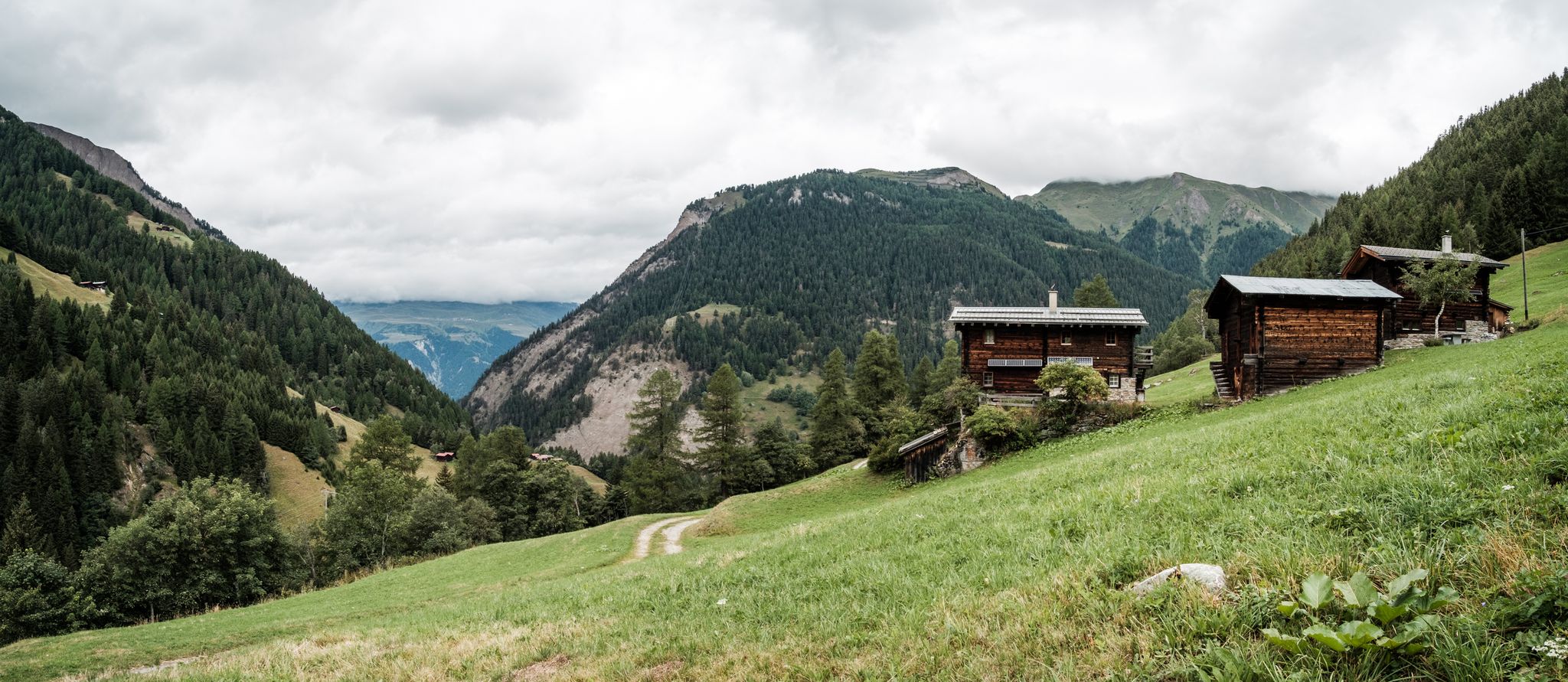
On mule tracks from Binntal to Italy
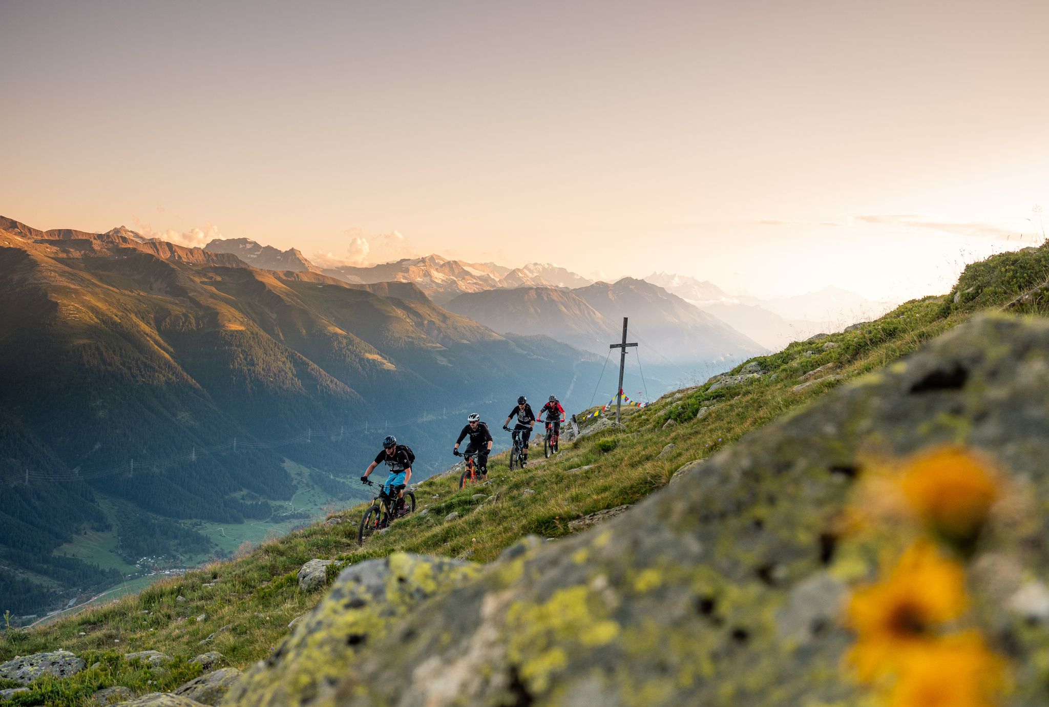
Rugged trails, spectacular views: trail adventures in the high valley of Goms
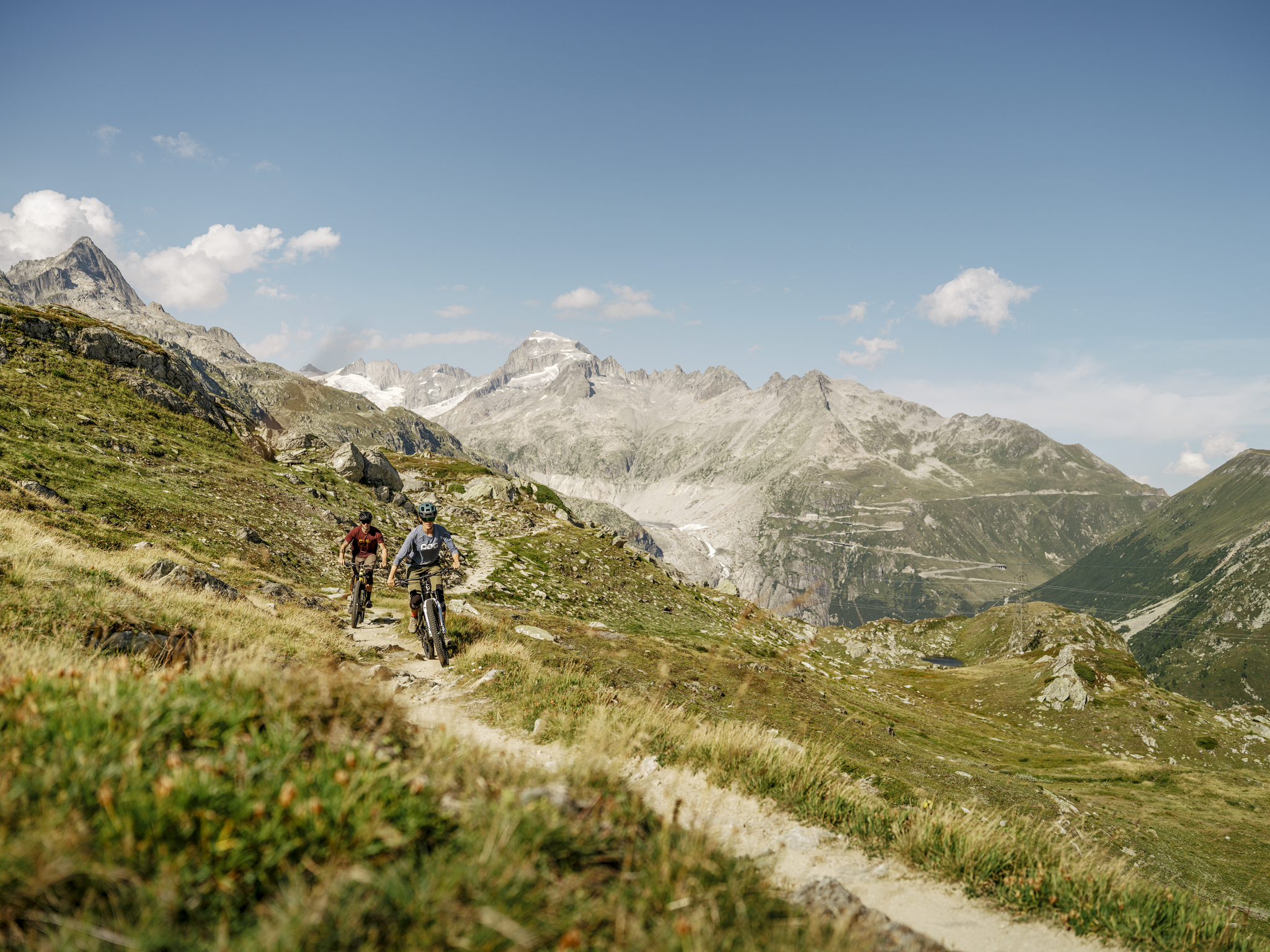
MTB adventures in the Upper Valais – Valais Panorama Bike Switzerland
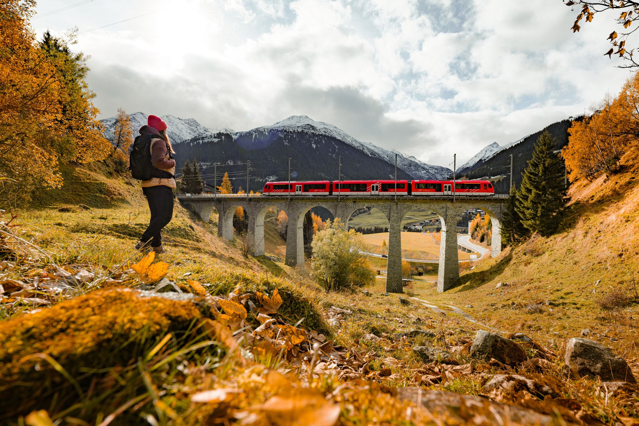
Fantastic hiking through the Alps with the Matterhorn Gotthard Railway
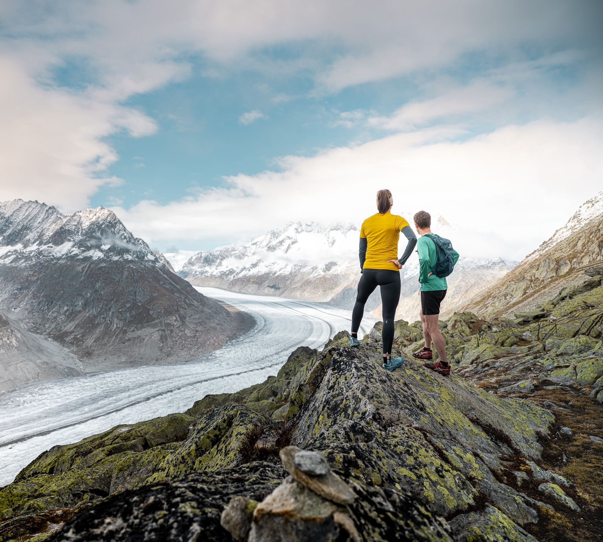
Thrills and adventure on the Stoneman Glaciara
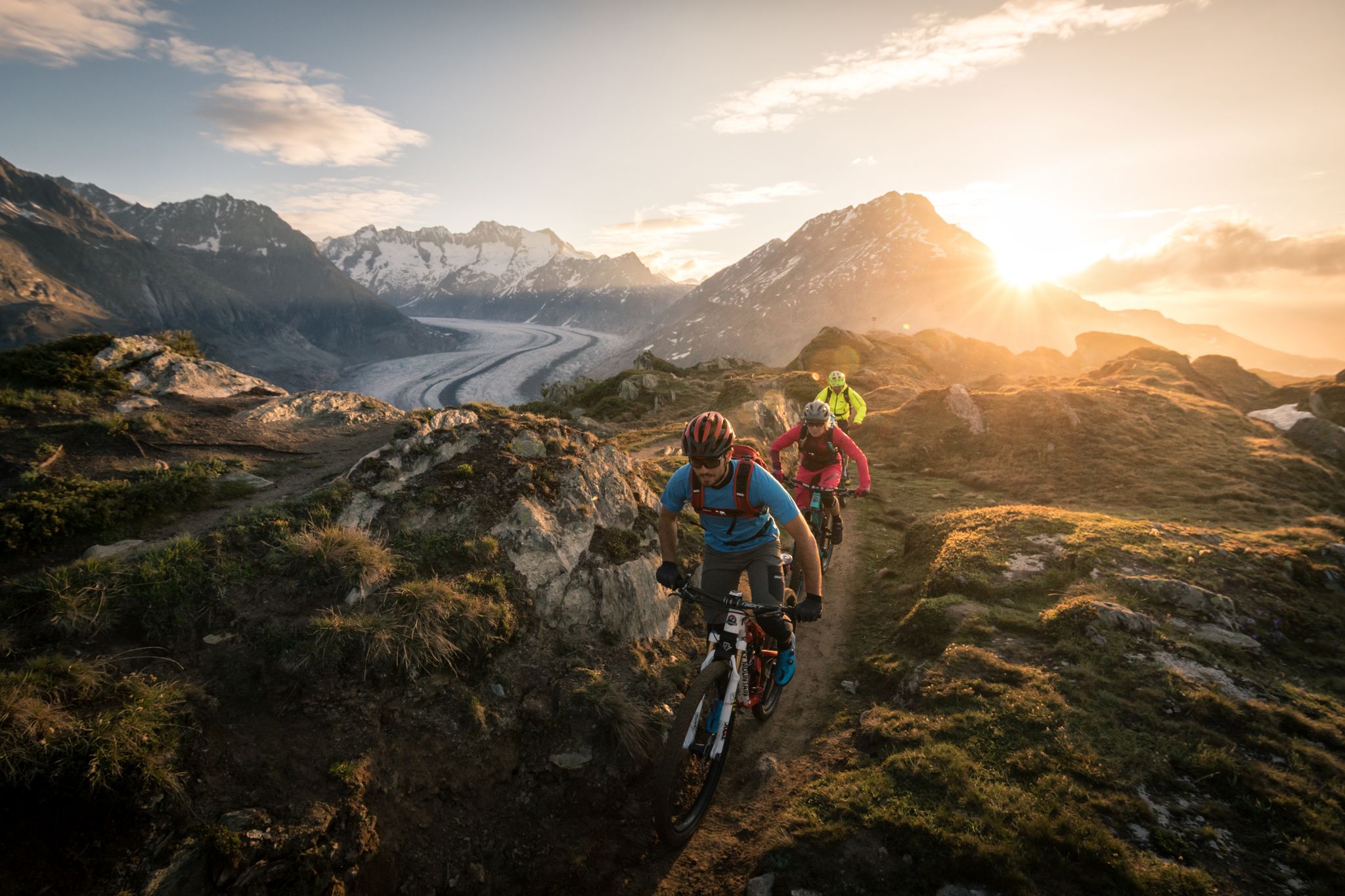
Magic from Ice and Stone – The Stoneman Glaciara
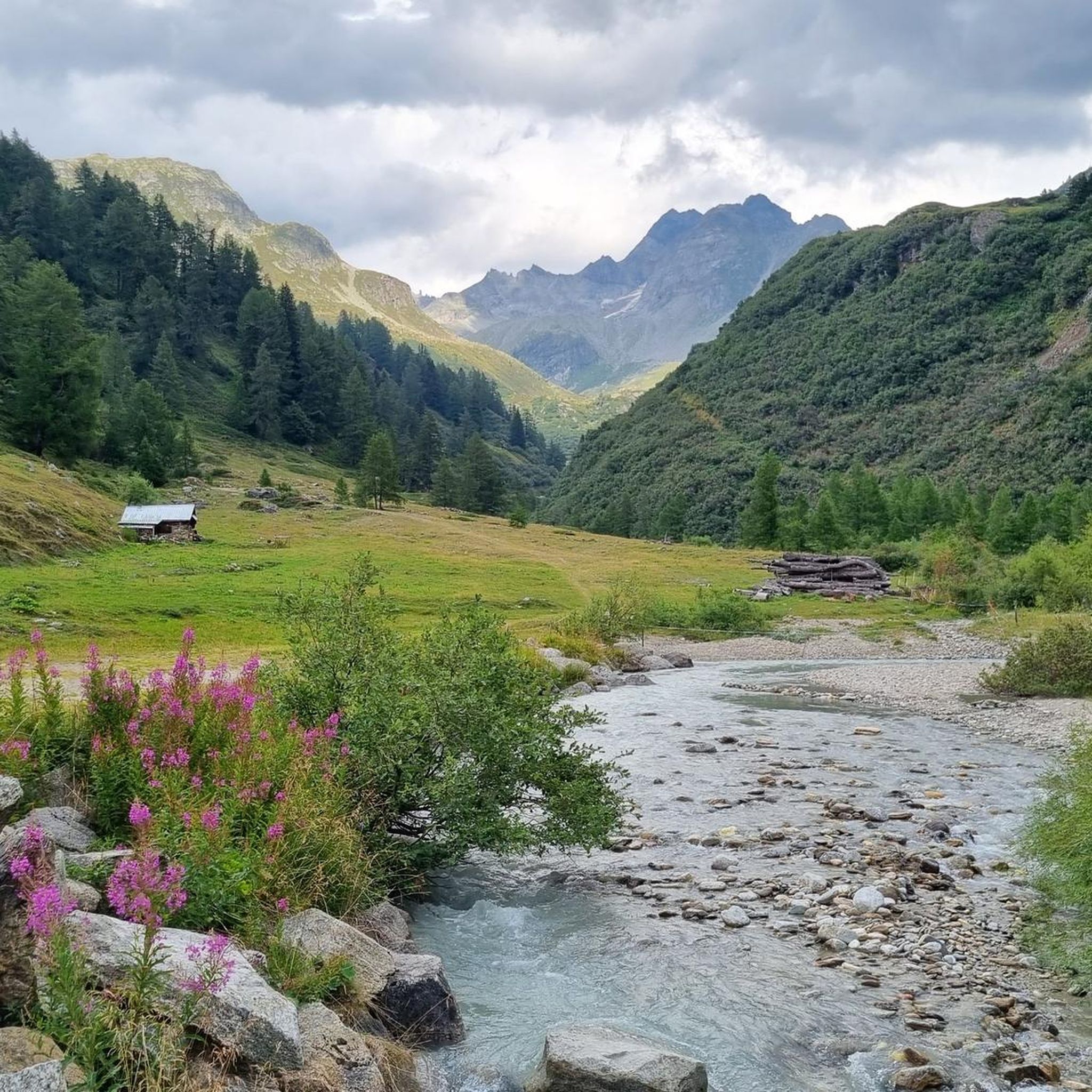
Hiking around Landschaftspark Binntal
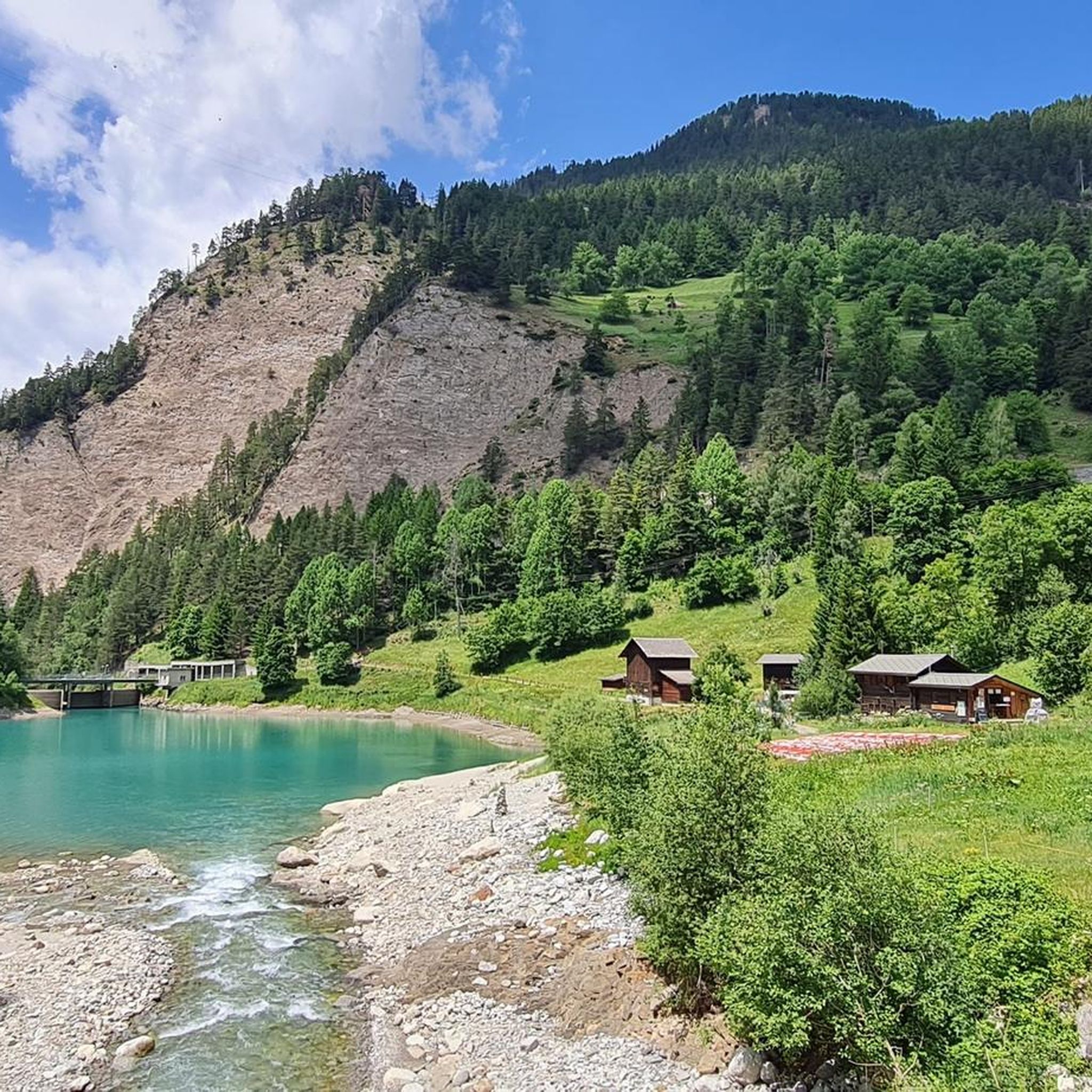
MTB Trails around Landschaftspark Binntal
Other adventures around Landschaftspark Binntal


Tips from the Community


The Saflisch Pass, at over 2,500 meters high, can be reached by bike, but it's a real challenge. From Binn, you have to climb over 1,100 meters in altitude over a distance of about 14 kilometers. The higher you go, the wilder and quieter it becomes. A fantastic crossing that demands a lot but is equally rewarding!
1
0

A beautiful climb from Grengiols to the Breithorn. A good, paved forest road. Also easily doable on gravel. A steady gradient, and in summer, plenty of shade in the forest.
0
0

I did the gravel descent from the Breithorn to Visp with 36 mm tires. It was a bit limited on the upper section; it wasn't very comfortable. From the middle of the descent, the road quality improves. It's still totally doable, but next time I'll go for 40 mm tires. We did the gravel climb from Binn via the Saftlital. Honestly magnificent, a bit steep, but nothing totally insurmountable! We stayed at the Auberge Heiligkreuz, which is highly recommended for a two-day tour to enjoy the region.
0
0

If you're heading up here, it's a good idea to refill your water supply in Grengiols. Currently, there's only one water point after that, up to the stamping point.
0
0


You need stamina to get up here with the bio-bike.
0
0

Very beautiful old bridge over the Binna. Right next to the small chapel "St. Antonius", next to the bridge is an ebike charging station. Next to it is the restaurant at the bridge, where you can take a nice break!!
1
0
Frequently Asked Questions
What are some of the most notable mountain peaks and passes to explore in Landschaftspark Binntal?
The region boasts many impressive peaks and passes. Among the most popular are Breithorn Summit, known for its magnificent panorama and as a stamping point for the Stoneman trail, and Saflisch Pass, which offers a demanding yet rewarding journey, especially for cyclists. Another significant pass is Arbola Pass, rich in history as an ancient crossing.
Which is the highest peak within the Binntal Nature Park?
The highest peak within the Binntal Nature Park is the Helsenhorn, reaching an impressive elevation of 3,273 meters (10,735 ft). It stands as a significant landmark for those seeking to conquer the park's highest point.
Which peaks offer the best panoramic views in Landschaftspark Binntal?
For breathtaking vistas, Breithorn Summit provides a magnificent panorama of the Valais mountains and glaciers. The Eggerhorn, often called the 'home mountain' of the Binntal valley, also offers an exceptional vantage point with splendid panoramic views of the surrounding landscapes. The Saflisch Pass also offers very promising views extending from the Ofenhorn to the Mischabel group.
Are there any historically significant passes or sites in the region?
Yes, the Arbola Pass is particularly notable for its rich history, serving as an ancient crossing from Piedmont (Italy) to Valais (Switzerland) since Roman and Celtic times. On the Italian side, a well-preserved mule track with steps can still be found.
What kind of hiking trails can I find near the mountain peaks of Landschaftspark Binntal?
The region offers a variety of hiking experiences, from challenging ascents to more moderate routes. You can find trails like the 'Fäld – Hiking trail along the Binna loop from Binn' or the 'Landschaftspark Binntal loop from Binn'. For more options, explore the Running Trails around Landschaftspark Binntal guide or the Waterfall hikes around Landschaftspark Binntal guide.
Are there good cycling opportunities around the mountain peaks?
Absolutely. The Saflisch Pass, at over 2,500 meters, is a demanding yet highly gratifying journey for cyclists, involving a significant elevation gain from Binn. Mountain biking enthusiasts also particularly enjoy the descent from Breithorn Summit into the valley towards Heiligkreuz. You can find more routes in the Cycling around Landschaftspark Binntal guide.
What makes the Landschaftspark Binntal region unique?
Landschaftspark Binntal is renowned for its stunning alpine scenery and its exceptionally abundant mineral deposits, making it a unique geological area. The park is home to 78 named peaks, many exceeding 3,000 meters, offering a blend of challenging ascents, historical significance, and sweeping panoramic views within a distinct natural environment.
What do visitors enjoy most about the mountain peaks in Landschaftspark Binntal?
Visitors frequently praise the magnificent panoramic views, especially from peaks like Breithorn Summit, which offers stunning vistas over the Valais mountains and glaciers. The challenging yet rewarding nature of ascents, like to Saflisch Pass, and the wild, tranquil atmosphere at higher altitudes are also highly appreciated.
Are there any other high peaks in the Binntal valley worth noting?
Beyond the Helsenhorn, other significant high peaks in the Binntal valley that typically exceed 3,000 meters include the Turbhorn and the Ofenhorn. Monte Cervandone is also recognized as the most prominent peak in the Binntal Nature Park, with a prominence of 700 meters.
Is there a specific point for the Stoneman trail in the area?
Yes, a stamping point for the Stoneman trail can be found on the Breithorn Summit at 2451m. It's a hard-fought destination that rewards with unbelievably great views.
What kind of terrain can I expect when ascending passes like Saflisch Pass?
When ascending passes like Saflisch Pass, especially from Binn, you can expect a significant elevation gain over approximately 14 kilometers. The terrain becomes increasingly wild and tranquil as you gain altitude, offering a challenging yet rewarding experience.
Are there any facilities or huts near the passes?
Yes, for instance, near the Arbola Pass on the Swiss side, the Binntalhütte (SAC) is conveniently located just below the pass, offering a place to stop or rest.
Most popular routes around Landschaftspark Binntal
Most popular attractions around Landschaftspark Binntal

Get inspired with the komoot mobile app


Explore more
See even more amazing summits around Landschaftspark Binntal with these guides:
