The best walks and hikes around Lüterkofen-Ichertswil
4.6
(1764)
11,748
hikers
571
hikes
Hiking around Lüterkofen-Ichertswil offers exploration of the picturesque Bucheggberg region, characterized by rolling hills, expansive green meadows, and dense forests. The area is situated within the tranquil Biberenbach valley, which widens into an alluvial plain near Lüterkofen. South of the valley, the forested Oberholz ridge rises, contributing to the varied terrain. This landscape provides a network of well-maintained trails suitable for diverse outdoor pursuits.
Best hiking trails around Lüterkofen-Ichertswil
- The most popular hiking route is Emmesteg Kräiligen loop from Wiler…
Last updated: July 10, 2026
4.6
(8)
75
hikers
4.77km
01:13
10m
10m
Easy hike. Great for any fitness level. Easily-accessible paths. Suitable for all skill levels.
5.0
(7)
29
hikers
11.2km
03:09
230m
230m
Moderate hike. Good fitness required. Easily-accessible paths. Suitable for all skill levels.

Sign up for free
4.9
(9)
44
hikers
15.8km
04:23
290m
290m
Moderate hike. Good fitness required. Easily-accessible paths. Suitable for all skill levels.
5.0
(1)
5
hikers
9.73km
02:40
150m
150m
Moderate hike. Good fitness required. Easily-accessible paths. Suitable for all skill levels.
4.3
(3)
8
hikers
6.76km
01:51
110m
110m
Easy hike. Great for any fitness level. Easily-accessible paths. Suitable for all skill levels.
Get access to more routes and recommendations from other explorers.
Sign up for free
Already have an account?
Our route recommendations are based on thousands of hikes, rides, and runs completed by other people on komoot.
Start today with a free account
Your next adventure awaits.
Login or Signup
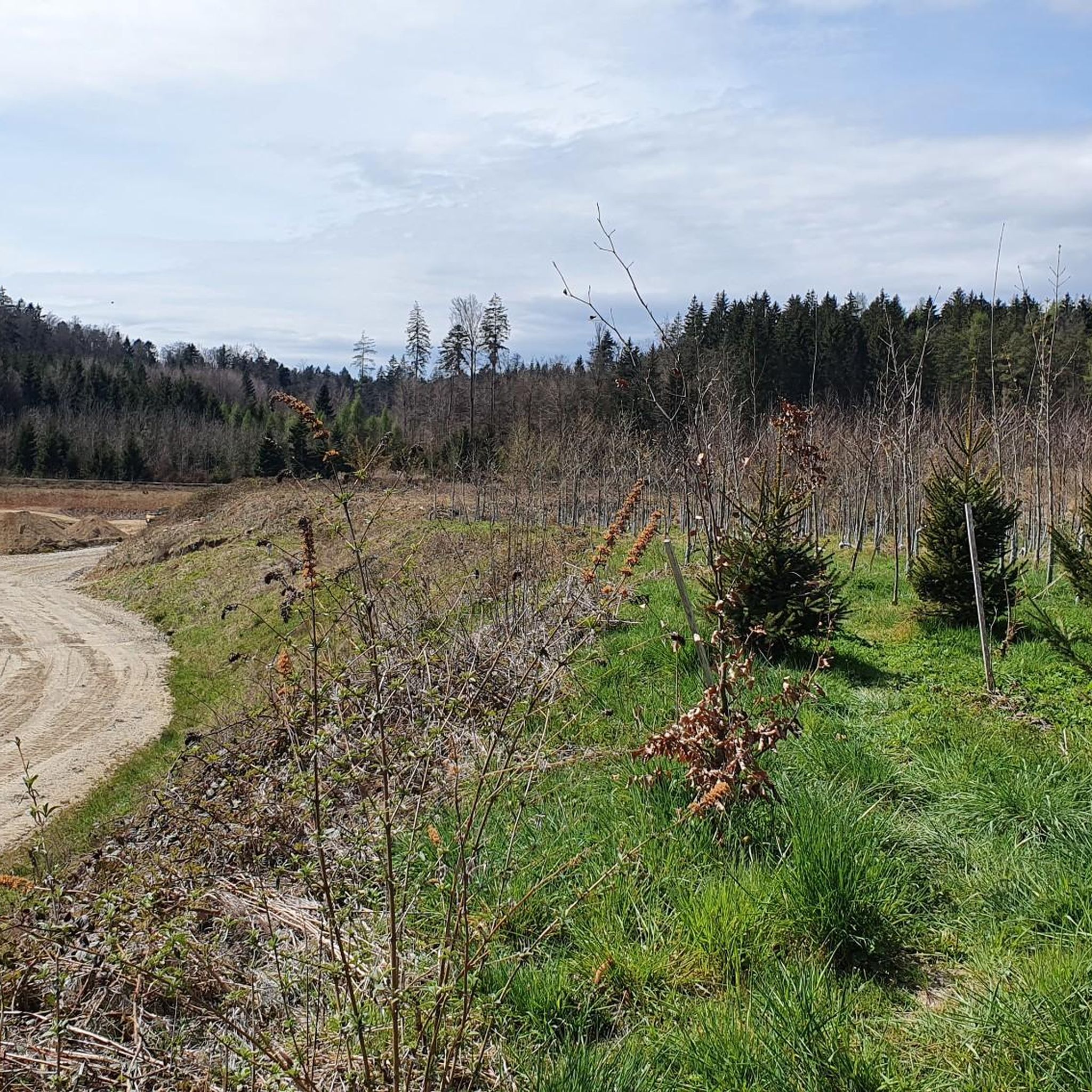
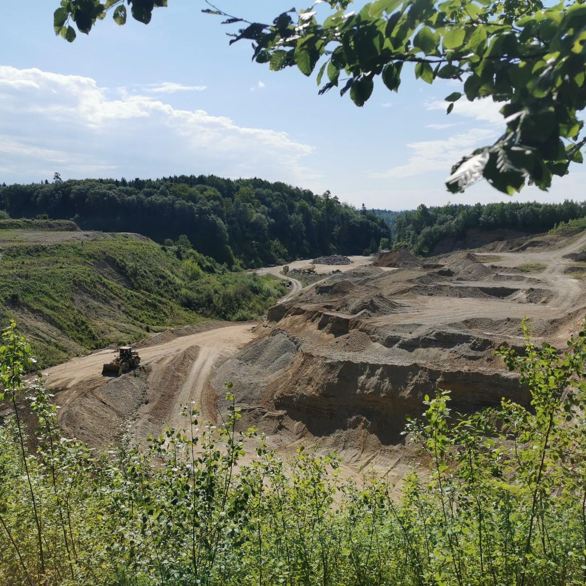
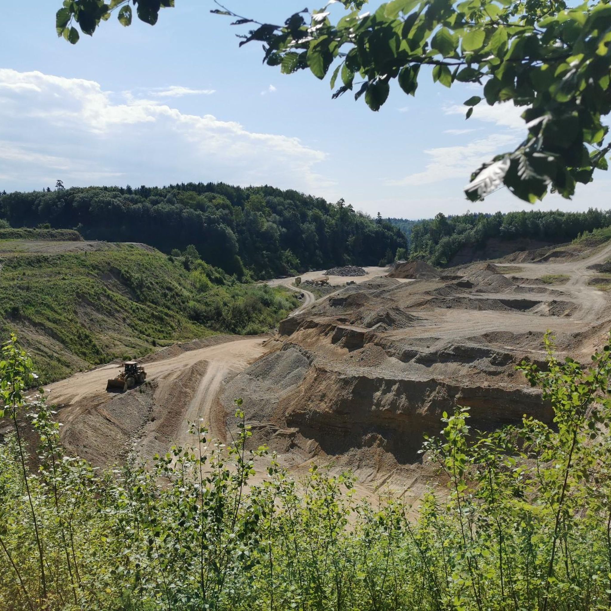

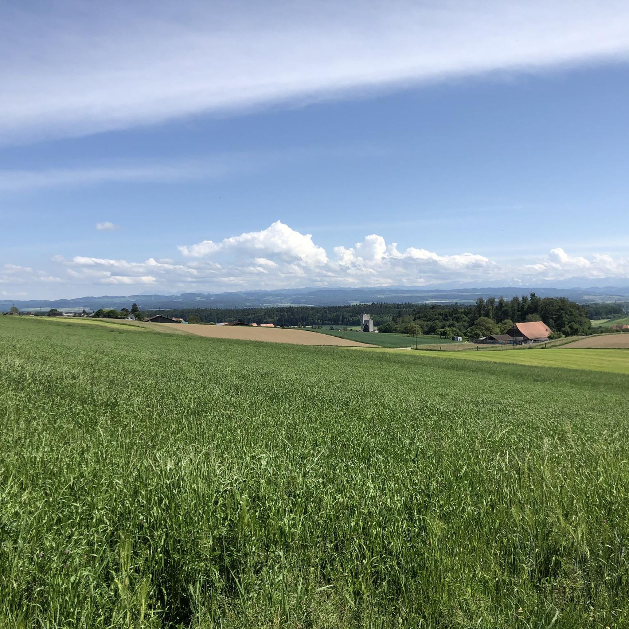

Tips from the Community


Wonderful route, away from the action.
0
0

Beautiful view from the Egg near Aetigkofen
0
0

Enjoy and “swim” in a renatured environment
0
0

also in winter top and cleared 👍
0
0

At this point there is a sandstone pit, which can be accessed from the back through a tunnel. In the pit there is a fireplace and various wooden chairs made from tree trunks. In the summer a shady place to grill. "You enter the pit through a tunnel that the users once excavated. Mining began in the 16th century. At that time, a lot of millstones were needed, a pit near Oberramsern could no longer meet the demand. This was the decision of the Great Council of Solothurn In 1527 a local miller was commissioned to quarry stone near Ober Bockstein on its land. After a few years, however, the miller gave up, as it turned out that his sandstone was too soft for millstones. In 1777, operations resumed in the Upper Bockstein Bockstein-Grube. Above all stove plates were now made from the sandstone. The last stone carver, the "Grubendurs", lived with his wife, the "Grubenänni" until 1890 on site, where the two had set up makeshift in a cave-like niche, as stated on the information board." Source: web.
0
0
Frequently Asked Questions
How many hiking trails are available in Lüterkofen-Ichertswil?
The region of Lüterkofen-Ichertswil offers a wide selection of hiking opportunities, with over 590 trails recorded on komoot. This extensive network provides diverse options for exploring the picturesque Bucheggberg region.
What is the general difficulty level of hikes in the region?
Hiking trails around Lüterkofen-Ichertswil cater to various fitness levels. You'll find a good mix, with over 310 easy routes, 230 moderate trails, and about 40 more challenging options. This ensures there's something suitable for everyone, from casual walkers to experienced hikers.
Are there family-friendly hiking options in Lüterkofen-Ichertswil?
Yes, the region offers several family-friendly trails, particularly among the easier routes. The landscape of rolling hills and meadows provides gentle paths suitable for families. For example, the Emmesteg Kräiligen loop from Wiler is an easy 2.9-mile trail that's a great introduction to the local scenery for all ages.
Are there any trails suitable for strollers or wheelchairs?
While many trails traverse varied terrain, the nearby Weissenstein mountain offers accessible options. Its flat paths are specifically noted as suitable for strollers and wheelchairs, providing breathtaking panoramic views from Säntis to Mont Blanc on clear days.
What natural features can I expect to see while hiking in Lüterkofen-Ichertswil?
The region is characterized by its rural charm and natural diversity. You'll encounter expansive green meadows, dense forests, and the tranquil Biberenbach valley. The forested Oberholz ridge and the idyllic Grimpachweiher pond are also notable natural attractions. Many trails offer views of the Jura mountain chain, and from higher points like Weissenstein, even the Alps.
Are there any notable viewpoints along the hiking trails?
Yes, the region boasts several excellent viewpoints. The Aussichtspunkt Äbnit offers panoramic vistas of the surrounding landscape. Additionally, the nearby Weissenstein and Röti provide impressive vantage points with expansive views over the Central Plateau, the Jura, and the Alps on clear days.
What historical or cultural attractions are near the hiking routes?
Beyond the trails, you can explore several historical and cultural sites. The historic city of Solothurn, with its romantic alleys, ancient cobblestones, and impressive cathedral, is a short distance away. You can also visit the well-preserved medieval Covered Wooden Bridge of Büren an der Aare or the serene Verenaschlucht (Verena Gorge) and Hermitage.
Can I find any castles or historic sites directly on the trails?
Yes, some routes incorporate historical landmarks. For instance, the Mühlebach Stream – Buchegg Castle loop from Kyburg-Buchegg leads directly past Buchegg Castle, offering a blend of natural beauty and historical exploration.
Are there circular hiking routes available?
Yes, many of the trails in Lüterkofen-Ichertswil are designed as circular routes, allowing you to start and end at the same point. Examples include the Emmesteg Kräiligen loop from Wiler and the Buchegg Castle – Mühlebach Stream loop from Kyburg-Buchegg, which provide varied experiences without needing to retrace your steps.
What is the best time of year to go hiking in Lüterkofen-Ichertswil?
The region is beautiful year-round, but autumn is particularly recommended. During this season, the lifting fog over the Aare valley creates a captivating atmosphere and offers remarkable views of the Jura mountain chain. The lush green meadows and dense forests are also vibrant in spring and summer.
Is public transport available to reach hiking trailheads?
The region is well-connected, and public transport options are available to reach various starting points for hikes. Solothurn, a nearby city, serves as a starting point for some regional routes and is easily accessible, providing connections to the surrounding areas.
Are dogs allowed on the hiking trails?
Generally, dogs are welcome on hiking trails in Switzerland, including those around Lüterkofen-Ichertswil. However, it's always advisable to keep them on a leash, especially in nature reserves, agricultural areas, or when passing through livestock pastures, to ensure the safety and comfort of all trail users and local wildlife.
What do other hikers say about the trails in Lüterkofen-Ichertswil?
The hiking trails in Lüterkofen-Ichertswil are highly rated by the komoot community, with an average score of 4.6 stars from over 1600 reviews. Hikers often praise the well-maintained paths, the diverse landscapes of rolling hills and forests, and the peaceful, natural settings that make for an enjoyable outdoor experience.
Most popular routes around Lüterkofen-Ichertswil
Most popular attractions around Lüterkofen-Ichertswil

Get inspired with the komoot mobile app


Explore more
Browse the best Hikes in other regions.
