The best walks and hikes around Luthern
4.5
(702)
4,065
hikers
48
hikes
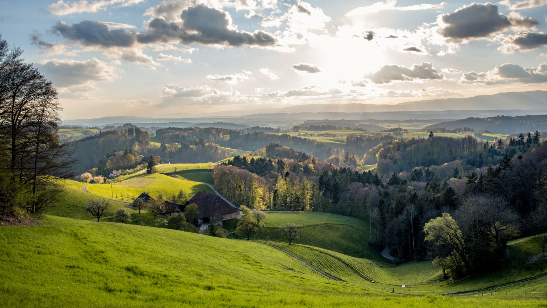
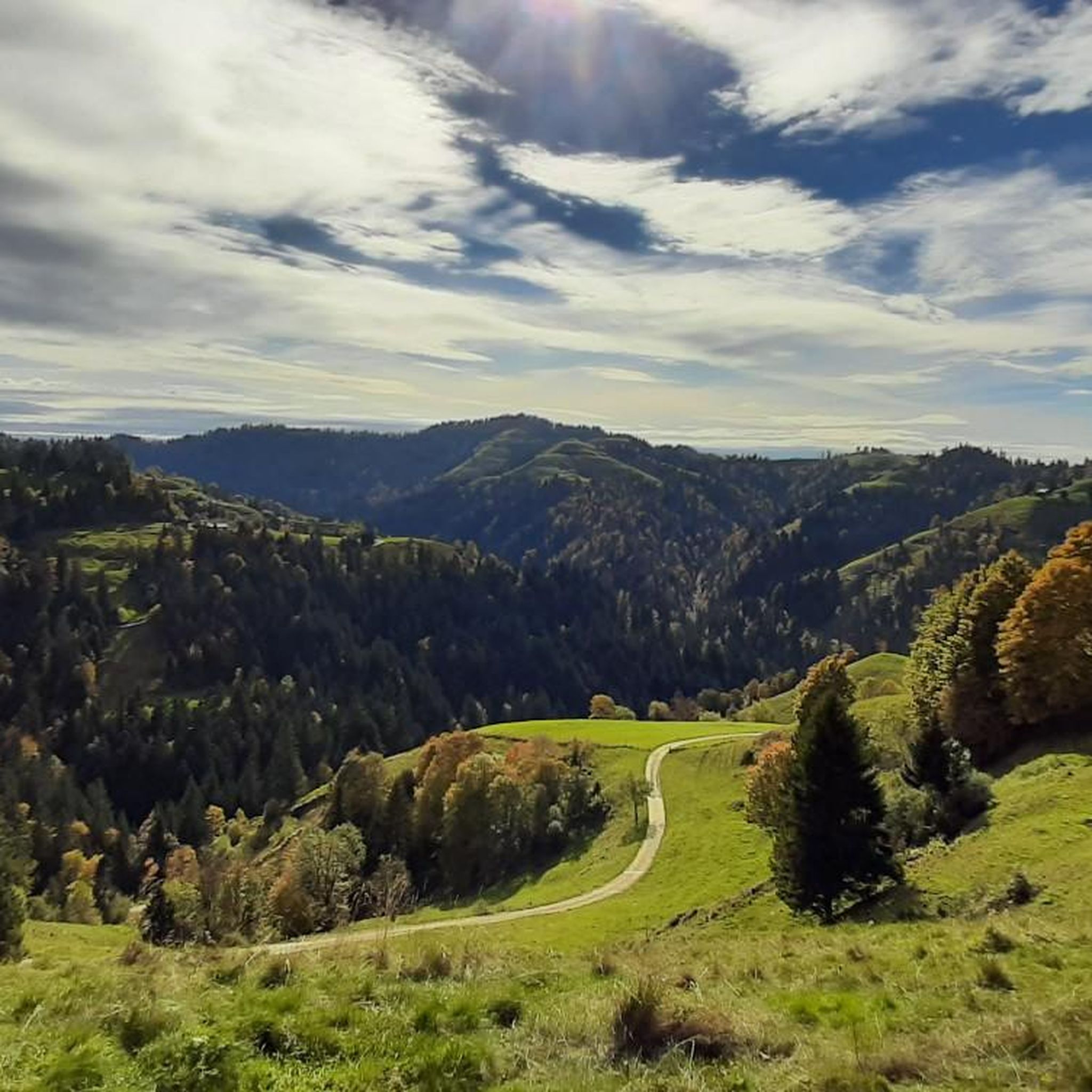
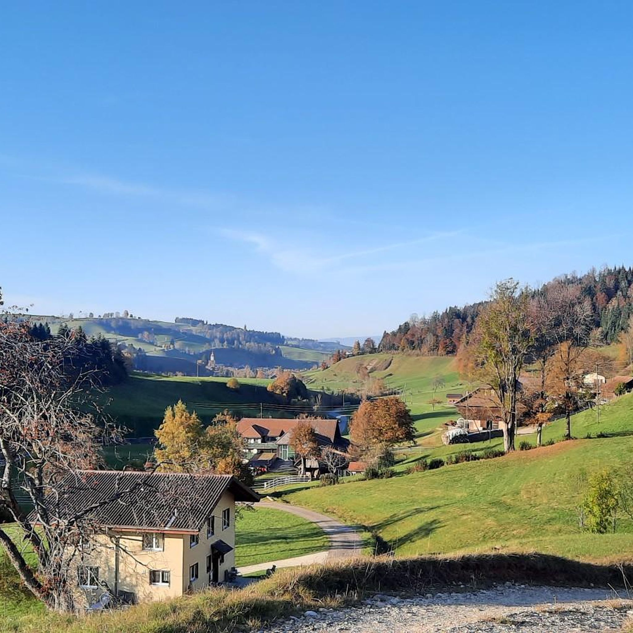
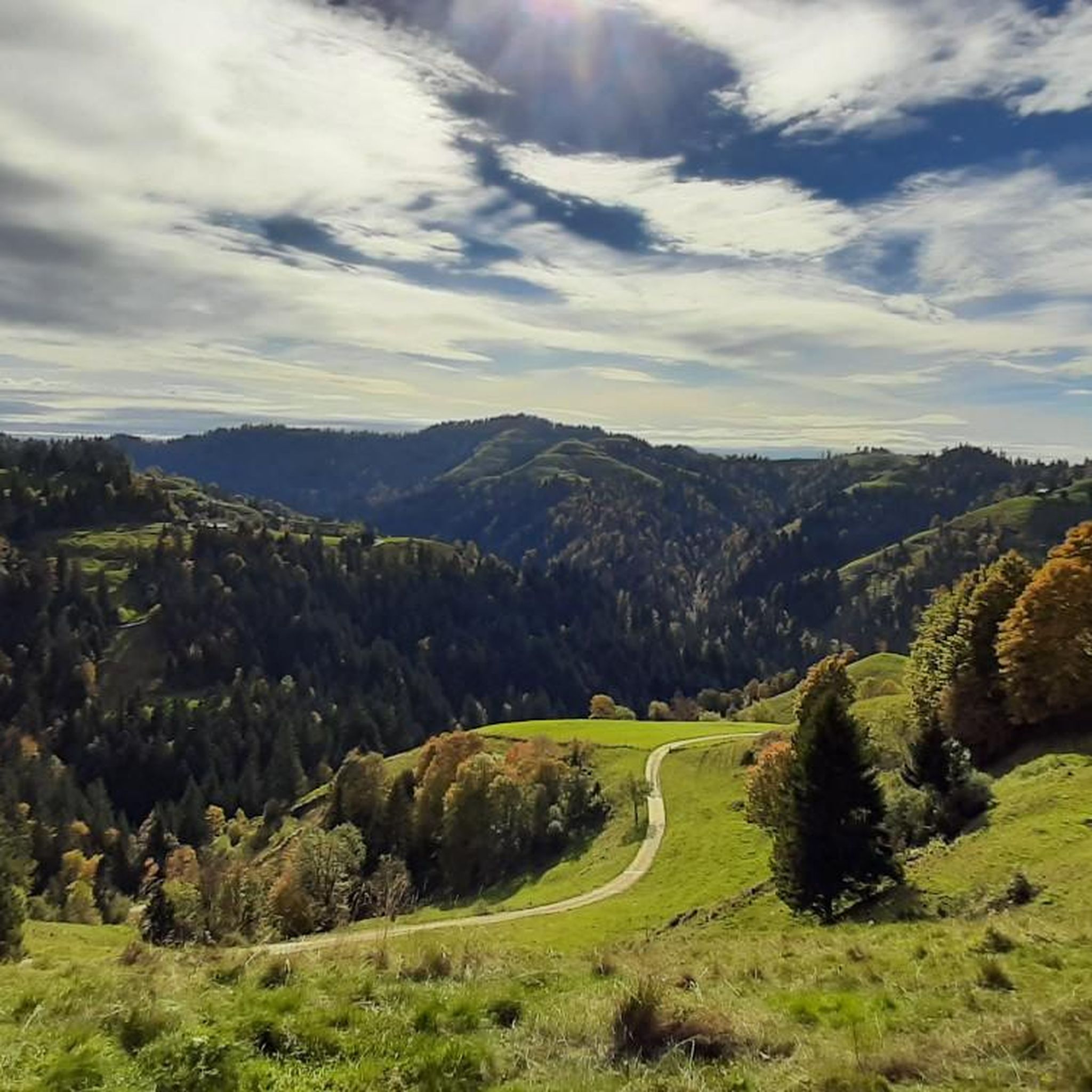
Hiking around Luthern provides access to the varied landscapes of the Napf region in Switzerland. The area features rolling hills, extensive forests, and open alpine pastures, offering diverse terrain for outdoor exploration. Hikers can experience panoramic views, including distant glimpses of the Bernese Alps, while traversing well-maintained paths. The region's natural features include numerous streams and valleys, contributing to a dynamic hiking environment.
Best hiking trails around Luthern
- The most popular hiking route is Trachselegg Erratic Boulder – Stächelegg Farm…
Last updated: September 30, 2026
4.8
(250)
1,112
hikers
Moderate hike. Good fitness required. Easily-accessible paths. Suitable for all skill levels.
4.8
(100)
637
hikers
Moderate hike. Good fitness required. Mostly accessible paths. Sure-footedness required.

4.7
(63)
375
hikers
Moderate hike. Good fitness required. Easily-accessible paths. Suitable for all skill levels.
4.8
(25)
167
hikers
23.5km
07:59
1,160m
1,160m
Hard hike. Very good fitness required. Mostly accessible paths. Sure-footedness required.
4.6
(25)
175
hikers
Moderate hike. Good fitness required. Easily-accessible paths. Suitable for all skill levels.
Get access to more routes and recommendations from other explorers.
Already have an account?
Our route recommendations are based on thousands of hikes, rides, and runs completed by other people on komoot.
Start today with a free account
Your next adventure awaits.

Other adventures around Luthern

Tips from the Community

As mentioned, very steep - and sweaty
0
0


Great hike mostly on the ridge, which is surrounded by meadows and trees.
0
1

very steep, from Luthern Bad 1h 20 min
1
0

Uphill you can't even go up with an electric bike. Too many big round rocks and high steps. I had to push for about 5 minutes uphill.
1
0

Rest bench with a beautiful view... Immediately after leaving the small forest
1
0
Ideal early in the morning. But there are also plenty of opportunities to take a break later and enjoy the fantastic view.
1
0

Frequently Asked Questions
How many hiking trails are available around Luthern?
There are over 45 hiking routes in the Luthern area, offering a wide range of experiences from easy strolls to challenging full-day treks. In total, komoot lists 49 tours, with 16 easy, 24 moderate, and 9 difficult options.
What kind of landscapes can I expect to see while hiking in Luthern?
Hiking around Luthern immerses you in the varied landscapes of the Napf region in Switzerland. You'll encounter rolling hills, extensive forests, and open alpine pastures. Many trails offer panoramic views, including distant glimpses of the Bernese Alps, and you'll often find yourself near numerous streams and valleys.
Are there any easy, family-friendly hikes in Luthern?
Yes, Luthern offers several easy routes suitable for families. An example is the Ahorn Hagsteli – Brestenegg loop from Restaurant Ahorn-Alp, which is an easy 2.5-mile (4 km) hike that takes just over an hour to complete, with minimal elevation gain.
What do other hikers enjoy most about the trails in Luthern?
The trails in Luthern are highly regarded by the komoot community, holding an average rating of 4.5 stars from over 600 reviews. Hikers frequently praise the diverse terrain, the stunning views of the Bernese Alps, and the well-maintained paths that cater to various skill levels.
Are there any circular hiking routes around Luthern?
Yes, many routes in Luthern are circular. For instance, the moderate Trachselegg Erratic Boulder – Stächelegg Farm and Bistro loop from Napf is a popular 5.6-mile (9 km) circular trail that takes about 3 hours and 10 minutes, exploring the Napf region and passing a local farm bistro.
Can I find viewpoints or landmarks along the hiking trails?
Absolutely. The region is known for its scenic viewpoints. The Napf Summit & Panoramic Viewpoint offers breathtaking vistas. You can also visit the Hochwacht Observation Tower for elevated views. Many trails, like the Stächelegg Farm and Bistro – View of the Bernese Alps loop from Napf, specifically highlight views of the Bernese Alps.
Are there any challenging long-distance hikes in the Luthern area?
For experienced hikers seeking a challenge, the Stächelegg Farm and Bistro – View of the Bernese Alps loop from Luthern Bad is a difficult 14.5-mile (23.4 km) route. It typically takes around 8 hours to complete and offers extensive views through the Napf region.
What are some interesting places to explore near Luthern?
Beyond the trails, you can explore historical sites like Willisau Old Town and its Luegertor (Willisau Town Gate). There are also several castles and ruins in the wider area, such as Wyher Castle and Grünenberg Ruins Melchnau.
Is there parking available for hiking trails in Luthern?
Yes, many trailheads in the Luthern area, especially those leading to popular spots like Napf, offer parking facilities. For example, the Napf Trailhead Parking – Trachselegg Alpine Pasture loop from Napf starts directly from a parking area, making access convenient for drivers.
Are there places to eat or rest along the hiking routes?
Yes, you'll find options for refreshments. The Stächelegg Mountain Inn is a notable spot, often featured in route names like the Trachselegg Erratic Boulder – Stächelegg Farm and Bistro loop from Napf, providing a place to stop and refuel.
What is the best time of year to hike in Luthern?
The Napf region around Luthern is beautiful throughout the warmer months, typically from spring to autumn, when trails are clear and the alpine pastures are vibrant. While winter hiking is possible, conditions can vary, and some higher elevation trails may be covered in snow.
Most popular routes around Luthern
Most popular attractions around Luthern

Get inspired with the komoot mobile app


Explore more
Browse the best Hikes in other regions.
