D'Aigüestortes i Estany de Sant Maurici
D'Aigüestortes i Estany de Sant Maurici
The 12 Most Amazing Peaks around D'Aigüestortes i Estany de Sant Maurici
Best mountain peaks around D'Aigüestortes i Estany de Sant Maurici are found within the Catalan Pyrenees, a region characterized by rugged mountain landscapes and numerous glacial lakes. The park's elevation ranges from 1,200 to over 3,000 meters, offering diverse terrain. This area is known for its "aigüestortes" (winding waters) and a rich variety of Pyrenean fauna. The combination of stone and water creates notable natural formations, making it a significant natural landscape.
Best mountain peaks around D'Aigüestortes i Estany de…
Last updated: August 17, 2026
Monestero Pass
Highlight • Mountain Pass
Translated by Google •
Tip by

Collet de Contraix
Highlight • Mountain Pass
Tip by

Sign up now to discover places like this
Get recommendations on the best single tracks, peaks, & plenty of other exciting outdoor places.
Sign up for free
Pico de Amitges
Highlight • Summit
Translated by Google •
Tip by

Besiberri Sud Summit
Highlight • Summit
Tip by

Punta Alta de Comalesbienes
Highlight • Summit
Translated by Google •
Tip by

Sign up for free to discover even more peaks around D'Aigüestortes i Estany de Sant Maurici.
Sign up for free
Already have an account?
Start today with a free account
Your next adventure awaits.
Login or Signup
Popular around D'Aigüestortes i Estany de Sant Maurici
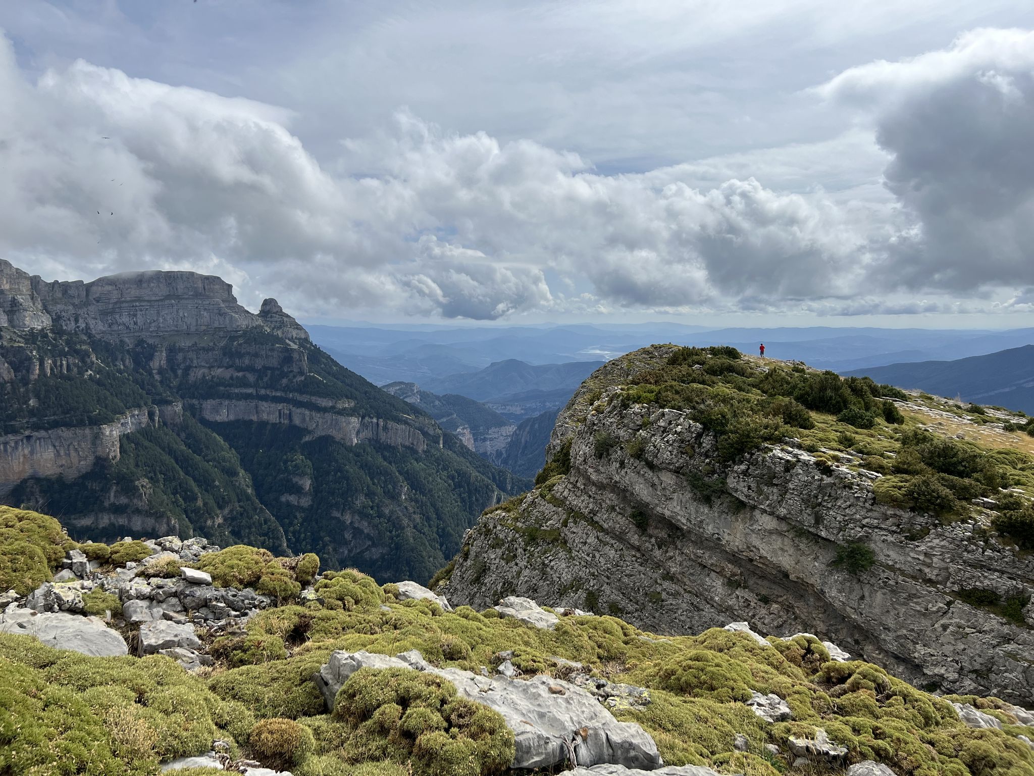
Summit conquests and idyllic mountain lakes – Spanish Pyrenees
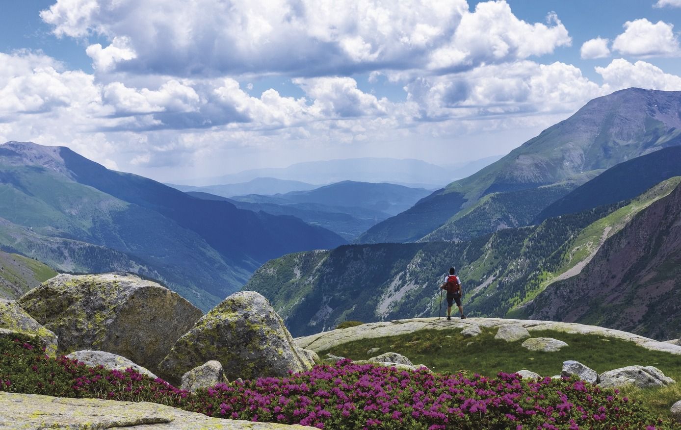
Great Hiking Routes of Catalonia
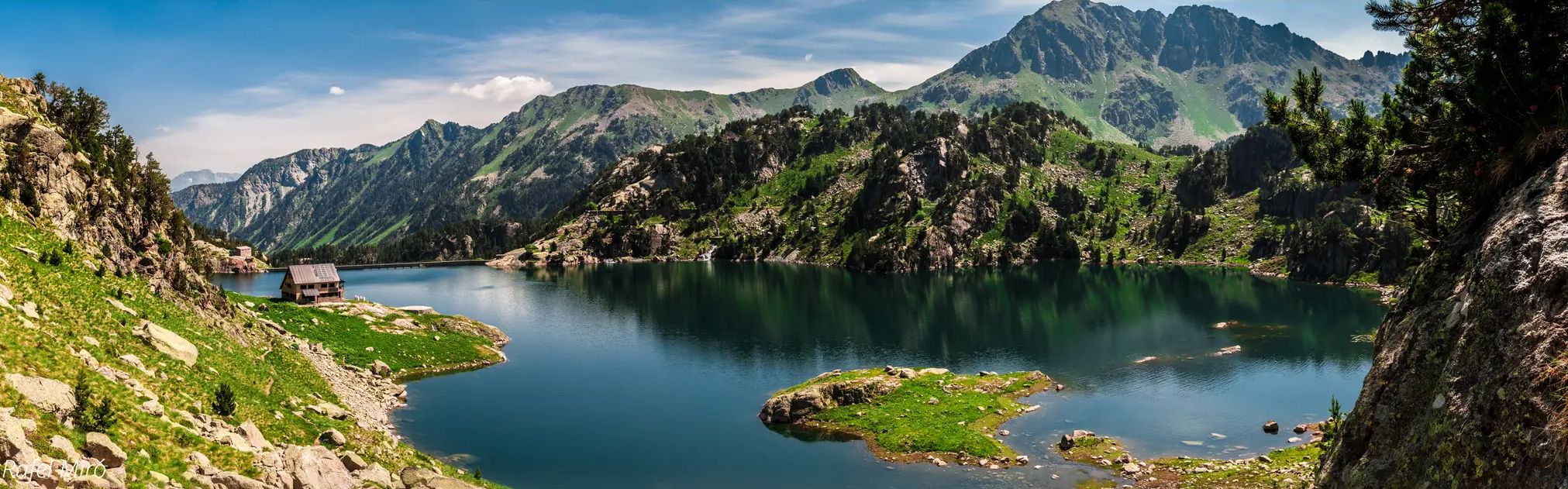
Aigüestortes lakes and mountain huts – Carros de Foc Plus

Catalonia and Andorra on the Pyrenean Trail – GR 11
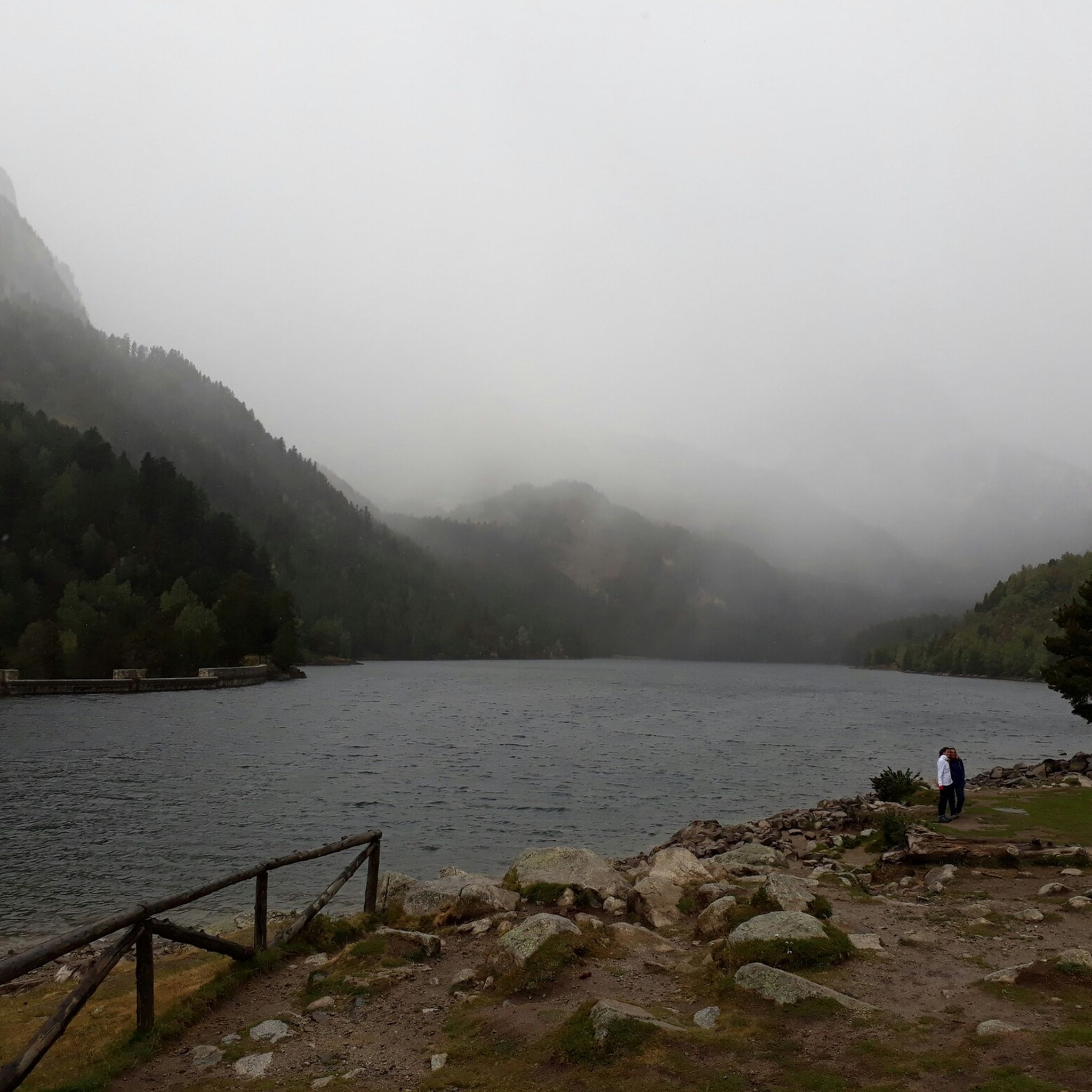
Hiking around D'Aigüestortes i Estany de Sant Maurici
Running Trails around D'Aigüestortes i Estany de Sant Maurici
MTB Trails around D'Aigüestortes i Estany de Sant Maurici
Road Cycling Routes around D'Aigüestortes i Estany de Sant Maurici
Cycling around D'Aigüestortes i Estany de Sant Maurici
Gravel biking around D'Aigüestortes i Estany de Sant Maurici
Other adventures around D'Aigüestortes i Estany de Sant Maurici


Tips from the Community

360° view, perfect for observing where you can go next and if it's passable. If you don't follow the right path from the Col d'Abellers, you risk ending up in unstable blocks that can fall. Be careful, it's steep and dangerous. The descent towards the path that goes to Comaloforno is even more dangerous. There is a very smooth block that is slippery, unlike the others which grip better. If you miss this block, you fall into the void, unless you're lucky. Normally, the ridge going from Besiberri del Mig to Besiberri Sud then to Comaloforno is done with appropriate mountaineering/climbing equipment. It's better to know the area well to know which side of the ridge to pass on and where to change sides. If you climb up from the couloirs on the ridge on the North-East face, it's steep and sporty, perfect for mountaineers. Good luck and stay alive.
0
0

Very difficult passage, you have to be careful
0
0

The Pic d'Amitges (also Pico de Amitges) rises between the municipalities of Alt Àneu and Espot to an altitude of 2,848 meters and separates the Vall de Gerber from the Vall de Ratera. The view from the summit of the mountain landscape with the many small lakes is phenomenal.
0
0

Very easy ascent from Saboredo. Itinerary and milestones well indicated. no danger
1
0

Its altitude is 3014 meters and offers impressive views of the Besiberris and the Maladetas. In this place, you will find several milestones, a geodesic vertex and some commemorative plaques.
1
0


The Monestero hill is at 2,877 meters and belongs to the municipality of Espot (Pallars Sobirà). It offers beautiful views of Lake Peguera.
0
0
At an altitude of 2,848m and within the National Park of Aiguestortes and Lago de Sant Maurici is the Pico de Amitges.
1
0
Frequently Asked Questions
What are some of the most iconic mountain peaks and viewpoints in D'Aigüestortes i Estany de Sant Maurici?
Among the most iconic are Els Encantats, two distinct twin summits that symbolize the park, offering spectacular panoramic views. Another must-see is the View of Estany de Sant Maurici, a popular viewpoint providing a wonderful perspective of the lake and its surroundings.
Which peaks offer the most challenging mountaineering experiences in the park?
For advanced hikers and mountaineers seeking challenging routes, Besiberri Sud, rising to 3,017 meters, and Montardo are excellent choices. These peaks offer opportunities for climbing and more extreme ascents within the park.
Are there any peaks suitable for intermediate hikers with rewarding views?
Yes, Pico de Amitges, at 2,848 meters, is a great option for intermediate hikers. The view from its summit is described as phenomenal, showcasing the mountainous landscape dotted with numerous small lakes. The ascent from Saboredo is well-indicated and considered very accessible.
What natural features can I expect to see when visiting the mountain peaks?
The park is renowned for its rugged mountain landscapes, over 200 glacial lakes, and 'aigüestortes' (winding waters) that create unique river formations like the Valle del Río San Nicolás. You'll also encounter diverse Pyrenean fauna, including chamois, marmots, and golden eagles, amidst the stunning combination of stone and water.
What is the best time of year to hike the peaks in D'Aigüestortes i Estany de Sant Maurici?
The best time to visit for hiking the peaks is generally during the warmer months, from late spring to early autumn (June to September), when trails are mostly free of snow and weather conditions are more stable. However, some higher passes like Collet de Contraix can still have hard snow depending on the season.
Are there family-friendly mountain trails or viewpoints in the area?
While many peaks are challenging, there are accessible routes and viewpoints suitable for families. For instance, the area around Sant Maurici Lake offers easier walks with panoramic views of Els Encantats. For specific easy hiking routes, you can explore the Easy hikes around D'Aigüestortes i Estany de Sant Maurici guide.
Which mountain passes offer notable views or serve as important trail junctions?
The Monestero Pass, at 2,877 meters, provides beautiful views of Lake Peguera and is a great resting spot. Another significant pass is Collet de Contraix, the highest point on the Carros de Foc route at 2,748 meters, linking the Estany Llong and Joan Ventosa i Calvell refuges.
What kind of outdoor activities can I do near these mountain peaks besides hiking?
Beyond hiking, the region offers excellent opportunities for mountain biking and road cycling. You can find various routes, from easy to difficult, in the MTB Trails around D'Aigüestortes i Estany de Sant Maurici and Cycling around D'Aigüestortes i Estany de Sant Maurici guides.
What is Pico de Ratera known for?
Pico de Ratera, situated at 2,862 meters within the impressive Colomers cirque, offers an exceptional setting for mountain enthusiasts. It's known for its accessibility from the Colomers refuge and provides an impressive backdrop for mountain lovers.
What is the highest peak mentioned in the park?
While many peaks are impressive, Comaloforno is noted as one of the highest peaks in the park, with altitudes in the region fluctuating between 1,300 and over 3,000 meters. Besiberri Sud is also notable, rising to 3,017 meters.
What do visitors enjoy most about the mountain peaks in D'Aigüestortes i Estany de Sant Maurici?
Visitors particularly appreciate the phenomenal panoramic views from summits like Pico de Amitges and the iconic silhouette of Els Encantats. The combination of rugged terrain, numerous glacial lakes, and the unique 'aigüestortes' creates a truly immersive natural paradise that is highly valued by the komoot community.
Most popular routes around D'Aigüestortes i Estany de Sant Maurici
Most popular attractions around D'Aigüestortes i Estany de Sant Maurici

Get inspired with the komoot mobile app


Explore more
See even more amazing summits around D'Aigüestortes i Estany de Sant Maurici with these guides:
