The best hikes from bus stations around Diemelsee
4.6
(10055)
35,876
hikers
19
hikes
Bus station hiking trails around Diemelsee navigate a landscape characterized by the central Diemelsee Lake, surrounded by mountainous terrain, dense forests, and high heath areas. The region features significant elevation changes, wide valleys, and gentle hilly terrains. Hikers can expect a diverse network of trails that traverse these natural features, offering varied experiences from lakeside paths to climbs with panoramic views.
Best bus station hiking trails around Diemelsee
- The most popular bus station hiking route is Diemelsee Dam – View…
Last updated: July 13, 2026
4.8
(868)
3,033
hikers
13.7km
03:41
160m
160m
Hard hike. Good fitness required. Sure-footedness, sturdy shoes and alpine experience required.
4.7
(45)
188
hikers
6.62km
01:51
110m
110m
Easy hike. Great for any fitness level. Easily-accessible paths. Suitable for all skill levels.

Sign up for free
4.6
(148)
524
hikers
Moderate hike. Good fitness required. Easily-accessible paths. Suitable for all skill levels.
4.6
(28)
86
hikers
21.0km
06:07
440m
440m
Hard hike. Very good fitness required. Sure-footedness, sturdy shoes and alpine experience required.
4.5
(26)
86
hikers
Hard hike. Good fitness required. Sure-footedness, sturdy shoes and alpine experience required.
Get access to more routes and recommendations from other explorers.
Sign up for free
Already have an account?
Our route recommendations are based on thousands of hikes, rides, and runs completed by other people on komoot.
Start today with a free account
Your next adventure awaits.
Login or Signup
Popular around Diemelsee
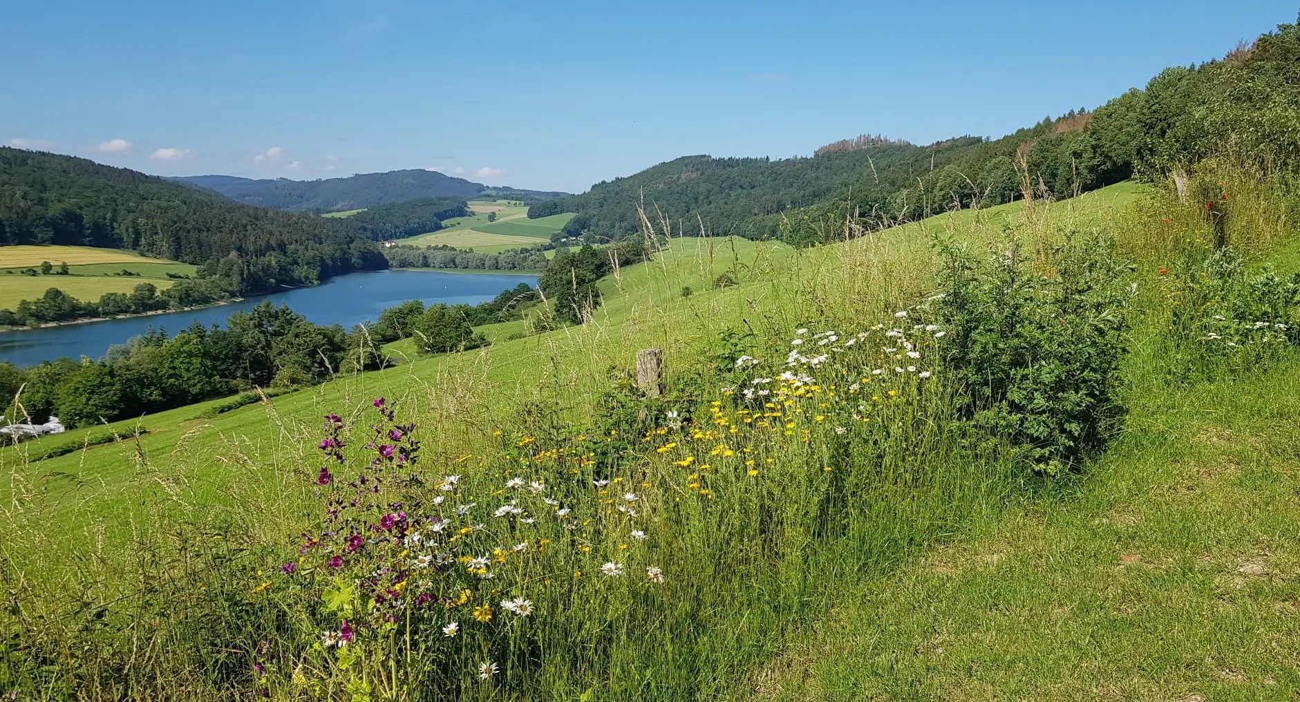
Germany's Sauerland Forest Route – Views and discoveries

Multi-day hikes in the Sauerland – eight trails, many unforgettable moments
Hiking in Gemany’s Sauerland – the most beautiful multi–day Tours
Pure Wanderlust — day Tours in the Sauerland
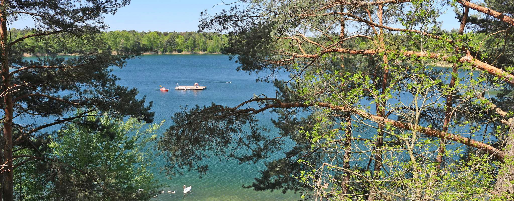
The most popular swimming lakes in Hesse
Zauberhaft mystisch - Die Sauerland-Waldroute
Kurze Wanderungen zu den Sauerland-Seelenorten mit Ausblick
Other adventures around Diemelsee


Tips from the Community

The loop is definitely worth it, but you should have good fitness and provisions with you. Public toilets are available along the way.
0
0

Great adventurous hiking trail
0
0


On its way, it flows through the Diemelsee reservoir and passes the towns of Marsberg, Warburg and Trendelburg before flowing into the Weser on the left bank near Bad Karlshafen.
1
0
From the St. Muffert viewpoint with its summit cross, there is a breathtaking view over Lake Diemelsee and its surroundings.
2
0
The Stormbruch Bridge over the Diemelsee connects Heringhausen with the Stormbruch district and the Seebrücke campsite/beach located directly behind the bridge.
1
0
Heringhausen is a district of the municipality of Diemelsee and a recognized climatic health resort.
1
0
Frequently Asked Questions
How many bus station hiking trails are available around Diemelsee?
There are nearly 20 hiking trails around Diemelsee that are easily accessible from bus stations. These routes offer a variety of experiences, from easy strolls to more challenging day hikes, all designed to be convenient for public transport users.
What kind of terrain can I expect on bus-accessible hikes in Diemelsee?
The Diemelsee region, nestled in the Sauerland mountains, offers diverse terrain. You can expect trails through dense forests, across open fields and meadows, and along the shores of the natural lake. Many routes feature significant elevation changes, providing rewarding panoramic views of the glistening water and surrounding valleys. You might also encounter rare high heath areas.
Are there easy, family-friendly hikes accessible by bus around Diemelsee?
Yes, several easy and family-friendly options are available. For instance, the Stone Bridge at Hennesee – View of Diemelsee loop from Diemelsee is an easy 6.6 km loop. The region also features a popular 12.7 km circular route around the Diemelsee itself, which is generally suitable for families and even strollers, offering modest altitude changes.
Can I bring my dog on bus-accessible hikes in Diemelsee?
Generally, dogs are welcome on most hiking trails in the Diemelsee region, provided they are kept on a leash, especially in nature protection areas and near wildlife. Some areas around the lake even feature designated dog beaches. Always check local signage for specific rules regarding pets on public transport and trails.
What is the best time of year to hike from bus stations in Diemelsee?
The Diemelsee region is beautiful year-round, but spring (April-May) and autumn (September-October) offer particularly pleasant hiking conditions with mild temperatures and stunning natural colors. Summer (June-August) is also popular, especially for combining hikes with water activities on the lake. Winter hiking is possible, but some trails might be challenging due to snow or ice.
Are there circular routes starting from bus stops around Diemelsee?
Yes, many of the bus-accessible routes are designed as circular loops, allowing you to start and end your hike at the same bus stop. An example is the Diemelsee Dam – View of Lake Diemelsee loop from Diemelsee, a 13.6 km loop that offers scenic views and returns you to your starting point.
What are some popular viewpoints or natural features I can see on bus-accessible trails?
The Diemelsee region is rich in natural beauty and viewpoints. You can visit the impressive Diemelsee Dam, a historical monument, or enjoy panoramic vistas from the Panorama Trail Diemelsteig – Views of Diemelsee. The lake itself, particularly near the Diemelsee at the Itter inflow, is a central natural gem.
Are there any longer or more challenging bus-accessible hikes for experienced hikers?
Absolutely. For those seeking a greater challenge, routes like the Christiane Slate Mine – View of Diemelsee loop from Diemelsee offer a demanding 21 km hike with significant elevation gain. The region's mountainous terrain, including peaks like St. Muffert and Eisenberg, provides ample opportunities for more strenuous adventures.
What do other hikers enjoy the most about hiking in Diemelsee?
The Diemelsee area is highly rated by the komoot community, with an average score of 4.6 stars. Reviewers often praise the diverse and picturesque landscapes, the well-maintained network of trails, and the breathtaking views over the lake and surrounding mountains. The combination of natural beauty and accessibility is frequently highlighted.
Are there any historical or cultural sights along bus-accessible hiking routes?
Yes, the region offers historical and cultural points of interest. Besides the Diemelsee Dam, which is an engineering marvel, you might encounter visitor mines or monasteries along various routes. The Grenzwelten Geopark also provides insights into the earth's history, with historic stones marking old borders.
Can I find food and drink options near bus-accessible hiking trails?
Yes, several villages and towns around Diemelsee, which serve as bus stops, offer cafes, restaurants, and accommodation. It's advisable to check opening times, especially outside of peak season, but you'll generally find places to refuel and relax after your hike.
Most popular routes around Diemelsee
Most popular attractions around Diemelsee

Get inspired with the komoot mobile app


Explore more
Browse the best Hikes in other regions.
