The best hikes from bus stations around Bleibtreusee
4.4
(12308)
56,690
hikers
818
hikes
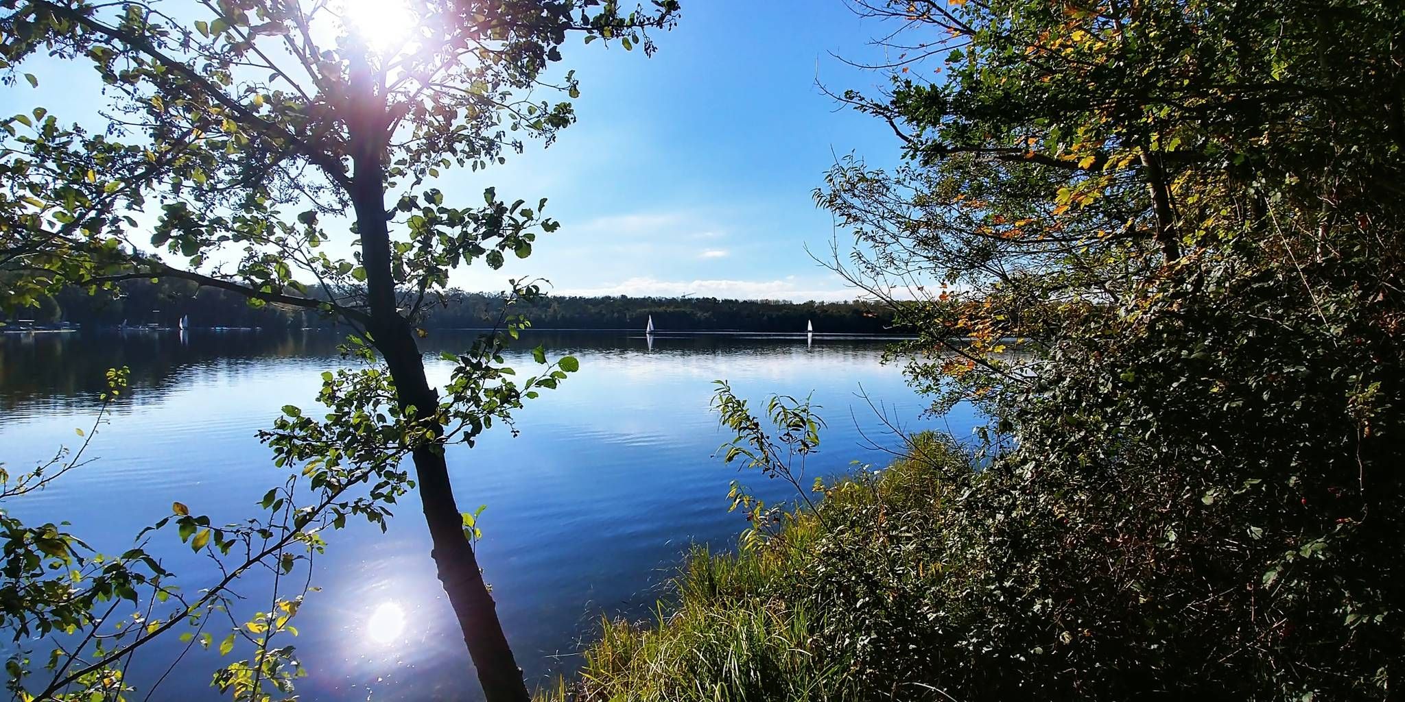
Bus station hiking trails around Bleibtreusee are situated within the Naturpark Rheinland, an area characterized by its unique landscape of artificial lakes formed from former lignite mines. The region features wooded shores, narrow reed strips, and a designated nature reserve on the eastern side of Bleibtreusee. The terrain is generally gentle, with some paths offering slight elevation changes, making it suitable for various hiking abilities.
Best bus station hiking trails around Bleibtreusee
- The most popular bus station hiking route is…
Last updated: June 29, 2026
4.5
(218)
953
hikers
Easy hike. Great for any fitness level. Easily-accessible paths. Suitable for all skill levels.
4.5
(4)
16
hikers
Easy hike. Great for any fitness level. Easily-accessible paths. Suitable for all skill levels.

Sign up for free
5.0
(2)
7
hikers
Moderate hike. Good fitness required. Easily-accessible paths. Suitable for all skill levels.
5.0
(1)
13
hikers
Easy hike. Great for any fitness level. Easily-accessible paths. Suitable for all skill levels.
5.0
(2)
12
hikers
Easy hike. Great for any fitness level. Easily-accessible paths. Suitable for all skill levels.
Get access to more routes and recommendations from other explorers.
Sign up for free
Already have an account?
Our route recommendations are based on thousands of hikes, rides, and runs completed by other people on komoot.
Start today with a free account
Your next adventure awaits.
Login or Signup
Popular around Bleibtreusee
Other adventures around Bleibtreusee

Tips from the Community

One of many beautiful lakes in the Ville.
1
0

Very nice bench with a brilliant view
1
0

Great path with a beautiful view
1
0

There are several opportunities for a break here.
1
0
The playground is in good condition
1
0
Frequently Asked Questions
How many hiking trails around Bleibtreusee are accessible from bus stations?
There are over 800 hiking routes around Bleibtreusee that are easily accessible from various bus stations. These trails cater to all levels, with nearly 600 easy routes, over 200 moderate options, and a few more challenging paths for experienced hikers.
Are there easy circular routes near bus stops around Bleibtreusee?
Yes, Bleibtreusee offers many easy circular routes perfect for those arriving by bus. An excellent option is the View of Bleibtreusee – Bleibtreu Lake Beach loop from Hochschule des Bundes für öffentliche Verwaltung, which is just under 5 km and takes about 1 hour 15 minutes. It provides lovely views and access to the popular beach area.
What kind of natural features can I expect to see on bus-accessible hikes around Bleibtreusee?
The Bleibtreusee area, part of the Naturpark Rheinland, offers diverse natural beauty. You'll encounter wooded shores, narrow reed strips, and the lake itself, which is a former open-pit lignite mine now filled with groundwater. The eastern shore is a nature reserve, and it's an important resting place for various winter bird species. Keep an eye out for the subtle 'Waldgeist' (forest spirit) noted in the area.
Are there any family-friendly hiking trails accessible by bus around Bleibtreusee?
Absolutely. Many of the easy routes are suitable for families. For a pleasant walk, consider the View of Heider Bergsee – Heider Berg Lake loop from Hochschule des Bundes für öffentliche Verwaltung. This easy 3.4 km route takes about an hour and offers scenic views of Heider Bergsee, another beautiful lake in the region.
Can I bring my dog on the hiking trails around Bleibtreusee if I arrive by bus?
Yes, many trails around Bleibtreusee are dog-friendly. While specific rules may apply in nature reserve sections, generally, dogs are welcome on a leash. Always ensure your dog is under control and respect local wildlife. The varied terrain offers plenty of opportunities for both you and your canine companion to enjoy the outdoors.
What are some interesting landmarks or attractions along the bus-accessible routes?
Along your bus-accessible hikes, you can discover several points of interest. The Bleibtreu Lake Beach is a popular spot for bathing. You might also pass the View of water ski facility, where you can watch water sports. For a unique trail experience, look for the Pathway Between the Lakes (Liblar–Heide) within the Naturpark Rheinland.
What do other hikers enjoy most about hiking around Bleibtreusee?
The area is highly rated by the komoot community, with an average score of 4.5 stars from over 11,700 ratings. Reviewers often praise the diverse landscapes, the well-maintained paths, and the peaceful atmosphere, especially the opportunities for circular walks around the lakes.
Are there any moderate difficulty trails accessible from bus stops?
Yes, for those seeking a bit more challenge, there are moderate trails available. The View of Bleibtreusee – Bleibtreu Lake Beach loop from NSG Teilflaeche des Nordhangs im Restfeld Vereinigte Ville is a moderate 8.1 km route, taking about 2 hours 5 minutes. It offers extended views and a good workout while remaining accessible.
Can I find trails that explore more than just Bleibtreusee itself?
Certainly. The region is dotted with several lakes. You can explore routes that connect different bodies of water, such as the Lake Franziskus – Shelter on Schwarzen Weg loop from Hochschule des Bundes für öffentliche Verwaltung. This easy 7.3 km trail takes you to Lake Franziskus, offering a change of scenery and a pleasant walk through the surrounding nature.
Are there any longer bus-accessible routes for a full day out?
For a longer hike, consider the Lakeside Path at the Untersee – Lower Lake (Brühl) loop from Hochschule des Bundes für öffentliche Verwaltung. This moderate 8.7 km route takes approximately 2 hours 15 minutes, allowing for a more extensive exploration of the area, including the beautiful Untersee (Lower Lake) near Brühl.
What is the best time of year to hike around Bleibtreusee from a bus station?
Bleibtreusee is enjoyable year-round. Spring and autumn offer pleasant temperatures and beautiful foliage, while summer is ideal for combining hiking with a swim at the Bleibtreusee — Swimming Area. Even in winter, the trails can be beautiful, especially after a fresh snowfall, though some paths might be muddy or icy, so appropriate footwear is essential.
Most popular routes around Bleibtreusee
Most popular attractions around Bleibtreusee

Get inspired with the komoot mobile app


Explore more
Browse the best Hikes in other regions.
