The best traffic-free bike rides around Schultheisweiher
4.5
(12841)
68,637
riders
400
rides
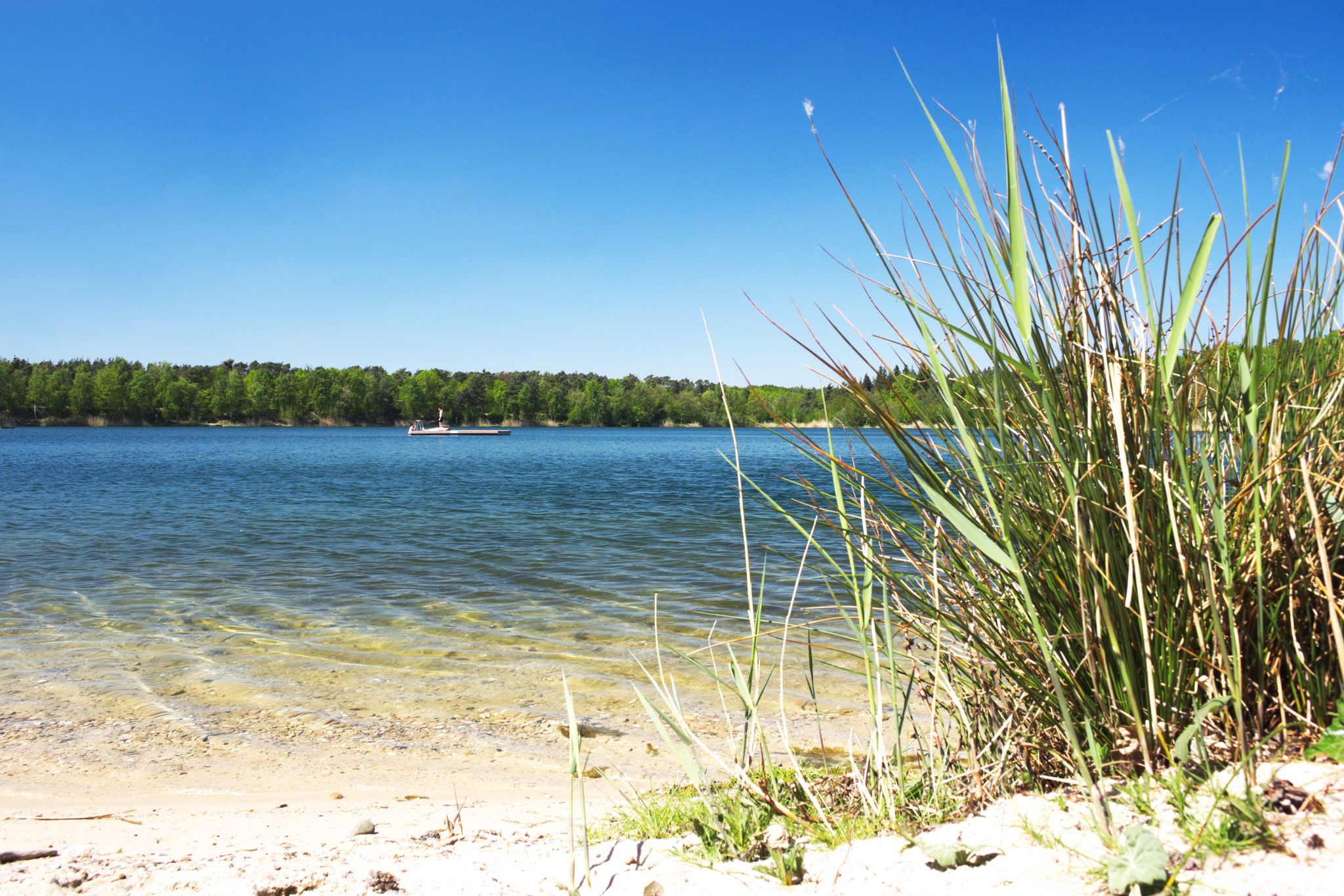
No traffic touring cycling routes around Schultheisweiher are characterized by flat, accessible terrain within the Main River floodplain. This region features diverse wetland landscapes, including the 11-hectare Schultheisweiher lake, which was originally a flooded gravel pit. The area is a designated nature reserve, offering expansive views across meadows and fields, and integrates seamlessly into the wider riverside environment. Paths are often paved or well-maintained, providing a smooth cycling experience with minimal elevation changes.
Best no traffic touring cycling routes around Schultheisweiher
- The most popular no traffic touring cycling route is Arthur von Weinberg Footbridge – Rumpenheim Ferry loop from Fechenheim, a 10.1 miles (16.3 km) trail that takes 55 minutes to complete. This easy route offers scenic views along the Main River.
- Another top favourite among local touring cyclists is St. Pancras Church, Bürgel – Former Mainkur Lock loop from Fechenheim, an easy 5.9 miles (9.4 km) path. This route follows the Main River, providing a flat and accessible ride through the floodplain.
- Local touring cyclists also love the Rumpenheim Ferry – View of Philippsruhe Castle loop from Rumpenheim, a 18.1 miles (29.1 km) trail leading through the Main River floodplain, often completed in about 1 hour 40 minutes.
- Touring cycling around Schultheisweiher is defined by wetland landscapes, the Main River floodplain, and the tranquil lake environment. The network offers options for easy, moderate, and difficult routes, catering to various ability levels.
- The routes in Schultheisweiher are highly rated by the komoot community with an average score of 4.5 stars from over 11,000 reviews. More than 71,000 touring cyclists have used komoot to explore Schultheisweiher's varied terrain.
Last updated: August 23, 2026
4.8
(361)
1,030
riders
Easy bike ride. Great for any fitness level. Mostly paved surfaces. Suitable for all skill levels.
4.7
(3)
62
riders
Easy bike ride. Great for any fitness level. Mostly paved surfaces. Suitable for all skill levels.

Sign up for free
5.0
(1)
45
riders
9.62km
00:34
10m
10m
Easy bike ride. Great for any fitness level. Mostly paved surfaces. Suitable for all skill levels.
4.6
(24)
117
riders
Moderate bike ride. Good fitness required. Mostly paved surfaces. Suitable for all skill levels.
4.7
(7)
30
riders
20.0km
01:14
50m
50m
Easy bike ride. Great for any fitness level. Mostly paved surfaces. Suitable for all skill levels.
Get access to more routes and recommendations from other explorers.
Sign up for free
Already have an account?
Our route recommendations are based on thousands of hikes, rides, and runs completed by other people on komoot.
Start today with a free account
Your next adventure awaits.
Login or Signup

Other adventures around Schultheisweiher

Tips from the Community

Depending on the time of day, there are great views over the Main river.
1
0

The Main is the longest purely German tributary of the Rhine and flows for about 524 km from east to west through Bavaria and Hesse. It begins as the White and Red Main, crosses important regions such as the Franconian wine-growing area and the Rhine-Main region, and finally flows into the Rhine near Mainz. The most important facts about the Main at a glance: Course: Originates near Kulmbach through the confluence of the White and Red Main. It atypically flows from east to west. Length: Around 524 km long with its headwaters (approx. 388 km without headwaters). Mouth: Flows into the Rhine near Mainz-Kostheim. Importance as a waterway: Continuously navigable and connected to the Danube and the Black Sea via the Main-Danube Canal since 1992. Important cities: Including Bamberg, Würzburg, Schweinfurt, Aschaffenburg, Offenbach, and the financial metropolis of Frankfurt am Main.
7
0
Here is a beautiful row of weeping willows alternating with other trees on the Main riverbank, really nice to look at.
12
0

From the bridge you can watch the big ships and the small boats.
2
0

The bike path is currently being resurfaced. However, detours are clearly signposted.
0
0

Here you can enjoy a beautiful view of the Main River towards the northwest.
1
0
Here you can enjoy a beautiful view of the Main River in a southeasterly direction.
0
0
Frequently Asked Questions
How many no-traffic touring cycling routes are available around Schultheisweiher?
The Schultheisweiher area offers a wide selection of traffic-free touring cycling routes. There are over 400 routes available, with more than 200 specifically categorized as easy, making them ideal for relaxed rides.
What kind of terrain can I expect on the cycling paths around Schultheisweiher?
The region around Schultheisweiher is predominantly flat, making it highly suitable for touring cyclists of all fitness levels. Paths are often paved or well-maintained, ensuring a smooth cycling experience with minimal elevation changes. You'll find routes seamlessly integrated into the Main River floodplain, offering expansive views.
Are there any family-friendly no-traffic cycling routes in the area?
Yes, the flat and well-maintained paths around Schultheisweiher are excellent for family-friendly cycling. Routes like the St. Pancras Church, Bürgel – Former Mainkur Lock loop from Fechenheim offer a gentle ride, perfect for enjoying the natural surroundings without concerns about traffic.
What natural features or landmarks can I see while cycling around Schultheisweiher?
Cyclists can enjoy diverse natural features, including wetland landscapes, the Schultheisweiher lake itself, and the scenic Main River floodplain. The area is a designated nature reserve, home to rare bird species like the Great Crested Grebe and Kingfisher. You might also pass by points of interest such as the Arthur von Weinberg Footbridge or the Rumpenheim Ferry, as seen on routes like the Arthur von Weinberg Footbridge – Rumpenheim Ferry loop from Fechenheim.
What do other touring cyclists enjoy most about the routes in Schultheisweiher?
The area is highly rated by the komoot community, with an average score of 4.5 stars from over 11,900 ratings. Reviewers often praise the quiet, traffic-free paths, the beautiful riverside scenery, and the flat, accessible terrain that makes for enjoyable and relaxing touring cycling.
Are there any circular touring cycling routes available?
Yes, many of the routes around Schultheisweiher are designed as circular loops, allowing you to start and end at the same point. An example is the Rumpenheim Ferry – View of Philippsruhe Castle loop from Rumpenheim, which offers a scenic round trip.
When is the best time of year to go touring cycling around Schultheisweiher?
The region is enjoyable for cycling throughout much of the year. Spring and autumn offer pleasant temperatures and beautiful scenery. During summer, the lake's bathing area provides a convenient stop for refreshment, especially between May and September when supervision is in place. The flat terrain makes it accessible even in cooler months, provided paths are clear.
Are there any amenities like cafes or pubs near the cycling paths?
While specific cafes or pubs directly on every path are not guaranteed, the Schultheisweiher lake area itself offers recreational amenities, including a bathing area with facilities. Given its proximity to urban centers like Offenbach and Frankfurt, you'll find various options for refreshments and dining within a short distance of the main cycling network.
How long are the typical no-traffic touring cycling routes in this region?
Route lengths vary to suit different preferences. You can find shorter loops, such as the St. Pancras Church, Bürgel – Former Mainkur Lock loop from Fechenheim, which is about 9.4 km, or longer tours like the Scenic Approach to Hohe Straße – Confluence of the Nidder and the Nidda loop from Maintal West, spanning over 26 km. Many routes are designed for a relaxed touring pace.
Is it possible to reach the cycling routes by public transport?
Schultheisweiher's integration into the broader regional network means it's generally accessible. While specific public transport connections to every trailhead would need local research, the area's proximity to Offenbach and Frankfurt suggests good connectivity, allowing cyclists to reach starting points for their tours.
Are there specific parking areas for cyclists near the no-traffic routes?
As a popular recreational area, Schultheisweiher typically offers parking facilities for visitors. Cyclists can usually find designated parking areas near the lake or at common starting points for routes, allowing for convenient access to the traffic-free paths.
Most popular routes around Schultheisweiher

Get inspired with the komoot mobile app


