The best hikes from bus stations around Montclair
4.6
(12317)
47,995
hikers
535
hikes
Bus station hiking trails around Montclair are set within a varied landscape shaped by the First Watchung Mountain, offering diverse terrain. The region features lush forests, rocky bluffs, and tranquil waterways, with numerous parks providing extensive trail networks. Montclair's urban greenscape includes native trees and serene ponds, supporting local wildlife. Some areas also provide views of the New York City skyline.
Best bus station hiking trails around Montclair
- The most popular bus station hiking route is Steinbach Valley – Steinbach Valley loop from Nohn, a 5.8 miles (9.4 km) trail that takes 2 hours 44 minutes to complete. This route features an elevation gain of 774 feet (236 meters).
- Another top favourite among local hikers is Left Bank of the Saar – Cloef Trail loop from Mettlach, a difficult 12.5 miles (20.1 km) path. This trail includes 894 feet (272 meters) of elevation gain.
- Local hikers also love the View of the Saarschleife – Little Cloef Viewpoint loop from Mettlach, a 9.1 miles (14.7 km) trail leading through varied terrain, often completed in about 4 hours 21 minutes.
- Hiking around Montclair is defined by lush forests, rocky bluffs, and tranquil waterways. The network offers options for different ability levels, from gentle strolls to challenging ascents.
- The routes in Montclair are highly rated by the komoot community with an average score of 4.6 stars from over 10,000 reviews. More than 45,000 hikers have used komoot to explore Montclair's varied terrain.
Last updated: July 13, 2026
4.3
(4)
17
hikers
14.5km
04:16
390m
400m
Moderate hike. Good fitness required. Mostly accessible paths. Sure-footedness required.
4.7
(37)
121
hikers
9.38km
02:43
250m
250m
Moderate hike. Good fitness required. Easily-accessible paths. Suitable for all skill levels.

Sign up for free
4.8
(5)
33
hikers
5.79km
01:34
80m
80m
Easy hike. Great for any fitness level. Easily-accessible paths. Suitable for all skill levels.
4.0
(2)
47
hikers
6.70km
01:50
110m
110m
Easy hike. Great for any fitness level. Easily-accessible paths. Suitable for all skill levels.
3.7
(3)
31
hikers
2.73km
00:47
70m
70m
Easy hike. Great for any fitness level. Easily-accessible paths. Suitable for all skill levels.
Get access to more routes and recommendations from other explorers.
Sign up for free
Already have an account?
Our route recommendations are based on thousands of hikes, rides, and runs completed by other people on komoot.
Start today with a free account
Your next adventure awaits.
Login or Signup
Popular around Montclair
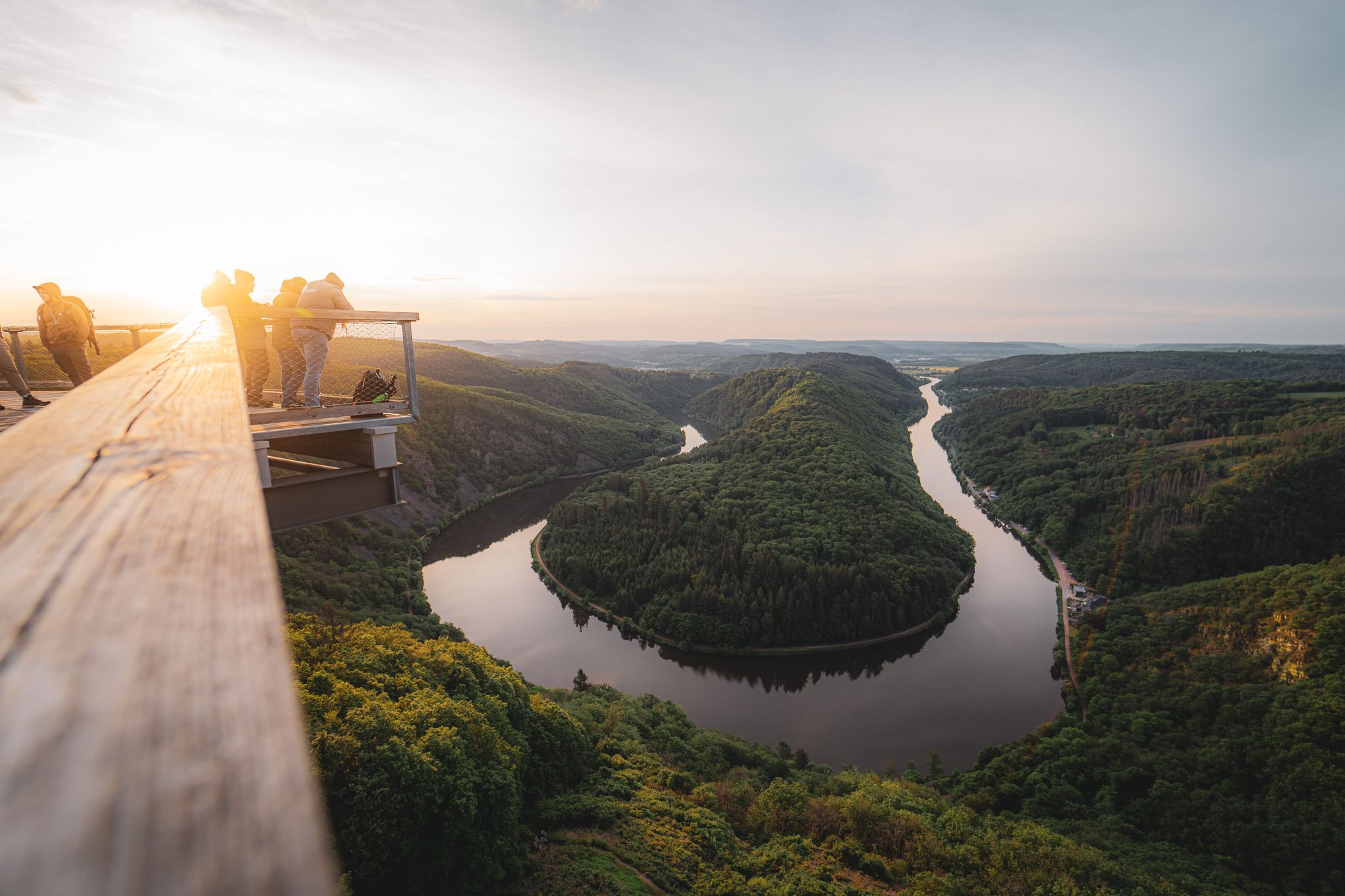
Saarland – primeval forests, river bends and secret night camps
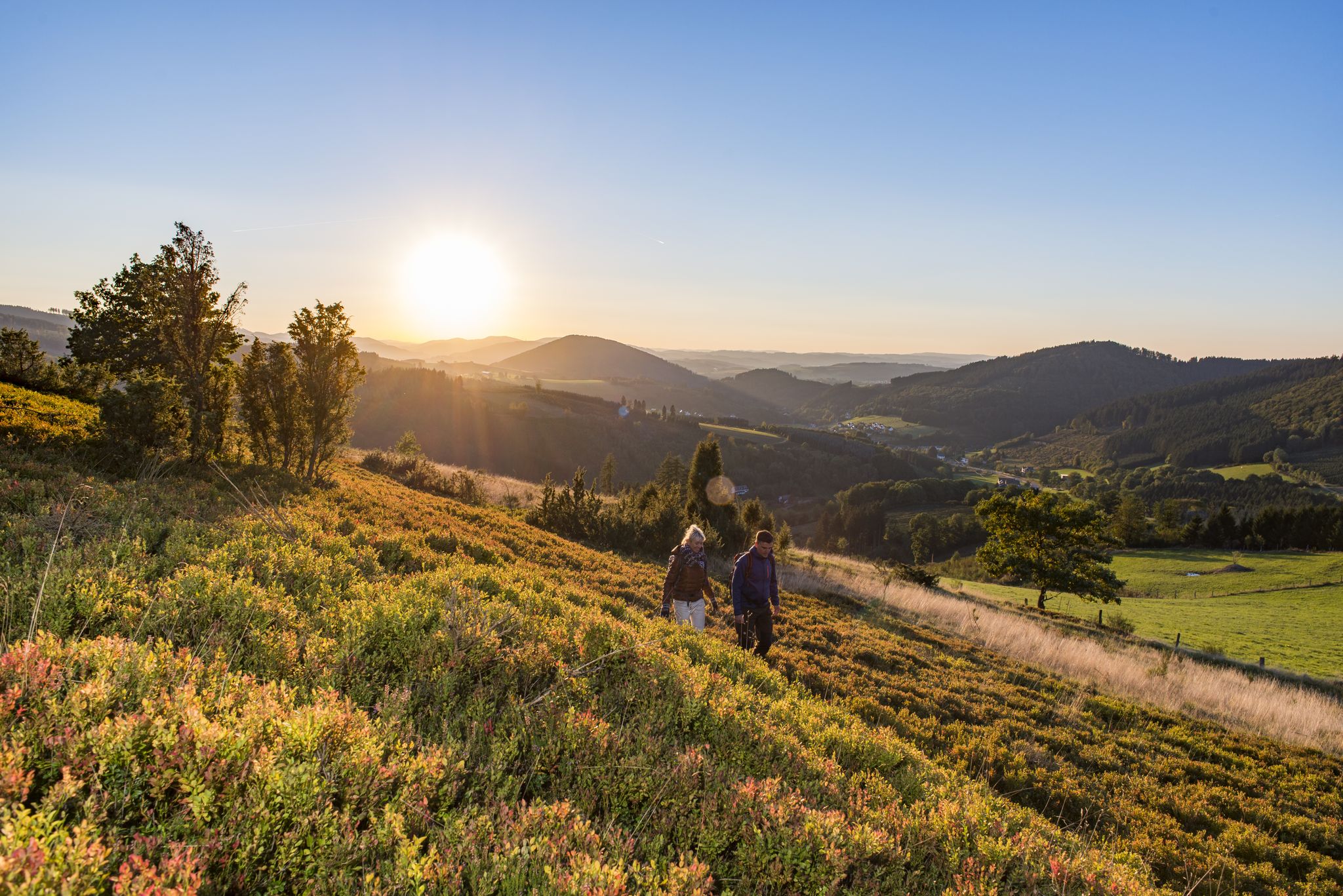
Dreamlike hiking in Germany – #EmbraceGermanNature
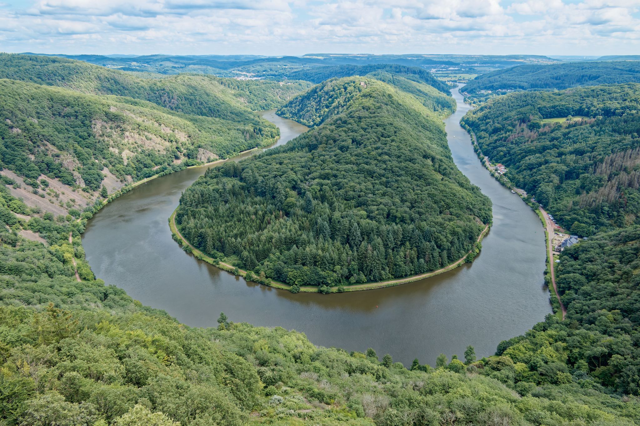
Hike Germany’s Saar-Hunsrück Climb with jungwandern.de

Satisfy your Wanderlust – premium hiking trails in Saarland

Countless trails, nature & history – hiking in Saarland
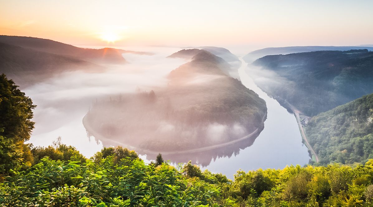
Hiking and feasting in the Saarland
Other adventures around Montclair


Tips from the Community


The entire Saarschleife has paths on both sides of the river.
0
0

In summer, the beautiful view down to the Saar is quite limited due to the foliage.
1
0


Great view. In summer, there's hardly any protection from the sun and heat during the midday climb.
0
0

The Saar River is also very beautiful up close!
0
0
Entry currently costs €15 for adults. The climb is quite pleasant, and the view from the top is, of course, spectacular. You get an even more dramatic view of the Saar Loop than from the Cloef viewpoint. Whether it's worth the entrance fee is something you'll have to decide for yourself.
0
0

I can only agree with my predecessors, it is simply amazing!!!
1
0
Frequently Asked Questions
How many hiking trails are accessible from bus stations in Montclair?
Montclair offers a wide array of hiking opportunities accessible by bus. Our guide features over 500 routes that you can start directly from a bus stop, providing convenient access to the region's diverse natural landscapes.
What types of landscapes can I expect on bus-accessible hikes in Montclair?
Hikes accessible from Montclair's bus stations traverse varied terrain, including lush forests, rocky bluffs, and tranquil waterways. You'll find trails winding through urban greenscapes and natural preserves, with some offering stunning views of the New York City skyline, particularly from areas like Mills Reservation and Eagle Rock Reservation.
Are there easy, family-friendly hiking options near Montclair bus stops?
Yes, Montclair has many easy and family-friendly trails accessible by bus. Parks like Brookdale Park offer paved and unpaved paths suitable for all skill levels, providing a peaceful environment for leisurely walks. The Alonso F. Bonsal Wildlife Preserve also offers serene strolls perfect for families.
Can I bring my dog on bus-accessible hiking trails in Montclair?
Many trails in and around Montclair are dog-friendly, making it a great destination for hiking with your canine companion. Always check specific park regulations, but areas like Mills Reservation and Eagle Rock Reservation generally welcome leashed dogs on their trails.
Are there any circular hiking routes available from Montclair bus stations?
Yes, Montclair's extensive trail networks, including sections of the Lenape Trail, allow for numerous circular routes. These loops provide a convenient way to explore the natural beauty of the area without needing to retrace your steps, often returning you close to your starting bus stop.
What are some scenic viewpoints or natural features to look out for on these hikes?
Montclair's bus-accessible hikes offer several scenic highlights. Look for panoramic views of the New York City skyline from Mills Reservation and Eagle Rock Reservation. You'll also encounter serene ponds and streams in parks like Yantacaw Brook Park and the Alonso F. Bonsal Wildlife Preserve, which are excellent for birdwatching.
What is the best time of year to go hiking from Montclair bus stations?
Montclair offers enjoyable hiking experiences year-round. Spring brings blooming flora, while autumn showcases vibrant fall foliage, especially beautiful in the forested areas. Summer is great for shaded trails, and winter offers crisp air and unique views, though some trails might be icy. Always check local conditions before heading out.
How difficult are the bus-accessible hiking trails in Montclair?
The trails range from easy to challenging. You'll find over 300 easy routes, around 200 moderate options, and a smaller selection of more difficult trails. This variety ensures there's something for every fitness level, from gentle strolls in parks to more vigorous hikes with elevation changes in reservations like Garret Mountain.
What do other hikers say about the bus-accessible trails in Montclair?
The hiking experiences around Montclair are highly rated by the komoot community, with an average score of 4.6 stars from over 10,000 ratings. Reviewers often praise the accessibility from public transport, the diverse landscapes, and the stunning views, especially those of the NYC skyline.
Are there less crowded hiking spots accessible by bus in Montclair?
While popular spots like Mills Reservation can attract crowds, you can find quieter experiences. Yantacaw Brook Park and the Alonso F. Bonsal Wildlife Preserve offer more natural and less developed settings, providing a peaceful retreat for nature walks and wildlife observation, often accessible via local bus routes.
Can I find cafes or pubs near bus-accessible hiking trails in Montclair?
Montclair is known for its vibrant downtown area with numerous cafes, restaurants, and pubs. Many bus routes connect the hiking trailheads to the town center, making it easy to enjoy a post-hike meal or drink. Specific establishments will depend on your chosen trail and bus stop.
Most popular routes around Montclair
Most popular attractions around Montclair

Get inspired with the komoot mobile app


Explore more
Browse the best Hikes in other regions.
