The best hikes from bus stations in Redes
4.6
(340)
3,254
hikers
14
hikes
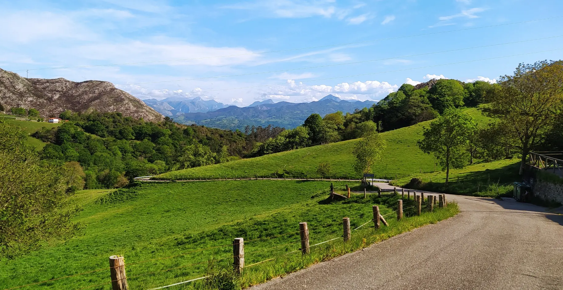
Hiking in Redes, a UNESCO Biosphere Reserve, offers diverse terrain characterized by rugged peaks, extensive deciduous forests, and deep limestone gorges carved by rivers. The region features elevations with almost 80% of its surface exceeding 800 meters, including peaks like Rapainal at 2,002 meters. Glacial formations and karst landscapes are also present, providing varied hiking environments.
Best bus station hiking trails in Redes
- The most popular bus station hiking route is Texu la Oración Viewpoint – Crestón Tunnel loop from…
Last updated: July 13, 2026
4.8
(5)
52
hikers
21.5km
06:42
810m
810m
Hard hike. Very good fitness required. Easily-accessible paths. Suitable for all skill levels.
4.8
(11)
113
hikers
8.01km
02:42
380m
380m
Moderate hike. Good fitness required. Mostly accessible paths. Sure-footedness required.

Sign up for free
4.7
(6)
36
hikers
13.8km
05:09
850m
850m
Hard hike. Very good fitness required. Mostly accessible paths. Sure-footedness required.
5.0
(1)
7
hikers
9.77km
02:47
190m
190m
Moderate hike. Good fitness required. Mostly accessible paths. Sure-footedness required.
5.0
(2)
2
hikers
25.4km
10:38
1,540m
1,540m
Hard hike. Very good fitness required. Sure-footedness, sturdy shoes and alpine experience required.
Get access to more routes and recommendations from other explorers.
Sign up for free
Already have an account?
Our route recommendations are based on thousands of hikes, rides, and runs completed by other people on komoot.
Start today with a free account
Your next adventure awaits.
Login or Signup
Popular around Redes
Other adventures in Redes

Tips from the Community

La Felechosa is a town steeped in mining and livestock traditions in the municipality of Aller. It is located at the gateway to the beautiful Asturian mountains, especially the Fuentes de Invierno ski resort. Its well-preserved historic center offers a varied culinary offering.
0
0

It's a beautiful place and a dreamlike landscape. What a shame the shelter isn't working. These politicians we have don't do a single thing right.
0
0

The tunnel was carved by hand through which in the past the animals had to be unloaded so that they could pass through. Now, it is somewhat wider and allows tractors etc. to pass. Without a doubt, it is the most spectacular area of the route, with impressive vertical precipices.
2
0
The viewpoint is in the heart of the Redes Natural Park. From Bezanes there is a path that leads to the braña de Brañagallones and that will allow you to approach this natural balcony, with one of the best views of the park. The masses of La Rapaona and Peña del Viento stand out.
2
0

The initial part of the route, starting from Bezanes, is the hardest part, hold out until the Crestón tunnel and the climb is yours.
0
0


To go up to the Vega there is a public service, with which we avoid walking up the 11km from the nearest town: Bezanes. In la Vega there is a shelter where you can sleep and eat. From here you can make several very beautiful hiking trails.
0
0
Frequently Asked Questions
How many hiking trails accessible by bus are available in Redes Natural Park?
There are 8 hiking routes in Redes Natural Park that are easily accessible from bus stations, offering a variety of experiences for different skill levels.
What kind of terrain can I expect on bus-accessible hikes in Redes Natural Park?
The bus-accessible trails in Redes Natural Park traverse diverse terrain, from lush deciduous forests of beech, oak, and chestnut, to rugged limestone mountains with impressive karst formations. You'll encounter glacial valleys, rivers, and potentially high-altitude meadows, reflecting the park's varied landscape where almost 80% of the surface exceeds 800 meters in elevation.
Are there any circular hiking routes starting from bus stations in Redes?
Yes, several circular routes are accessible. For a challenging full-day hike, consider the Texu la Oración Viewpoint – Crestón Tunnel loop from Bezanes, which is over 21 km long. For a moderate option, the Marmartín River – Fuente Las Gavilanceras loop from Felechosa offers a shorter, scenic experience.
What natural features or landmarks can I see along these bus-accessible trails?
Many trails offer stunning natural sights. You can visit the Texu la Oración Viewpoint for panoramic vistas, or discover the impressive Tabayón del Mongayu Waterfall, a designated natural monument. Some routes also pass through the Crestón Tunnel, a unique man-made feature in the landscape.
Are there any family-friendly bus-accessible hikes in Redes Natural Park?
While many trails in Redes can be challenging, the La Felechosa – Felechosa Short Route loop from Felechosa is a moderate option that might be suitable for families looking for a shorter, less strenuous walk. It covers about 9.7 km with manageable elevation gain.
What is the best time of year to hike in Redes Natural Park from bus stations?
Spring and autumn are particularly beautiful. In spring, the valleys are adorned with wildflowers, including orchids. Autumn offers spectacular scenery as the extensive beech, oak, and chestnut forests display vibrant colors. Summer is also popular, but be prepared for warmer temperatures. Winter hiking is possible but requires appropriate gear due to potential snow and ice, especially at higher elevations.
Can I bring my dog on the bus-accessible hiking trails in Redes?
Redes Natural Park is generally dog-friendly, but it's crucial to keep your dog on a leash, especially given the rich biodiversity. The park is home to wildlife such as Cantabrian brown bears, Iberian wolves, and various deer species. Always ensure your dog is under control to protect both wildlife and other hikers.
What are the difficulty levels of the bus-accessible trails?
The bus-accessible trails in Redes range from moderate to difficult. There are 3 moderate routes, such as the Marmartín River – Fuente Las Gavilanceras loop from Felechosa, and 5 difficult routes, including the demanding Marmartín River loop from Felechosa, which features over 1000 meters of elevation gain.
What do other hikers enjoy most about hiking in Redes Natural Park?
The area is highly rated by the komoot community, with an average score of 4.7 stars. Reviewers often praise the stunning natural beauty, the diverse landscapes ranging from lush forests to rugged mountains, and the opportunity to experience a UNESCO Biosphere Reserve. The well-maintained trails and the chance to spot local wildlife are also frequently highlighted.
Are there any places to eat or stay near the bus-accessible trailheads?
Redes Natural Park encompasses small villages like Soto de Caso, Caleao, Tarna, and Bezanes, which often serve as starting points for trails. These villages preserve traditional Asturian culture and may offer local eateries or accommodation options. For example, the Brañagallones Refuge is located within the park, offering a place to rest amidst the natural beauty.
Most popular attractions in Redes

Get inspired with the komoot mobile app


Explore more
Browse the best Hikes in other regions.
