The best hikes from bus stations in Grands Causses
4.5
(3001)
17,844
hikers
109
hikes
Bus station hiking trails in Grands Causses offer access to a region defined by vast limestone plateaus, known as "causses," which are deeply incised by river gorges like the Tarn and Jonte. This landscape features expansive grasslands, dense forests, and unique karst formations. The area is part of a UNESCO World Heritage Site, showcasing a rich agro-pastoral cultural landscape. Hikers can explore a diverse terrain of plateaus, valleys, and dramatic rock formations.
Best bus station hiking trails in Grands Causses
…Last updated: October 3, 2026
4.8
(22)
126
hikers
14.5km
05:04
750m
750m
Hard hike. Very good fitness required. Mostly accessible paths. Sure-footedness required.
4.4
(15)
85
hikers
7.36km
01:56
60m
60m
Easy hike. Great for any fitness level. Easily-accessible paths. Suitable for all skill levels.

4.8
(13)
65
hikers
7.51km
02:55
460m
460m
Moderate hike. Good fitness required. Mostly accessible paths. Sure-footedness required.
4.8
(4)
32
hikers
3.19km
00:58
110m
110m
Easy hike. Great for any fitness level. Easily-accessible paths. Suitable for all skill levels.
4.2
(15)
102
hikers
6.96km
02:00
170m
170m
Moderate hike. Good fitness required. Easily-accessible paths. Suitable for all skill levels.
Get access to more routes and recommendations from other explorers.
Already have an account?
Our route recommendations are based on thousands of hikes, rides, and runs completed by other people on komoot.
Start today with a free account
Your next adventure awaits.
Popular around Grands Causses

Hexatrek – The Cévennes to the Pyrenees between gorges and limestone plateau
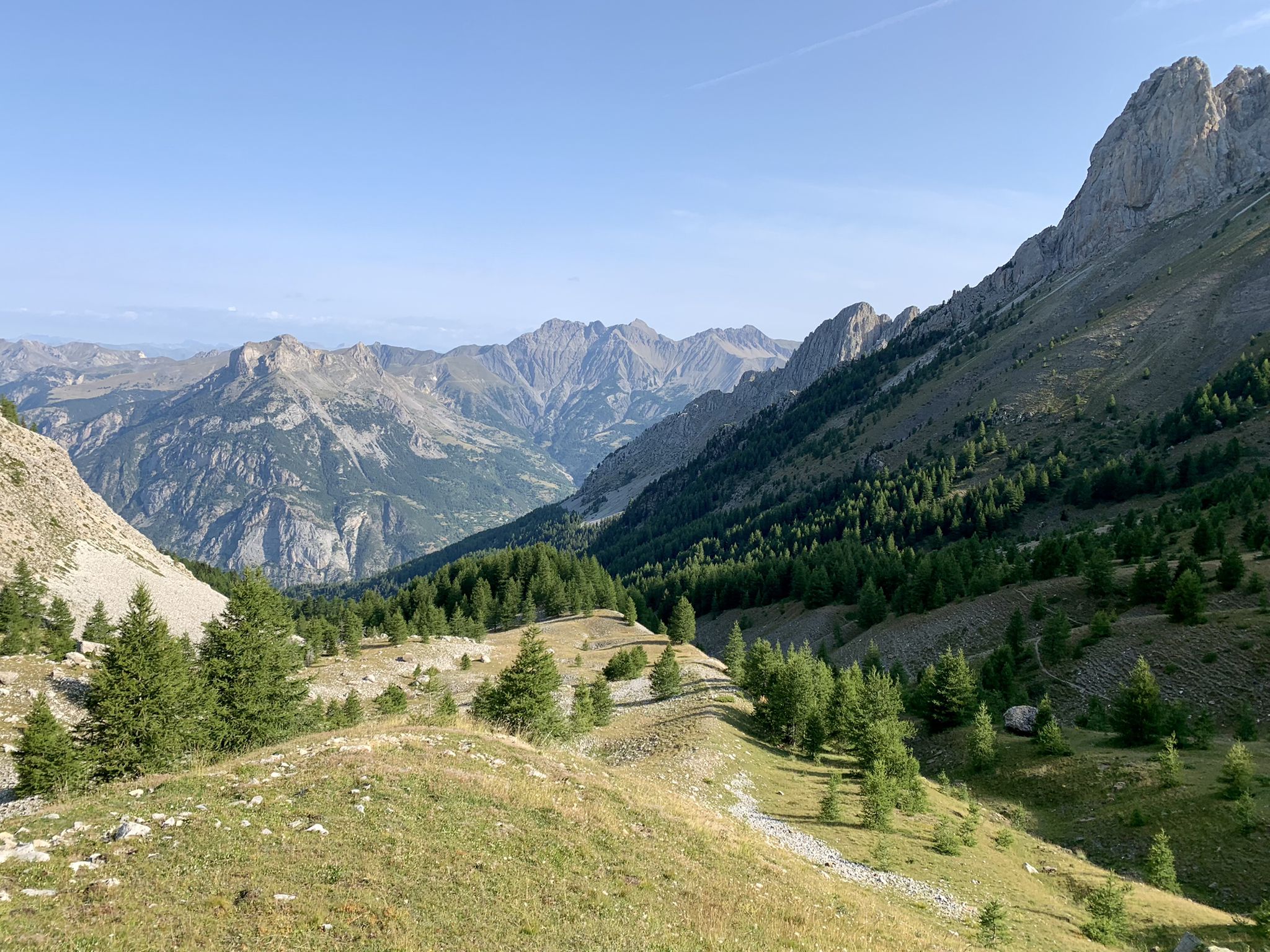
From the Alps to the Atlantic — GR 6
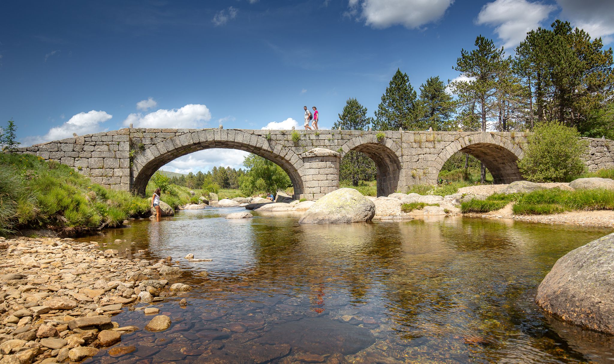
The most beautiful walks in Lozère
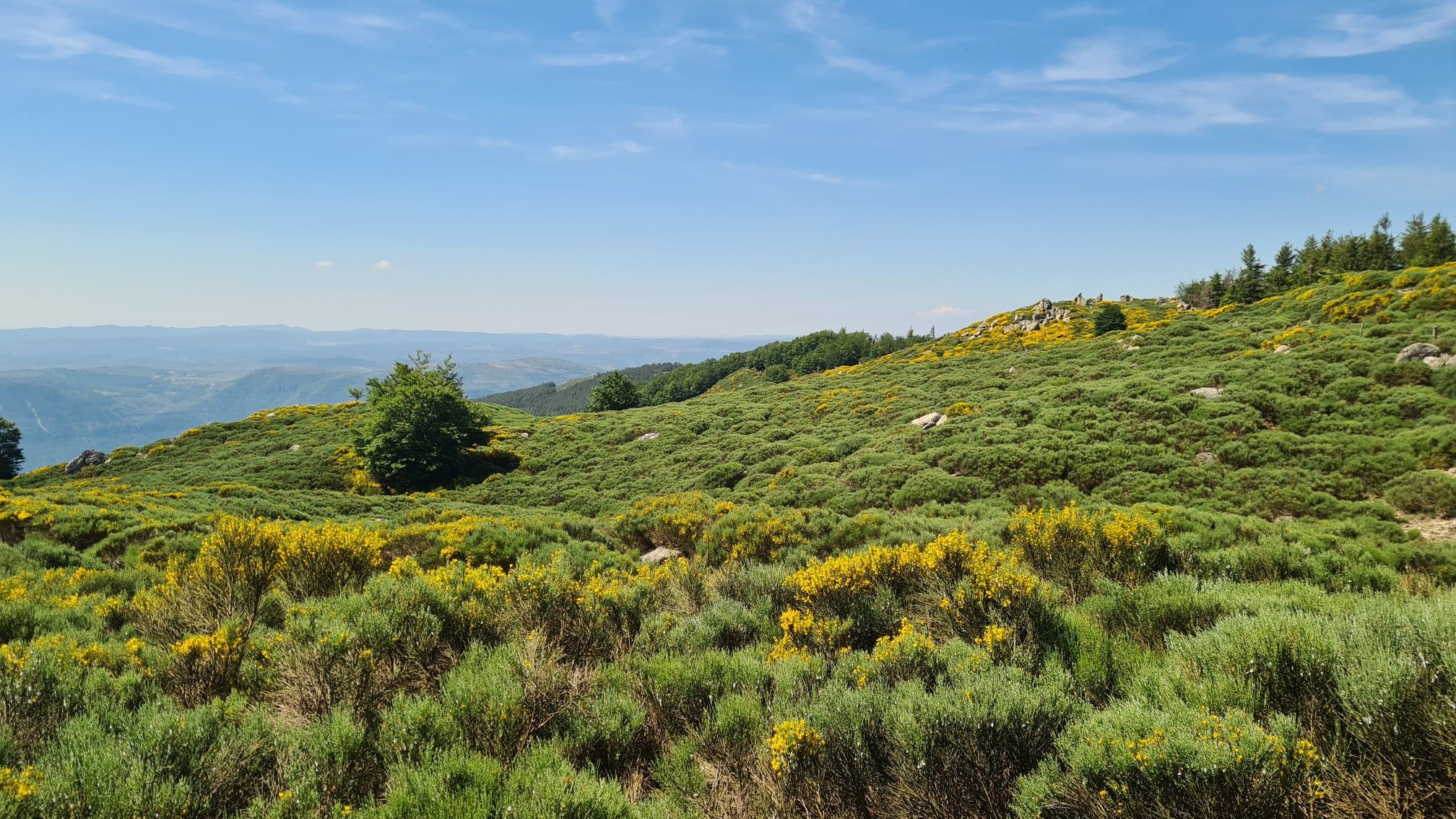
From L'Espérou to Lodève - Explore the Cevennes on the GR 71
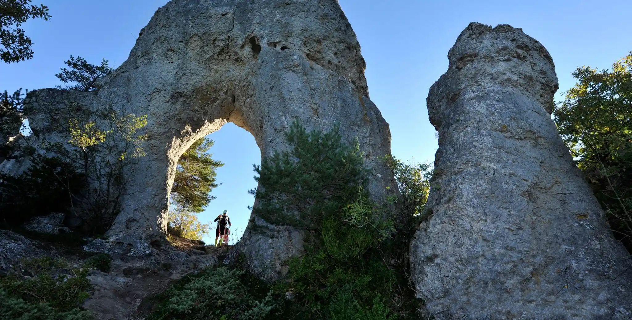
Meyrueis to La Roque-Sainte-Marguerite – GR 62A in France
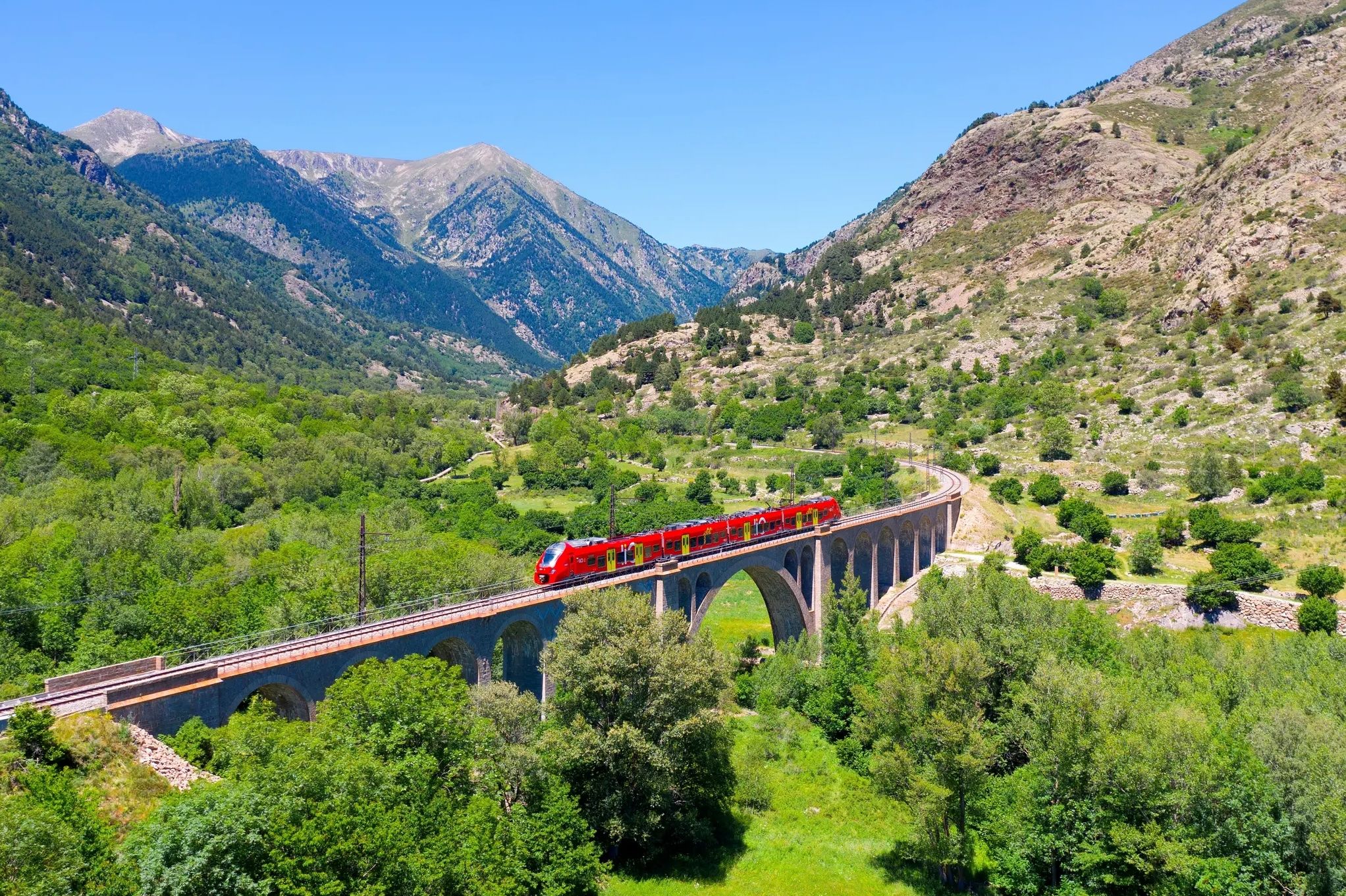
Occitanie Rail Tour – by train and on foot through Occitania
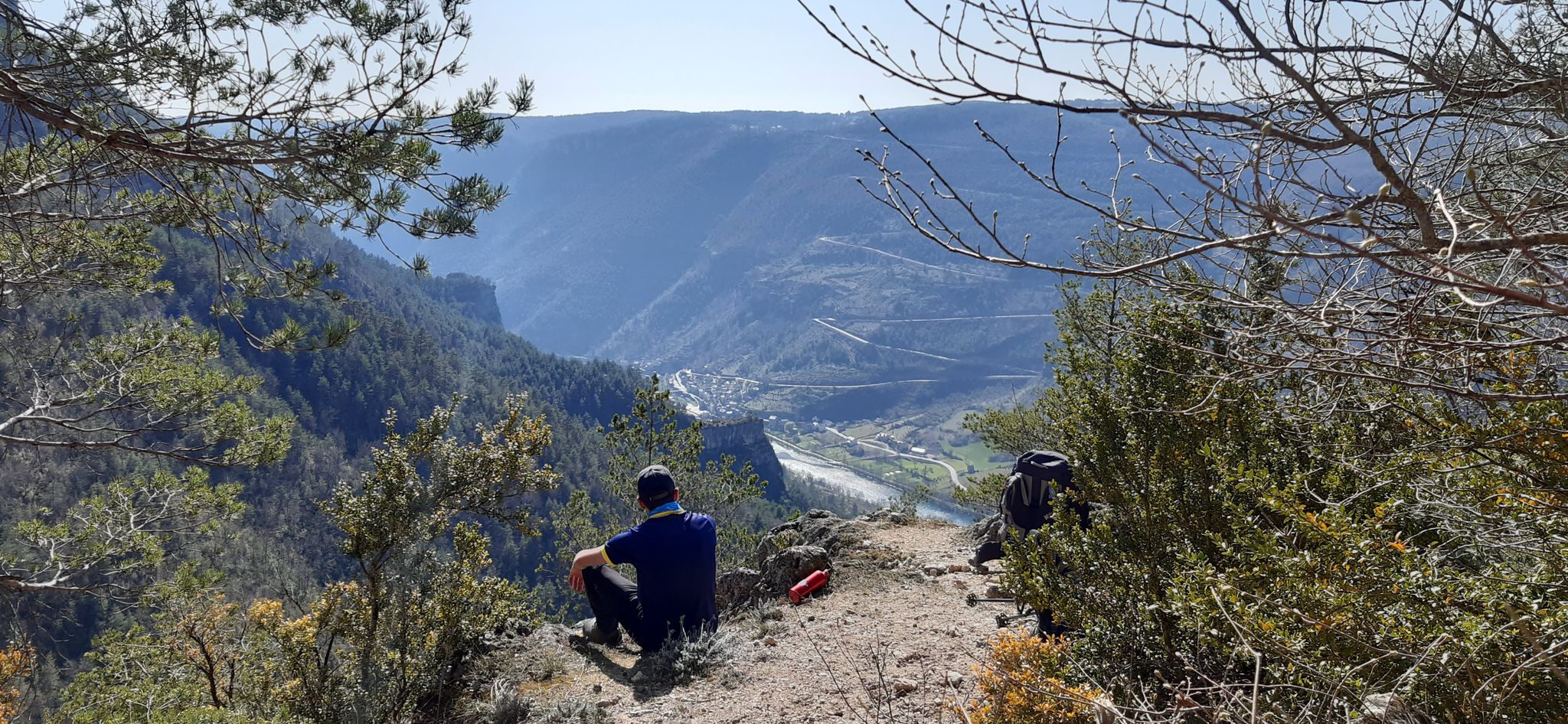
Walking to the rhythm of the Causses — The GRP Tour du Causse Méjean

The Grande traversée du Massif Central by gravel bike
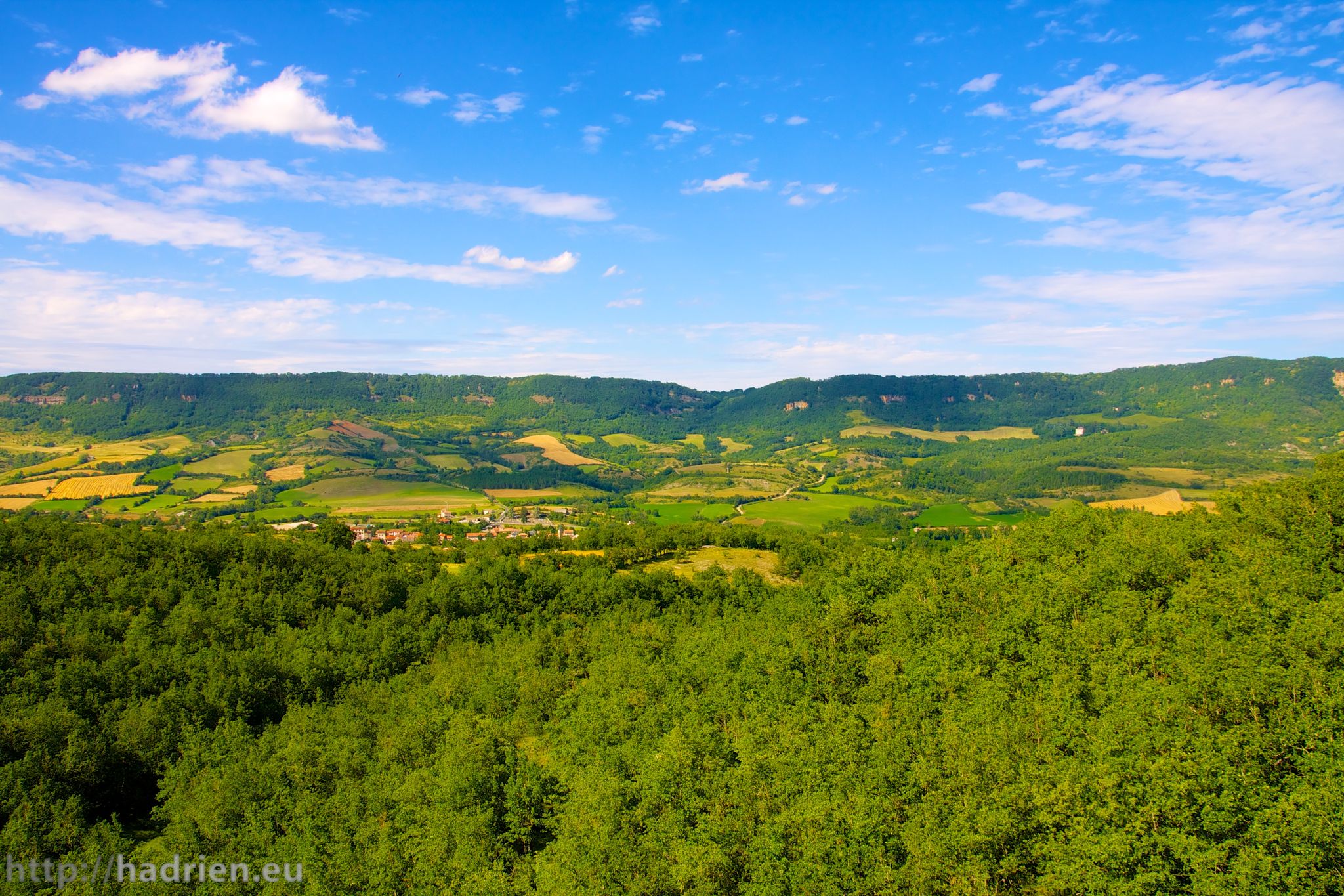
Tour of Aveyron — The mountains and valleys of Roquefort and Aligot
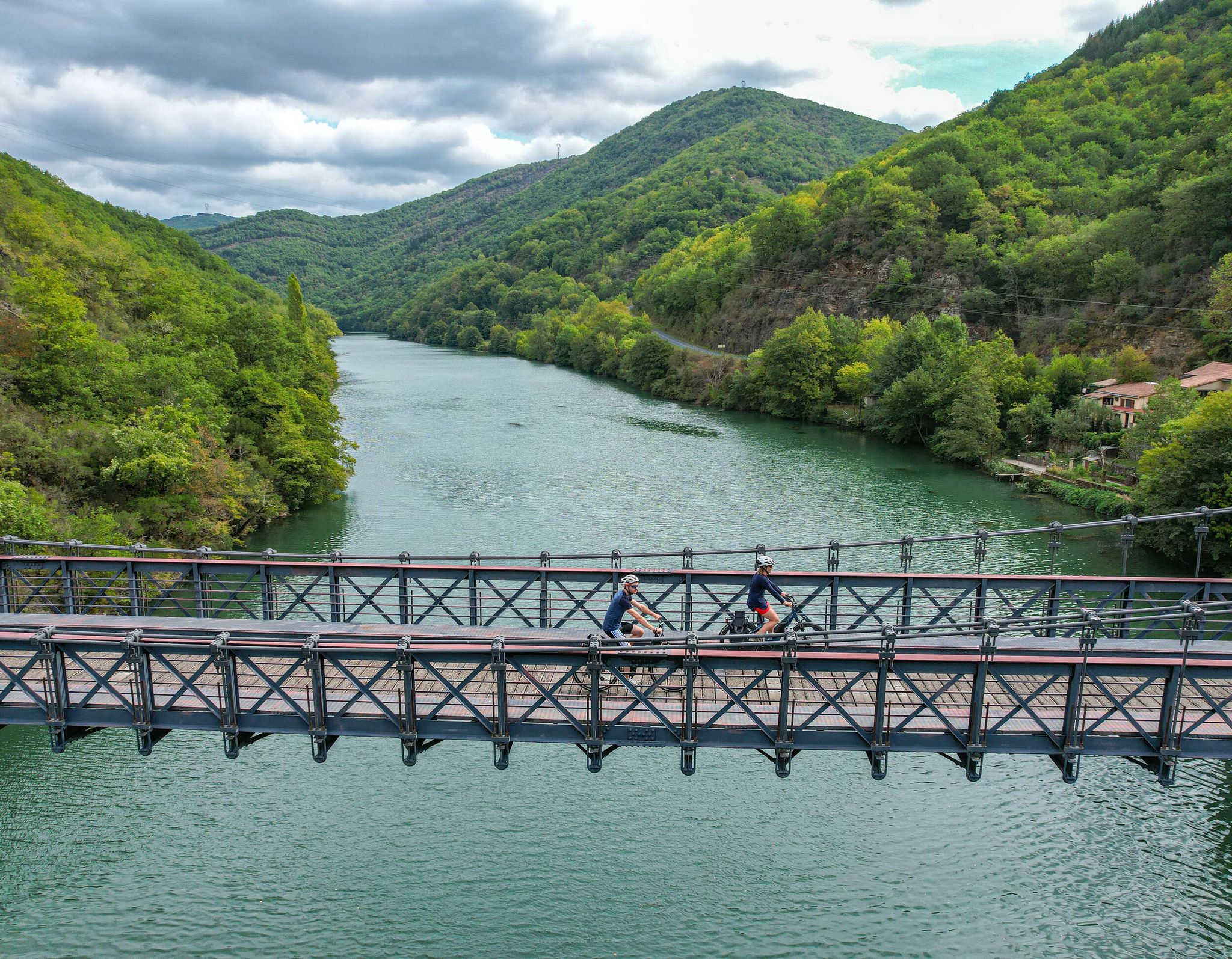
The "Most Beautiful Villages of France" in Aveyron
Other adventures in Grands Causses


Tips from the Community

The Baoumas fountain springs from a real cavity carved into the limestone wall, at the foot of the rock that bears the castle of Creissels. The name of the place, which comes from the Occitan « bauma » (cave, rock shelter), thus very accurately describes what is observed: the water gushes out in a lively jet from the darkness of the small cave, before falling back into a basin with green reflections, surrounded by a stone wall. This configuration is not an architectural coincidence: it testifies, like the Pesquié basin a little further in the village, to the karstic functioning of the Creissels subsoil, where water infiltrated into the Larzac limestones re-emerges through multiple springs and cavities, to the point of having earned the village the nickname of « Venice of the Larzac ».
3
0
In the heart of Creissels, the Pesquié basin forms a surprisingly vast body of water (1,000 m²) compared to the modest stream that feeds it. Its name, which comes from Occitan and means "fish pond", recalls the ancient purpose of the place, linked to fish farming. The town hall now occupies the premises of a former fish farm. The basin is fed by the Creissels waterfall, a typical resurgence of the karst functioning of the Larzac: the water infiltrated into the limestones of the plateau reappears after an underground journey. In September 2023, the municipality dredged the basin and created a spawning ground for brown trout (Salmo trutta). The restoration has borne fruit, as trout have since recolonized the body of water, alongside amphibians and other aquatic organisms that find refuge in the surrounding wetland.
2
0
Three stone crosses, erected in a line on this small rise above Creissels, give the place its name, but in reality there are five in total: a fourth is hidden below, a fifth watches further on at a crossroads, on the side of the old Tournal mill. This marking, inherited from centuries-old rural piety, perhaps outlined an ancient processional path now fallen into oblivion. The panorama unfolds in 360°: to the west, the Tarn valley and the Millau viaduct with its fine suspended line and its seven pylons. To the south, the landscape closes in on the Boundoulaou cirque, from which one can distinguish, on the right, the limestone outcrop of Puech de Fayssel which closes the natural amphitheater carved into the edge of the causse. To the north, the town of Millau unfolds almost entirely below, dominated in its center by the massive silhouette of Puech d'Andan, whose summit plateau is divided into two distinct parts. Further to the right stands the Pouncho d'Agast, a pyramid-shaped promontory that marks the beginning of the Causse Noir at an altitude of 841 m.
3
0
Installed on rue de la Fontaine, this washhouse testifies to the importance of water in the daily life of the former village of Creissels. Fed by springs that descend from the causse and cross the town, it was once used by the inhabitants for washing clothes. It is part of a hydraulic system that is particularly present in Creissels, where waterfalls, canals, mills, and springs have long contributed to the village's activity. The washhouse thus recalls a time when water was both a domestic resource and an essential element of the local economy.
3
0
In the heart of old Creissels, this medieval dwelling is known as the “Prieuré”. The two-story building most likely dates from the first half of the 13th century. Each level has a large hall lit by two twin bays, whose capitals rest on polygonal columns. The travertine construction bears witness to the medieval civil architecture of the village. The ground floor, called the Pierre Granier hall, is named after a painter, sculptor, and architect born in Creissels around 1679. It is now used as a cultural space and regularly hosts temporary exhibitions and various events. A copy of one of his works, The Holy Family, is also presented there. To understand the historical importance of Creissels, one must place the village within its former political context: it was the capital of a viscounty, which entered the house of Rodez in 1270 before passing to the Armagnacs in 1304. This viscounty lasted until 1497. The castle, perched on the rocky spur overlooking the village, still recalls this seigneurial function and Creissels' strategic position in the Tarn valley.
3
0
On the Maladrerie, the Parc Aquavagues transforms an arm of the Tarn into a real whitewater stadium. Over about 300 m, waves, currents and counter-currents allow for kayaking, rafting and hydrospeeding, up to the training of experienced practitioners and competitions.
3
0
On the Maladrerie, the Parc Aquavagues transforms an arm of the Tarn into a true whitewater stadium. Over approximately 300 m, waves, currents, and counter-currents allow for kayaking, rafting, and hydrospeeding, catering to both experienced practitioners and competitions.
3
0

dene schöne reduen in E dnegeGschöne rednuw eniE
0
0
Frequently Asked Questions
How many bus-accessible hiking trails are available in Grands Causses?
There are over 100 hiking routes in Grands Causses that are accessible by bus, offering a wide range of experiences. You'll find trails suitable for various fitness levels, from easy strolls to challenging long-distance treks.
What kind of landscapes and natural features can I expect to see on bus-accessible hikes in Grands Causses?
Hikes accessible by bus in Grands Causses traverse diverse and dramatic landscapes. You can expect to explore vast limestone plateaus known as 'causses' (like Larzac, Méjean, Noir, and Sauveterre), deep river gorges such as the Gorges du Tarn and Gorges de la Jonte, and brightly colored forested hills. The region is also famous for its unique karst features, including eroded rock formations like the Cité des Pierres and the Chaos of Nîmes-le-Vieux, as well as impressive viewpoints.
Are there any family-friendly bus-accessible hiking options in Grands Causses?
Yes, Grands Causses offers several family-friendly bus-accessible hikes. With over 30 easy routes available, many are suitable for families looking for less strenuous walks. These often feature gentle terrain and opportunities to explore charming villages or natural curiosities without excessive elevation gain. Always check the specific route details for suitability with children.
What are some notable landmarks or points of interest I can discover along bus-accessible trails?
Many bus-accessible trails lead to or pass by fascinating landmarks. You might encounter historical sites like Saint-Marcellin or Sainte-Eulalie-de-Cernon Templar Commandery. Natural monuments such as Le Roc Nantais or the Giant's Foot Rock are also accessible. The region's cultural heritage includes traditional stone huts ('cazelles') and ancient farmhouses scattered across the plateaus.
Are there any challenging bus-accessible hikes for experienced hikers?
Absolutely. For experienced hikers, there are numerous challenging bus-accessible routes, including 25 difficult trails. An example is the demanding View of the Jonte Valley – Vertigo Viewpoint loop from Peyreleau, which covers over 16 km with significant elevation gain, offering spectacular views over the Jonte Valley. Another challenging option from Peyreleau is the View of the Jonte Valley – Arcs de Saint-Pierre loop.
What is the best time of year to go hiking from bus stations in Grands Causses?
The Grands Causses region is generally pleasant for hiking from spring through autumn. Spring brings wildflowers and milder temperatures, while autumn offers beautiful foliage. Summer can be warm, especially in the gorges, but higher plateaus provide cooler air. Winter hiking is possible, but some routes may be affected by snow or ice, particularly at higher elevations, so checking local conditions is advisable.
Can I bring my dog on bus-accessible hiking trails in Grands Causses?
Many trails in Grands Causses are dog-friendly, but it's essential to check specific regulations for the Grands Causses Regional Nature Park and any protected areas you plan to visit. Dogs are generally welcome on leash, especially to protect local wildlife like griffon vultures and mouflons, and to respect agricultural areas. Always carry water for your dog and clean up after them.
Are there any circular bus-accessible routes available?
Yes, many bus-accessible routes in Grands Causses are designed as circular loops, allowing you to start and end your hike at the same bus stop. An example is the Original signpost – Fontaneilles Pedestal loop from Rivière-sur-Tarn, which offers a moderate challenge and returns you to your starting point. Another is the View of Pouncho d'Agast – Millau loop from Millau, a moderate route with great views.
What public transport options are available to reach hiking trailheads in Grands Causses?
The primary public transport network for reaching trailheads in Grands Causses is the liO Occitanie bus service. These routes connect major towns like Millau to smaller villages and points of interest within the region, providing access to numerous hiking starting points. It's recommended to consult the latest liO Occitanie timetables for specific routes and schedules to plan your journey effectively.
What do other hikers enjoy most about hiking from bus stations in Grands Causses?
The komoot community highly rates hiking in Grands Causses, with an average score of 4.5 stars. Reviewers often praise the stunning and varied landscapes, the sense of wildness and unspoiled nature, and the excellent network of well-maintained trails. The accessibility via public transport is also frequently highlighted as a major convenience, allowing hikers to explore without needing a car.
Are there any bus-accessible hikes that offer views of the Gorges du Tarn or Gorges de la Jonte?
Absolutely. Many bus-accessible trails provide breathtaking views of these iconic gorges. For instance, the L'Ermitage Saint-Michel – View of Le Rozier loop from Peyreleau offers stunning vistas over the Gorges du Tarn and Jonte confluence. The region's topography means that many routes starting from villages nestled within or above the gorges will feature spectacular panoramic views.
Most popular routes in Grands Causses
Most popular attractions in Grands Causses

Get inspired with the komoot mobile app


Explore more
Browse the best Hikes in other regions.
