The best traffic-free bike rides around Scurelle
4.6
(1328)
9,404
riders
47
rides
No traffic touring cycling routes around Scurelle are primarily found within the Valsugana valley, an alluvial plain characterized by the Brenta River and surrounding hills. The region offers diverse landscapes, from flat riverside paths to more challenging ascents into valleys like Val di Sella and Val Campelle. The Valsugana Cycle Path provides a significant network of car-free routes, following the Brenta River and connecting various towns. This area features a mix of agricultural land, forests, and mountain backdrops, suitable for…
Last updated: October 3, 2026
4.7
(78)
587
riders
Moderate bike ride. Good fitness required. Mostly paved surfaces. Suitable for all skill levels.
4.9
(25)
256
riders
23.7km
01:22
110m
110m
Easy bike ride. Great for any fitness level. Mostly paved surfaces. Suitable for all skill levels.

4.8
(16)
91
riders
143km
08:46
1,020m
1,020m
Hard bike ride. Very good fitness required. Mostly paved surfaces. Suitable for all skill levels.
4.6
(64)
327
riders
Hard bike ride. Very good fitness required. Mostly paved surfaces. Suitable for all skill levels.
65
riders
30.1km
02:11
590m
590m
Hard bike ride. Very good fitness required. Mostly paved surfaces. Suitable for all skill levels.
Get access to more routes and recommendations from other explorers.
Already have an account?
Our route recommendations are based on thousands of hikes, rides, and runs completed by other people on komoot.
Start today with a free account
Your next adventure awaits.
Popular around Scurelle

The Path of Peace – journey into Trentino's history
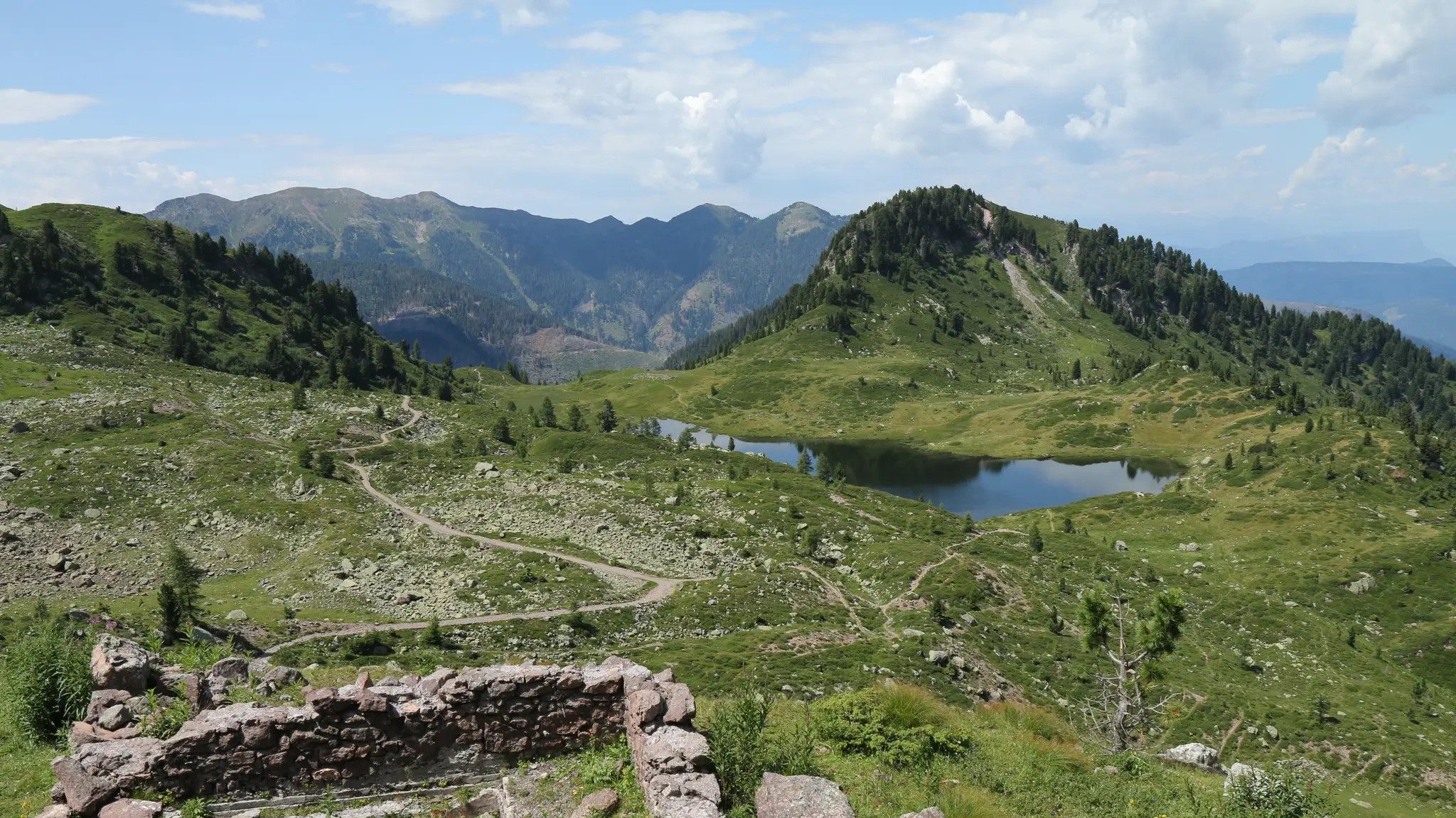
A hut hike through Italy’s Lagorai massif – Alta Via Lagorai Panorama
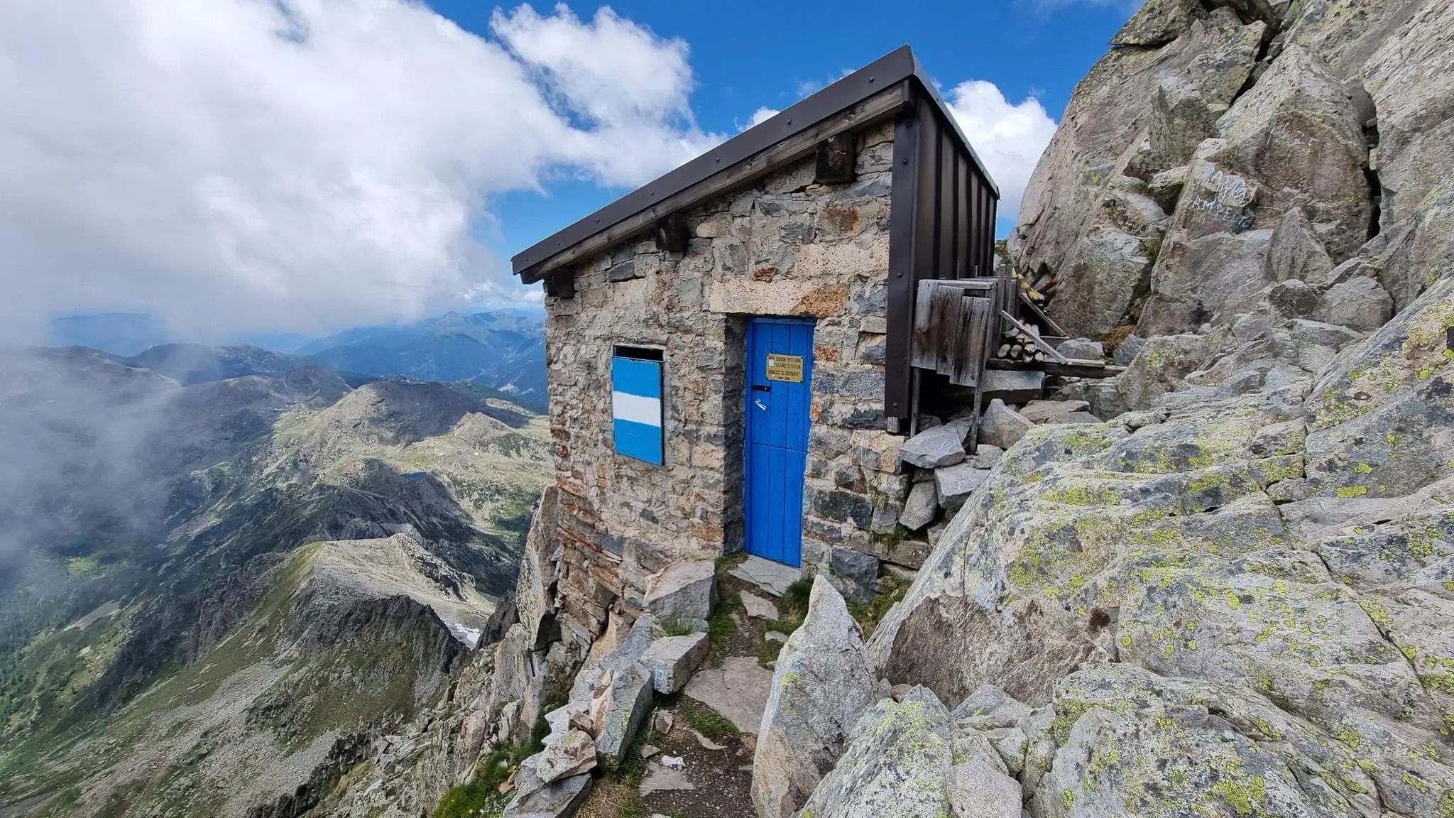
Alta Via del Centenario – hike among vestiges of the First World War in Italy
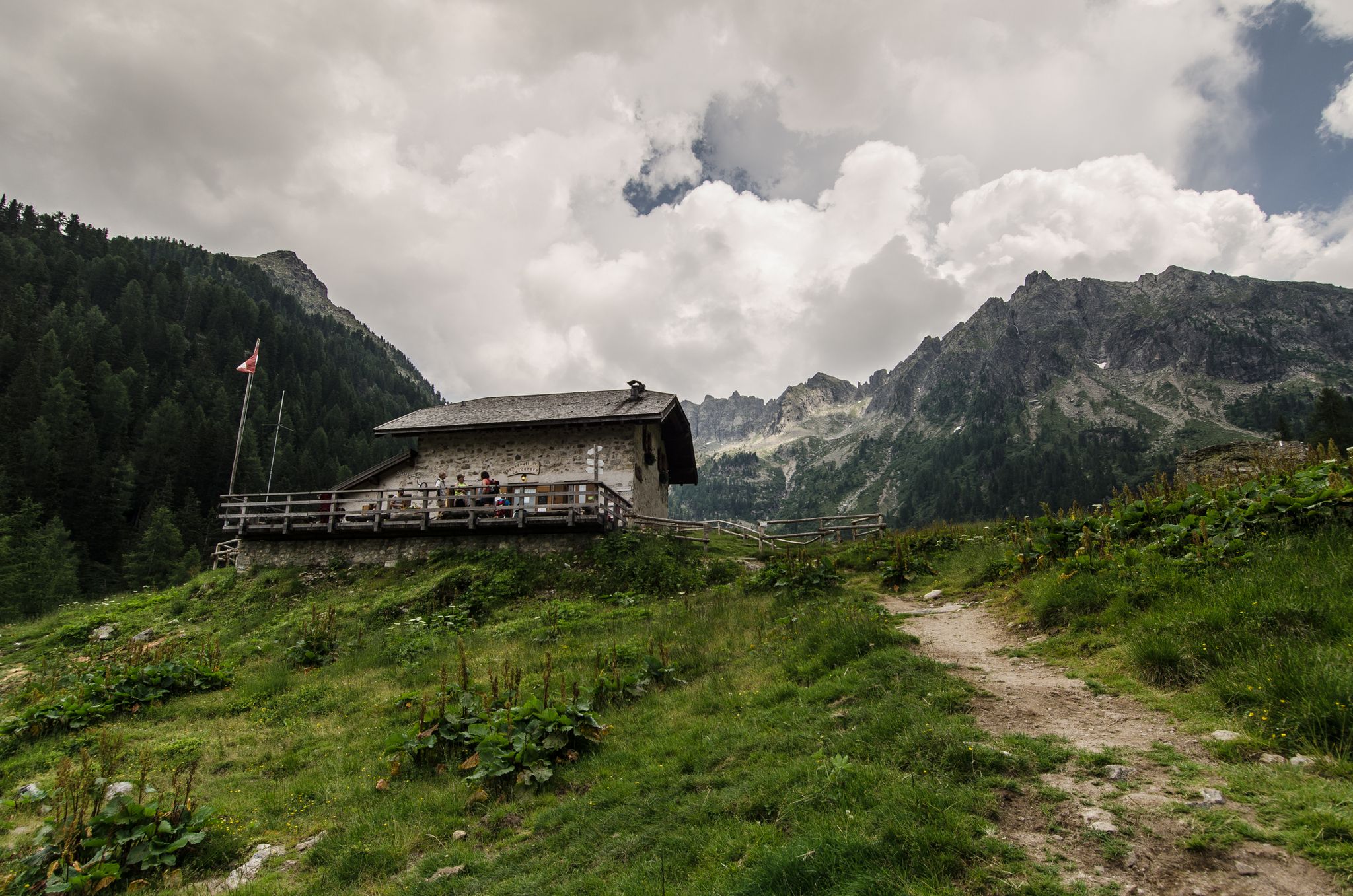
Alta Via del Granito – amidst memories of the Great War
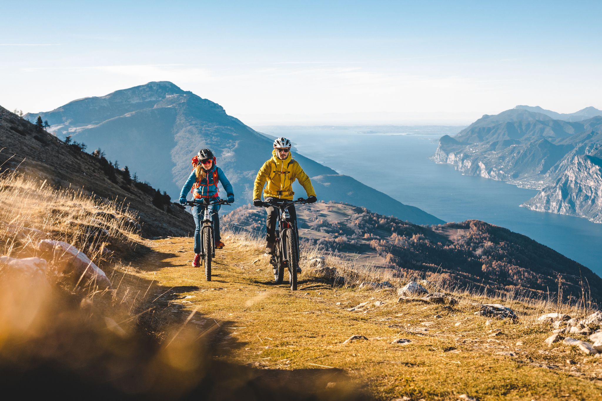
Mountain biking in Trentino in Italy – 10 varied routes
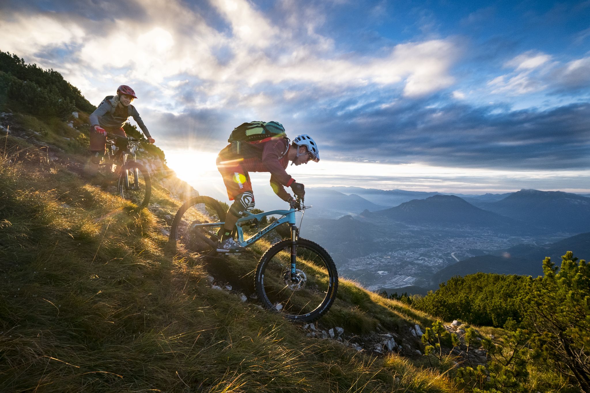
Mountain Biking in Trentino — from the Dolomites to Lake Garda

Traffic-free bike rides around Scurelle

Traffic-free bike rides around Scurelle
Other adventures around Scurelle


Tips from the Community

Beautiful road closed to traffic
0
0

Heavily frequented cycle path, but which is not overcrowded at least in late summer/autumn. Away from the cycle path, there are also beautiful paths to discover if you don't shy away from a few meters of altitude.
0
0

Artistic encounters with arte povera along the route
0
0

The Brenta cycle path is a beautiful bike route (trekking bikes, mountain bikes, and gravel bikes are recommended, as there are both paved and light dirt sections on the banks) that connects the mountains of Trento to the lagoon of Venice, passing through Bassano del Grappa and Padua. It is a total of about 175 kilometers long, has comfortable roads, and is easy for everyone to cycle.
0
0
Frazione di Grigno, very well-kept. The Valsugana cycle path passes through here, and forest roads start from here to climb the mountains towards Enego.
0
0
The Brenta cycle path restored after the devastating landslide. Regular and essential carriageway, coolness from the shade and the Brenta river flowing alongside
0
0
Essential carriageway. Cool due to the shade and the water of the Brenta river flowing alongside
0
0

Die Geschichte von Borgo Valsugana ist eng mit der Geschichte der Valsugana als wichtiges Durchgangstal verknüpft. Borgo Valsugana wurde zum ersten Mal im 1. Jahrhundert nach Christus als Ausugum, eine römische Militärstation an der Via Claudia Augusta, erwähnt. Archäologische Funde lassen aber den Schluss zu, dass die Gegend um Borgo bereits vorher besiedelt war.[2] Bis zum 11. Jahrhundert ist von der Geschichte Borgos wenig übermittelt. Erst mit der Entstehung des Fürstbistums Trient und der Aufteilung der Valsugana auf die beiden Bistümer Trient und Feltre ändert sich dies. So regierte von Borgo aus ein Statthalter des Bischofs von Feltre die zu Feltre gehörenden Teile der Valsugana. Im 14. Jahrhundert erhielt der Ort als Magnifica Comunità di Borgo ein eigenes Gemeindestatut vom Bischof in Feltre.[3] Die weltliche Herrschaft Feltres endete 1228 mit Ezzelino III. da Romano, der die Valsugana und Feltre besetzte. Danach folgte eine wechselvolle Phase, in der der Ort und das Tal unter verschiedene Einflusssphären gerieten. 1412 besetzten schließlich die Truppen Friedrichs IV. die Valsugana, womit auch Borgo unter die Herrschaft der Habsburger geriet. 1487 fiel die Valsugana im Krieg zwischen der Republik Venedig und Sigmund von Tirol kurzzeitig an Venedig. In der Folgezeit wurde das Tal immer wieder in den Konflikt zwischen dem Haus Habsburg und der Lagunenrepublik einbezogen, der erst 1516 beendet wurde.[4] 1609 bewilligte Erzherzog Maximilian III. den Bezirken der unteren Valsugana eigene Statuten. Damit begann eine Phase des wirtschaftlichen und kulturellen Aufschwungs auch von Borgo Valsugana. Dieser war gekennzeichnet durch die Einführung der Seidenraupenzucht, die zu einer bedeutenden Einkommensquelle wurde. Während dieser blühenden Zeit wurden im 18. Jahrhundert einige Paläste und auch die Pfarrkirche von Borgo Valsugana errichtet.[4] Nach der wechselvollen napoleonischen Zeit, in der man zeitweise unter französischer, österreichischer, bayerischer und italienischer Herrschaft stand, gelangte Borgo Valsugana mit dem Wiener Kongress wieder zu Österreich. Die österreichische Herrschaft wurde bis 1919 nur kurzfristig 1866 während des Dritten Italienischen Unabhängigkeitskrieges unterbrochen, als italienische Truppen unter General Giacomo Medici über die Valsugana bis vor die Tore Trients vorstießen. Dabei kam es am 23. Juli bei Borgo auch zu einem Scharmützel zwischen den österreichischen und italienischen Truppen. Mit dem am 12. August 1866 abgeschlossenen Waffenstillstand von Cormòns und dem Rückzug der Italiener endete dieses kurze Zwischenspiel aber wieder.[5] Strahlentherapiebehandlung in den 1950er Jahren im Krankenhaus Borgo Valsugana Bis zum Ersten Weltkrieg ist die Geschichte des Ortes hauptsächlich von verschiedenen Naturkatastrophen gekennzeichnet. So wurden 1862 bei einem Brand 159 Häuser zerstört, während 1882 eine verheerende Überschwemmung das Tal heimsuchte, der große Teile der Ackerflächen zum Opfer fielen, was eine erste größere Auswanderungswelle zur Folge hatte. Die Emigration verstärkte sich Ende des Jahrhunderts noch, als die Seidenraupenzucht durch die Pébrine-Krankheit so gut wie zum Erliegen kam. Einen Großteil der Auswanderer zog es in die Stadt Bludenz im Vorarlberg, zu der heute eine Städtepartnerschaft besteht.[4] Ein Aufschwung gelang erst wieder zu Beginn des 20. Jahrhunderts mit der beginnenden Industrialisierung. 1903 wurde Borgo an das Stromnetz angeschlossen. 1913 das Stadttheater, das Teatro Sociale, eingeweiht. 1914 wurde Borgo Valsugana zur Garnisonsstadt des k.u.k. Feldjägerbataillons 22. Mit Beginn des Ersten Weltkrieges wurden auch die wehrfähigen Männer von Borgo Valsugana eingezogen und Anfang August 1914 an die Ostfront geschickt, wo die meisten in den ersten beiden Kriegsmonaten in Galizien bei Lemberg, bei Przemyśl bzw. im Serbienfeldzug fielen. Mit dem Kriegseintritt Italiens am 23. Mai 1915 wurde Borgo Valsugana geräumt und faktisch zum Niemandsland, das im August 1915 von italienischen Truppen zwischenzeitlich besetzt wurde und mit der österreichisch-ungarischen Südtiroloffensive im Mai 1916 wieder unter österreichische Kontrolle kam. Kurz vor Kriegsende besetzten am 2. November 1918 schließlich italienische Truppen den Ort, der mit dem Vertrag von Saint-Germain 1919 zum Königreich Italien gelangte.[6] In der Nachkriegszeit begann der langsame Wiederaufbau des zu einem Drittel vollständig zerstörten Ortes, während die verbliebenen Gebäude zum Großteil schwer beschädigt waren. Im Zweiten Weltkrieg wurde Borgo Valsugana nur marginal gegen Kriegsende bei der Bekämpfung italienischer Widerstandsgruppen und bei der Bombardierung der Valsugana-Bahn durch die Alliierten berührt. Am 2. Mai 1945 zog die US-Armee in Borgo ein.[4] Zu den bedeutendsten Ereignissen nach 1945 zählt die Eröffnung der Strahlentherapieabteilung im Krankenhaus von Borgo Valsugana 1953, die als erste in Europa mit einer Kobaltkanone zur Behandlung von Tumoren arbeitete.[7] Im November 1966 wurden der Ort und das Umland von schweren Überschwemmungen getroffen, die beachtlichen Schäden hinterließen. Der danach erfolgte Wiederaufbau prägt noch heute das Ortsbild. Quelle Wikipedia
0
0
Frequently Asked Questions
How many no-traffic touring cycling routes are available around Scurelle?
There are nearly 40 dedicated no-traffic touring cycling routes around Scurelle. These routes cater to various skill levels, with 6 easy, 7 moderate, and 25 difficult options to explore the beautiful Valsugana valley and surrounding areas.
What kind of landscapes can I expect on these routes?
The routes around Scurelle traverse diverse landscapes within the Valsugana valley. You'll find picturesque rides along the Brenta River, through alluvial plains, and into charming valleys like Val di Sella and Val Campelle, which feature verdant pastures, forests, and mountain huts. Many routes offer stunning views of the surrounding mountains and natural features.
Are there any easy, family-friendly no-traffic cycling routes near Scurelle?
Yes, the Valsugana Cycle Path is largely flat and ideal for families, e-bikes, and handcycles, offering a relaxed ride along the Brenta River. For a specific easy loop, consider the Fontanazzo Biotope – Riverside landscape near Grigno loop from Strigno, which is just over 28 km with minimal elevation gain.
What are some notable attractions or landmarks I can see along the routes?
Many routes offer access to interesting sites. In Val di Sella, you can visit Arte Sella, an open-air museum with natural art installations. Historically, the region was crossed by the ancient Roman road, Via Claudia Augusta Altinate. You might also encounter historical sites from World War I in areas like Val Campelle. For mountain views, highlights include Portule Peak and Mount Ortigara Memorial.
What do other touring cyclists enjoy most about cycling in Scurelle?
The area is highly rated by the komoot community, with an average score of 4.6 stars from nearly 700 visitors. Reviewers often praise the quiet, traffic-free nature of the routes, the stunning natural scenery of the Valsugana valley, and the well-maintained cycle paths that cater to various abilities.
Are there any circular no-traffic cycling routes available?
Yes, several routes are designed as loops, allowing you to start and end in the same location. An example of a challenging circular route is the Val Caldenave – Rifugio Crucolo loop from Carzano, which covers over 40 km with significant elevation gain, offering a rewarding experience through alpine landscapes.
What amenities are available along the Valsugana Cycle Path?
The Valsugana Cycle Path is well-equipped for cyclists. You'll find service points for bike repair, dedicated rest areas, and tourist information centers along its 80-kilometer stretch. Additionally, there are picnic areas with tables and barbecue facilities, particularly along the Maso torrent in Val Campelle, perfect for a relaxing stop.
Can I reach the no-traffic cycling routes using public transport?
The Valsugana valley is generally well-connected. While specific public transport options to every trailhead may vary, the main Valsugana Cycle Path is accessible from various towns along its route, which are often served by local buses or trains. It's advisable to check local transport schedules for the most up-to-date information on reaching your desired starting point.
Are there any challenging no-traffic routes for experienced touring cyclists?
Absolutely. The region offers 25 difficult routes for experienced cyclists. For instance, the Fort Tagliata della Scala – Riverside landscape near Grigno loop from Borgo Valsugana Est is a demanding 99 km route with over 860 meters of elevation gain. Another challenging option is the Riverside landscape near Grigno – Forcella Pass loop from Strigno, covering 75 km with over 1600 meters of ascent.
What is the best time of year to go touring cycling in Scurelle?
The best time for touring cycling in Scurelle and the Valsugana valley is typically from spring through autumn. During these seasons, the weather is generally pleasant, and the natural landscapes are at their most vibrant. While some lower-lying paths might be accessible in winter, many higher-elevation routes, especially those in Val di Sella and Val Campelle, may be affected by snow and colder conditions.
Are there opportunities to see wildlife or unique flora on these routes?
Yes, especially in areas like Val Campelle and Val Caldenave, which are known for their rich biodiversity. Cyclists might spot chamois, stags, marmots, and roe deer. The valleys also boast beautiful flora, including gentian and rhododendron, particularly vibrant in the spring and early summer months.
Most popular routes around Scurelle
Most popular attractions around Scurelle

Get inspired with the komoot mobile app


Explore more
Browse the best Cycling routes in other regions.
