The best traffic-free bike rides around Malonno
4.5
(91)
5,660
riders
3
rides
No traffic road cycling routes around Malonno traverse the mountainous terrain of Val Camonica, featuring significant peaks and the tranquil Oglio River. The landscape is defined by verdant mountains and valleys, with elevations reaching over 2,300 meters at peaks like Piz Tri and Pizzo Palone. This area, bordering the Adamello Park, offers a rugged environment with various mountain passes, including Campelli Pass at 1,889 meters. Cyclists can expect a mix of challenging ascents and scenic descents through forests and meadows.
…Last updated: July 13, 2026
5.0
(2)
100
riders
20.4km
01:30
790m
780m
Moderate road ride. Good fitness required. Mostly well-paved surfaces and easy to ride.
5.0
(1)
24
riders
25.0km
01:57
1,010m
1,010m
Hard road ride. Very good fitness required. Mostly well-paved surfaces and easy to ride.

Sign up for free
7
riders
11.5km
00:53
440m
440m
Moderate road ride. Good fitness required. Mostly well-paved surfaces and easy to ride.
Our route recommendations are based on thousands of hikes, rides, and runs completed by other people on komoot.
Start today with a free account
Your next adventure awaits.
Login or Signup





Tips from the Community

A village in the upper Camonica Valley at the confluence of the Oglio and Ogliolo rivers. Tonale and Val di Sole to the east, Aprica and Valtellina to the west, and Mortirolo to the north.
0
0

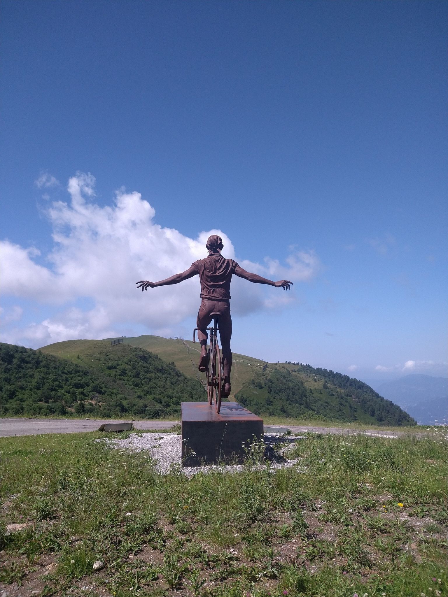
The Mortirolo is a legendary climb of the Giro d'Italia. The most famous is the climb from Mazzo di Valtellina – twisty, steep, and long, with an average gradient of around 10–11%, reaching 18–19% in some sections. Many cyclists consider it one of the most challenging climbs in the Alps, alongside the Stelvio and Gavia. The Mortirolo Pass is where such luminaries as Marco Pantani have won or lost stages of the Giro.
1
0
The pass is located at an altitude of 1,852 meters above sea level. It connects the Valtellina Valley (Bormio) with the Camonica Valley (Monno). The pass lies in the heart of the Retiche Mountains, in an area full of mountain lakes and steep Alpine landscapes.
1
0
Passo del Mortirolo (also known as Passo della Foppa) is one of the most demanding Alpine passes in Italy, especially famous in the world of cycling.
1
0

it is on the Mortirolo pass towards Grosio
0
0

historic bridge of Edolo, from which you take the cycle/pedestrian path to Ponte di Legno/Tonale
0
0

A very tough climb from any side you choose to do it.
21
0

Whichever side you pedal, the pass is always a spectacle of nature…
4
0
Frequently Asked Questions
How many traffic-free road cycling routes are available around Malonno?
There are 5 dedicated traffic-free road cycling routes around Malonno listed in this guide, offering a range of experiences for different skill levels.
What is the best time of year to enjoy traffic-free road cycling in Malonno?
The mountainous region of Val Camonica, where Malonno is located, is best for road cycling during the warmer months, typically from late spring through early autumn. This period offers more stable weather conditions and clear mountain passes, avoiding snow and ice at higher elevations.
Are there any challenging traffic-free road cycling routes for experienced riders?
Yes, Malonno offers several challenging traffic-free routes. For instance, the Incudine – Monno Village loop from Incudine is rated difficult, covering over 55 km with more than 2,100 meters of elevation gain. Another demanding option is the Mural on Roadside Building loop from Sonico, which features over 1,200 meters of ascent.
What kind of natural features or landmarks can I expect to see along these routes?
The routes around Malonno offer stunning views of the Val Camonica, with its 'blue hills' and verdant mountains. You'll encounter picturesque landscapes shaped by the Oglio River and have opportunities to see significant peaks like Piz Tri and Pizzo Palone. Some routes may also offer glimpses of the Adamello Park's rugged terrain. For specific mountain passes, consider exploring highlights like Campelli Pass or Vivione Pass.
Are there any moderate traffic-free road cycling options suitable for intermediate riders?
Absolutely. Routes like the Monno Village – Downhill descent of the Mortirolo loop from Monno offer a moderate challenge, covering around 20 km with over 800 meters of elevation gain. The Edolo Town Center – Edolo loop from Edolo is another moderate option, spanning about 23 km with over 450 meters of ascent.
What do other cyclists say about the traffic-free road cycling routes in Malonno?
The komoot community highly rates the cycling experiences around Malonno, with an average score of 4.6 out of 5 stars. Reviewers often praise the quiet roads, the challenging climbs, and the breathtaking mountain scenery of the Val Camonica.
Are there any circular traffic-free road cycling routes available?
Yes, all the routes listed in this guide are circular, allowing you to start and finish at the same point. For example, the Climb to Lago dei Caprioli – View of the Valley loop from Incudine is a circular route offering scenic views.
Can I find parking facilities near the starting points of these traffic-free routes?
While specific parking details for each route's starting point are not always listed, Malonno and nearby villages like Incudine, Monno, Sonico, and Edolo typically offer public parking options. It's advisable to check local parking availability upon arrival, especially in smaller villages.
Is public transport available to access the traffic-free cycling routes around Malonno?
Malonno is situated in Val Camonica, which is served by regional train lines and bus services. The nearest train station is likely in Edolo or other larger towns in the valley. These services can often accommodate bicycles, though it's recommended to check with the specific transport provider for their bike carriage policies and schedules, especially during peak seasons.
Are there any specific cycle paths or dedicated traffic-free sections I should know about?
The Val Camonica region is known for its cycle paths, such as sections of the Oglio Cycle Path and the Ciclabile Media Val Camonica. While this guide focuses on specific road cycling routes, these dedicated paths often provide excellent traffic-free sections suitable for road bikes, connecting various towns and offering a different kind of cycling experience.
Are there any cafes or places to stop for refreshments along the traffic-free routes?
Many of the routes pass through or near small villages like Monno, Incudine, Sonico, and Edolo, where you can typically find local cafes, bars, or small shops for refreshments. It's always a good idea to carry sufficient water and snacks, especially on longer or more remote sections of the routes.
Most popular attractions around Malonno

Get inspired with the komoot mobile app


Explore more
Browse the best Road cycling routes in other regions.
