The best traffic-free bike rides around Magliolo
4.4
(1196)
24,067
riders
14
rides
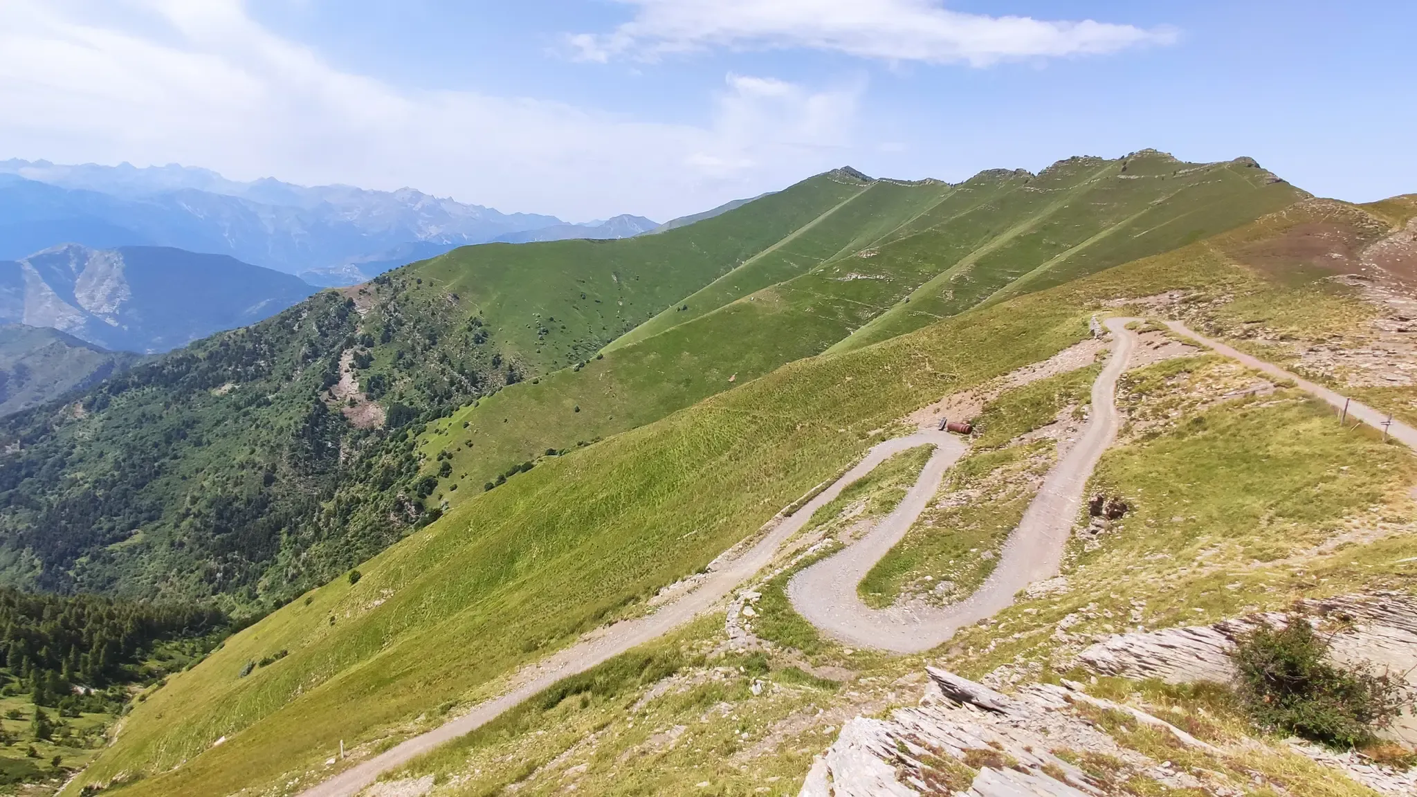
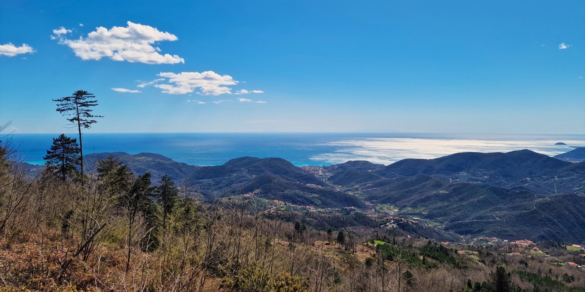
No traffic touring cycling routes around Magliolo, a municipality in Liguria, Italy, offer a blend of challenging terrain and scenic landscapes. The region is characterized by coastal hills, dense woodlands, and elevated passes, providing varied experiences for cyclists. Its mountainous terrain features significant elevation changes, with routes traversing historical fortifications and offering panoramic views. The average elevation in Magliolo is 505 meters, with terrain ranging from 59 meters to a maximum of 1,207 meters.
Best no traffic touring cycling routes…
Last updated: October 31, 2026
4.7
(3)
120
riders
5.12km
00:20
20m
20m
Easy bike ride. Mostly paved surfaces.
4.2
(5)
96
riders
14.3km
01:15
350m
350m
Hard bike ride. Good fitness required. You may need to push your bike for some segments of this route.

20
riders
25.9km
02:39
690m
690m
Hard bike ride. Very good fitness required. Mostly paved surfaces.
16
riders
Hard bike ride. Very good fitness required. You may need to push your bike for some segments of this route.
5.0
(1)
22
riders
18.8km
01:54
550m
550m
Hard bike ride. Very good fitness required. Mostly paved surfaces.
Get access to more routes and recommendations from other explorers.
Already have an account?
Our route recommendations are based on thousands of hikes, rides, and runs completed by other people on komoot.
Start today with a free account
Your next adventure awaits.

Other adventures around Magliolo


Tips from the Community

spectacular, stop to visit this small spectacular village!!
0
0

The best way to enjoy the Piazza is from one of the many cafes surrounding the square. Pure dolce vita.
0
0

Piazza Vittorio Emanuele II is the beating heart of Finalmarina, one of the three villages that make up the municipality of Finale Ligure. The square, surrounded by elegant buildings with 17th-century facades and historic porticoes, is a gathering place and the main setting for city events and celebrations. The Arch of Triumph, which stands majestically in the square, is actually known as the Arch of Margaret of Spain. It was erected in 1666, not to celebrate a military triumph, but to welcome and honor the passage of Margaret Theresa of Spain. The young Infanta, daughter of King Philip IV of Spain, was traveling to Vienna to marry Emperor Leopold I of Austria and become empress. The arch, which marks the eastern entrance to Finalmarina, is a symbol of Ligurian history and its connection to Spanish rule, particularly the Marquisate of Finale. Another interesting fact is that the arch is sometimes confused with the Arch of Carlo Alberto, another monumental arch in Finale Ligure, erected in 1836 in honor of the visit of King Carlo Alberto of Savoy. The Arch of Margherita is an iconic landmark, once flanked by customs buildings and today, standing alone, stands out for its beauty and historical significance.
1
0

A beautiful spot. Be sure to climb a few more meters, and the view over the coast will open up. The small peak above the picnic area is also definitely worth climbing on clear days. It's a quarter of an hour to the top (just follow one of the trails), and you'll have a view all the way to the Alps.
1
0

A beautiful and charming square brimming with life. Surrounded by bars and restaurants.
0
0

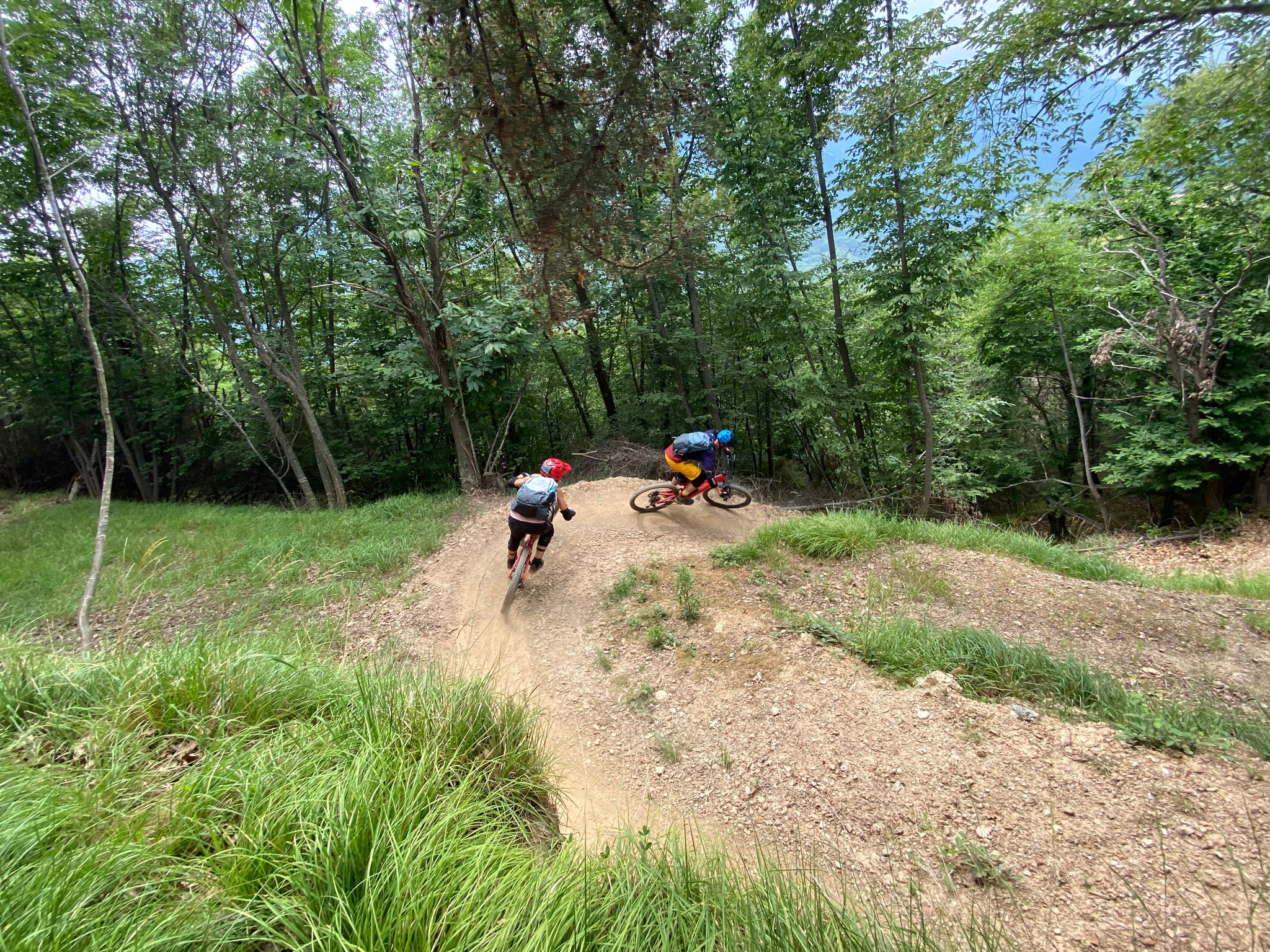
eMTB video by GIOCAL: https://youtu.be/zvN8xhHThR4?si=S7JxwQ9Fj-pgoCjs
1
0

Free top-up Excellent service Easy to find QR code to download free maps
0
0

Shuttles will go here if needed. Simply book a DIN ticket and say you'd like to go to the Forte.
1
0
Frequently Asked Questions
How many no-traffic touring cycling routes are available around Magliolo?
There are 12 dedicated no-traffic touring cycling routes around Magliolo, offering a variety of experiences for cyclists. These routes are designed to provide a quieter, more immersive journey through the region's diverse landscapes.
What is the general difficulty level of no-traffic touring cycling routes in Magliolo?
The no-traffic touring cycling routes in Magliolo primarily cater to experienced cyclists, with 7 routes rated as difficult and 4 as moderate. There is also 1 easy route available. The terrain often includes significant elevation changes, traversing mountainous areas and coastal hills.
What kind of terrain can I expect on these no-traffic touring cycling routes?
You can expect a diverse range of terrain, from challenging ascents through mountainous areas and elevated passes to scenic descents. Routes often traverse dense woodlands and coastal hills, with many sections on mostly paved surfaces. The average elevation in Magliolo is 505 meters, ensuring varied and engaging rides.
What is the best time of year for no-traffic touring cycling in Magliolo?
Spring and autumn are generally the most pleasant seasons for touring cycling in Magliolo. The weather is milder, and the natural scenery is particularly vibrant. Summers can be warm, especially on exposed climbs, while winters might present cooler temperatures at higher elevations.
Are there any notable natural features or viewpoints along the no-traffic touring cycling routes?
Yes, the routes offer access to stunning natural features and panoramic viewpoints. You can find highlights such as the Summit of Monte Carmo, the Monte Piccaro summit, and the Panoramic View of the Varigotti Cliffs and Ligurian Sea. The region also features impressive caves like Arma delle Mànie Prehistoric Cave and Grotte di Borgio Verezzi.
What historical sites or landmarks can I explore while cycling in Magliolo?
Magliolo's routes often pass by significant historical and cultural sites. You might encounter fortifications like the Melogno Central Fort. The region is also home to the Santuario di Nostra Signora della Guardia, and the Silvio Lai Paleontological Museum. Nearby, the charming Finalborgo Historic Center offers a glimpse into local culture.
Are there any circular no-traffic touring cycling routes available?
Yes, many of the no-traffic touring cycling routes in Magliolo are designed as loops. For example, the difficult Giogo di Giustenice Viewpoint – Cabanun Trail Junction loop from Giustenice offers a challenging circular ride with significant elevation gain.
Is parking available near the starting points of these no-traffic touring cycling routes?
Parking availability varies by route starting point. Many routes begin in or near towns like Magliolo, Giustenice, or Borgio Verezzi, where public parking options are generally available. It's advisable to check specific route details for recommended parking areas.
How can I access Magliolo's cycling routes using public transport?
While Magliolo itself is an inland municipality, nearby coastal towns like Finale Ligure and Pietra Ligure are accessible by train, and local bus services connect to Magliolo. However, public transport options for carrying bicycles directly to route starting points may be limited, so planning ahead is recommended.
Are there family-friendly no-traffic touring cycling routes in Magliolo?
While most routes are rated moderate to difficult, there is 1 easy no-traffic touring cycling route available. For families, it's best to review the specific route details, including distance and elevation, to ensure it matches the family's cycling ability. The region's challenging terrain means that many routes are better suited for experienced riders.
Can I bring my dog on these no-traffic touring cycling routes?
The suitability for dogs depends on the specific route and local regulations. While many natural areas are dog-friendly, some trails might have restrictions or be challenging for pets due to terrain or length. Always keep dogs on a leash and ensure they are well-hydrated, especially on longer rides.
What do other touring cyclists enjoy the most about touring cycling in Magliolo?
The area is highly rated by the komoot community, with an average score of 4.48 stars. Reviewers often praise the challenging climbs, the panoramic views from elevated passes, and the sense of tranquility on these no-traffic routes. The diverse landscapes, from dense woodlands to coastal hills, are frequently highlighted as a major draw.
Most popular attractions around Magliolo

Get inspired with the komoot mobile app


Explore more
Browse the best Cycling routes in other regions.
