The best traffic-free bike rides around Elloughton Cum Brough
4.3
(34)
267
riders
17
rides
No traffic touring cycling routes around Elloughton Cum Brough offer a diverse landscape for cyclists, characterized by the gently rolling hills of the Yorkshire Wolds to the north and the flatter terrain of the Humber Estuary to the south. The Wolds feature chalk formations and well-drained valleys, providing elevation gains and scenic vistas, while the estuary and riverine areas near the River Ouse and Trent offer less strenuous, long-distance options. Woodlands and wetland areas further enhance the natural appeal, providing…
Last updated: November 14, 2026
4.8
(4)
29
riders
63.1km
03:47
100m
100m
Moderate bike ride. Good fitness required. Mostly paved surfaces.
4.0
(2)
44
riders
67.7km
03:53
90m
90m
Moderate bike ride. Good fitness required. Mostly paved surfaces.

4.9
(7)
31
riders
21.8km
01:14
70m
70m
Easy bike ride. Mostly paved surfaces.
21
riders
50.2km
03:06
350m
350m
Moderate bike ride. Good fitness required. Mostly paved surfaces.
18
riders
37.1km
02:14
70m
70m
Moderate bike ride. Good fitness required. Mostly paved surfaces.
Get access to more routes and recommendations from other explorers.
Already have an account?
Our route recommendations are based on thousands of hikes, rides, and runs completed by other people on komoot.
Start today with a free account
Your next adventure awaits.
Popular around Elloughton Cum Brough

Other adventures around Elloughton Cum Brough

Tips from the Community

Really picturesque village, grab a coffee at South Cave serviced
0
0

Faxfleet is a little village sited on fenland where the rivers Ouse and Trent meet to form the Humber. From the path on the bank, there are sweeping views to the Wolds, and across to RSPB Blacktoft Sands nature reserve, Alkborough Flats and the largest sand bank in the Humber, Whitton Sands.
2
0
The Market Weighton Navigation starts at Weighton Lock on the Humber Estuary and did run to Canal Head, a couple of miles short of Market Weighton. Today, the Canal is only navigable at best as far as Sod House Lock, 6 miles upstream.
2
0
Built in 1825 by James Pigott Pritchett and Charles Watson for the Saltmarshe family, eponymous owners of the neighbouring village from 1313- 1974. https://en.wikipedia.org/wiki/Saltmarshe_Hall
2
0
This is a woodland and wetland reserve with 600m of mainly grass footpaths which create a circular route and can be very muddy during winter. There are lots of tree roots and uneven surfaces across the reserve. Footpaths tend to be narrow. There is one gate onto the reserve at the footpath entrance which is closed from April to July to protect breeding birds.
2
0

Archetypal English village with its large village green surrounded by pretty stone houses and two pubs. The open beck runs in front of the houses in Eastgate, each with their own private bridge. The banks of the stream are planted with flowers. A large flat circular stone on the green known as the whipping stone is probably the base of the old market cross but rumour has it that a man was whipped to death here in 1624. https://www.newbaldparishcouncil.gov.uk/about-newbald/
1
0
All Saints’ Church is 12th Century in origin and was restored by the Victorians in the late 19th Century. It is situated almost at the foot of Brantingham Dale in an open aspect. It is without doubt one of the most picturesque churches in the East Riding of Yorkshire. A fairly detailed history of the church compiled in 1965 and updated in 2014 is available as a pdf at https://d3hgrlq6yacptf.cloudfront.net/5f115a55324ea/content/pages/documents/1573224210.pdf
1
0
Frequently Asked Questions
How many no traffic touring cycling routes are available around Elloughton Cum Brough?
There are 18 dedicated no traffic touring cycling routes around Elloughton Cum Brough. These routes offer a variety of experiences, from easy rides to more challenging adventures across the region's diverse landscapes.
What kind of terrain can I expect on these touring cycling routes?
The terrain varies significantly. To the north, the
Yorkshire Wolds offer gently rolling hills with chalk formations and valleys, providing elevation gains up to 1500 feet for more challenging rides. Towards the south, near the Humber Estuary and River Ouse, the landscape is flatter, ideal for less strenuous, long-distance cycling.
Are there any easy touring cycling routes suitable for beginners or families?
Yes, there are 5 easy touring cycling routes. A great option is the Triton Inn loop from Brantingham, which is 21.5 km long with moderate elevation gain, winding through picturesque villages and typically taking just over an hour to complete.
What are some notable landmarks or attractions I can see along the routes?
Many routes pass by historical and natural attractions. You might encounter historic churches like St Helen’s Church in Welton or All Saints' Church in Brantingham. The iconic Humber Bridge offers impressive views, and natural spots like North Cave Wetlands Nature Reserve are also accessible.
Are there any longer, more challenging touring routes for experienced cyclists?
Yes, there are 3 difficult routes and 10 moderate routes. For a moderate challenge, consider the Howden Minster Ruins – Boothferry Bridge loop from Brough, which covers 63 km and features scenic river views and historic sites.
What is the best time of year to go touring cycling in Elloughton Cum Brough?
The region is enjoyable for cycling throughout much of the year. Spring and summer offer pleasant weather for exploring the Wolds and riverine landscapes. Autumn provides beautiful scenery with changing foliage. Always check local weather forecasts before heading out.
Are there any circular touring cycling routes available?
Many of the touring cycling routes in the area are designed as loops, allowing you to start and finish at the same point. Examples include the River Ouse – Howden Minster Ruins loop from Brough and the Weighton Lock – Triton Inn loop from Brough.
What do other touring cyclists enjoy most about the routes in Elloughton Cum Brough?
The area is highly rated by the komoot community, with an average score of 4.41 stars. Reviewers often praise the quiet roads, diverse scenery ranging from rolling Wolds to tranquil river paths, and the opportunity to discover charming villages and historical sites along the way.
Are there places to stop for refreshments like cafes or pubs along the routes?
Yes, many routes pass through or near villages that offer opportunities for refreshments. The Triton Inn loop from Brantingham, for instance, suggests a stop at the Triton Inn itself. The region's villages often have local pubs and cafes where you can take a break.
What are the typical distances and durations for these no traffic touring cycling routes?
The routes vary in length and duration. You can find shorter rides like the Triton Inn loop from Brantingham at 21.5 km (approx. 1 hour 13 minutes), up to longer excursions such as the River Ouse – Howden Minster Ruins loop from Brough, which is 67.7 km and takes around 3 hours 53 minutes.
Are there any routes that offer good viewpoints or scenic vistas?
Absolutely. The Yorkshire Wolds provide excellent scenic vistas from their higher elevations. Additionally, routes near the Humber Estuary offer expansive views of the riverine landscape. The Broomfleet Viewpoint – Faxfleet Nature Reserve loop from Brough specifically highlights a viewpoint along its path.
Most popular routes around Elloughton Cum Brough
Most popular attractions around Elloughton Cum Brough
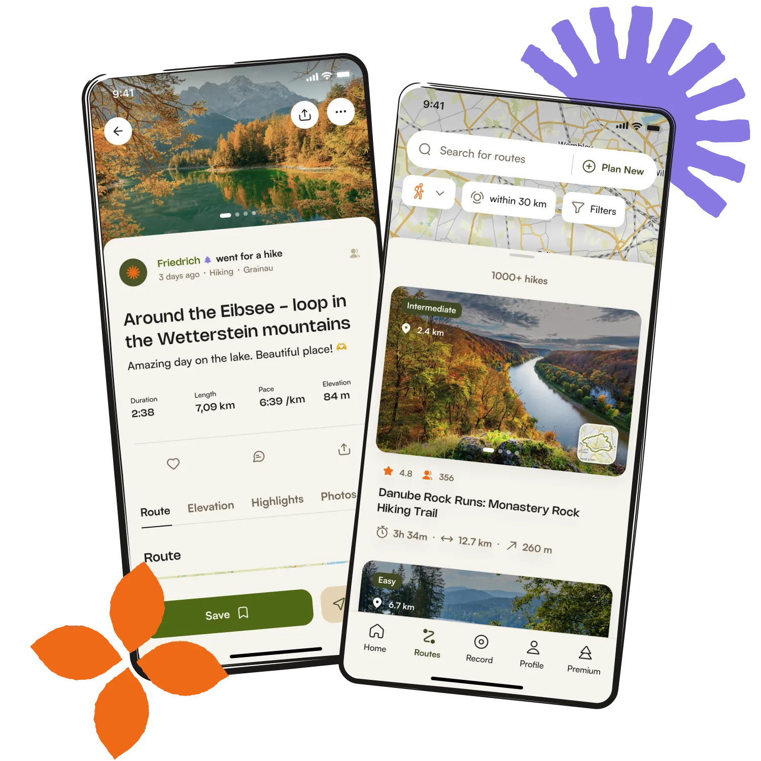
Get inspired with the komoot mobile app


Explore more
Browse the best Cycling routes in other regions.