The best hikes from bus stations around Balsham
4.5
(382)
4,447
hikers
12
hikes
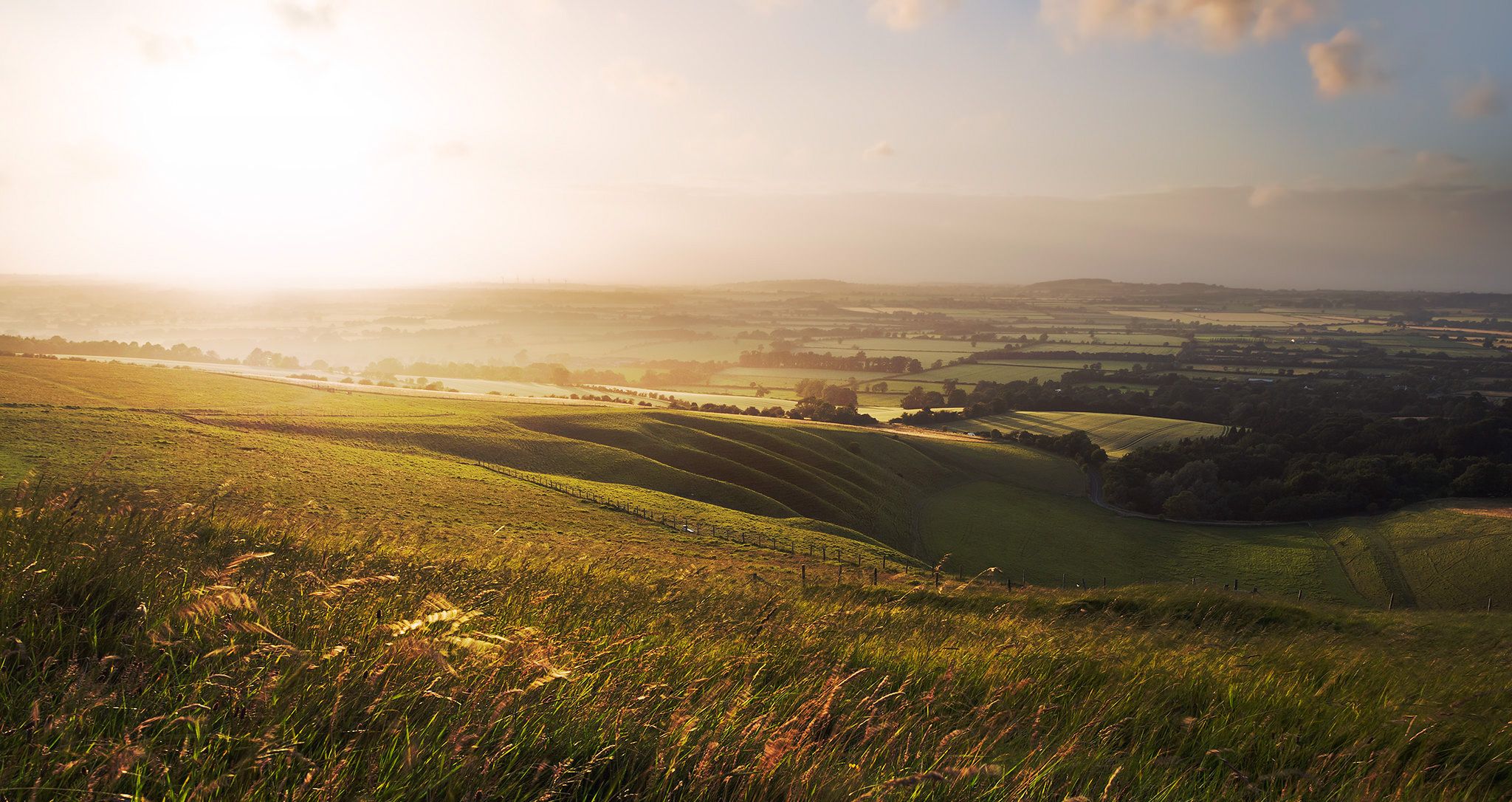
Hiking around Balsham offers trails through undulating farmland, prominent chalk ridges, and accessible woodlands. The terrain provides varied environments for walkers, characterized by gently rolling agricultural lands and historical features like Fleam Dyke. These landscapes contribute to scenic views and diverse hiking experiences.
Best bus station hiking trails around Balsham
- The most popular bus station hiking route is Hiking loop from Balsham, an easy 3.6 miles (5.8 km) trail that takes 1 hour 31 minutes to complete, offering accessible…
Last updated: July 14, 2026
5.0
(2)
25
hikers
22.4km
05:53
170m
170m
Hard hike. Very good fitness required. Easily-accessible paths. Suitable for all skill levels.
4.3
(3)
9
hikers
Moderate hike. Good fitness required. Easily-accessible paths. Suitable for all skill levels.

Sign up for free
8
hikers
5.76km
01:31
50m
50m
Easy hike. Great for any fitness level. Easily-accessible paths. Suitable for all skill levels.
7
hikers
18.7km
04:53
140m
140m
Moderate hike. Good fitness required. Easily-accessible paths. Suitable for all skill levels.
8
hikers
8.49km
02:14
70m
70m
Moderate hike. Good fitness required. Easily-accessible paths. Suitable for all skill levels.
Get access to more routes and recommendations from other explorers.
Sign up for free
Already have an account?
Our route recommendations are based on thousands of hikes, rides, and runs completed by other people on komoot.
Start today with a free account
Your next adventure awaits.
Login or Signup
Popular around Balsham
Other adventures around Balsham

Tips from the Community

The Roman Road in Cambridgeshire, also known as Worsted Street Roman Road, is a 12.4-hectare (31-acre) linear biological Site of Special Scientific Interest stretching from south-east of Cambridge to north of Linton.
0
0

Great off-road alternative to Hildersham Road to ride from the Roman Road to Balsham and continue onto the Frog End gravel road
0
0
From reports and the previous pictures, I had avoided this section of the Roman Road (east of Hildersham Rd) in the rainy, cold months. It does look nicer and ride well enough in the summer, albeit bumpy due to tractor tracks.
0
0

The best sausage roles and cakes, great coffee, Caters for vegans and vegetarians, indoor or out door seating
0
0


This village is supposed to have various pubs and cafes to stop at. In fact on a sunny Saturday afternoon in May this was the only place open - so they should be on Komoot as a reliable stop.
0
0

Great coffee & cake if you need some carbs. https://www.facebook.com/TheOldButchersBalsham/
0
0

Vegetarian sausage rolls are amazing, even better than the real thing.
0
0
Frequently Asked Questions
How many bus station hiking trails are available around Balsham?
There are over 10 hiking routes accessible from bus stations around Balsham, offering a variety of distances and difficulties for you to explore.
Are there easy hiking routes accessible from Balsham's bus stations?
Yes, Balsham offers several easy hiking routes that are perfect for a relaxed outing. For example, the Hiking loop from Balsham is an easy 5.7 km (3.5 mi) trail, and The Old Butchers Coffee Shop loop from Balsham is an even shorter 3.6 km (2.2 mi) easy option.
What kind of landscapes can I expect on bus-accessible hikes near Balsham?
Hikes around Balsham feature a diverse landscape of undulating farmland, prominent chalk ridges, and accessible woodlands. You'll experience scenic views across the Cambridgeshire countryside, with some routes traversing ancient earthworks like Fleam Dyke.
Are the bus station hiking trails around Balsham suitable for families?
Many of the trails are suitable for families, especially the easier routes with lower elevation gain. The gently rolling terrain and accessible paths make for enjoyable walks. Consider routes like the Hiking loop from Balsham for a family-friendly option.
Can I bring my dog on these bus-accessible hikes?
Yes, the majority of hiking trails around Balsham are dog-friendly. However, please be mindful of livestock in farmland areas and keep your dog on a lead where appropriate, especially during lambing season. Always ensure your dog is under control and respect local signage.
Are there any circular routes starting from Balsham's bus stations?
Yes, many of the routes are circular, allowing you to start and end your hike conveniently at the same point, often near a bus stop. Examples include Balsham Bridleway – The Old Butchers Coffee Shop loop from Balsham and The Roman Road loop from Balsham.
What interesting landmarks or attractions can I see on hikes near Balsham?
You can encounter several interesting features. The ancient Roman Road (Cambridge to Haverhill) is a significant historical earthwork that some trails follow. While not directly on every route, other nearby attractions include the Lode Watermill at Anglesey Abbey and the scenic Babraham Ford and Footbridge.
What do other hikers say about the bus station trails in Balsham?
The trails around Balsham are highly rated by the komoot community, with an average score of 4.5 stars from over 350 reviews. Hikers often praise the quiet, varied landscapes, well-maintained paths, and the accessibility of the routes from public transport.
Are there options for longer, more challenging hikes from Balsham's bus stops?
Absolutely. For those seeking a greater challenge, routes like The Roman Road loop from Balsham cover over 22 km (13.7 mi) with moderate elevation changes, offering a more strenuous day out. Another good option is The Roman Road – Balsham Bridleway loop from Balsham, which is 18.4 km (11.4 mi).
Are there places to eat or drink near the bus station hiking routes in Balsham?
Balsham village itself has local amenities, including pubs and cafes, which can be convenient starting or ending points for your hike. Some routes, like Balsham Bridleway – The Old Butchers Coffee Shop loop from Balsham, even incorporate a stop at a local coffee shop into their name, highlighting accessible refreshment options.
What is the best time of year to hike around Balsham?
Balsham offers enjoyable hiking experiences year-round. Spring brings blooming wildflowers and lush greenery, while autumn showcases beautiful foliage. Summer is ideal for longer days, and even winter walks can be charming, especially on crisp, clear days. Always check local weather conditions before heading out.
How long do the bus station hikes around Balsham typically take?
Hike durations vary significantly based on the route and your pace. Shorter, easy trails like The Old Butchers Coffee Shop loop from Balsham can be completed in just over an hour. Moderate routes, such as Balsham Bridleway – The Old Butchers Coffee Shop loop from Balsham, might take around 2.5 hours, while longer, more challenging hikes can extend to 5-6 hours.
Most popular routes around Balsham
Most popular attractions around Balsham

Get inspired with the komoot mobile app


Explore more
Browse the best Hikes in other regions.
