The best hikes from bus stations around High Littleton
4.5
(1342)
7,881
hikers
5
hikes
Bus station hiking trails around High Littleton offer access to the varied landscapes of the Somerset countryside. The region is characterized by rolling hills, expansive meadows, and diverse woodlands, including ancient Greyfield Wood. The Cam Valley and Cam Brook wind through the area, providing scenic backdrops for routes. Natural features like Greyfield Wood Waterfall and Stephen's Vale Waterfall are notable attractions.
Best bus station hiking trails around High Littleton
- The most popular bus station hiking route is Greyfield Wood Waterfall…
Last updated: November 14, 2026
4.7
(3)
36
hikers
Easy hike. Easily walkable paths.
5.0
(1)
6
hikers
7.08km
01:54
80m
80m
Easy hike. Easily walkable paths.

11
hikers
Easy hike. Easily walkable paths.
3
hikers
12.6km
03:20
130m
130m
Moderate hike. Good fitness required. Easily walkable paths.
5.0
(1)
4
hikers
Easy hike. Easily walkable paths.
Our route recommendations are based on thousands of hikes, rides, and runs completed by other people on komoot.
Start today with a free account
Your next adventure awaits.
Tips from the Community

We walked this route in June 2025 and there was so much vegetation near the waterfall and further along the route that we had to improvise the route. Otherwise it is a beautiful route with a lot of variety.
0
0

Stunning waterfall tumbling down a rocky cleft in the woods with pools for paddling.
0
0

A cosy country pub serving locally produced food and excellent beer (other drinks are very much available). The pub is very dog/mucky outdoor type friendly, so a perfect stop mid run. The Ring O' Bells is on the Butcombe Trail, a 47 mile (75 km) circular pub crawl around the Mendip Hills.
0
0

Stunning in midsummer with a beautiful mix of wildflowers and butterflies
0
0

Quiet road with great views. If you carry on a bit further you can see the Severn Bridge on a clear day.
0
0
A waterfall in a wood. Footpaths and kissing gates so be nice.
0
0
Frequently Asked Questions
How many bus station hiking trails are available in High Littleton?
There are 5 dedicated hiking trails accessible directly from bus stations around High Littleton. These routes offer a convenient way to explore the region's natural beauty without needing a car.
Are there any easy, family-friendly hikes from High Littleton bus stops?
Yes, High Littleton offers several easy, family-friendly options. The Greyfield Wood Waterfall – Stephen's Vale Waterfall loop from High Littleton is an easy 4.3 km route, perfect for a gentle experience through woodlands, connecting two local waterfalls. Another great choice is the 3.5 km Greyfield Wood Waterfall – Stephen's Vale Waterfall loop from High Littleton, also starting conveniently from the village.
Can I find circular hiking routes accessible by bus in High Littleton?
Absolutely. Many of the trails from High Littleton's bus stations are circular, allowing you to return to your starting point easily. For example, the Stephen's Vale Waterfall – Greyfield Wood Waterfall loop from High Littleton is a 5.1 km circular route that showcases the area's picturesque waterfalls and woodlands.
Are the bus station hiking trails in High Littleton dog-friendly?
The trails around High Littleton are generally dog-friendly, offering diverse terrain from open meadows to woodlands. However, as many routes pass through traditional farmland, it's crucial to keep dogs on a lead, especially near livestock, and to follow the Countryside Code. Always check specific route details for any restrictions.
What kind of landscapes can I expect to see on these hikes?
High Littleton's bus station hikes traverse a diverse landscape, including expansive meadows, varied woodlands like Greyfield Wood, and the winding Cam Brook. You'll encounter traditional farmland, often with views of the Cam Valley, and experience the peaceful atmosphere of ancient woodlands rich in biodiversity.
Are there any waterfalls along the bus station hiking routes?
Yes, waterfalls are a significant draw in this area! Many routes, such as the Greyfield Wood Waterfall – Stephen's Vale Waterfall loop from High Littleton, feature both Greyfield Wood Waterfall and Stephen's Vale Waterfall, offering scenic backdrops for your hike.
What do other hikers say about the trails around High Littleton?
The hiking routes in High Littleton are highly regarded by the komoot community, with an average score of 4.5 stars from over 1000 reviews. Reviewers often praise the diverse scenery, including sun-dappled forests and open grasslands, and the well-maintained trail networks.
Are there any longer or more moderate bus-accessible hikes available?
For those seeking a longer, more moderate challenge, consider the Greyfield Wood Waterfall – Stephen's Vale Waterfall loop from Hallatrow. This 12.5 km route offers a more extensive exploration of the area's natural features, including both waterfalls, and is accessible from Hallatrow, a short bus ride from High Littleton.
What are some points of interest or landmarks near the bus station trails?
While hiking, you'll be immersed in the natural beauty of the Cam Valley and Greyfield Wood. For other notable attractions in the wider area, you might consider visiting Chew Valley Lake, a significant local landmark, or the historic Pensford Viaduct, both offering additional points of interest within a short distance.
What is the best season for hiking the bus station trails in High Littleton?
High Littleton offers enjoyable hiking experiences year-round. Spring brings abundant wildflowers and lush greenery, while autumn showcases vibrant foliage. The woodlands, like Greyfield Wood, provide good shelter in various conditions, making them suitable for peaceful walks even in cooler months. Always check local weather conditions before heading out.
Are there any hikes that offer good viewpoints of the surrounding area?
Yes, High Littleton itself sits on high ground, providing picturesque views. Many trails, particularly those leading through open fields, offer glimpses of the rolling Somerset countryside and the Cam Valley. The Blackberry Hill – View of Clutton loop from Clutton, for instance, leads through open fields with views towards Clutton, showcasing the region's expansive beauty.
Most popular routes around High Littleton
Most popular attractions around High Littleton
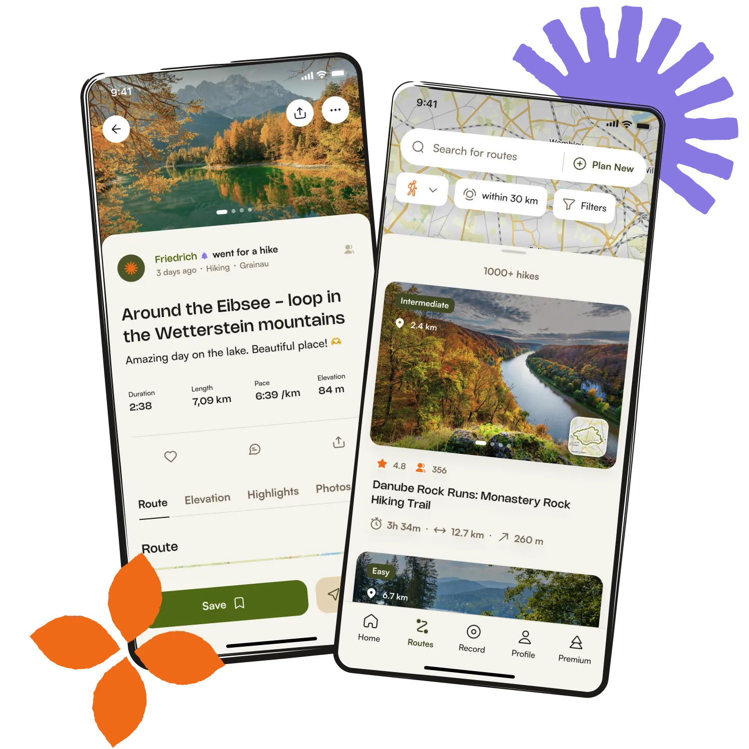
Get inspired with the komoot mobile app


Explore more
Browse the best Hikes in other regions.