The best hikes from bus stations around Abinger
4.6
(829)
3,969
hikers
41
hikes
Bus station hiking trails around Abinger are characterized by diverse landscapes, including extensive forests, open fields, and gentle hills. The region encompasses parts of the Greensand Ridge and the North Downs, offering varied elevations and scenic vistas. Ancient woodlands like Abinger Roughs and the Tillingbourne Valley contribute to the area's natural appeal. Hikers can find routes suitable for different abilities across this varied terrain.
Best bus station hiking trails around Abinger
- The most popular bus station hiking route is Friday…
Last updated: October 4, 2026
4.3
(10)
83
hikers
10.0km
02:42
130m
130m
Moderate hike. Good fitness required. Easily-accessible paths. Suitable for all skill levels.
4.7
(7)
53
hikers
Moderate hike. Good fitness required. Easily-accessible paths. Suitable for all skill levels.

5.0
(4)
31
hikers
Moderate hike. Good fitness required. Easily-accessible paths. Suitable for all skill levels.
22
hikers
3.60km
01:03
100m
100m
Easy hike. Great for any fitness level. Easily-accessible paths. Suitable for all skill levels.
5.0
(1)
18
hikers
Moderate hike. Good fitness required. Easily-accessible paths. Suitable for all skill levels.
Get access to more routes and recommendations from other explorers.
Already have an account?
Our route recommendations are based on thousands of hikes, rides, and runs completed by other people on komoot.
Other adventures around Abinger

Tips from the Community

A nice spot with a spectacular view of the surroundings.
2
0

If one were to categorize the more or less numerous small sacred monuments that hikers repeatedly encounter along the way according to their purpose, i.e., the reason for their erection, this stone monument is a classic memorial cross. It was erected here to commemorate a person murdered at this spot—in this case, a person of higher clerical rank, namely Bishop Samuel Wilberforce.
2
0


On 19 July 1873 Samuel Wilberforce, ‘Soapy Sam’ the Bishop of Winchester, had a tragic accident on the Abinger Roughs. His family erected a granite memorial on the spot where he fell, and you can see this Grade II listed monument near Leasers Barn. The Roughs was formerly part of the Abinger Hall Estate. In the late 19th century the land was planted with specimen trees, plantations and rhododendrons to form open glades with interlinking paths; a wilderness garden. It was created by Thomas Henry Farrer of Abinger Hall, and you can still see some of the original garden today.
0
0

The first name John has been widespread since biblical times, and so it should not surprise us to find a whole series of blessed and saints with this name over the two millennia of Christianity. At the threshold from the Old to the New Testament we encounter John the Baptist (also John Baptist), to whom most of the churches dedicated to John are dedicated. But one of the four men who wrote the New Testament Gospels also bears this name. This church in Wotton is dedicated to him, JOHN THE EVANGELIST. A long church tradition has regarded the evangelist as identical with the apostle John mentioned in the Bible, but this is doubted in biblical scholarship. "The Gospel of John exerts a peculiar fascination. It is difficult to escape its solemn, sometimes mystical language. It addresses deep human needs and longings: hunger and thirst, the search for fulfilling eternal life, the longing for personal communion with God.” (Franz-Josef Ortkemper)
0
0
James the Elder (the Latin word 'major' is not translated as 'great' in German), to whom this church in Abinger was dedicated, belongs together with his brother to the closest circle of Jesus' disciples. In his version of the "Good News" (this is the meaning of the word "gospel"), the evangelist Mark lists the apostles: "James, the son of Zebedee, and John, the brother of James - to whom he gave the nickname Boanerges, that is, sons of thunder" (Mark 3:17). They are said to have been very temperamental, but were loyal followers of Jesus Christ, in whom they recognized the promised Messiah. According to the Acts of the Apostles, James was executed for his faith. His grave in Santiago de Compostela in Galicia (Spain) is one of the most famous and important pilgrimage destinations in the world.
0
0
Frequently Asked Questions
How many bus station hiking trails are available around Abinger?
There are over 40 hiking routes around Abinger that are easily accessible from bus stations. These trails offer a variety of experiences, from gentle strolls through ancient woodlands to more challenging ascents with rewarding views.
What kind of terrain can I expect on bus-accessible hikes in Abinger?
The bus-accessible trails in Abinger offer a diverse range of terrain. You'll find extensive ancient woodlands, open fields, and gentle to moderate hills, characteristic of the Surrey Hills Area of Outstanding Natural Beauty. Many routes traverse parts of the Greensand Ridge and the North Downs, providing varied elevations and scenic vistas.
Are there easy bus-accessible hikes suitable for beginners in Abinger?
Yes, Abinger offers several easy bus-accessible hikes perfect for beginners or those looking for a relaxed walk. For example, the The Kings Road Pub – Holmbury Hill Viewpoint loop from Holmbury St Mary is an easy 3.6 km route that takes you through pleasant countryside with minimal elevation gain.
Are there challenging bus-accessible hikes around Abinger?
While most bus-accessible routes are easy to moderate, some offer more challenging sections, particularly those climbing towards higher points. The region's diverse terrain, including parts of the Greensand Ridge, means you can find routes with significant elevation changes. For instance, the Leith Hill Tower and Viewpoint – Holmbury Hill Viewpoint loop from Holmbury St Mary is a moderate 9.5 km hike with over 260 meters of ascent, offering a good workout and panoramic views.
What do other hikers enjoy most about the bus station trails in Abinger?
The bus station trails around Abinger are highly rated by the komoot community, with an average score of 4.7 stars from over 730 reviews. Hikers frequently praise the peaceful ancient woodlands, the varied landscapes, and the stunning viewpoints across the Surrey Hills. The well-maintained paths and the accessibility from public transport are also often highlighted.
Are there family-friendly bus station hikes in Abinger?
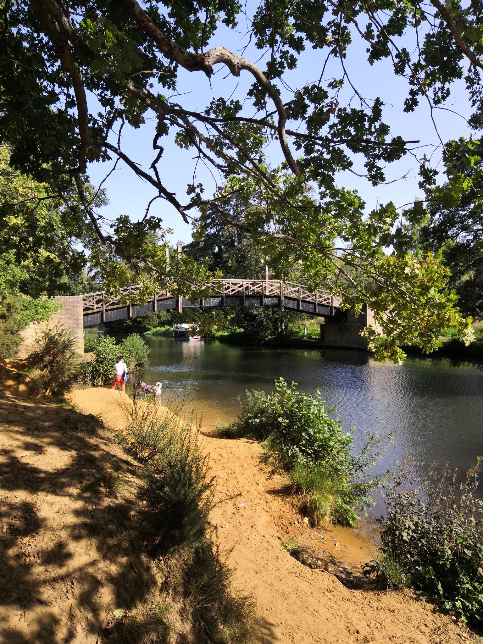
Absolutely! Many bus-accessible trails in Abinger are suitable for families. The area around Abinger Roughs and Abinger Hammer is particularly popular, offering natural play areas and opportunities for paddling in the Tillingbourne River. These shorter walks connect woodlands with charming villages, providing a fun day out for all ages.
Are dogs allowed on bus-accessible hiking trails in Abinger?
Yes, most hiking trails in Abinger are dog-friendly, provided dogs are kept under control, especially near livestock or in nature reserves. The extensive woodlands and open spaces offer plenty of opportunities for your canine companion to enjoy the outdoors. Always remember to check local signage for specific restrictions.
What interesting landmarks or viewpoints can I see on bus-accessible hikes around Abinger?
Bus-accessible hikes around Abinger offer several notable landmarks and viewpoints. You can reach the iconic Leith Hill Tower and Viewpoint, one of the highest points in southeast England, offering expansive vistas. Other highlights include the Holmbury Hill Viewpoint and the Salomons Memorial Viewpoint, both providing stunning panoramas of the surrounding Surrey Hills.
Are there circular bus-accessible routes in Abinger?
Yes, many of the bus-accessible routes around Abinger are circular, allowing you to start and end your hike at the same bus stop without needing to retrace your steps. For example, the Friday Street Mill Pond – Leith Hill Tower and Viewpoint loop from Holmbury St Mary is a popular circular route that takes you through diverse landscapes and past key attractions.
Are there pubs or cafes near the bus stops for refreshments after a hike?
Yes, several villages in the Abinger area, such as Abinger Hammer and Holmbury St Mary, offer charming pubs and cafes that are often conveniently located near bus stops. These provide excellent spots to relax and refuel with a drink or a meal after your hike, often featuring local fare and a welcoming atmosphere.
What is the best time of year to hike around Abinger from a bus station?
Abinger is beautiful year-round, but spring and autumn are particularly popular for hiking. In spring, the ancient woodlands burst with wildflowers, while autumn offers stunning foliage colours. Summer provides longer daylight hours, and even winter can be magical with crisp air and frosty landscapes, though some paths might be muddy. Always check weather conditions before you go.
Most popular routes around Abinger
Most popular attractions around Abinger

Get inspired with the komoot mobile app


Explore more
Browse the best Hikes in other regions.
