The best hikes from bus stations around Hollesley
4.6
(508)
4,839
hikers
9
hikes
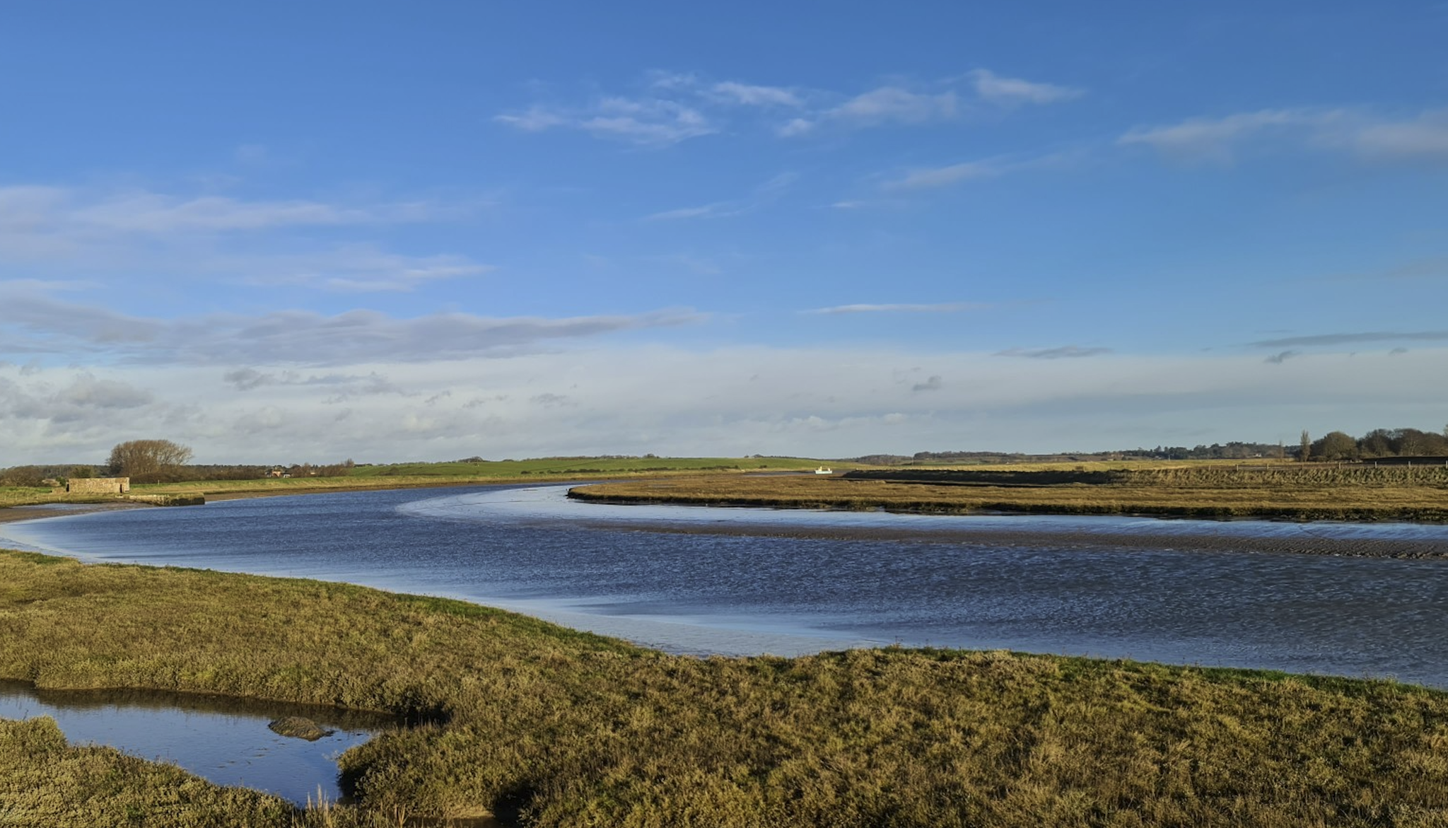
Bus station hiking trails around Hollesley offer a diverse landscape for outdoor exploration. The region is situated within the Suffolk Coast & Heaths Area of Outstanding Natural Beauty, characterized by its blend of coastal environments, heathlands, and woodlands. Hikers can expect paths along estuaries, low-lying shingle, and through areas of pine and birch woodland. Elevations are generally low, with routes providing views across the River Ore and towards the coast.
Best bus station hiking trails around Hollesley
- The most popular…
Last updated: July 15, 2026
4.6
(7)
20
hikers
6.36km
01:37
20m
20m
Easy hike. Great for any fitness level. Easily-accessible paths. Suitable for all skill levels.
4.8
(4)
12
hikers
Moderate hike. Good fitness required. Easily-accessible paths. Suitable for all skill levels.

Sign up for free
4.7
(3)
9
hikers
10.8km
02:44
30m
30m
Moderate hike. Good fitness required. Easily-accessible paths. Suitable for all skill levels.
4.5
(2)
10
hikers
Moderate hike. Good fitness required. Easily-accessible paths. Suitable for all skill levels.
6
hikers
14.3km
03:39
50m
50m
Moderate hike. Good fitness required. Easily-accessible paths. Suitable for all skill levels.
Get access to more routes and recommendations from other explorers.
Sign up for free
Already have an account?
Our route recommendations are based on thousands of hikes, rides, and runs completed by other people on komoot.
Start today with a free account
Your next adventure awaits.
Login or Signup
Popular around Hollesley
Other adventures around Hollesley

Tips from the Community


Martello Tower today hosts luxury accommodation but was once a defensive fort, built during the French Revolutionary Wars era. The British government built around 140 such towers across the British Empire during the early 19th century. It's a conspicuous sight in Shingle Street, a small coastal settlement that's in danger of falling victim of coastal erosion and flooding over the next two decades.
0
0

Open 7 days a week, for a warm atmosphere and probably the best coffee and cake in Suffolk.
0
0

A dead end for roadies but a scenic approach across the marshes towards the huge shingle bar that protects the coast.
0
0

The Shingle Street Shell line is located on a remote and beautiful section of the Suffolk Coast, not far from Bawdsey. When illness brought two friends together here, they created the line of white Shells stretching out to the sea. It's organic and flowing and feels like it was always part of the landscape
0
0

This is a great spot to sit back, relax and enjoy the views across the beautiful River Ore.
2
0

Bawdsey Beach is a long expanse of shingle to the north east of Felixstowe. You can see for miles along the coast as well as have fun inspecting the percolation lakes nestled between the shingle and the land. If you walk northwards alongside the beach, you'll reach a marshland nature reserve.
0
0
Frequently Asked Questions
How many hiking trails are accessible directly from bus stations in Hollesley?
There are 9 curated hiking routes in Hollesley that start conveniently from bus stations. These trails offer a range of experiences, from easy strolls to more moderate adventures, exploring the diverse landscapes of the Suffolk Coast & Heaths AONB.
What kind of terrain can I expect on hikes from Hollesley bus stations?
The trails around Hollesley offer a varied landscape. You can expect to walk along coastal paths, through ancient woodlands, across open heathlands, and alongside estuaries. The region is part of the Suffolk Coast & Heaths Area of Outstanding Natural Beauty, providing a mix of shingle, sand, forest tracks, and grassy paths.
Are there easy hiking options available from Hollesley bus stations?
Yes, there are easy hiking options. For example, the Shepherd & Dog – View across the River Ore loop from Hollesley is an easy 6.4 km route that offers pleasant river views without significant elevation changes, perfect for a relaxed outing.
What do other hikers enjoy most about the trails around Hollesley?
The trails around Hollesley are highly rated by the komoot community, with an average score of 4.6 stars from over 450 reviews. Hikers often praise the peaceful coastal and heathland scenery, the variety of wildlife, and the well-maintained paths that make exploring the Suffolk Coast & Heaths AONB a truly enjoyable experience.
Are the bus station trails in Hollesley suitable for families?
Many of the trails are suitable for families, especially the easier routes that avoid significant climbs. The diverse landscapes, including coastal views and heathlands, offer plenty of opportunities for children to explore. Consider routes with shorter distances and flatter terrain for younger family members.
Can I bring my dog on these hikes?
Yes, many of the trails around Hollesley are dog-friendly. However, as the area includes sensitive wildlife habitats like the Hollesley and Sutton Heaths and coastal nature reserves, it's crucial to keep dogs under close control, especially during nesting seasons or when livestock are present. Always check local signage for specific restrictions.
Are there circular routes available from Hollesley bus stations?
Yes, all the hiking routes listed from Hollesley bus stations are circular, meaning you'll end up back where you started. This makes planning your journey by public transport straightforward. An example is the Boyton Dock Ruins – View across the River Ore loop from Hollesley, a moderate 10.8 km loop.
What natural features or landmarks can I see on these trails?
You can discover a wealth of natural beauty and historical landmarks. Highlights include the Shingle Street and Martello Tower, offering coastal views and historical context. You might also encounter the tranquil Kyson Point on the Deben Estuary, or explore sections of the Suffolk Coast & Heaths AONB with its diverse wildlife.
Where can I find refreshments after a hike near Hollesley bus stations?
Hollesley and its surrounding villages offer a few options for refreshments. You'll find traditional pubs that welcome hikers, often serving food and local ales. It's a good idea to check opening times in advance, especially in smaller villages.
What is the best time of year to hike from Hollesley bus stations?
Hollesley offers enjoyable hiking year-round. Spring brings blooming wildflowers and active birdlife, while summer provides longer daylight hours for coastal walks. Autumn showcases beautiful heathland colours, and winter offers crisp, quiet walks, though some coastal paths can be exposed to wind. Always check weather conditions before heading out.
How long do the bus station hikes typically take?
The duration of hikes from Hollesley bus stations varies depending on the route and your pace. Shorter, easy routes like the Shepherd & Dog – View across the River Ore loop from Hollesley can take around 1.5 to 2 hours. Longer, moderate trails such as the Shepherd & Dog – Bawdsey Beach loop from Hollesley, which is 14.3 km, might take 3.5 to 4 hours or more.
Are there any coastal walks accessible from Hollesley bus stations?
Absolutely. Hollesley's proximity to the coast means several bus station trails offer stunning coastal experiences. The Martello Tower, Shingle Street – Shingle Street Shell Line loop from Hollesley is a moderate 10.9 km route that takes you along the unique shingle beach and past historical coastal defenses.
What are some longer, more challenging options for experienced hikers?
For those seeking a longer challenge, the Shepherd & Dog – Bawdsey Beach loop from Hollesley is a moderate 14.3 km hike with varied terrain, including coastal sections and inland paths. This route provides a good workout and extensive views of the local landscape.
Most popular routes around Hollesley
Most popular attractions around Hollesley

Get inspired with the komoot mobile app


Explore more
Browse the best Hikes in other regions.
