The best walks and hikes around Maria Rain
4.5
(3432)
23,643
hikers
27
hikes
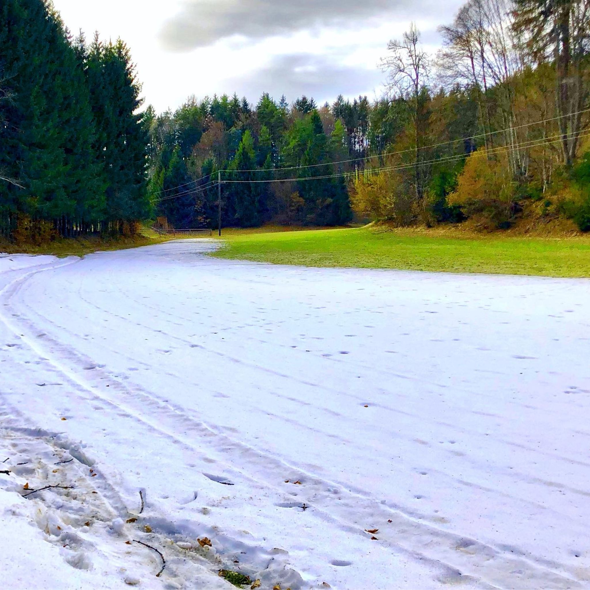
Hiking trails around Maria Rain offer diverse landscapes characterized by rolling hills, lush meadows, and dense forests. The region, situated near Klagenfurt, Austria, provides a serene environment for outdoor activities. The Drau River flows nearby, contributing to varied scenery along several routes. This area features a well-maintained network of paths suitable for different fitness levels.
Best hiking trails around Maria Rain
- The most popular hiking route is Ferlach Dam – Ressnig Pond loop from Maria Rain, a 4.6 miles…
Last updated: July 8, 2026
5.0
(5)
28
hikers
7.34km
02:01
120m
120m
Moderate hike. Good fitness required. Easily-accessible paths. Suitable for all skill levels.
5.0
(1)
25
hikers
7.37km
02:03
130m
130m
Moderate hike. Good fitness required. Easily-accessible paths. Suitable for all skill levels.

Sign up for free
4.5
(2)
7
hikers
5.98km
01:42
130m
130m
Easy hike. Great for any fitness level. Easily-accessible paths. Suitable for all skill levels.
5.0
(1)
12
hikers
2.86km
00:50
80m
90m
Easy hike. Great for any fitness level. Easily-accessible paths. Suitable for all skill levels.
8
hikers
3.93km
01:03
50m
50m
Easy hike. Great for any fitness level. Easily-accessible paths. Suitable for all skill levels.
Get access to more routes and recommendations from other explorers.
Sign up for free
Already have an account?
Our route recommendations are based on thousands of hikes, rides, and runs completed by other people on komoot.
Start today with a free account
Your next adventure awaits.
Login or Signup

Tips from the Community

The best connection between Klagenfurt and Ferlach when you are out and about by bike (except for road bikes)
0
0

On the Ferlacher Stausee you can paddle comfortably through the solitude, watching cows graze
2
0
The upper area of this territory can still be described as a flowing section, with the head of the reservoir gradually transitioning into a slow-flowing area. In the lower part of the reservoir, the river is bordered by high dams; it is over 500 meters wide here, and the current is extremely low. The shallow water zones with their reed beds offer ideal spawning grounds for fish. The Wellersdorf bay is a protected area and therefore can only be fished from June 16th onwards. Whitefish predominate, and there is a lot of fishing for carp and tench. Salmonids are caught occasionally in the upper area. Among the predatory fish, zander, pike, and catfish are present. There is hardly a native fish species that doesn't exist here; surprises are always possible.
2
0
beautiful cycle and footpath (R7G), far from the road
1
0

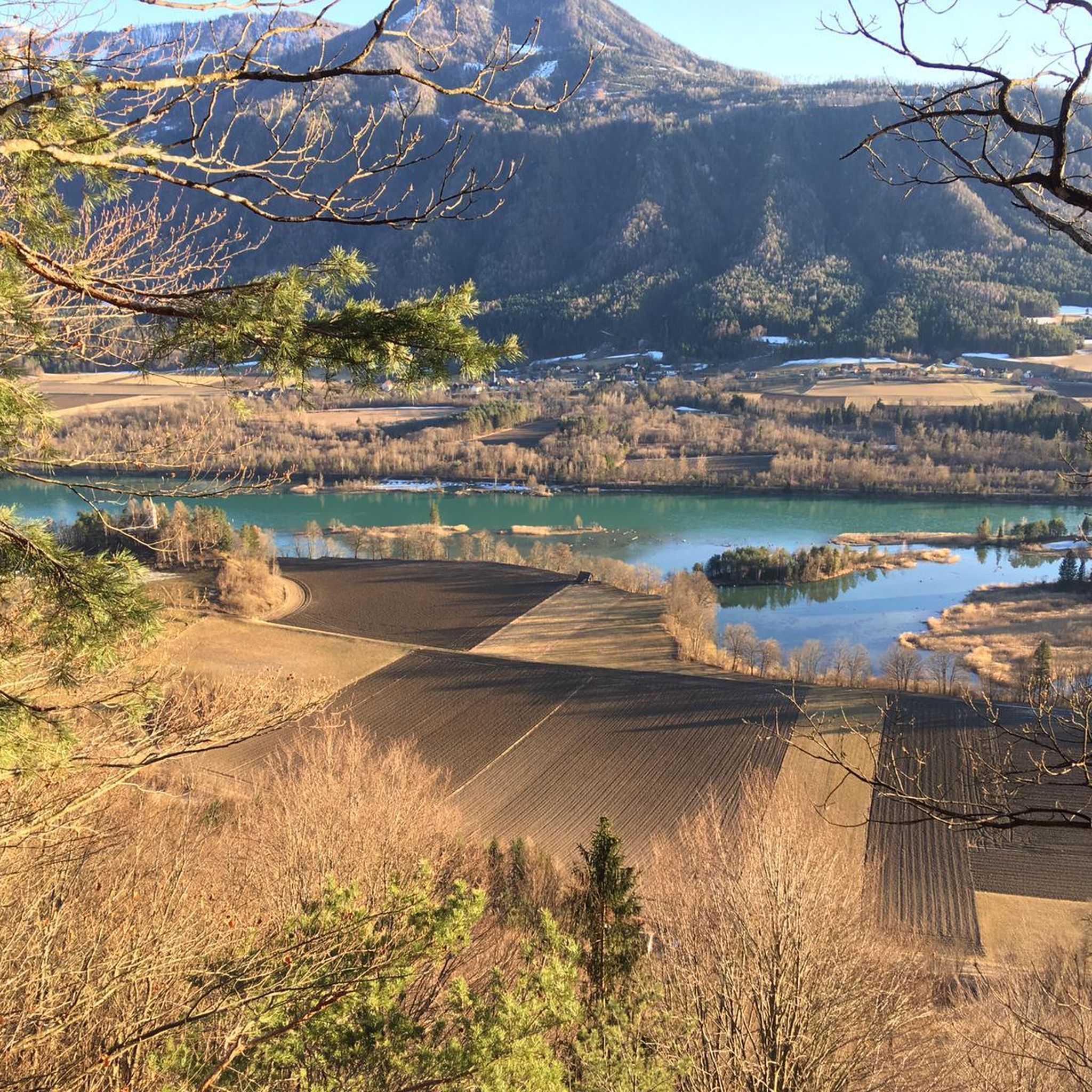
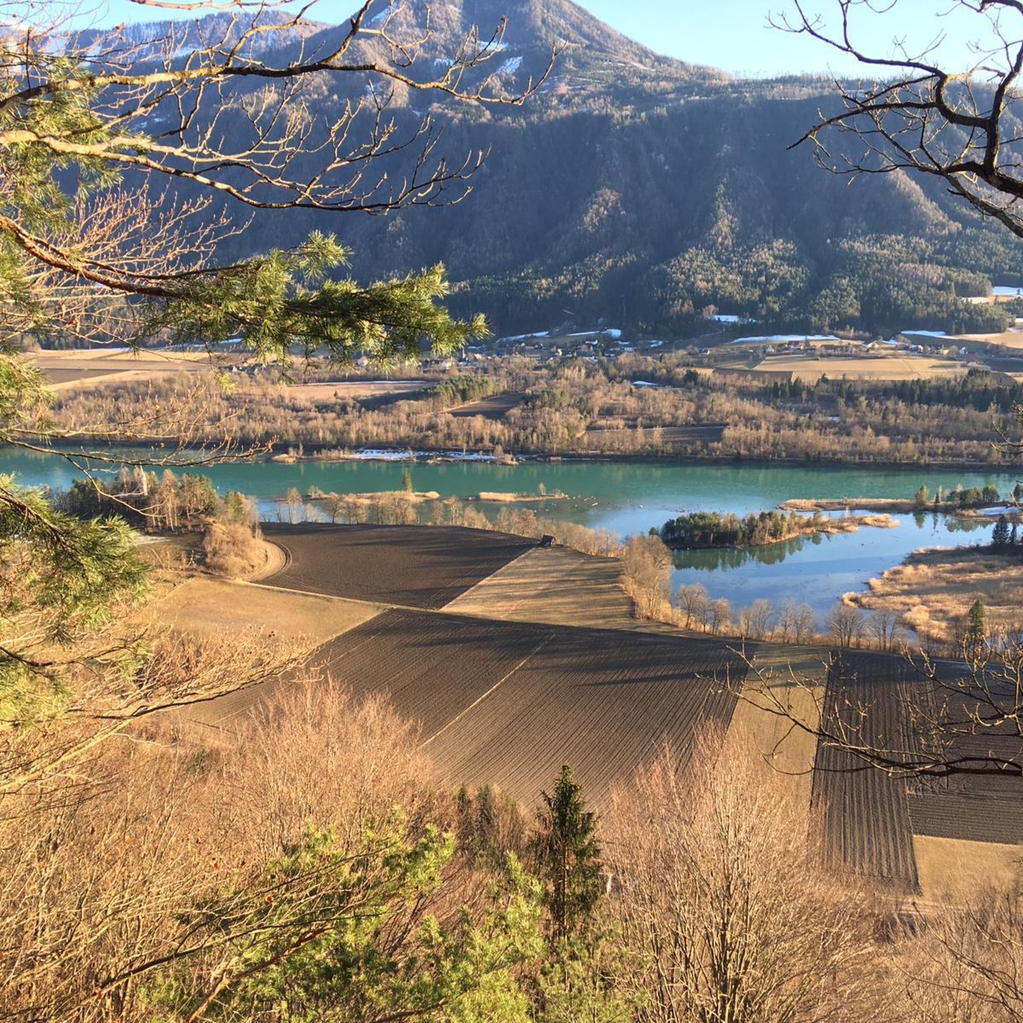
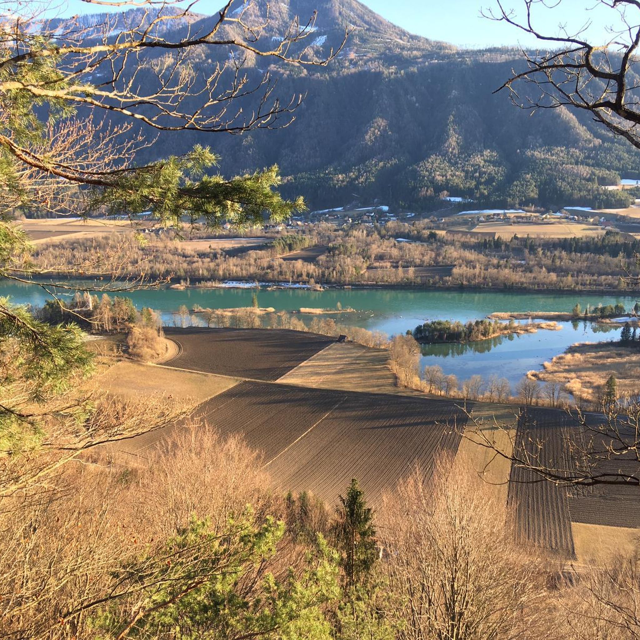
Kaiserhütte with a view of the Drau, sun lounger and information board about the defensive battle of 1920
0
0
The power plant dams the Drava for ten kilometers up to the upstream Feistritz/Ludmannsdorf power plant, thus forming the Ferlach reservoir.
3
0

Very narrow, drive carefully
1
0
The Ferlach reservoir is the backwater of the Drau by the Ferlach-Maria Rain run-of-river power plant. It extends above the Feistritz-Ludmannsdorf power plant with the Feistritz reservoir. While the Ferlach reservoir is bordered on the north side by the slopes of the Sattnitz, on the south side it is partly higher than the immediate surroundings and is bordered there by a dyke. The waters that the dyke cuts off from the Drau are collected by the Little Drau, which runs along the foot of the dyke on the south side and flows into the Drau below the power plant.
2
0
Frequently Asked Questions
How many hiking trails are available around Maria Rain?
Maria Rain offers a diverse network of over 25 hiking routes. These trails cater to various fitness levels, from easy walks through meadows to more moderate paths with gentle ascents.
Are there easy hiking options suitable for beginners or families?
Yes, Maria Rain is well-suited for beginners and families. Approximately 16 of the available routes are classified as easy. For instance, the circular trail around Lake Längsee is about 10 kilometers long and is known for being suitable for all skill levels, including families with children. Another accessible option is the View of the Drau River loop from Maria Rain, which is an easy 3.7-mile trail.
What kind of landscapes can I expect to see while hiking in Maria Rain?
Hikers in Maria Rain can expect picturesque landscapes characterized by rolling hills, lush green meadows, and dense forests. Many routes offer scenic views of the Drau River, while others lead past small streams and flowering fields. The region also features prominent natural attractions like Lake Längsee and elevated viewpoints such as the panorama path on the Ulrichsberg.
Are there any circular walks in Maria Rain?
Yes, many of the trails in Maria Rain are designed as circular routes, allowing you to start and end at the same point. A popular example is the Ferlach Dam – Ressnig Pond loop from Maria Rain, which is a moderate 4.6-mile trail offering varied scenery.
What is the best time of year to go hiking in Maria Rain?
The best seasons for hiking in Maria Rain are spring and autumn. During these times, the weather is typically mild, and the natural scenery is particularly vibrant with colors. While summer can be warm, hiking early in the morning or in the evening is recommended to avoid the midday heat.
Are there any notable landmarks or attractions to see along the hiking trails?
Yes, the region around Maria Rain offers several interesting natural features and attractions. You can find viewpoints offering panoramic vistas, such as those on the Ulrichsberg. The Drau River is a constant presence, with many trails providing views or proximity to it. Additionally, nearby attractions include various lakes like Rauschele Lake and Lake Keutschach, as well as impressive natural formations like the Tscheppa gorge and Tschauko Falls.
What do other hikers enjoy most about hiking in Maria Rain?
The hiking trails in Maria Rain are highly rated by the komoot community, with an average score of 4.5 stars from over 1,500 reviews. Hikers often praise the diverse terrain, the serene environment, and the well-maintained network of paths that offer beautiful views of the Drau River and surrounding natural beauty.
Are there any dog-friendly trails in Maria Rain?
Maria Rain's natural environment is generally welcoming for dogs. Many trails through meadows and forests are suitable for walks with your canine companion. However, it's always advisable to keep dogs on a leash, especially near wildlife or agricultural areas, and to check local regulations for specific routes.
What is the typical duration for hikes in Maria Rain?
Hiking durations in Maria Rain vary widely depending on the route and your pace. Shorter, easy walks like the Chapel – Chapel loop from Maria Rain can take around 1 hour, while moderate trails such as the Chapel – Ferlach Dam loop from Maria Rain typically take about 2 hours. There are options for both quick strolls and longer excursions.
Is public transport available to reach hiking starting points in Maria Rain?
Maria Rain is a village near Klagenfurt, and local public transport options are available. It's recommended to check the regional bus schedules to see which lines serve the area and if they connect conveniently to your desired hiking starting points. Information can usually be found on the local transport authority's website.
Are there specific trails that offer good viewpoints?
Yes, for panoramic vistas, the panorama path on the Ulrichsberg is a significant highlight, offering elevated views of the picturesque surroundings. Additionally, routes like the View of the Drau River loop from Maria Rain are specifically designed to provide scenic overlooks of the river and its valley.
Most popular routes around Maria Rain
Most popular attractions around Maria Rain

Get inspired with the komoot mobile app


Explore more
Browse the best Hikes in other regions.
