The best hikes from bus stations in the West Midlands Region
4.5
(26617)
193,342
hikers
6,215
hikes
Bus station hiking trails in the West Midlands Region traverse a diverse landscape characterized by rolling hills, ancient woodlands, and picturesque canals. The region features designated Areas of Outstanding Natural Beauty such as the Malvern Hills and Shropshire Hills, offering varied terrain from gentle slopes to more challenging ascents. Prominent features like The Roaches and The Wrekin provide dramatic gritstone ridges and rewarding summit views. This varied topography ensures a wide range of hiking experiences, from tranquil forest walks to expansive hill trails.
Best bus station hiking trails in the West Midlands Region
- The most popular bus station hiking route is Dragon's Back loop from Longnor — Peak District National Park, a 9.0 miles (14.5 km) trail that takes 4 hours 23 minutes to complete. This moderate route offers views of dramatic gritstone ridges.
- Another top favourite among local hikers is The Roaches loop, a moderate 3.6 miles (5.8 km) path. This trail explores the rugged beauty of The Roaches, known for its distinctive rock formations.
- Local hikers also love the The Stiperstones loop — Shropshire Hills, a 5.5 miles (8.8 km) trail leading through the diverse landscapes of the Shropshire Hills, often completed in about 2 hours 45 minutes.
- Hiking in the West Midlands Region is defined by rolling hills, ancient woodlands, and canal-side paths. The network offers options for different ability levels, from easy strolls to moderate hill climbs.
- The routes in West Midlands Region are highly rated by the komoot community with an average score of 4.5 stars from over 8,300 reviews. More than 71,000 hikers have used komoot to explore West Midlands Region's varied terrain.
Last updated: October 5, 2026
4.7
(303)
1,284
hikers
14.5km
04:23
450m
450m
Embark on the Dragon's Back loop from Longnor, a moderate 9.0-mile (14.5 km) hike in the Peak District National Park that typically takes about 4 hours and 22 minutes to complete. You will gain 1463 feet (446 metres) in elevation as you traverse a diverse landscape. The trail features a mix of unpaved paths, natural trails, and quiet lanes, but also includes challenging sections requiring some scrambling, especially on the narrow edges of Chrome Hill. Expect uneven and sometimes slippery limestone rocks on steep ascents and descents. As you hike, you will encounter step stiles and kissing gates, and cross a ford, though a footbridge is available if needed. The scenery unfolds with magnificent views over the wild Staffordshire hills, dotted with farms and criss-crossed with stone walls, offering spellbinding vistas over the distinctive "Dragon's Back" formed by Chrome and Parkhouse Hills.
This loop is generally considered a moderate hike, requiring good fitness due to its challenging sections. The ascent of Chrome Hill is particularly strenuous, involving steep inclines and uneven, slippery limestone rocks. Descending from Parkhouse Hill also involves a very steep path, so it is advisable to take great care on these sections due to potential steep drops. While some parts are easily accessible, be prepared for significant challenges on others. The route offers continuous panoramic views from various points, particularly from Chrome Hill and High Wheeldon, making the effort worthwhile.
The Dragon's Back loop is most notable for the distinctive geological formations of Chrome Hill and Parkhouse Hill, which resemble the plates along a stegosaurus's spine. These unique reef knolls were formed from an ancient coral reef when the area was covered by a tropical sea millions of years ago. The trail is celebrated for its demanding yet exhilarating nature, featuring seven short, very steep climbs to and off the summits. This area is also recognized as a Site of Special Scientific Interest (SSSI) due to its unusual geology and unique flora, such as foxgloves in summer and bright yellow gorse in autumn.
4.8
(66)
509
hikers
5.79km
01:45
170m
170m
Embark on The Roaches loop, a moderate hike that takes you through dramatic gritstone landscapes with varied terrain. You will cover 3.6 miles (5.8 km) and gain 545 feet (166 metres) in elevation, typically completing the route in about 1 hour and 44 minutes. As you hike, you will encounter impressive rock formations like Rabbit Rock and enjoy expansive panoramic views across the Staffordshire Moorlands and Tittesworth Reservoir. The path can be rugged in places, so be prepared for some short, steep climbs.
When planning your visit, remember that the trail's moderate difficulty means you should wear sturdy walking boots. Certain sections, particularly around Doxey Pool and after rainfall, can become quite boggy, so waterproof footwear is advisable. Due to the rugged nature of the terrain, this route is not suitable for prams or wheelchairs. Always check local conditions before you head out, especially after wet weather.
The Roaches loop offers more than just a hike; it immerses you in a landscape rich with local legend. The mystical Doxey Pool, for instance, adds an intriguing element to your journey through the Peak District National Park. This trail is a fantastic way to experience the unique geology and scenic beauty of the area, providing a memorable outdoor adventure.

4.6
(61)
238
hikers
8.78km
02:45
330m
330m
The Stiperstones loop in the Shropshire Hills offers a rugged hiking experience, defined by dramatic quartzite outcrops and panoramic views. This moderate 5.5-mile (8.8 km) route involves 1071 feet (326 metres) of elevation gain, taking around 2 hours and 44 minutes to complete. You will encounter stony, uneven paths along the ridge, passing iconic tors like Devil's Chair and Manstone Rock, with moorland vibrant with heather and bilberries in warmer months.
To plan your visit, you can start from the Knolls Car Park, which provides a good starting point already at a significant height. The Bog Visitor Centre is also nearby, offering refreshments and information. Be sure to wear good footwear for the rocky underfoot conditions, and be prepared for rapidly changing weather on the exposed ridge. Some sections may involve light scrambling to reach the top of certain rock formations.
This unique quartzite ridge, formed nearly 500 million years ago, is a National Nature Reserve within the Shropshire Hills Area of Outstanding Natural Beauty. The area is rich in folklore; the Devil's Chair is famously associated with witches and the Devil, while the hills are also linked to the ghost of Saxon warlord Wild Edric. Keep an eye out for red grouse and buzzards as you explore this geologically significant landscape.
4.6
(29)
202
hikers
5.97km
02:03
320m
320m
Embark on the Worcestershire Beacon Circular, a moderate hiking route that offers rewarding views from the Malvern Hills. This trail covers 3.7 miles (6.0 km) with an elevation gain of 1059 feet (323 metres), typically taking about 2 hours and 2 minutes to complete. As you ascend towards the Worcestershire Beacon Summit, you will experience varied terrain and panoramic vistas that stretch across the surrounding landscape.
To begin your hike, you can find convenient parking options at Upper Wyche or Great Malvern. If you prefer public transport, Great Malvern Train Station provides easy access to the area. Remember to plan for refreshments; you will find cafes like St Ann's Well & Café and various local pubs along or near the route.
This circular route is nestled within the beautiful Malvern Hills National Landscape, an area known for its distinctive geology and natural beauty. From the Worcestershire Beacon Summit and its toposcope, you can often see up to 13 counties on a clear day, including the distant Welsh hills. The trail offers a unique blend of natural scenery and historical points of interest, making it a memorable outing.
4.4
(19)
109
hikers
7.04km
01:52
70m
70m
Embark on an easy hike through the classic English countryside with the Sellack & Hoarwithy loop. This gentle route covers 4.4 miles (7.0 km) and involves a modest elevation gain of 224 feet (68 metres), taking about 1 hour and 51 minutes to complete. You will follow easily accessible paths, country footpaths, and minor roads, winding through green fields, quiet lanes, and alongside the scenic River Wye. Enjoy views of rolling countryside, established woodlands, and picturesque riverside meadows. A notable landmark along the way is the impressive Victorian Sellack Suspension Bridge.
The route is generally straightforward, making it suitable for most hikers. You can find convenient parking available at Kynaston Turn, which serves as an ideal starting point for your walk. Consider packing a picnic to enjoy by the river, or plan a stop at a local inn for refreshments after your hike.
This loop offers a delightful experience within the Wye Valley Area of Outstanding Natural Beauty. Beyond the charming landscapes, you will encounter the striking St. Catherine's Church in Hoarwithy, known for its unique Italianate architectural style. The trail provides a perfect opportunity to immerse yourself in the tranquil beauty and historical richness of this part of England.
Get access to more routes and recommendations from other explorers.
Already have an account?
Our route recommendations are based on thousands of hikes, rides, and runs completed by other people on komoot.
Start today with a free account
Your next adventure awaits.
Popular around West Midlands Region
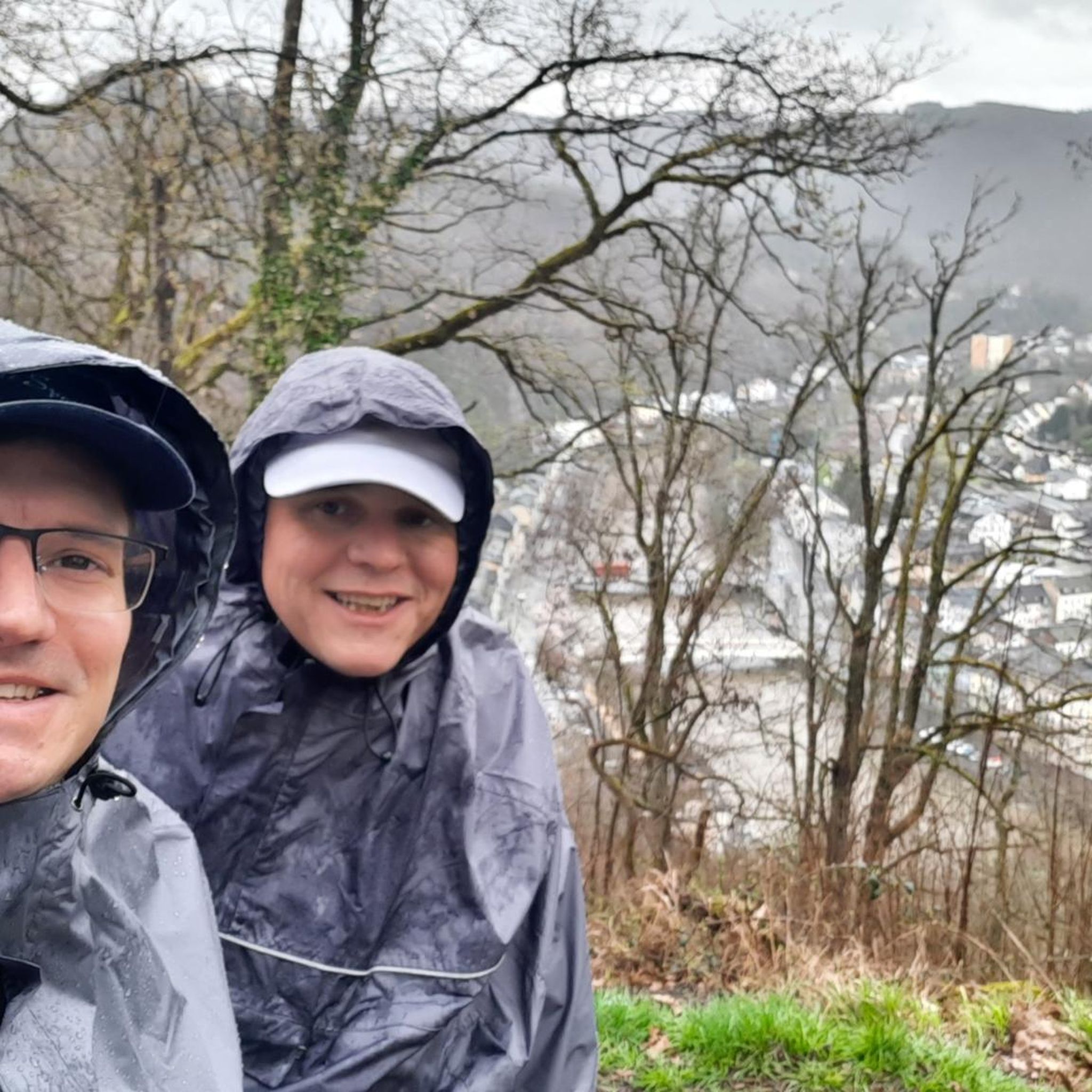
Hikes from bus stations in Staffordshire
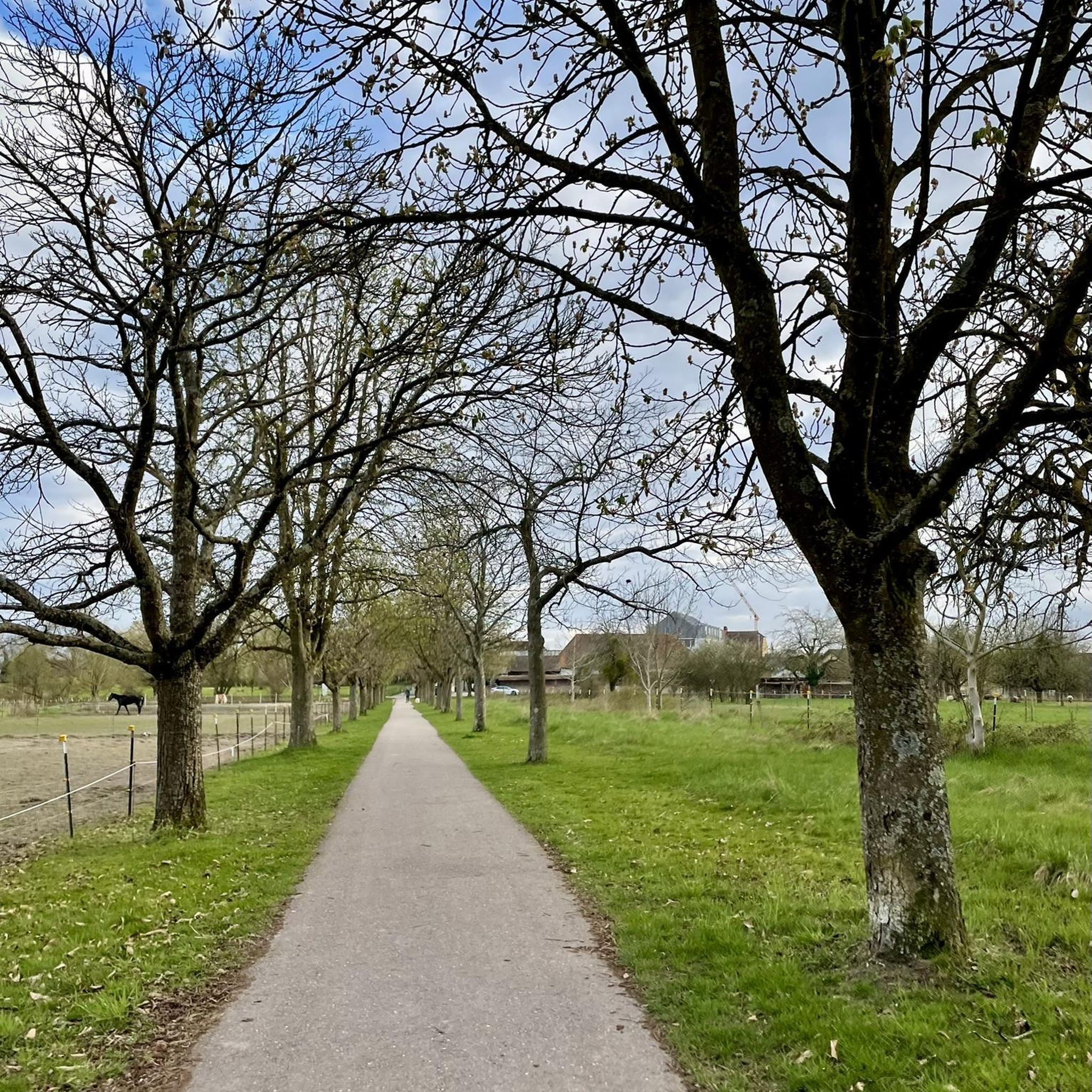
Hikes from bus stations in Herefordshire
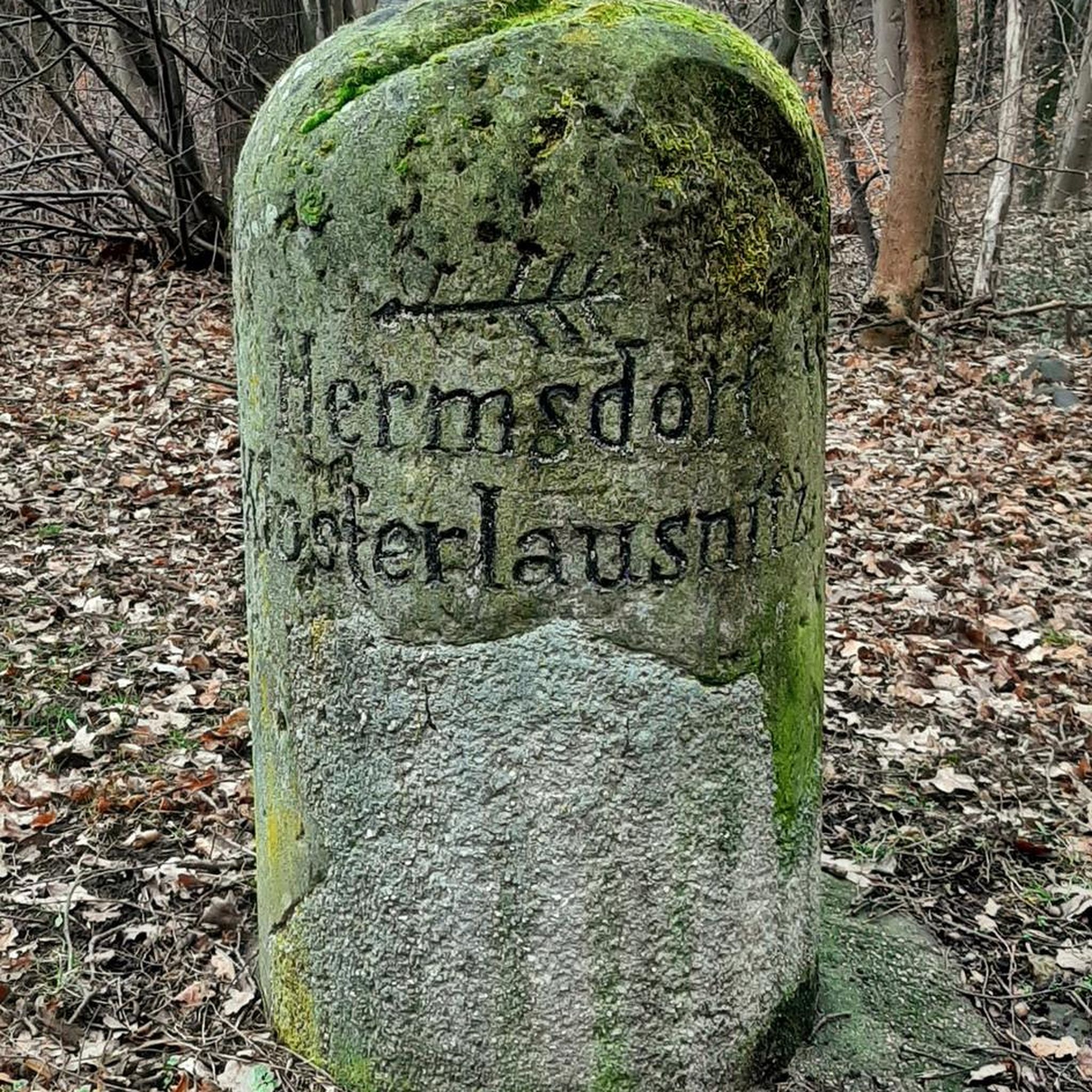
Hikes from bus stations in Warwickshire
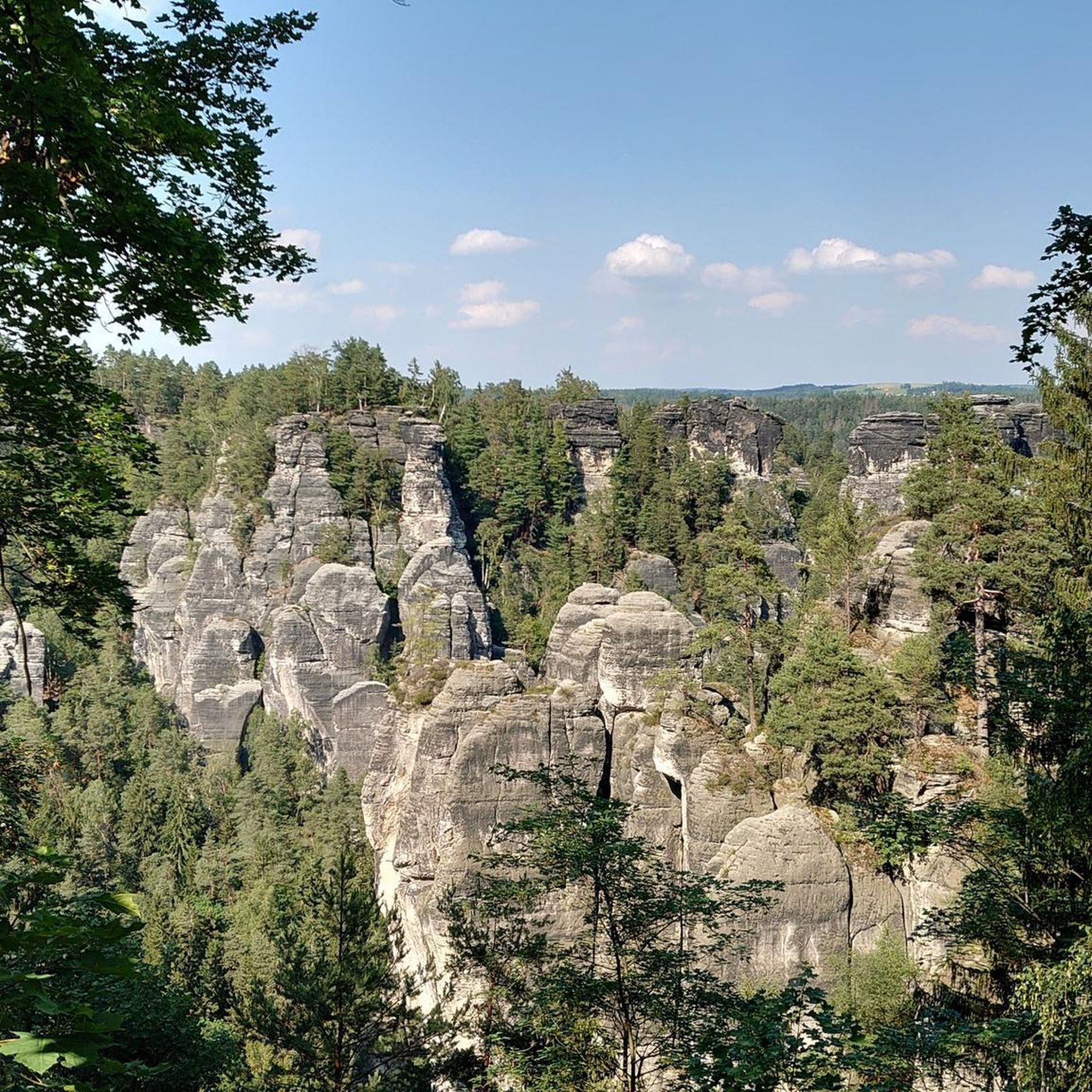
Hikes from bus stations in Worcestershire

Hikes from bus stations in Shropshire

Hikes from bus stations around Birmingham
Hikes from bus stations around Ross-On-Wye

Hikes from bus stations around Shrewsbury
Hikes from bus stations around Solihull
Hikes from bus stations around Eastnor
Other adventures in the West Midlands Region


Tips from the Community

A short sharp climb from either the South or North for great views of the valley
0
0

This unusual and eyecatching church up on it's hill dominates the village of Hoarwithy, and it's most spectacular feature is the Italianate tower.
0
0
According to Harper Bridges - This bridge was commissioned by the congregations of the churches of Sellack Boat and King’s Caple and built in 1895. The towers are of tubular cast iron, with nameplate transoms embossed “Louis Harper AIMCE, Maker, Aberdeen”. The original cables to common anchorages are still in place, as are their hangers. However, at some stage (nobody seems to know when or why) further short cables were clamped to the original, presumably to support areas of wear and avoid cable replacement. This has led to crowding at the saddles. However, the bridge is still used and the local churches continue to hold their ‘Bridge Thanksgiving’ ceremony each year. This area is noted for its flooding but so far the bridge has held since the arched deck remains above the flow, although the approaches are inundated. It lacks the original longitudinal deck boarding but the original camber is well maintained. This bridge is the best illustration of the method of attachment of hangars to main cable employed by John and Louis Harper
0
0

On a clear day some good views, rock formations are interesting
0
0

Devil's Chair 529.2m P9.7 Shropshire National Landscape Definitive List summit.
0
0

Be willing to climb to the trig point as it’s placed on top of the summit rock.
0
0

Its magnificent soaring rock faces and wild, heather-covered hillsides draw tens of thousands of visitors each year, and make it one of Staffordshire’s most photographed landscapes.
0
0

Frequently Asked Questions
How many bus-accessible hiking trails are there in the West Midlands Region?
The West Midlands Region offers a vast network of bus-accessible hiking trails, with over 6,400 routes available. This includes a wide range of difficulties, from easy strolls to more challenging ascents, ensuring there's something for every hiker.
What kind of terrain can I expect on bus-accessible hikes in the West Midlands?
The West Midlands Region boasts incredibly diverse terrain. You can find everything from gentle, accessible paths in parks like Lickey Hills Country Park to rolling hills in the Shropshire Hills, ancient woodlands, and picturesque canal-side walks. Areas like the Malvern Hills and The Roaches offer more rugged, elevated landscapes with rewarding views.
Are there easy bus-accessible hikes suitable for beginners or casual walkers?
Yes, the region has over 3,400 easy bus-accessible routes. Many parks and country estates, such as Walsall Arboretum or Coombe Abbey Country Park, provide well-maintained paths perfect for a relaxed walk. An example of an easy route is the Sellack & Hoarwithy loop from Kynaston Turn, which offers gentle elevation changes.
Can I find more challenging bus-accessible hikes in the region?
Absolutely. For those seeking a challenge, the West Midlands offers over 160 difficult bus-accessible hikes. The Malvern Hills, with routes like the Worcestershire Beacon Circular, provide significant elevation gain and panoramic views. The Roaches, part of the Peak District, also feature dramatic gritstone ridges and rewarding climbs.
What do other hikers say about the bus-accessible trails in the West Midlands Region?
The bus-accessible trails in the West Midlands are highly regarded by the komoot community, with an average rating of 4.5 out of 5 stars from over 8,300 reviews. Hikers frequently praise the region's diverse landscapes, well-maintained paths, and the convenience of reaching trailheads via public transport.
Are there family-friendly bus-accessible hiking options?
Many bus-accessible trails in the West Midlands are ideal for families. Parks like Lickey Hills Country Park and Walsall Arboretum offer accessible paths, open spaces for play, and amenities. These routes often feature shorter distances and less challenging terrain, perfect for all ages.
Are bus-accessible trails in the West Midlands Region dog-friendly?
Yes, many bus-accessible trails in the West Midlands are dog-friendly, particularly those in country parks and open access land. Areas like Cannock Chase and parts of the Shropshire Hills are popular with dog walkers. Always check local signage for specific rules regarding leads or restricted areas, especially near livestock or nature reserves.
Are there bus-accessible circular routes available?
Circular routes are very popular and widely available for bus-accessible hikes in the West Midlands. Examples include the Worcestershire Beacon Circular in the Malvern Hills and The Roaches loop, allowing you to start and end your hike at the same bus stop without needing to retrace your steps.
What can I see along the bus-accessible hiking trails in the West Midlands?
Along bus-accessible trails, you can discover a wealth of natural and historical attractions. Highlights include the stunning views from the Worcestershire Beacon Summit and Toposcope, the dramatic gritstone formations at the Trig point on The Roaches, and the ancient hillfort at Herefordshire Beacon (British Camp). Many routes also pass through picturesque villages and alongside historic canals.
Are there bus-accessible hikes that offer views of the wider region?
Definitely. Hikes in elevated areas like the Malvern Hills and the Shropshire Hills provide expansive views. From the Worcestershire Beacon Summit, for instance, you can often see across to South Wales on a clear day. The Stiperstones loop also offers impressive vistas over the Shropshire Hills AONB.
What is the best time of year to go hiking from bus stations in the West Midlands?
The West Midlands offers great hiking opportunities year-round. Spring brings blooming wildflowers and fresh greenery, while autumn showcases vibrant foliage, especially in woodlands like Wyre Forest. Summer is ideal for longer days and higher elevations, and even winter can be beautiful for crisp, clear walks, though some higher routes may require more preparation.
Are there cafes or pubs near bus-accessible trailheads in the West Midlands?
Many bus-accessible trailheads, especially those near villages or country parks, have cafes, pubs, or other amenities nearby. Popular hiking areas like the Malvern Hills and the Shropshire Hills are well-served by local establishments where you can refuel before or after your hike. It's always a good idea to check specific route details for amenities along the way.
Most popular routes in the West Midlands Region
Most popular attractions in the West Midlands Region

Get inspired with the komoot mobile app


Didn’t find what you were looking for?
Check out more Hikes throughout West Midlands Region below and find the perfect route in your destination.
Explore more
Browse the best Hikes in other regions.
