The best traffic-free bike rides around Sant Esteve De La Sarga
4.0
(5)
71
riders
6
rides
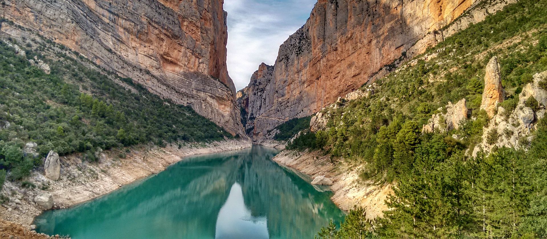
Gravel biking around Sant Esteve De La Sarga offers diverse landscapes within the Catalan Pre-Pyrenees, characterized by rugged terrain, deep gorges, and expansive mountain ranges. The region features a mix of unpaved rural roads, tracks, and natural paths, providing extensive off-road opportunities. Notable features include the dramatic Congost de Mont-rebei gorge and sections of the Montsec mountain range, which offer varied topography from flatter central areas to challenging mountainous sections. This environment is ideal for exploring on no traffic gravel…
Last updated: November 1, 2026
19
riders
Hard gravel ride. Very good fitness required. Mostly paved surfaces.
7
riders
21.4km
02:20
720m
720m
Hard gravel ride. Very good fitness required. Mostly paved surfaces.

5.0
(1)
5
riders
35.0km
03:22
820m
820m
Hard gravel ride. Very good fitness required. Mostly paved surfaces.
3.0
(2)
5
riders
99.3km
08:30
2,190m
2,190m
Hard gravel ride. Very good fitness required. Mostly paved surfaces.
3
riders
66.9km
05:44
1,270m
1,270m
Hard gravel ride. Very good fitness required. Mostly paved surfaces.
Our route recommendations are based on thousands of hikes, rides, and runs completed by other people on komoot.
Start today with a free account
Your next adventure awaits.
Popular around Sant Esteve De La Sarga

Other adventures around Sant Esteve De La Sarga

Tips from the Community

Wow, this is not to be missed! This is a fortified medieval town dating back to the 11th century. Àger is famous for its dramatic position at the foot of the Montsec mountain range and its preservation of Romanesque and Gothic architecture.
0
0

One of the tallest dams in all of Europe. A crossing point between Aragon and Catalonia and the gateway to the Serra del Montsec.
0
0

Industrial remains of the building and headframe of the old manganese mine in Estopiñán del Castillo.
0
0

Good path for mountain bikes, doable with gravel bikes but not very nice
0
0
Ermita closed, but has space for tent on the meadow in front of it. Tower next to it is open and has space for a 2 person tent (against bugs) but it's really cold in it. Okay for sudden rain, thunderstorms
0
0

At the top of the climb there is an old church with rest area and small meadow great for picnic.
0
0

Don't miss the return to Tremp via the Abella trail. Simply magical ;-)
0
0

It is a port in the Montsec mountain range that allows access to the beautiful valley where the town of Àger is located, with imposing vertical mountains that give a lot of charm and spectacularity to the valley, especially in spring where the green of the trees, the red of poppies and the warm yellow of wheat. The port is very stinky on both sides since the road is very wide, normally with 3 lanes, and with long straights, which take away any type of cycling attraction. However, the views from the port, especially towards the Àger valley, are spectacular. I climbed it on the southern slope, the one that begins in Balaguer. From Balaguer it is almost 25 km, with continuous ups, downs and flat areas. The final uphill section is 5.5 km at 6 - 7%, with a rest section when crossing the town of Sant Josep de Fontdepou
0
0
Frequently Asked Questions
How many no-traffic gravel bike trails are available in Sant Esteve De La Sarga?
This guide features 5 dedicated no-traffic gravel bike trails, perfect for exploring the diverse landscapes of Sant Esteve De La Sarga and its surroundings without vehicle interference.
What is the typical difficulty level of gravel biking routes in this region?
The gravel biking routes in this guide are generally considered difficult, offering a challenging experience for riders. They often involve significant elevation changes and varied terrain, typical of the Catalan Pre-Pyrenees. For example, the La Coma Trail – View of Pantano de San Antonio loop from Estació de Tremp covers nearly 48 km with over 700m of elevation gain.
What kind of terrain can I expect on these no-traffic gravel trails?
You can expect a diverse mix of terrain, from unpaved rural roads and tracks to natural paths. The region features a blend of relatively flat central areas, gentle slopes, and more challenging mountainous sections within the Serra del Montsec. This variety ensures an engaging off-road experience.
Are there any circular gravel biking routes available?
Yes, all the routes in this guide are circular, allowing you to start and end your ride at the same point. An example is the Terradets Reservoir – View of Terradets Reservoir loop from Palau de Noguera, which offers a scenic 41 km loop.
What natural attractions can I discover along these gravel bike trails?
Many routes offer access to stunning natural features. You can explore parts of the Mont-rebei Gorge, known for its dramatic cliffs, or enjoy views of the Serra del Montsec. The Port d'Àger – Viewpoint of the Àger Pass loop from Àger, for instance, takes you through breathtaking mountain landscapes.
Are there any historical or cultural sites accessible from the gravel routes?
While the focus is on natural beauty, the region is rich in history. You might encounter archaeological treasures like the Els Altimiris site or medieval necropolises, as well as Romanesque churches and castles scattered throughout the villages. These can often be reached via short detours from the main trails.
What do other gravel bikers enjoy most about riding in Sant Esteve De La Sarga?
The area is highly rated by the komoot community, with an average score of 4.3 stars. Reviewers often praise the stunning natural beauty, the challenging yet rewarding terrain, and the tranquility of the traffic-free routes, especially those offering panoramic views like the Port d'Àger.
Is Sant Esteve De La Sarga suitable for family-friendly gravel biking?
Given that all routes in this guide are rated as difficult, they are generally more suited for experienced riders. However, families with older, experienced teenage riders might find some sections manageable. Always check the route details for distance and elevation before setting out.
Can I bring my dog on these gravel bike trails?
While many natural areas in the Catalan Pre-Pyrenees are dog-friendly for hiking, specific regulations for cycling with dogs on these particular gravel trails can vary. It's always best to check local signage or official park guidelines for the specific area you plan to ride, especially around protected natural monuments like the Mont-rebei Gorge.
Where can I find parking for these no-traffic gravel bike routes?
Many routes start from locations that typically offer parking. For example, the Port d'Àger – Ruins of Sant Jaume de Cas loop starts from Aparcament de la Pertusa 1, indicating designated parking. Other routes begin near towns like Estació de Tremp or Àger, where public parking facilities are usually available.
What is the best time of year for gravel biking in Sant Esteve De La Sarga?
Spring and autumn generally offer the most pleasant conditions for gravel biking in the Catalan Pre-Pyrenees, with milder temperatures and beautiful scenery. Summers can be hot, especially in the middle of the day, while winters can bring colder temperatures and potential snow at higher elevations.
Are there any viewpoints along the gravel bike routes?
Yes, the region is renowned for its spectacular vistas. Many routes incorporate viewpoints offering panoramic scenes of the reservoirs, the Montsec mountain range, and the dramatic gorges. The View of the Finestras Rock Formations from Ermita de San Marcos is a notable highlight in the wider area.
Are there options for very long-distance gravel rides?
Yes, for those seeking a significant challenge, routes like the Port d'Àger – Ruins of Sant Jaume de Cas loop from Aparcament de la Pertusa 1 offer an extensive ride of nearly 96 km with over 2100m of elevation gain, providing a full day's adventure through diverse landscapes.
Most popular routes around Sant Esteve De La Sarga
Most popular attractions around Sant Esteve De La Sarga

Get inspired with the komoot mobile app


Explore more
Browse the best Gravel rides in other regions.
