The best traffic-free bike rides around Valle De Valdelaguna
5.0
(7)
261
riders
23
rides
No traffic touring cycling routes around Valle De Valdelaguna are situated in the Sierra de la Demanda region of Burgos, Spain, characterized by its valley scenery and the Tejero river. The area features diverse landscapes, including extensive forests and meadows, with an average altitude of 1166 meters. Touring cyclists can explore former railway lines converted into nature trails and mountain passes with minimal car traffic. The region offers varied terrain suitable for cycling, from river valleys to higher elevations.
Best…
Last updated: November 2, 2026
27
riders
Hard bike ride. Very good fitness required. Mostly paved surfaces.
8
riders
49.2km
03:38
1,150m
1,150m
Hard bike ride. Very good fitness required. Mostly paved surfaces.

24
riders
25.2km
02:03
750m
750m
Hard bike ride. Very good fitness required. Mostly paved surfaces.
18
riders
21.9km
01:43
620m
620m
Hard bike ride. Very good fitness required. Mostly paved surfaces.
5.0
(1)
10
riders
Hard bike ride. Very good fitness required. Mostly paved surfaces.
Get access to more routes and recommendations from other explorers.
Already have an account?
Our route recommendations are based on thousands of hikes, rides, and runs completed by other people on komoot.
Start today with a free account
Your next adventure awaits.
Popular around Valle De Valdelaguna
Other adventures around Valle De Valdelaguna

Tips from the Community

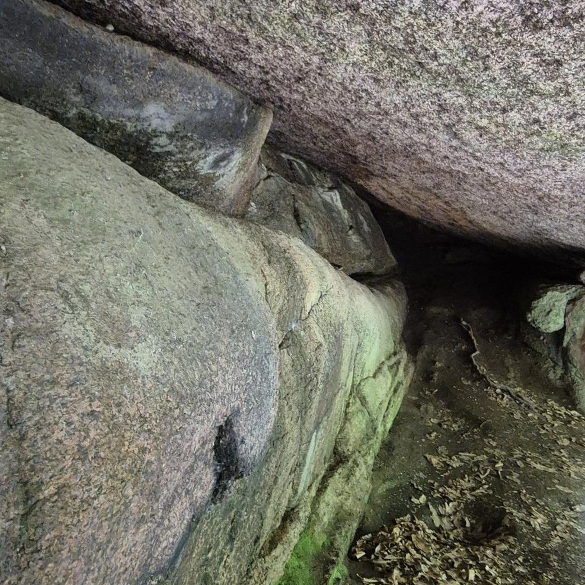
Also weird abandoned houses nearby, so good campspot
0
0

A beautiful village in the PINARES region, in the province of Soria
0
0

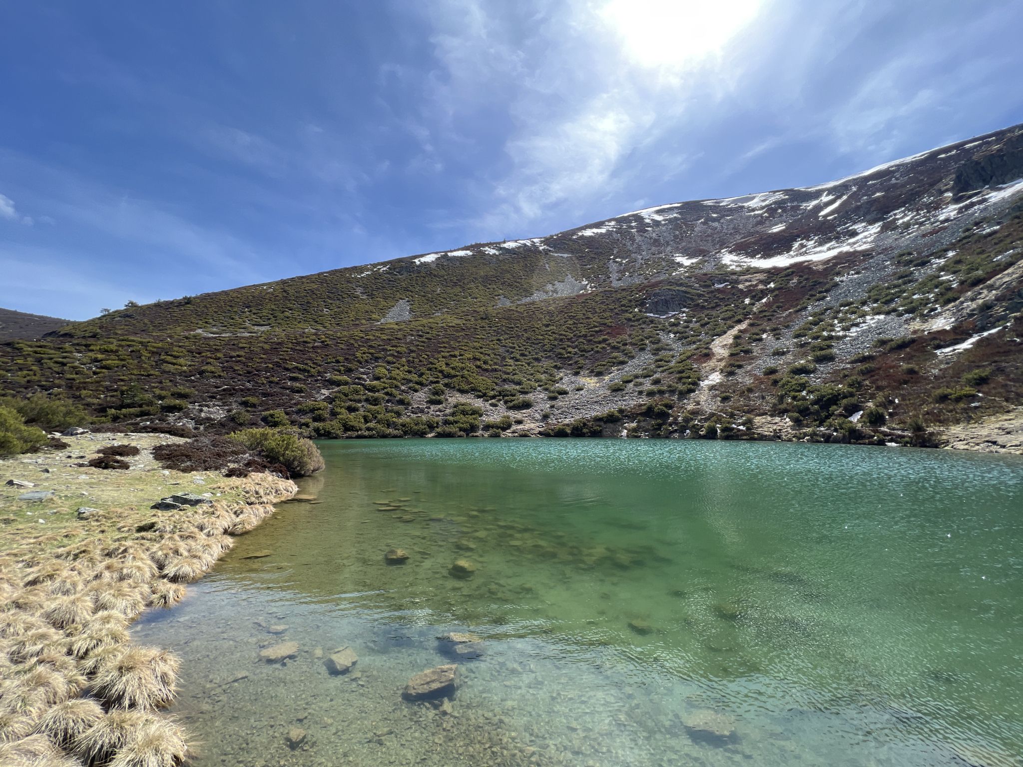
The panoramic view from the San Francisco viewpoint is simply amazing. The infinite views of the mountains that make up the Lagunas Glaciares de Neila Natural Park will amaze you.
2
0

Mountain pass that reaches more than one thousand three hundred meters in height and has a length of just over seven kilometers on a four percent percentage.
1
0
Direction to the famous mountain pass not only because it takes you to the foothills of the Lagunas de Neila but also because of its climb that comes from the center of Quintanar de la Sierra.
0
0
One of the most impressive places in the entire province of Burgos and where, in addition, the ascent is famous for the fact that the Vuelta Ciciclista a Burgos, its main stage, ends in this tough climb.
0
0
The town of San Leonardo de Yagüe is dedicated to the wood and food industry, mainly. It has tourist potential: the Camino de Santiago de Soria, also called Castilian-Aragonese, passes through the town.
0
0

Formerly San Leonardo changed its name after the death of the Francoist general Juan Yagüe who was born there. It is worth visiting its 16th century castle.
2
0
Frequently Asked Questions
How many no-traffic touring cycling routes are available in Valle de Valdelaguna?
There are 18 dedicated no-traffic touring cycling routes around Valle de Valdelaguna. These routes are designed to offer a serene cycling experience away from vehicular traffic.
What are the typical difficulty levels for no-traffic touring routes in this region?
The no-traffic touring routes in Valle de Valdelaguna are predominantly challenging, with 14 routes rated as difficult and 4 as moderate. Cyclists should expect significant elevation changes and longer distances, making them suitable for experienced riders.
Are there any circular no-traffic touring routes in Valle de Valdelaguna?
Yes, several no-traffic touring routes in the area are circular. For example, the challenging route Parque Natural Lagunas Glaciares de Neila — circular from Quintanar de la Sierra offers a 34.6 km loop with nearly 1000 meters of elevation gain. Another option is the 45 km Metal footbridge – Puerto del Manquillo loop from Valle de Valdelaguna.
What natural features can I expect to see along these no-traffic cycling routes?
The routes often traverse diverse landscapes, including pine forests, meadows, and the picturesque Tejero river valley. You can also encounter stunning glacial lakes like the Neila Lagoons, which are a highlight on routes such as San Francisco Viewpoint – Neila Lagoons loop from Quintanar de la Sierra. The region is part of the Sierra de la Demanda, known for its mountainous environment.
Are there any notable viewpoints or landmarks accessible by no-traffic touring routes?
Yes, the region offers several impressive viewpoints and landmarks. The Puerto del Manquillo mountain pass is a key feature, offering serene cycling through pine forests with minimal traffic. You can also find high peaks like Campiña and San Millán (2,131 m), which provide panoramic views of the surrounding area.
What is the best time of year to cycle the no-traffic routes in Valle de Valdelaguna?
The best time to cycle in Valle de Valdelaguna is generally during the spring and autumn months. These seasons offer pleasant temperatures and vibrant natural scenery. Summer can be warm, especially at lower altitudes, while winter may bring snow and colder conditions, particularly in the higher mountain passes like Puerto del Manquillo.
Are there any family-friendly no-traffic cycling options in the area?
While many routes are rated difficult, the region's Vía Verde de la Sierra de la Demanda, an old railway line converted into a nature trail, offers a generally flatter and more accessible option suitable for families. This greenway runs through villages like Bezares and provides a traffic-free environment.
What do other touring cyclists enjoy most about cycling in Valle de Valdelaguna?
The area is highly rated by the komoot community, with an average score of 4.5 stars. Reviewers often praise the tranquility of the no-traffic routes, the immersive experience through pine forests, and the stunning natural beauty of the Neila Lagoons and mountain passes.
Is public transport available to reach the starting points of these routes?
Public transport options directly to the starting points of many remote routes in Valle de Valdelaguna can be limited. It is advisable to check local bus schedules for connections to larger towns like Quintanar de la Sierra, from which some routes, such as Quintanar de la Sierra – San Leonardo de Yagüe loop, begin. Driving to the area and parking is often the most convenient option.
Where can I find parking for no-traffic cycling routes in Valle de Valdelaguna?
Parking is typically available in the villages that serve as starting points for many routes, such as Valle de Valdelaguna itself or Quintanar de la Sierra. Look for designated parking areas or inquire locally upon arrival. For routes like the Metal footbridge – Puerto del Manquillo loop, starting directly from Valle de Valdelaguna, village parking would be the most convenient.
Are there any moderate no-traffic touring routes for less experienced cyclists?
Yes, there are a few moderate options. The Cuyacabras Necropolis loop from Quintanar de la Sierra is a moderate 20.8 km route with over 300 meters of elevation gain, offering a good balance for those looking for a less strenuous but still engaging ride.
Most popular attractions around Valle De Valdelaguna

Get inspired with the komoot mobile app


Explore more
Browse the best Cycling routes in other regions.
