The best traffic-free bike rides around Die
4.5
(1805)
18,482
riders
308
rides
No traffic touring cycling routes around Die are characterized by the diverse landscapes of the Drôme Valley and the Vercors Regional Natural Park. The region features a blend of limestone cliffs, deep gorges, and expansive plateaus, alongside serene river valleys with orchards and vineyards. Numerous mountain passes offer varied elevation profiles, while crystal-clear rivers wind through the terrain. This area provides a rich environment for touring cyclists seeking routes with minimal traffic.
Best no traffic touring cycling routes around Die
…Last updated: October 19, 2026
4.7
(47)
254
riders
43.9km
03:15
770m
770m
Hard bike ride. Very good fitness required. Mostly paved surfaces.
4.7
(48)
260
riders
39.7km
02:44
720m
720m
Hard bike ride. Very good fitness required. Mostly paved surfaces.

4.0
(2)
141
riders
92.8km
06:40
1,980m
1,980m
Hard bike ride. Very good fitness required. Mostly paved surfaces.
4.4
(14)
135
riders
26.5km
01:49
490m
490m
Hard bike ride. Very good fitness required. Mostly paved surfaces.
4.7
(3)
103
riders
25.5km
02:17
530m
530m
Hard bike ride. Very good fitness required. Mostly paved surfaces.
Get access to more routes and recommendations from other explorers.
Already have an account?
Our route recommendations are based on thousands of hikes, rides, and runs completed by other people on komoot.
Start today with a free account
Your next adventure awaits.
Popular around Die
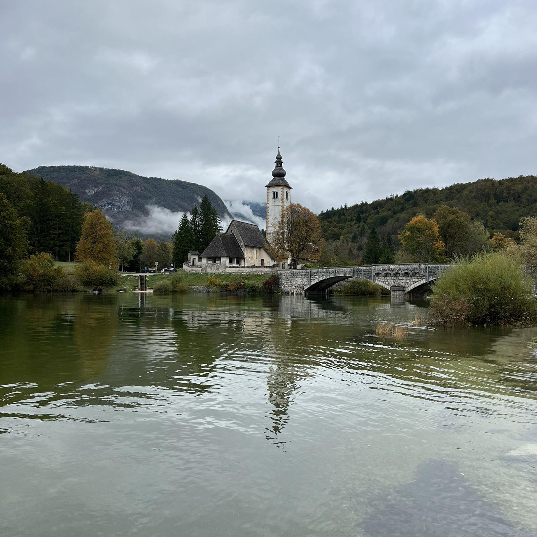
Traffic-free bike rides in Vercors

Traffic-free bike rides around Soyans

Traffic-free bike rides around Rimon-Et-Savel

Traffic-free bike rides around Marignac-En-Diois

Traffic-free bike rides around Saint-Andéol

Traffic-free bike rides around Piégros-La-Clastre

Traffic-free bike rides around Pontaix
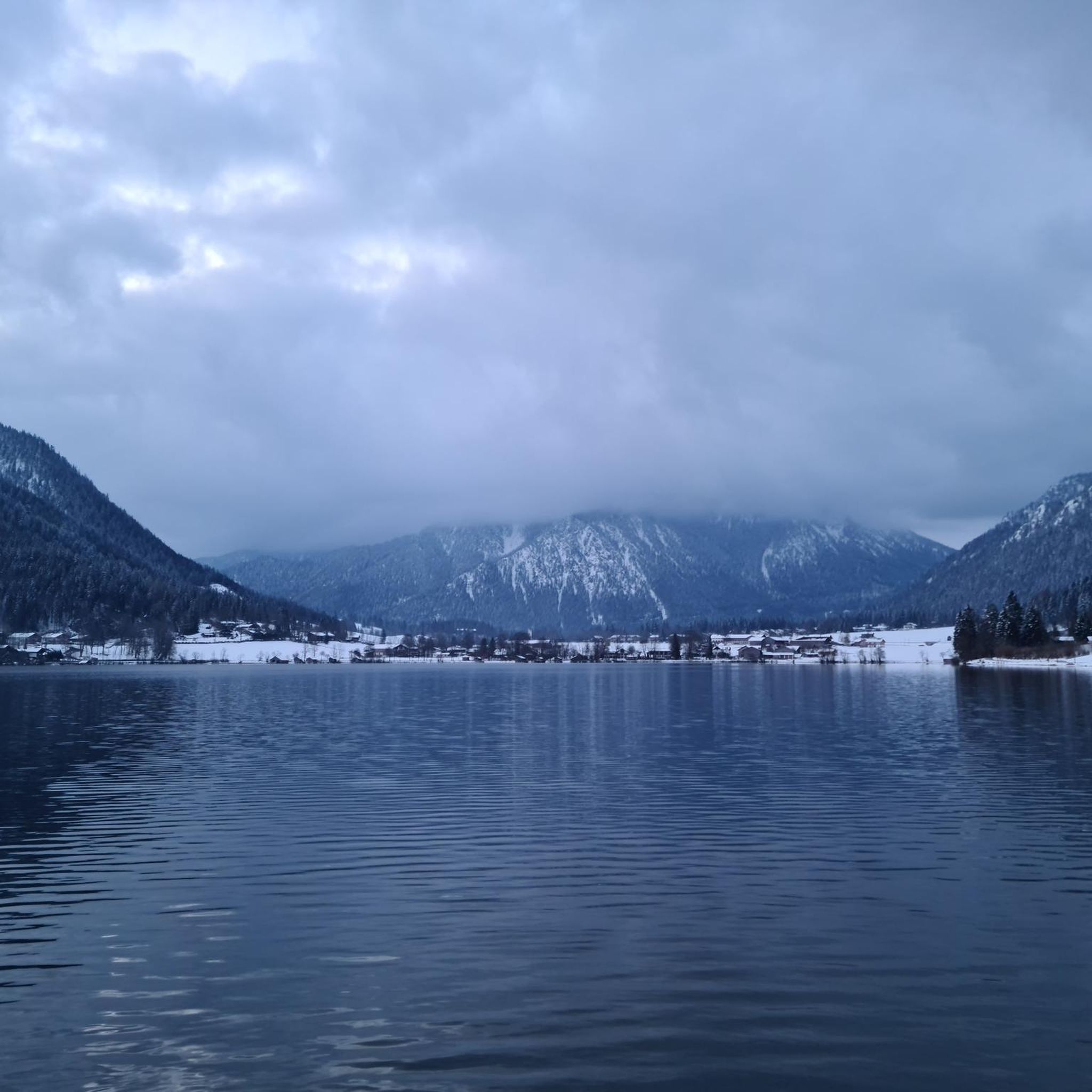
Traffic-free bike rides around Vachères-En-Quint

Traffic-free bike rides around Sainte-Croix

Traffic-free bike rides around Ponet-Et-Saint-Auban
Other adventures around Die


Tips from the Community

During the flowering period, these fields offer vibrant colors.
8
0
Conversation in AI Mode: valle di la sureThe Sûre Valley (or Vallée de la Sûre) is a splendid natural region that extends along the course of the Sûre river (called Sauer in German), mainly located between Belgium and Luxembourg, with some extensions into Germany.If, on the other hand, you were looking for a location related to the French mountains (in the Chartreuse massif), you might be referring to the area around the summit of Grande Sure.Here are the main attractions and activities related to the Sûre Valley (Ardennes/Luxembourg):🏞️ Nature and National ParksHaute-Sûre Natural Park: Located in the province of Luxembourg (Belgium), it includes dense forests, marshy areas, and vast agricultural plateaus.Haute-Sûre Lake: Located in Luxembourg, it is the country's largest reservoir and a paradise for water sports, hiking, and relaxation.🚴 Hiking and CyclingCycling Routes: The valley offers spectacular and flat cycling routes along the river, such as the famous S3 Tour de la Vallée de la Sûre in Luxembourg, ideal for discovering typical villages and castles.Trekking Trails: There are numerous circular routes of varying difficulty, perfect for walks in the woods and along waterways.👨👩👧👦 Featured AttractionsZooParc Vallée de la Sûre: Located in Vaux-sur-Sûre (Belgium), it is a wildlife park in the Ardennes where you can observe rare species and participate in educational activities such as the "zookeeper for a morning".Would you like more information about a specific area of the Sûre Valley? Let me know if you are interested in:Detailed trekking or cycling routesInformation about castles and historic villages in the areaDetails about the Grande Sure summit in France, in case you were looking for the mountainAI responses may contain errors. Learn moreZooParc Vallée de la SûreZooParc Vallée de la Sûre • Parc animalier de l'ArdenneÀ Vaux-sur-Sûre, à deux battements d'ailes de Bastogne, Libramont et Neufchâteau, laissez-vous emporter par une aventure unique où...Decathlon OutdoorThe great Sure di Currière - Decathlon OutdoorJune 17, 2026 — From its 1,920-meter summit, the Grande Sure majestically overlooks the valley. From its peak, it offers a magnificent view of the valley...visit WalloniaHaute-Sure and Anlier Forest Natural ParkIt consists of vast agricultural plateaus, the Sûre basin, with its resinous valleys, the Anlier massif, the important relief...Show allvalle di la sure in the VercorsIn the Vercors Massif (France), the name "La Sure" does not refer to a long watercourse, but to a splendid alpine basin and a panoramic peak that dominates the northern part of the massif. In particular, it refers to the area and hiking route of Le Val de la Sure, located near the municipality of Autrans-Méaudre en Vercors.
8
0
One of the most striking passes in the Vercors, nestled between dense forests and wide mountain landscapes. The climb offers a wild and tranquil environment, with the road winding through woods and plateaus. An ideal place to savor the most authentic and spectacular side of the Vercors by bike.
8
0

Valchevrière, a place of silence and contemplation, is one of the most moving and evocative sites of the Resistance in Vercors. This hamlet, deep in the forest, served as a camp for the maquisards before being the scene of a severe confrontation on July 22 and 23, 1944. On the belvedere overlooking the village, men sacrificed themselves to delay the advance of the Nazi armies and died with weapons in hand. The houses were then set on fire, only the chapel was spared. The hamlet has remained as it was, with its bare stones blackened by fire. A Stations of the Cross, each station being an original edifice, connects Villard de Lans to Valchevrière.
0
0
At the top the panorama is satisfying.
9
0


Great little pass coming from Marignic
0
0
Small, rather easy pass, take the return from Marigniac en Diois
0
0
Frequently Asked Questions
How many no-traffic touring cycling routes are available around Die?
Komoot offers over 300 touring cycling routes around Die that prioritize minimal traffic, allowing you to explore the stunning landscapes of the Drôme Valley and Vercors Regional Natural Park with peace of mind. These routes range from easy riverside paths to challenging mountain passes.
What is the best time of year to enjoy traffic-free touring cycling in Die?
The best time to cycle in Die is generally from spring to autumn. Spring (April-May) offers lush greenery and blooming wildflowers, while autumn (September-October) provides pleasant temperatures and vibrant fall colors. Summer (June-August) is also popular, but it can get warm, making shaded routes through gorges or early morning rides ideal. The region's diverse terrain means you can find suitable routes across these seasons.
Are there any easy, family-friendly no-traffic touring cycling routes near Die?
Yes, Die offers several easy routes suitable for families. For instance, the Lavender fields – The Drôme at Crest loop from Piégros-la-Clastre is an easy option with minimal elevation gain, perfect for a relaxed ride through picturesque landscapes. The Drôme Valley itself features attractive routes like the Vélodrôme, which follows the river through orchards and vineyards, often with low traffic.
What kind of natural attractions can I expect to see along these routes?
The region around Die is rich in natural beauty. You can encounter dramatic limestone cliffs and deep gorges, especially within the Vercors Regional Natural Park. Highlights include the stunning Druise Waterfall, the impressive Gorges des Gâts, and the unique geological formations like the Porte du Diable. Many routes also pass through serene river valleys, vineyards, and lavender fields.
Are there challenging no-traffic touring cycling routes for experienced riders?
Absolutely. The Vercors Regional Natural Park, adjacent to Die, is renowned for its challenging mountain passes and dramatic balcony roads, offering significant elevation gains and breathtaking views. Routes like the Valchevrière lookout – Col d'Herbouilly loop from Saint-Martin-en-Vercors provide a substantial challenge with over 1300 meters of ascent. The region boasts over 30 recognized cols, ensuring plenty of options for advanced cyclists seeking a demanding ride.
Where can I find parking for these no-traffic cycling routes?
Many villages and towns in the Drôme region, including Die itself, offer designated parking areas that are convenient for cyclists. For routes starting in smaller hamlets or near natural attractions, look for public parking lots or roadside spaces. It's advisable to check specific starting points for available parking facilities before your tour. The Drôme department is well-equipped for cycling tourism, with many services catering to visitors.
Can I find circular no-traffic touring cycling routes around Die?
Yes, many of the touring cycling routes around Die are designed as circular loops, allowing you to start and end your journey in the same location without retracing your steps. Examples include the Saou – Col du Pas de Lauzun loop from Puy-Saint-Martin and the View of the La Sure Valley – Route des Bouanes loop from Die. These circular routes are ideal for exploring diverse landscapes and returning to your starting point conveniently.
What is the average difficulty of touring cycling routes in Die?
The routes around Die offer a wide range of difficulties. While there are over 30 easy routes, the majority are classified as moderate (over 110 routes) or difficult (over 160 routes). This reflects the region's varied topography, from gentle river valleys to the demanding climbs of the Vercors mountains. You can find routes tailored to your fitness level, whether you prefer a leisurely ride or a significant challenge.
Are there places to stop for refreshments or accommodation along the routes?
Yes, the Drôme department is recognized for its cycling tourism, with many service providers labeled "Accueil Vélo" (Bike Welcome). This means you'll find accommodation, cafes, and restaurants that cater to cyclists in towns and villages along popular routes. Historic villages often feature charming squares with shaded café terraces, perfect for a break. You can also find opportunities for wine tasting in the Clairette de Die vineyards.
What makes the no-traffic touring cycling experience in Die unique?
The unique blend of the Alps and Provence landscapes sets Die apart. Cyclists can experience the dramatic limestone cliffs and high plateaus of the Vercors Regional Natural Park, often on quiet roads, combined with the serene beauty of the Drôme Valley's orchards, vineyards, and lavender fields. The abundance of mountain passes, deep gorges, and historic villages, all accessible on routes designed to minimize traffic, creates a truly immersive and peaceful cycling adventure.
Most popular routes around Die
Most popular attractions around Die

Get inspired with the komoot mobile app


Didn’t find what you were looking for?
Check out more Cycling routes throughout Die below and find the perfect route in your destination.
Explore more
Browse the best Cycling routes in other regions.
