The best traffic-free bike rides around Moirans
4.3
(76)
962
riders
25
rides
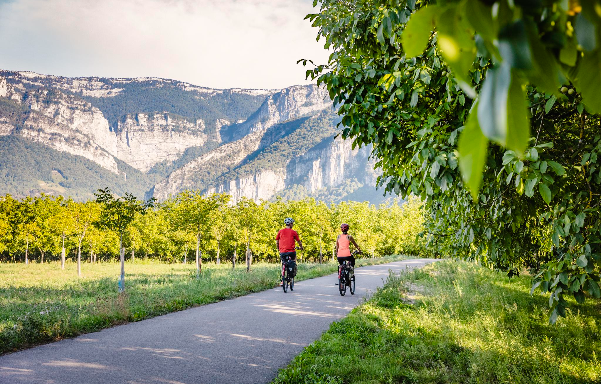
No traffic touring cycling routes around Moirans offer diverse terrain for cyclists, situated between the Isère river and the foothills of the Vercors massif. The landscape features river plains, gentle hills, and more challenging ascents towards panoramic viewpoints. This region provides a mix of flat, accessible paths and routes with significant elevation gain, catering to various fitness levels.
Best no traffic touring cycling routes around Moirans
- The most popular no traffic touring cycling route is View of the Vercors massif…
Last updated: October 6, 2026
4.5
(13)
174
riders
35.1km
02:27
560m
560m
Hard bike ride. Very good fitness required. Mostly paved surfaces. Suitable for all skill levels.
4.0
(3)
48
riders
45.3km
02:37
140m
140m
Moderate bike ride. Good fitness required. Mostly paved surfaces. Suitable for all skill levels.

25
riders
35.7km
02:30
580m
580m
Hard bike ride. Very good fitness required. Mostly paved surfaces. Suitable for all skill levels.
4.0
(1)
21
riders
48.3km
03:57
1,150m
1,150m
Hard bike ride. Very good fitness required. Mostly paved surfaces. Suitable for all skill levels.
20
riders
108km
07:15
1,440m
1,440m
Hard bike ride. Very good fitness required. Mostly paved surfaces. Suitable for all skill levels.
Get access to more routes and recommendations from other explorers.
Already have an account?
Our route recommendations are based on thousands of hikes, rides, and runs completed by other people on komoot.
Start today with a free account
Your next adventure awaits.




Other adventures around Moirans


Tips from the Community

We are surprised to see such a beautiful pond so close to Moirans. Apparently, it seems to be popular with fishermen
0
0

A laid out flat, with occasional views of the Isère and the ver c ors, but frankly a bit boring and frankly along the highway. The crossed rest area looked nice but was crowded with people. The charging and repair station was out of order.
0
0

The Étang de Mayoussard is a 4-hectare body of water located near the commune of Moirans. It is a natural site highly appreciated by local fishermen for its tranquility and the variety of its fish species.
0
0
La Véloroute de l'Isère, officially integrated into the national route La Belle Via (referenced under number V63), is a cycling route of over 200 kilometers that runs along the Isère river. It connects the foothills of Savoie to the Drôme (connection with ViaRhôna), by crossing the entire department of Isère and its capital, Grenoble.
0
0
The Véloroute de l'Isère, officially integrated into the national route La Belle Via (referenced under number V63), is a cycling route of over 200 kilometers that runs along the Isère river. It connects the foothills of Savoie to the Drôme (connection with ViaRhôna), crossing the entire department of Isère and its capital, Grenoble.
0
0
The La Véloroute de l'Isère, officially integrated into the national route La Belle Via (referenced under number V63), is a cycling route of over 200 kilometers that runs along the Isère river. It connects the foothills of Savoie to the Drôme (connection with ViaRhôna), by crossing the entire department of Isère and its capital, Grenoble.
0
0
The Véloroute de l'Isère, officially integrated into the national route La Belle Via (referenced under number V63), is a cycling route of over 200 kilometers that runs along the Isère river. It connects the foothills of Savoie to the Drôme (connection with ViaRhôna), by crossing the entire department of Isère and its capital, Grenoble.
0
0
The Véloroute de l'Isère, officially integrated into the national La Belle Via route (referenced under number V63), is a cycling route of over 200 kilometers that runs along the Isère river. It connects the foothills of Savoie to the Drôme (connection with ViaRhôna), crossing the entire Isère department and its capital, Grenoble.
0
0
Frequently Asked Questions
How many no-traffic touring cycling routes are available around Moirans?
There are 28 dedicated no-traffic touring cycling routes around Moirans, offering a variety of experiences for different skill levels.
Are there any easy, flat, no-traffic touring cycling routes in Moirans?
Yes, Moirans offers 11 easy routes perfect for a relaxed ride. An excellent option is the Along the Isère – Tour de la plaine de tullin loop from Moirans-Galifette, which is 22.7 km long with minimal elevation gain, ideal for enjoying the riverside scenery.
What kind of terrain can I expect on no-traffic touring cycling routes in Moirans?
The terrain around Moirans is quite diverse. While some routes follow the Isère river with gentler gradients, many routes, especially those heading towards the Vercors massif, involve significant ascents and descents. You can find routes ranging from easy, with less than 100 meters of elevation, to difficult, with over 1000 meters of climbing.
Are there any circular no-traffic touring cycling routes in Moirans?
Many of the no-traffic touring cycling routes around Moirans are designed as loops, allowing you to start and finish at the same point. For example, the challenging View of the Vercors massif loop from Moirans-Galifette is a 48.2 km circular route offering stunning panoramic views.
What are some notable landmarks or viewpoints along the no-traffic touring cycling routes?
Cyclists can enjoy breathtaking views of the Vercors massif on several routes. Additionally, the region features natural attractions like the Pisserotte Waterfall and the dramatic Gorges du Crossey. For those seeking higher vantage points, summits like Bec de l'Orient are also nearby.
Are there any challenging no-traffic touring cycling routes for experienced riders?
Absolutely. Moirans offers 12 difficult routes for experienced touring cyclists. A particularly demanding option is the View of the Vercors massif – Toutes Aures Pass loop from Moirans-Galifette, which spans over 108 km with more than 1400 meters of elevation gain.
What do other touring cyclists say about the no-traffic routes in Moirans?
The no-traffic touring cycling routes around Moirans are highly rated by the komoot community, with an average score of 4.3 stars from 149 ratings. Reviewers often praise the scenic views of the Vercors massif and the peaceful, car-free experience on these trails.
Can I access mountain passes on no-traffic touring cycling routes in Moirans?
Yes, several routes incorporate or pass near mountain passes. For instance, the challenging Col de Châtain (684 m) – View of the Vercors massif loop from Moirans-Galifette includes the Col de Châtain (684 m), offering a rewarding climb and descent.
Are there any routes that follow the Isère river?
Yes, Moirans is situated along the Isère river, and several routes take advantage of this scenic waterway. The View of the Vercors massif – Along the Isère loop from Moirans-Galifette is a great example, combining river views with glimpses of the Vercors massif.
What kind of natural monuments can be found near the cycling routes?
Beyond the routes themselves, the area around Moirans is rich in natural beauty. You can explore highlights such as The Cyclone forest area and the impressive La Buffe Summit, providing diverse natural landscapes to discover.
Most popular attractions around Moirans

Get inspired with the komoot mobile app


Explore more
Browse the best Cycling routes in other regions.
