The best walks and hikes around Marthalen
4.6
(1311)
7,225
hikers
18
hikes
Hiking around Marthalen offers diverse landscapes, characterized by the Rhine and Thur rivers, extensive forests, and rolling vineyards. Situated in the Zurich wine country, the region is known for its picturesque natural features and varied terrain. The area provides a mix of riverside paths, forest trails, and routes through agricultural land, making it a notable destination for outdoor activities.
Best hiking trails around Marthalen
- The most popular hiking route is View of Thurspitz – Old Rhine Riverside Path loop from…
Last updated: October 4, 2026
4.7
(73)
320
hikers
Moderate hike. Good fitness required. Easily-accessible paths. Suitable for all skill levels.
4.9
(21)
77
hikers
12.1km
03:12
120m
120m
Moderate hike. Good fitness required. Easily-accessible paths. Suitable for all skill levels.

5.0
(3)
56
hikers
Moderate hike. Good fitness required. Easily-accessible paths. Suitable for all skill levels.
4.5
(4)
14
hikers
2.81km
00:43
10m
10m
Easy hike. Great for any fitness level. Easily-accessible paths. Suitable for all skill levels.
5.0
(3)
9
hikers
25.1km
06:35
210m
210m
Hard hike. Very good fitness required. Easily-accessible paths. Suitable for all skill levels.
Get access to more routes and recommendations from other explorers.
Already have an account?
Our route recommendations are based on thousands of hikes, rides, and runs completed by other people on komoot.
Start today with a free account
Your next adventure awaits.
Tips from the Community

Wonderfully beautiful old half-timbered building
0
0


The Rhine is completely different here in the High Rhine region, the colours alone are simply stunning
0
0

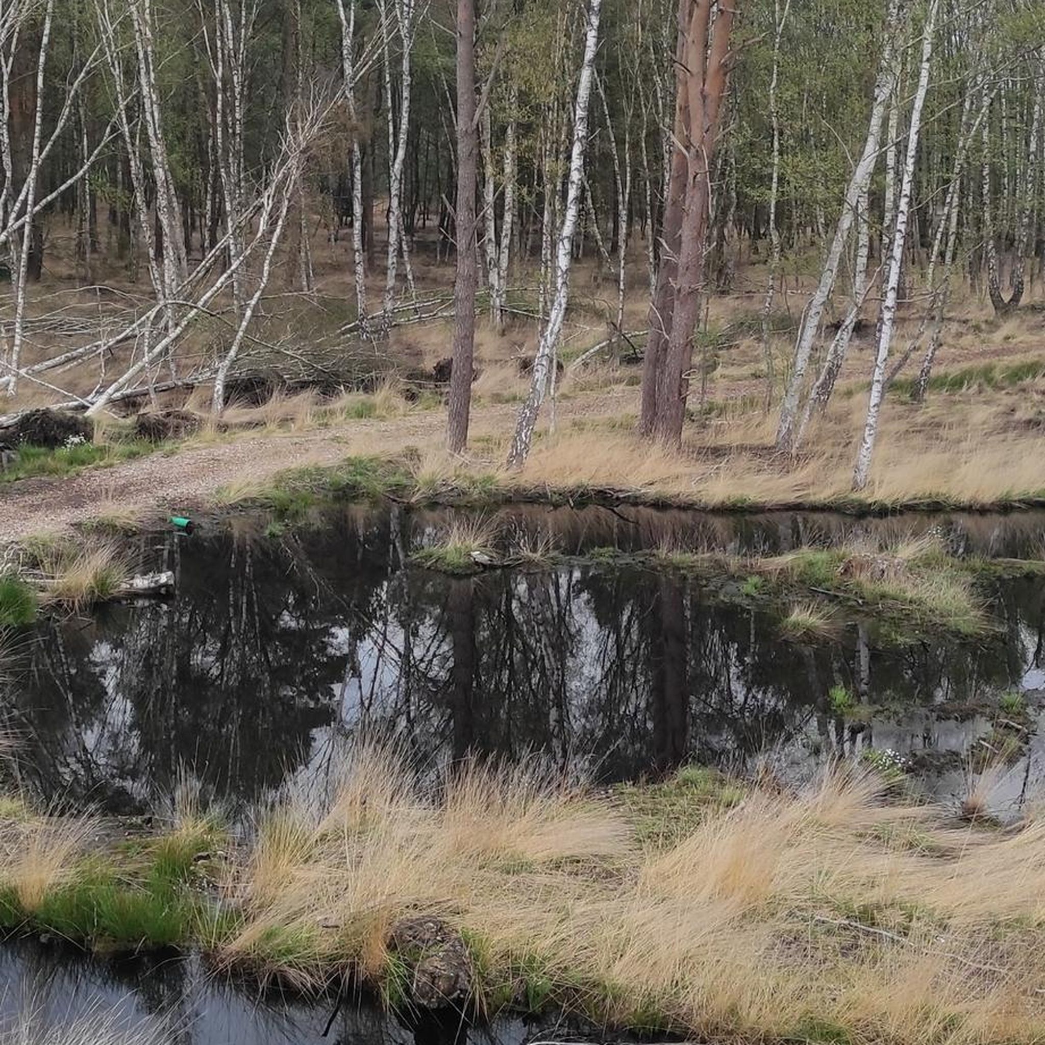
see also the Hiking Highlight https://www.komoot.com/highlight/567991 or the webpage from ProNatura Schweiz https://www.pronatura.ch/de/bibersee-marthalen-zh-toter-wald-oder-lebendiges-feuchtgebiet
0
0
Ellikon Rhine Ferry: Operating April - mid-October, Friday, Saturday, and Sunday 10:00-12:00 and 1:00-7:00 PM. See https://www.rheinfaehre-ellikon.ch/
1
0

The small, unfortunately closed church cannot be completely circumnavigated
6
0
Crossing in one-way traffic... Cars and pedestrians share the roadway here... so ⚠️
8
1
Nice place on a Rhine island, belonging to Switzerland… The church, despite the sign saying it is closed, is open and accessible
6
1
Frequently Asked Questions
How many hiking trails are available around Marthalen?
Marthalen offers a diverse network of 18 hiking trails. These routes cater to various preferences, from leisurely riverside strolls to more challenging long-distance paths through forests and vineyards.
What kind of terrain can I expect on hikes around Marthalen?
The terrain around Marthalen is quite varied. You'll find idyllic riverside paths along the Rhine and Thur rivers, extensive forests, and rolling vineyards. The region is part of the Zurich wine country, so you can also expect to pass through charming farming villages with well-preserved half-timbered houses.
Are there easy hiking options suitable for beginners or families?
Yes, Marthalen has plenty of easy hiking options. Out of the 18 available routes, 11 are graded as easy. A great choice for a shorter, accessible walk is the Bibersee Marthalen loop from Marthalen, which is just 1.7 miles (2.7 km) long and takes about 41 minutes to complete.
What natural features or landmarks can I see while hiking in Marthalen?
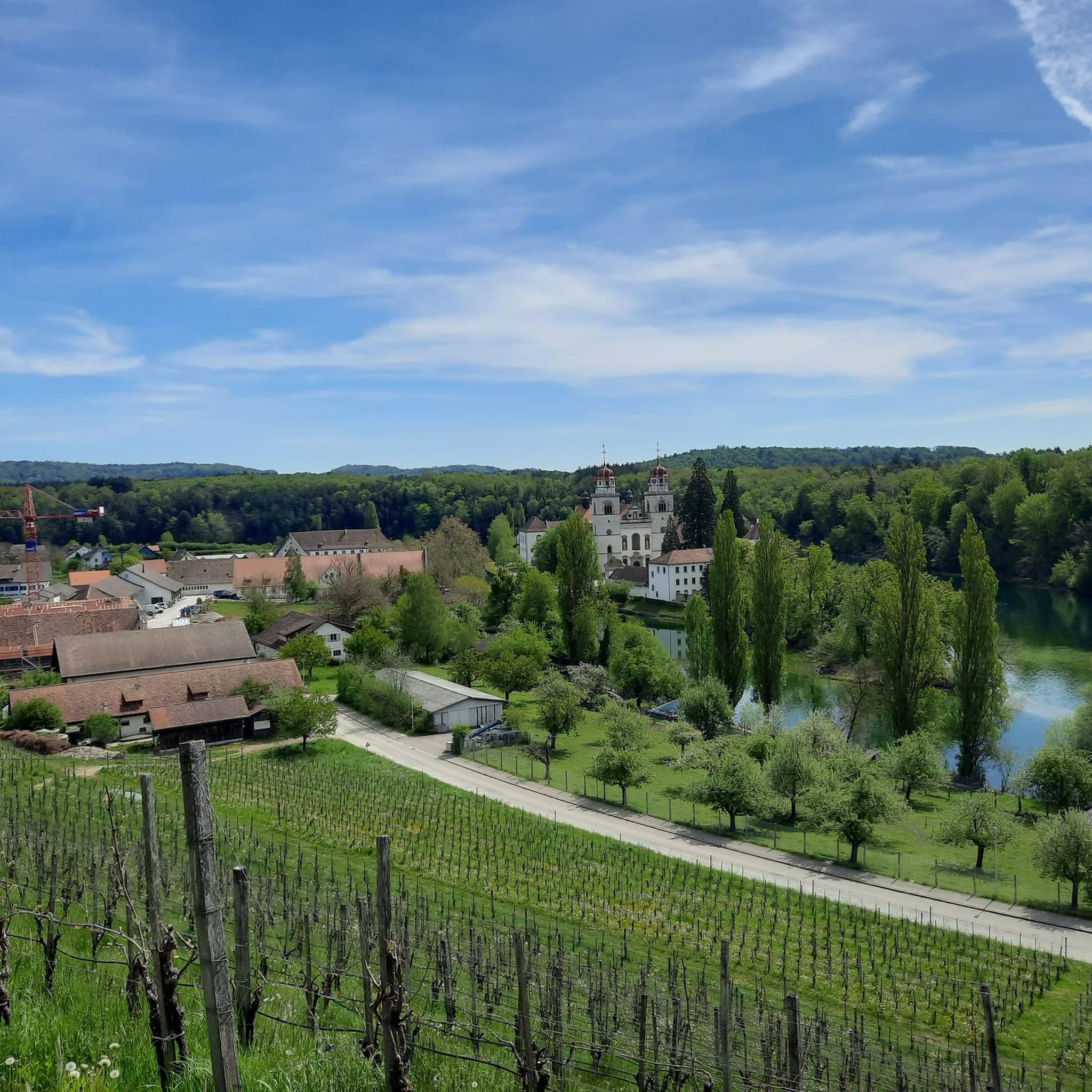
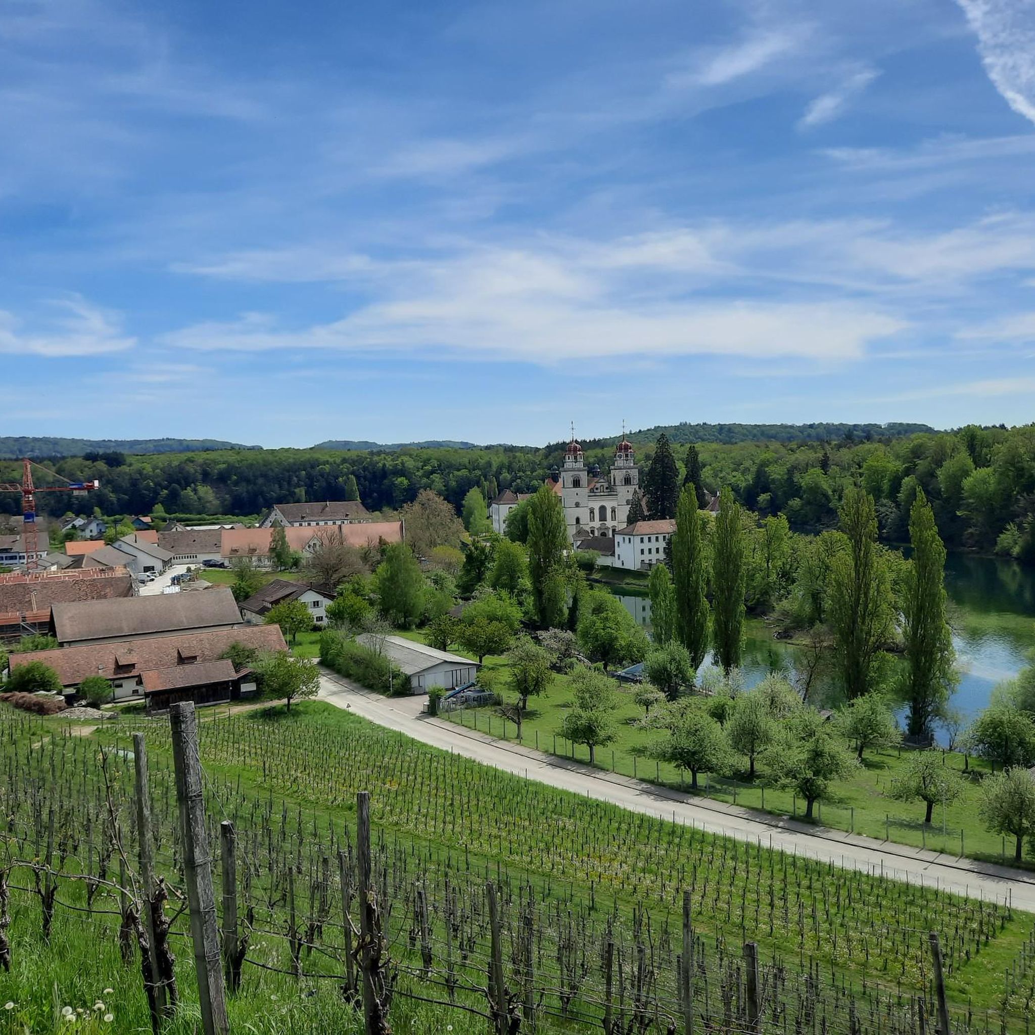
Marthalen is rich in natural beauty and cultural landmarks. You can explore the revitalized Thur floodplains, the scenic Bibersee, and the picturesque Rhine and Thur rivers. Notable cultural stops include the Rheinau Monastery with its famous Baroque church, which you can visit on routes like the Rheinau Monastery – Rheinau Abbey Church loop from Marthalen. For stunning views, consider visiting the Hochwacht Irchel viewpoint or the Hochwacht Wildensbuch Observation Tower.
Are there any circular hiking routes around Marthalen?
Yes, many of the trails around Marthalen are circular, offering convenient starting and ending points. For instance, the popular View of Thurspitz – Old Rhine Riverside Path loop from Nacker Mühle is a 7.7-mile (12.4 km) loop, and the shorter Bibersee Marthalen loop from Marthalen is also a circular route.
What do other hikers enjoy most about hiking in Marthalen?
The hiking trails around Marthalen are highly regarded by the komoot community, with an average rating of 4.7 out of 5 stars from over 1,100 reviews. Hikers frequently praise the diverse landscapes, including the serene riverside paths, the peaceful forests, and the charming vineyard scenery. The well-maintained trails and the variety of difficulty levels are also often highlighted.
Can I find hikes that pass by water features like rivers or lakes?
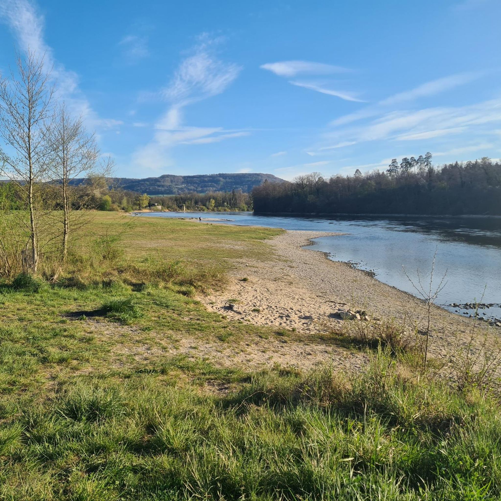
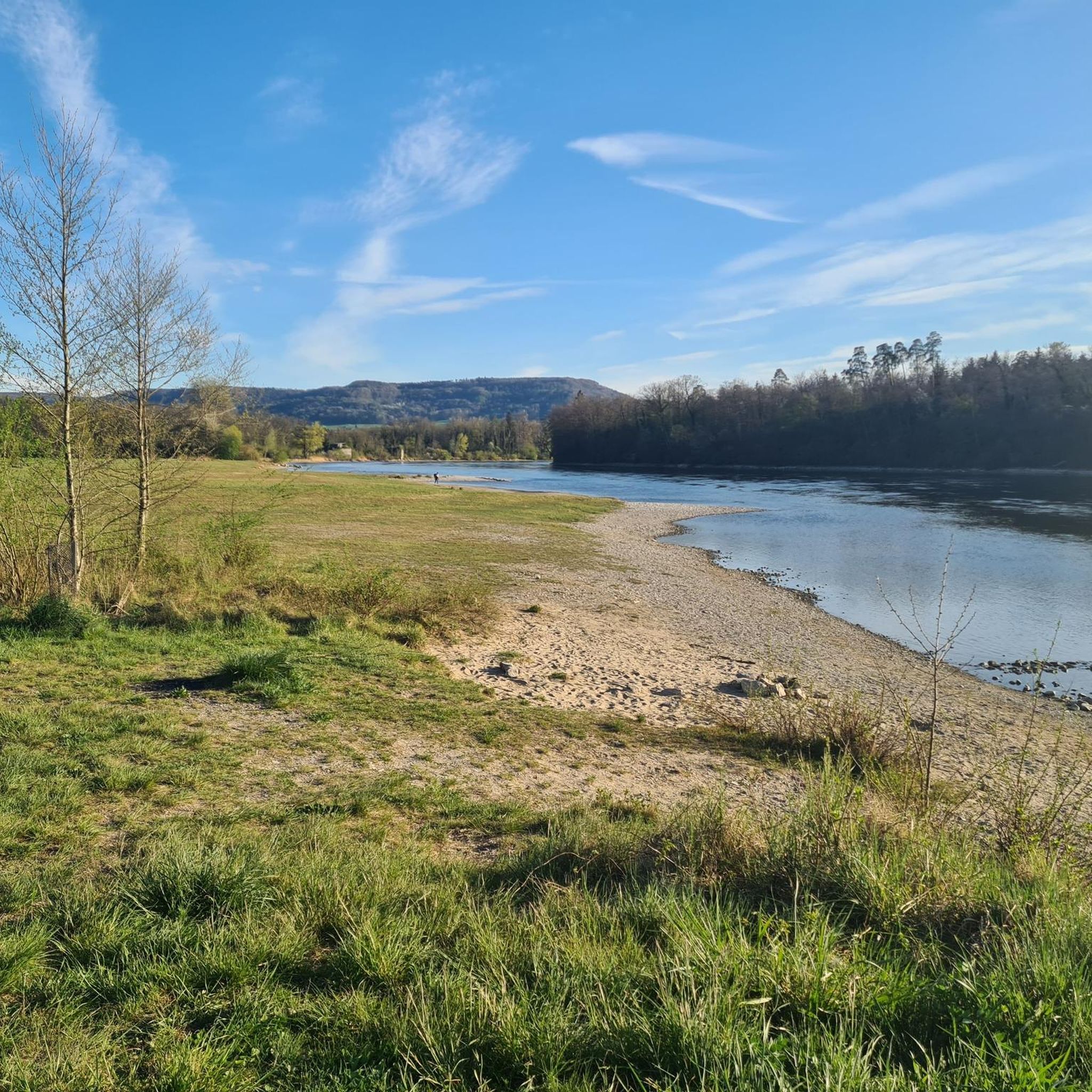
Absolutely. The Rhine and Thur rivers are central to the region's natural beauty, and many trails follow their banks, offering idyllic riverside paths. The Rheinau Covered Bridge – Lottstetten Riverside Meadow loop from Nacker Mühle is a great example of a route exploring riverside meadows. Additionally, the Bibersee (Biber Lake) has a dedicated loop hike, providing a lovely waterside experience.
Are there any waterfalls near Marthalen that I can visit?
Yes, the famous Rhine Falls, Europe's largest waterfall, is located nearby. You can find several viewpoints and even an adventure trail around it, such as the Rhine Falls Adventure Trail, offering spectacular views of this natural wonder.
What is the best time of year to go hiking in Marthalen?
Marthalen offers enjoyable hiking experiences throughout much of the year. Spring and autumn are particularly pleasant, with mild temperatures and beautiful scenery as the vineyards change color. Summer is also popular, especially for riverside walks, while some trails may be suitable for winter walks, depending on snow conditions.
Are there options for public transport to reach hiking trailheads in Marthalen?
Marthalen is well-connected within the Zurich wine country. Public transport options, including local buses and trains, can help you reach various starting points for hikes. It's advisable to check local transport schedules for specific trailheads before your trip.
Are there any historical sites or cultural attractions to explore while hiking?
Beyond the natural landscapes, Marthalen's region is rich in history. The Rheinau Monastery, with its impressive Baroque church, is a significant cultural landmark that can be incorporated into longer hikes. The charming half-timbered houses in the surrounding villages also offer a glimpse into the region's heritage.
What is the typical duration of hikes around Marthalen?
Hikes around Marthalen vary significantly in duration. Shorter, easy routes like the Bibersee Marthalen loop can be completed in under an hour. Moderate trails, such as the Ellikon am Rhein Free Parking – View of the Rhine loop from Nacker Mühle, typically take around 2 hours and 15 minutes. Longer, more challenging routes can extend to over 6 hours.
Most popular routes around Marthalen
Most popular attractions around Marthalen

Get inspired with the komoot mobile app


Explore more
Browse the best Hikes in other regions.
