The best traffic-free bike rides around Plancher-Les-Mines
4.3
(18)
226
riders
12
rides
No traffic gravel bike trails around Plancher-Les-Mines are situated within the Southern Vosges Mountains, offering varied terrain for gravel biking. The region features challenging ascents, extensive forests, and unique wetlands like the Plateau des 1000 Étangs. Gravel bikers can explore a landscape shaped by both natural features and a rich mining heritage, providing diverse routes across paved and unpaved surfaces.
Best no traffic gravel bike trails around Plancher-Les-Mines
- The most popular no traffic gravel bike trail is Ballon de Servance…
Last updated: October 6, 2026
5.0
(1)
23
riders
45.7km
03:11
1,070m
1,070m
Hard gravel ride. Very good fitness required. Mostly paved surfaces. Suitable for all skill levels.
5.0
(2)
18
riders
51.3km
03:45
1,390m
1,390m
Hard gravel ride. Very good fitness required. Mostly paved surfaces. Suitable for all skill levels.

16
riders
Hard gravel ride. Very good fitness required. Mostly paved surfaces. Suitable for all skill levels.
3.0
(3)
6
riders
Hard gravel ride. Very good fitness required. Mostly paved surfaces. Suitable for all skill levels.
5
riders
40.4km
02:49
570m
570m
Hard gravel ride. Very good fitness required. Mostly paved surfaces. Suitable for all skill levels.
Get access to more routes and recommendations from other explorers.
Already have an account?
Our route recommendations are based on thousands of hikes, rides, and runs completed by other people on komoot.
Start today with a free account
Your next adventure awaits.





Tips from the Community

From the dam, you can enjoy a wide view over the reservoir. The striking reddish-brown banks contrast beautifully with the water and the wooded hills of the Vosges in the background.
4
0
De Col des Croix is a 679-meter-high mountain pass in the French Vogezen massif, located on the border of the Vosges and Haute-Saône departments. The pass forms an accessible connecting road (the D486) between the northern Le Thillot and the southern Servance. At the top, you will find the well-known Le Chalet Snack du Col des Croix, and the road splits towards the D16 (Route des Forts), the route that continues to the higher Ballon de Servance.
5
0
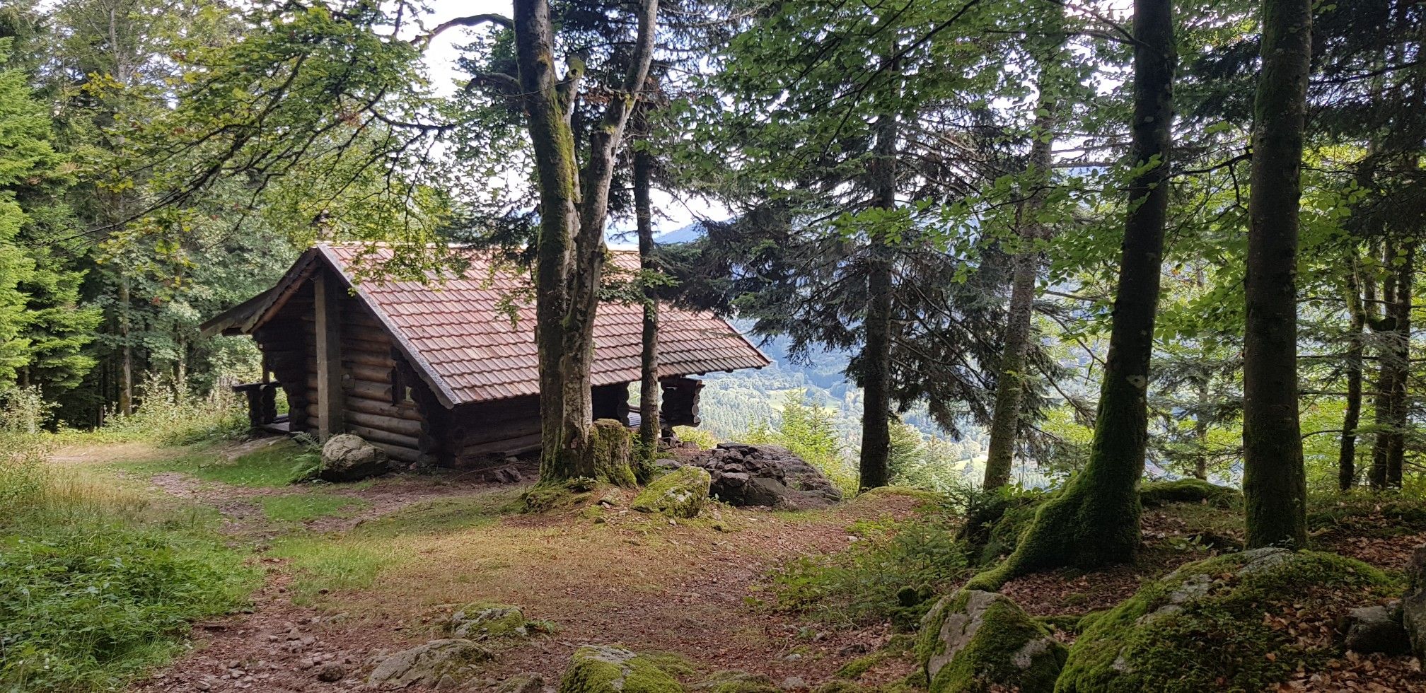
The end of the climb is somewhat disappointing. There is nothing marked. No photo opportunity. You have a small parking lot, a closed military road, and a picnic spot well hidden under the trees. At the two yellow signs (mainly for hikers) there is the only indication that you are at the Ballon de Servance and at 1158 m. The climb is "cozy". No cars, completely shaded, a few kilometer markers.
5
0
La Planche des Belles Filles is a 5.8 kilometer climb. It is a category 1 climb. It is located in Plancher Les Mines, Franche-Comté, France. The average gradient of this climb is 8.6% with a maximum of 13.6%. La Planche des Belles Filles climbs from 527 meters at the start to 1,033 meters at the summit, for a total elevation gain of 506 meters.
5
0
This 5.9-kilometer climb from the village of Plancher-les-Mines in Haute-Saône is one of the most difficult in the Vosges. Indeed, cyclists who want to try it will need to be at least somewhat trained. With a gradient of 24% towards the end of the route, it's better to be well-attached. The gradient never seems to ease, with its hairpin bends and, upon reaching the resort, the last 2 kilometers rise like a wall. However, you'll be able to say that you've done it, so come and try the climb of La Planche too!
6
0

beautiful cycle path along the Moselle
1
0
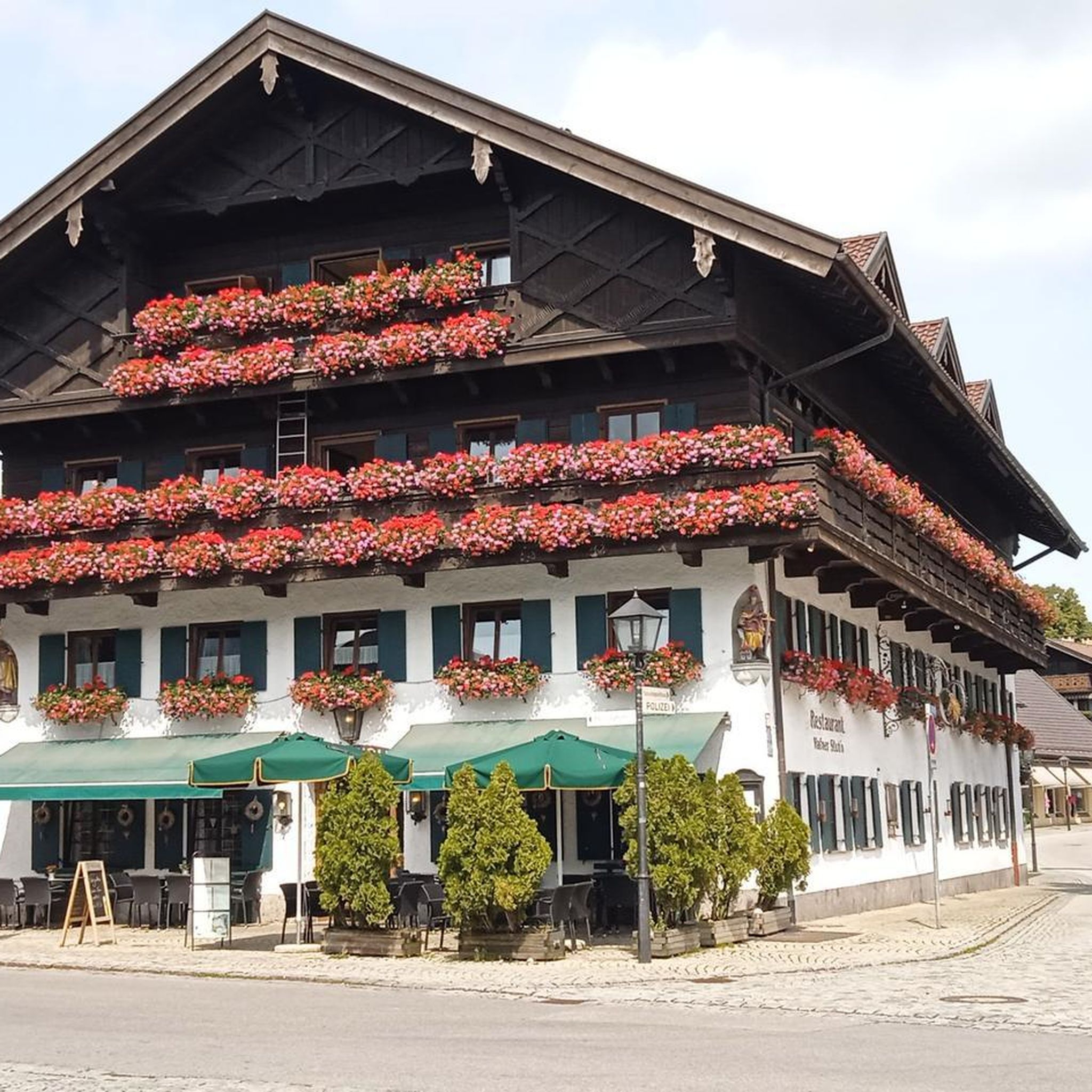
Beautiful building in Bussang
0
0
We now follow the Moselradweg to Koblenz
0
0
Frequently Asked Questions
How many no-traffic gravel bike trails are available around Plancher-Les-Mines?
The region around Plancher-Les-Mines offers a good selection of traffic-free gravel bike trails. Our guide features 9 routes specifically curated for a car-free experience, ranging from moderate to difficult, ensuring a peaceful ride through the stunning landscapes of the Southern Vosges.
Are there any beginner-friendly no-traffic gravel bike routes in Plancher-Les-Mines?
While many routes in this mountainous region are quite challenging, requiring good fitness and advanced skills, the Plateau des 1000 Étangs, also known as "Little Finland," offers more gentle terrain. While specific beginner-friendly routes are not highlighted in this guide, the unique landscape of peat bogs, ponds, and forests provides a less intense environment for exploration, contrasting with the demanding mountain climbs.
What kind of landscapes can I expect on traffic-free gravel bike trails near Plancher-Les-Mines?
You can expect a diverse range of landscapes. Trails often traverse extensive forests and moorlands, offering breathtaking vistas from elevated points. The region is characterized by the Southern Vosges mountains, with iconic climbs like La Planche des Belles Filles, and unique natural areas like the Plateau des 1000 Étangs with its numerous ponds and wetlands.
Are there any circular no-traffic gravel bike routes available?
Yes, several routes in the area are designed as loops, allowing you to start and finish at the same point. For example, the challenging Ballon de Servance – La Planche des Belles Filles loop from Saint-Maurice-sur-Moselle offers a substantial ride with significant elevation gains. Another option is the Pinot Ramp – La Planche des Belles Filles loop from Réserve naturelle des Ballons Comtois.
What are some scenic viewpoints or attractions along these traffic-free gravel routes?
Many routes offer spectacular panoramic views. The summit of La Planche des Belles Filles provides expansive views of the Haute-Saône mountains, the Vosges, the Jura, and even the Alps on clear days. Other notable peaks like Ballon d'Alsace and Ballon de Servance also offer stunning vistas. Additionally, the Plateau des 1000 Étangs is a unique natural attraction.
Can I find routes that explore the region's mining heritage without traffic?
Yes, the region has a rich industrial and mining past. While specific routes in this guide might not explicitly focus on mining, the general area offers trails that follow old miners' paths, where you can still find mineral samples. The spirit of exploration, similar to events like "Gravel is Mine," is inherent in discovering the historical and natural terrain around Plancher-Les-Mines.
What is the best time of year for no-traffic gravel biking in Plancher-Les-Mines?
The best time for gravel biking in Plancher-Les-Mines is generally from spring to autumn. During these seasons, the weather is more favorable, and the trails are typically clear of snow and ice, especially at higher elevations. Summer offers longer daylight hours, but spring and autumn provide pleasant temperatures and vibrant foliage.
Are there any challenging no-traffic gravel routes for experienced riders?
Absolutely. Plancher-Les-Mines is known for its demanding terrain. Routes like the La Planche des Belles Filles – Ballon de Servance loop from Le Thillot feature significant elevation gains and are described as 'difficult,' requiring good to very good fitness and advanced riding skills. These routes often combine paved and unpaved surfaces, perfect for a challenging gravel bike adventure.
What do other gravel bikers enjoy most about the traffic-free trails in Plancher-Les-Mines?
The area is highly rated by the komoot community, with an average score of 4.1 stars. Reviewers often praise the challenging yet rewarding climbs, the stunning panoramic views from peaks like La Planche des Belles Filles, and the peaceful, traffic-free nature of the trails that allow for immersive rides through diverse natural landscapes.
Are there any routes that pass by lakes or water features?
Yes, the region is home to unique water features. The Plateau des 1000 Étangs is characterized by its numerous ponds and wetlands, offering a distinct riding experience. While not a large lake, the La Diaichotte Forest Cabin – Réchal Pond loop from Champagney includes a pond, providing a tranquil setting along the trail.
Where can I find parking for these no-traffic gravel bike trails?
Many of the routes start from villages or designated parking areas that serve as convenient access points for outdoor activities. For instance, routes often begin from locations like Saint-Maurice-sur-Moselle, Réserve naturelle des Ballons Comtois, Bussang, Champagney, or Le Thillot. It's advisable to check the specific route details on komoot for recommended starting points and parking information.
Most popular routes around Plancher-Les-Mines
Most popular attractions around Plancher-Les-Mines

Get inspired with the komoot mobile app


Explore more
Browse the best Gravel rides in other regions.
