The best walks and hikes around Mauerkirchen
4.5
(157)
1,190
hikers
180
hikes
Hiking around Mauerkirchen offers diverse landscapes for outdoor enthusiasts. The region features varied terrain, including forests and river valleys, providing scenic routes. Accessible hiking trails allow visitors to experience nature up close, with many easy walks and light hikes available. The Mattig River is a prominent natural feature, often incorporated into local routes.
Best hiking trails around Mauerkirchen
- The most popular hiking route is St. Stephanus Church loop from Uttendorf, a 2.7 miles (4.3 km) trail that takes 1…
Last updated: July 1, 2026
5.0
(1)
7
hikers
Moderate hike. Good fitness required. Easily-accessible paths. Suitable for all skill levels.
5.0
(1)
15
hikers
4.79km
01:13
10m
10m
Easy hike. Great for any fitness level. Easily-accessible paths. Suitable for all skill levels.

Sign up for free
14
hikers
5.52km
01:24
10m
10m
Easy hike. Great for any fitness level. Easily-accessible paths. Suitable for all skill levels.
5.0
(1)
3
hikers
Moderate hike. Good fitness required. Easily-accessible paths. Suitable for all skill levels.
3
hikers
Moderate hike. Good fitness required. Easily-accessible paths. Suitable for all skill levels.
Get access to more routes and recommendations from other explorers.
Sign up for free
Already have an account?
Our route recommendations are based on thousands of hikes, rides, and runs completed by other people on komoot.
Start today with a free account
Your next adventure awaits.
Login or Signup
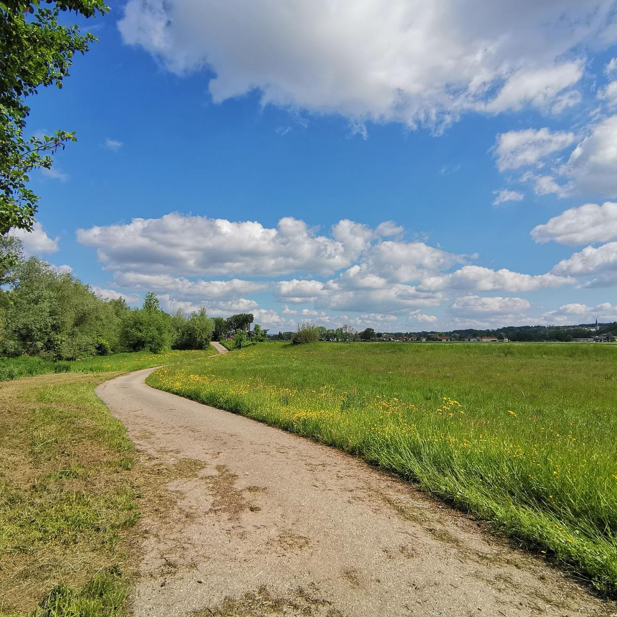
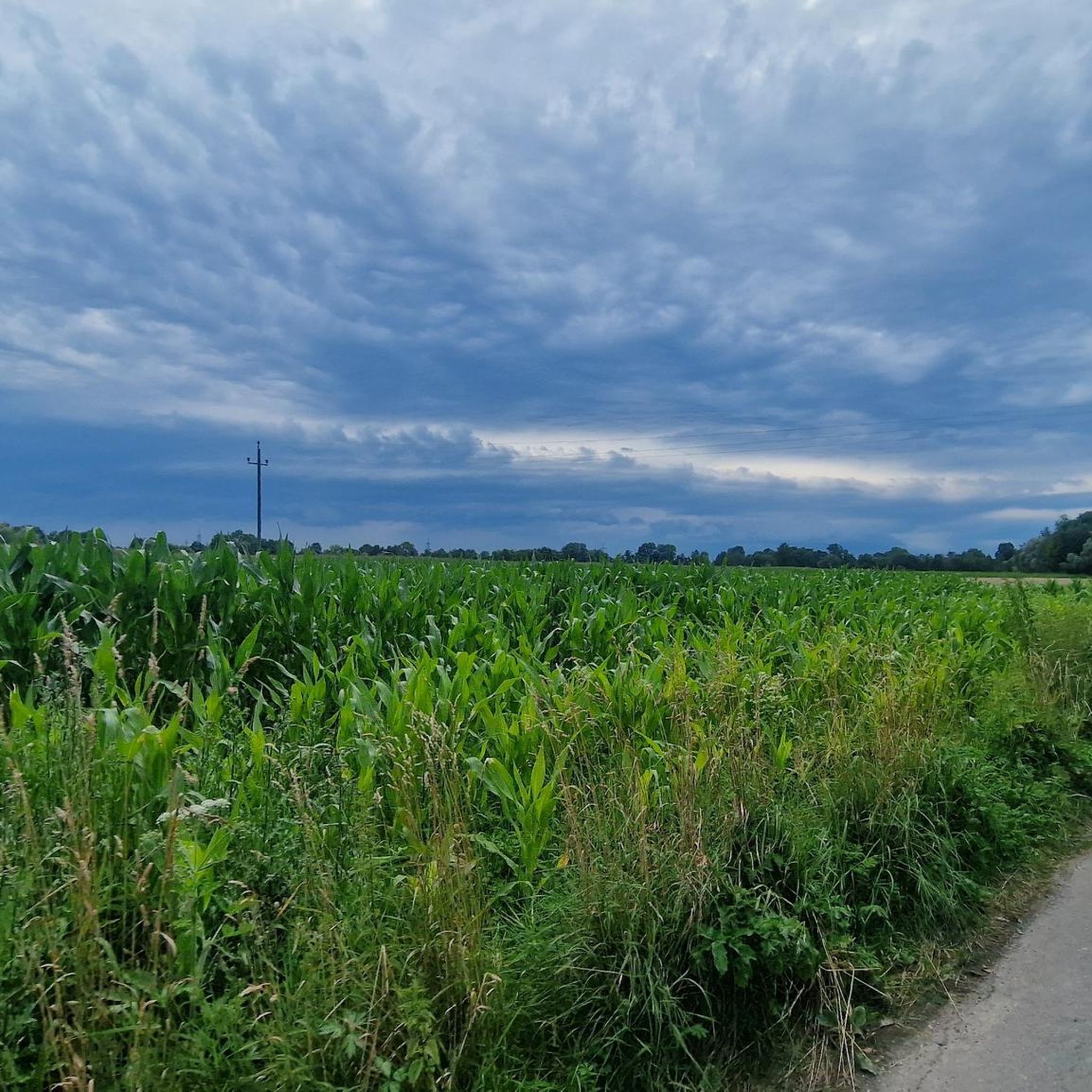
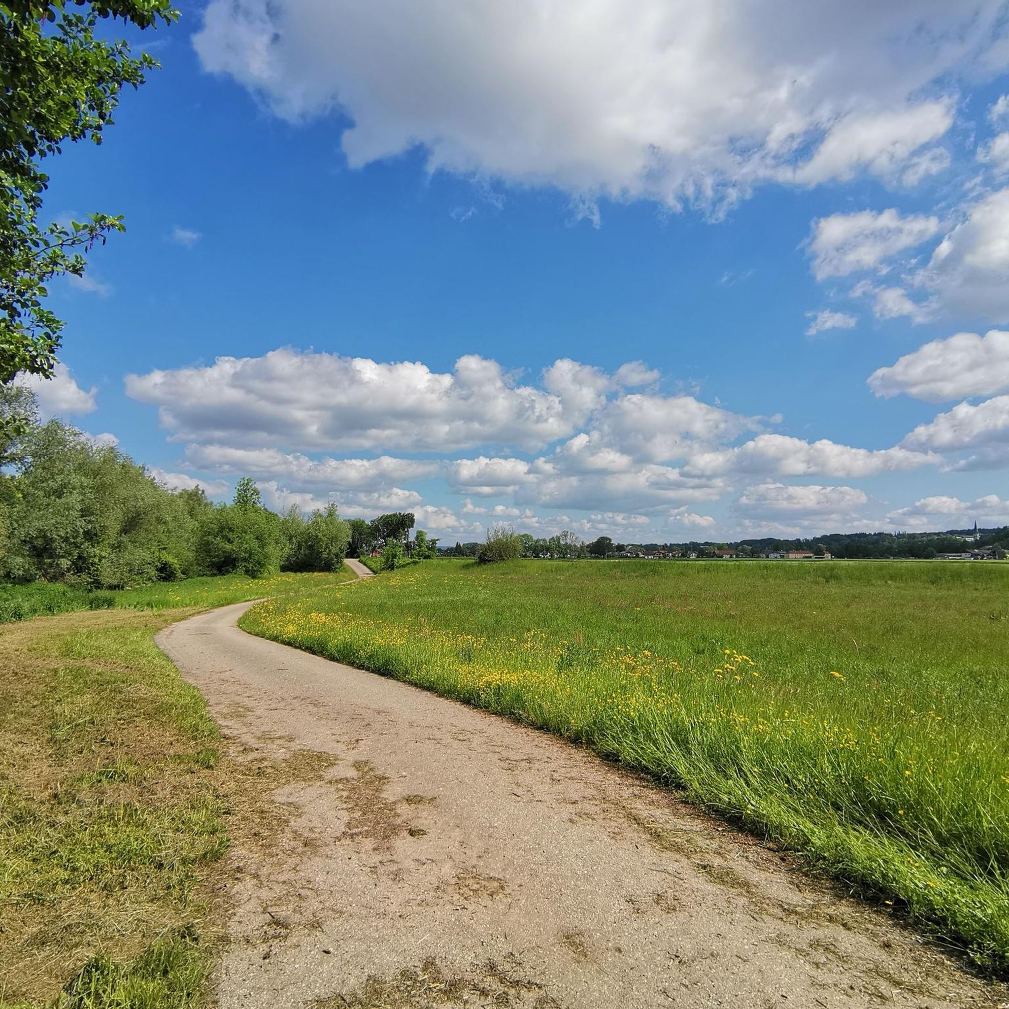
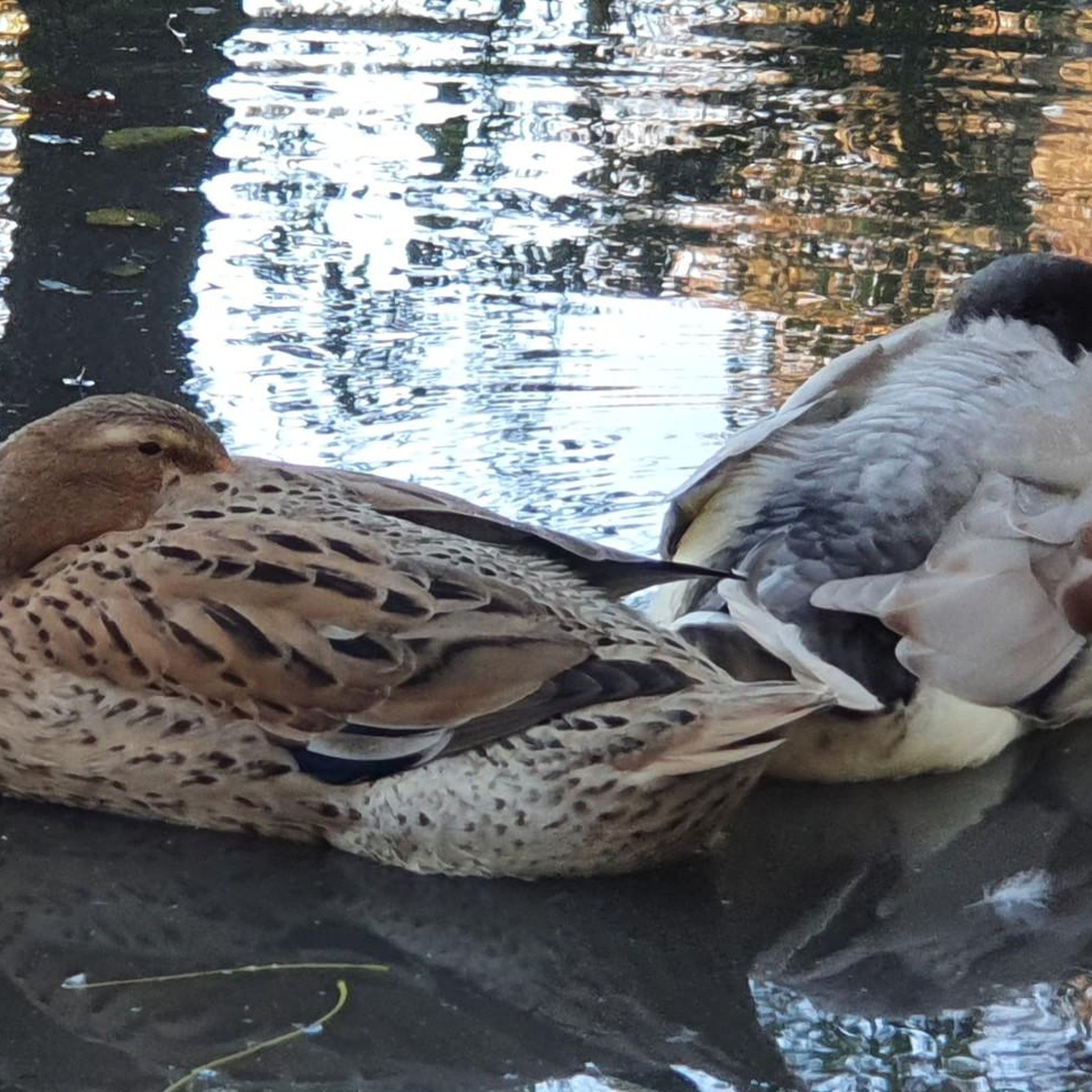
Tips from the Community

Easy tour suitable for beginners, Scenically beautiful on many cycle paths and side roads
0
0

Here you cross the Mattig on a bridge and have a great view of the river with its crystal clear water.
0
0

Catholic parish church hl. Stephan, church, is in Upper Austria. Catholic parish church hl. Stephan is located in Helpfau, near the Holy Cross Chapel in the Wieshof.
1
0
The originally Gothic building was demolished between 1724 and 1735 and replaced by a new Baroque building, built by Johann Baptist Canta. The church burned down in 1775, but was soon rebuilt with the help of the builder Franz Anton Glonner (completed in 1779). In 1891 the frescoes were renovated by Carl Gesch. The last interior restoration took place in 1991/92.
1
0

The Roman Catholic parish church Helpfau is located in Helpfau in the municipality Helpfau-Uttendorf in the Braunau am Inn district in Upper Austria. The church, dedicated to St. Stephen, belongs to the Mattighofen dean's office in the diocese of Linz. The church and the cemetery are listed buildings. A church was mentioned in a document in 1224. The Gothic church was demolished and is preserved in the core of the converted tower. From 1724 to 1735 the church was rebuilt with the master bricklayer Johann Baptist Canta from Burghausen. A fire destroyed the church's interior in 1775. From 1776 to 1781 the church building was restored with the builder Franz Anton Glonner from Burghausen. Source: de.wikipedia.org/wiki/Pfarrkirche_Helpfau
0
0

The Mattig is a 55-kilometer-long river and is considered Bach in Salzburger Flachgau and as a river in the Upper Austrian Innviertel.
0
0
Looks mystical somehow.
2
0

Beautiful hiking trail along the Mattig.
0
1
Frequently Asked Questions
How many hiking trails are available around Mauerkirchen?
There are over 170 hiking routes around Mauerkirchen, offering a diverse range of experiences. Most of these, around 110, are considered easy, while about 60 are moderate. There are no difficult trails listed, making the area very accessible.
What kind of terrain can I expect on hikes in Mauerkirchen?
The Mauerkirchen region features a varied landscape, primarily characterized by forests and river valleys. You'll find scenic routes along the Mattig River, as well as paths winding through the local countryside, suitable for different fitness levels.
Are there any easy, family-friendly hikes in Mauerkirchen?
Yes, Mauerkirchen is known for its accessible trails and easy walks, perfect for families. An example is the Wayside Crucifix loop from Mauerkirchen, which is an easy 3.0-mile (4.8 km) trail through the countryside, typically completed in about 1 hour and 13 minutes.
What do other hikers say about the trails in Mauerkirchen?
The hiking routes in Mauerkirchen are highly rated by the komoot community, with an average score of 4.5 stars from over 120 reviews. Hikers often praise the varied terrain, the accessible paths, and the scenic beauty of the river valleys and forests.
Are there any circular hiking routes in the area?
Many of the trails around Mauerkirchen are circular, allowing you to start and end at the same point. For instance, the St. Stephanus Church loop from Uttendorf is an easy 2.7-mile (4.3 km) circular walk, and the View of the Mattig River – Mattig River loop from Mauerkirchen offers another pleasant circular option.
What natural features or viewpoints can I expect to see on a hike?
The Mattig River is a prominent natural feature, and many routes offer views of it, such as the View of the Mattig River – Mattig River loop from Mauerkirchen. You might also encounter the Bridge Over the Mattig. For a unique natural sight, consider visiting the Moss-Covered Cliffs with Small Waterfalls nearby.
Are there any historical or cultural landmarks near the hiking trails?
Yes, the region offers several interesting landmarks. The Pilgrimage Church of St. Florian bei Helpfau is a significant site that can be explored on a moderate 5.8-mile (9.4 km) loop trail. Additionally, the Pilgrimage Church Maria Schmolln and Hagenau Castle are notable attractions in the vicinity.
What is the best time of year to go hiking in Mauerkirchen?
Mauerkirchen offers appealing hiking opportunities throughout much of the year. The accessible trails and varied landscapes make it suitable for spring, summer, and autumn. While specific winter conditions vary, some easy paths might be enjoyable for winter walks, but always check local conditions.
Are there any trails that pass by the Mattig River?
Absolutely. The Mattig River is a central feature of the region's hiking network. Routes like the Pilgrimage Church of St. Florian bei Helpfau – Mattig River loop from Mauerkirchen and the View of the Mattig River – Mattig River loop from Mauerkirchen specifically incorporate the river into their paths, offering scenic riverside walks.
Are there any nearby towns or attractions worth visiting after a hike?
Yes, after your hike, you might consider visiting the nearby Braunau Town Square, which is known for its very beautiful old town and is definitely worth a visit. It offers a cultural complement to the natural beauty of the hiking trails.
Are there any trails suitable for beginners?
Mauerkirchen is an excellent area for beginners, with a large number of easy walks. Over 110 of the routes are classified as easy, providing gentle terrain and shorter distances. The St. Stephanus Church loop from Uttendorf-Helpfau is a good example of an easy, accessible trail for those new to hiking.
Most popular routes around Mauerkirchen
Most popular attractions around Mauerkirchen

Get inspired with the komoot mobile app


Explore more
Browse the best Hikes in other regions.
