The best walks and hikes around Mauern
4.4
(1569)
7,668
hikers
49
hikes
Hiking around Mauern offers a network of trails through the gentle landscapes of Bavaria. The region is characterized by its rolling hills, agricultural fields, and stretches of woodland, often featuring historical landmarks. Many routes follow local streams and rivers, providing varied scenery. This area provides accessible outdoor experiences, primarily featuring easy to moderate terrain suitable for a range of abilities.
Best hiking trails around Mauern
- The most popular hiking route is Historical Flood Trail Mauern – Hofmark Castle Mauern loop…
Last updated: July 4, 2026
5.0
(4)
21
hikers
Easy hike. Great for any fitness level. Easily-accessible paths. Suitable for all skill levels.
4.5
(4)
12
hikers
4.61km
01:14
50m
50m
Easy hike. Great for any fitness level. Easily-accessible paths. Suitable for all skill levels.

Sign up for free
3.3
(3)
10
hikers
24.6km
06:39
320m
320m
Hard hike. Very good fitness required. Easily-accessible paths. Suitable for all skill levels.
5.0
(1)
7
hikers
7.49km
01:58
60m
60m
Easy hike. Great for any fitness level. Easily-accessible paths. Suitable for all skill levels.
5.0
(3)
9
hikers
6.10km
01:38
70m
70m
Easy hike. Great for any fitness level. Easily-accessible paths. Suitable for all skill levels.
Get access to more routes and recommendations from other explorers.
Sign up for free
Already have an account?
Our route recommendations are based on thousands of hikes, rides, and runs completed by other people on komoot.
Start today with a free account
Your next adventure awaits.
Login or Signup
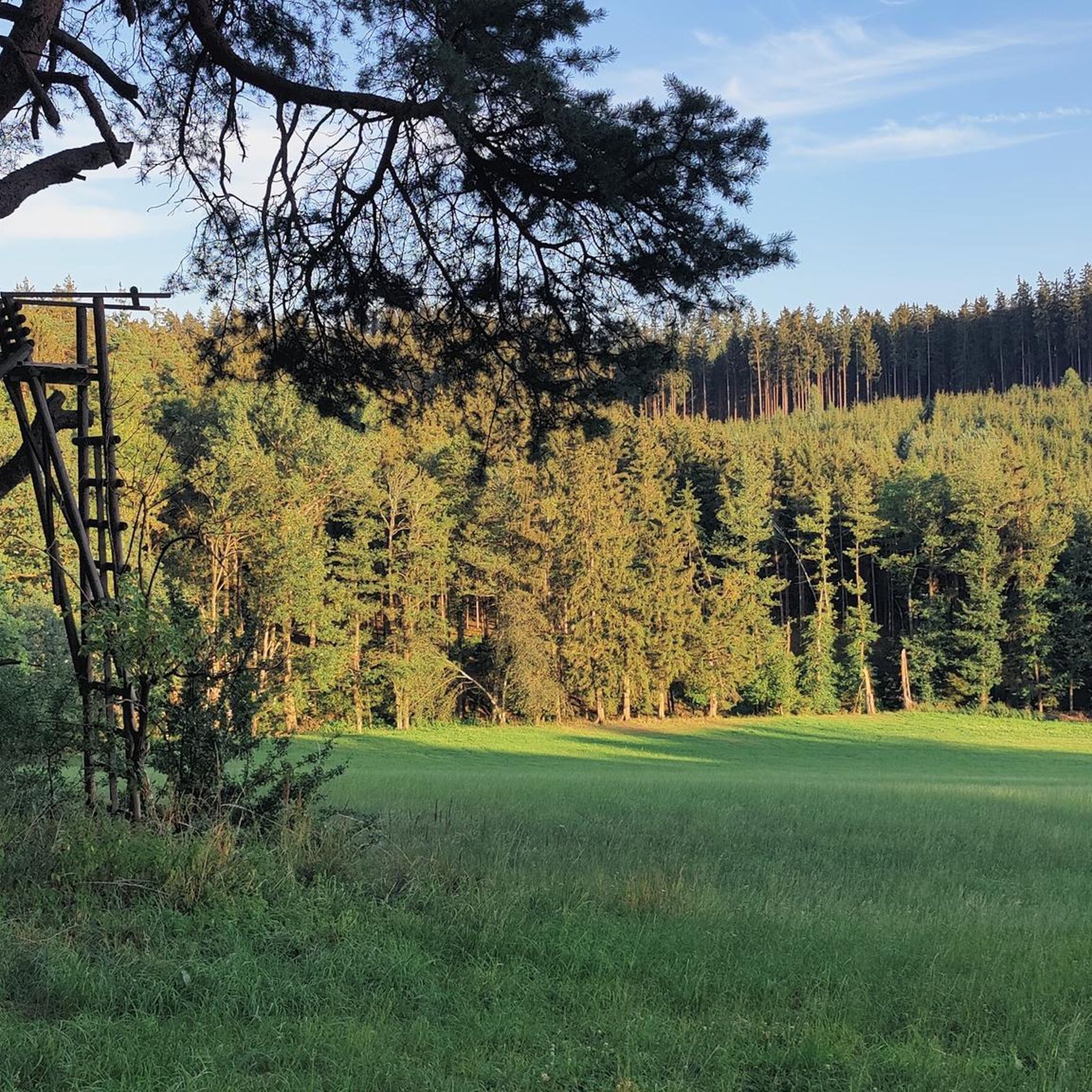
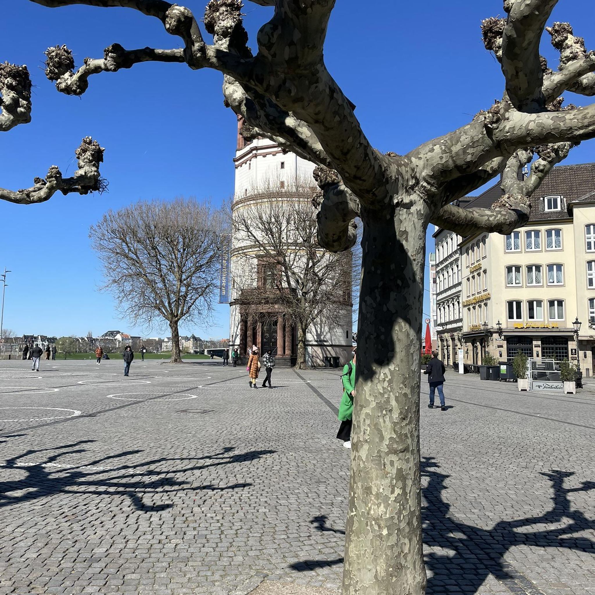
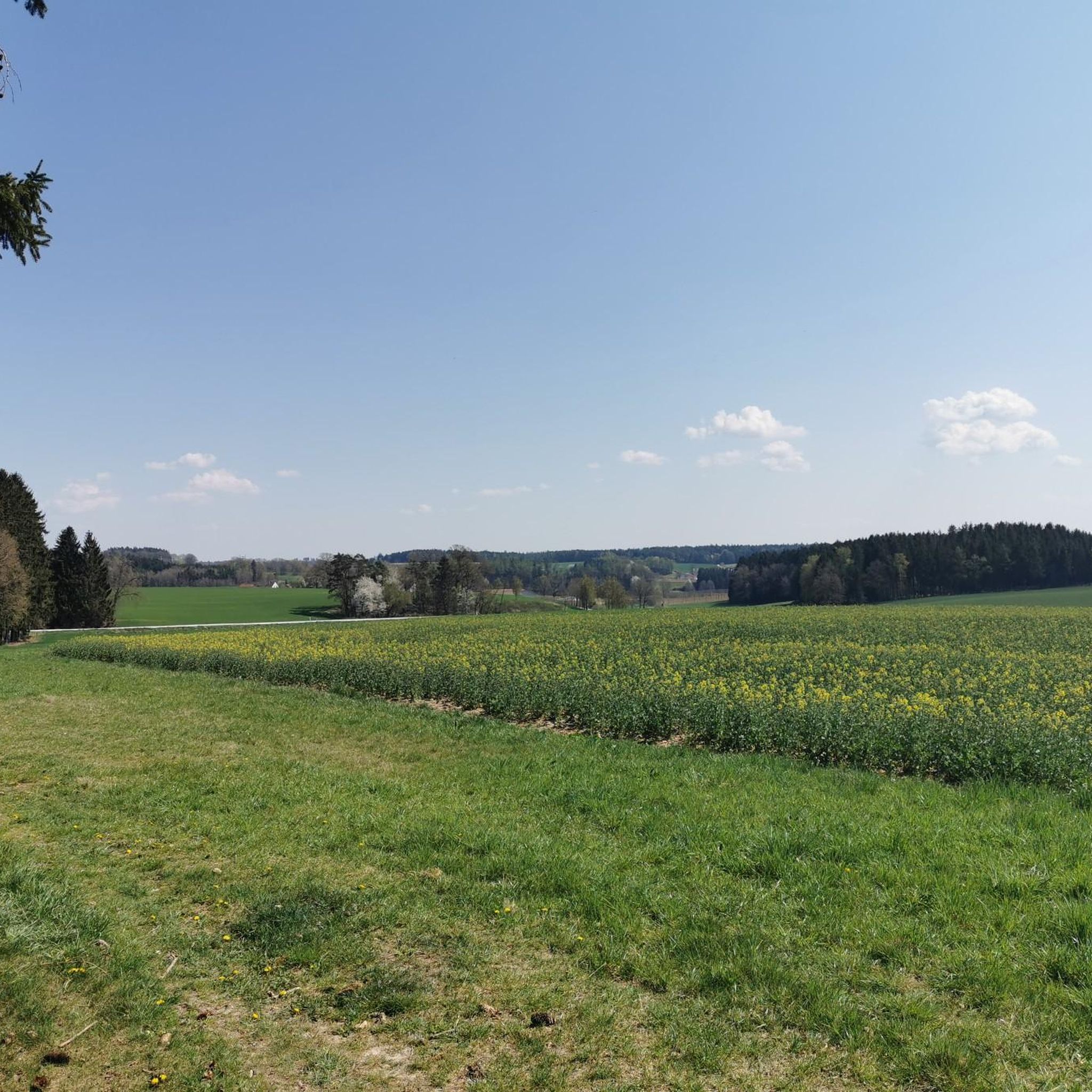
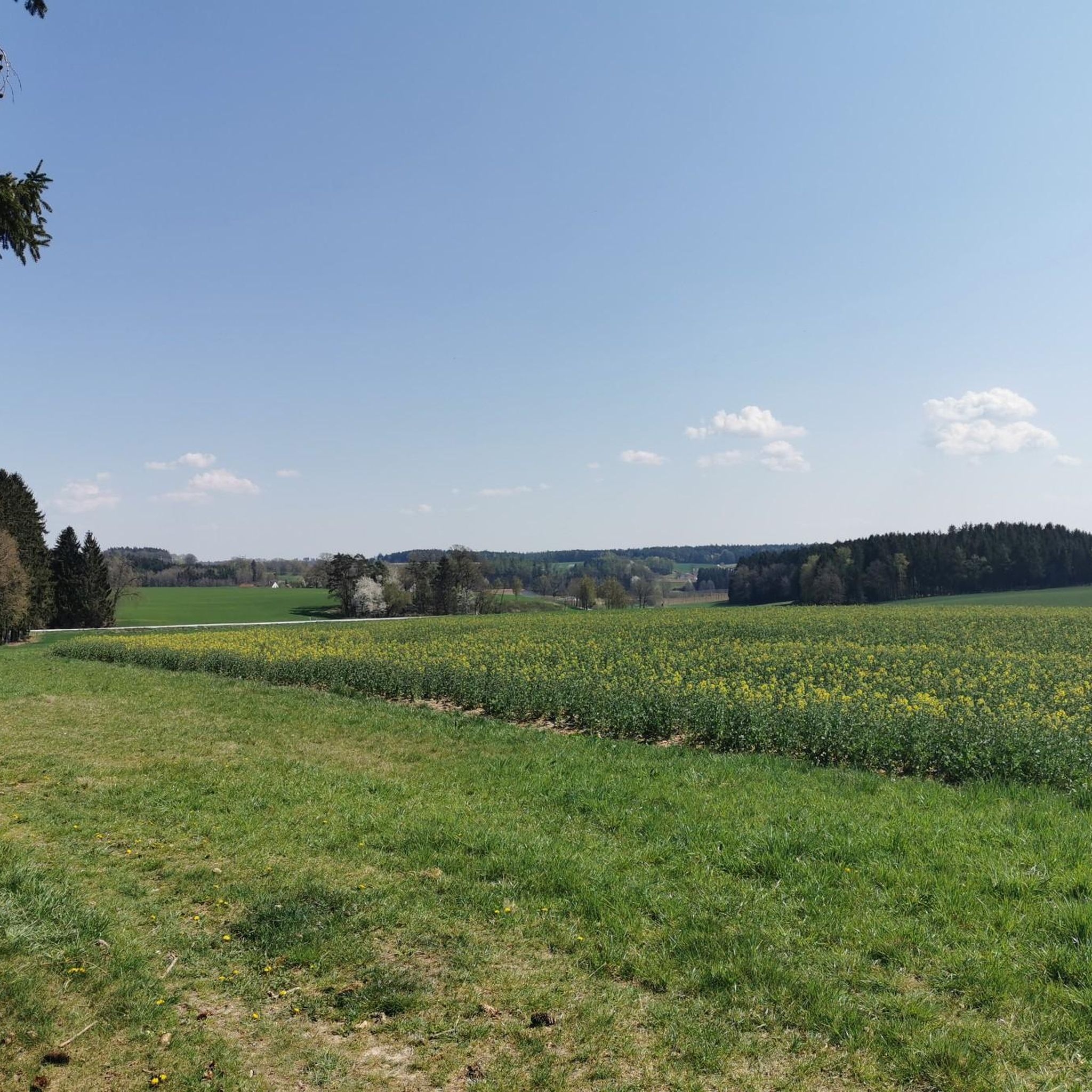
Tips from the Community

Very beautiful and trusting animals
0
0
A very beautiful church
0
0

The former Hofmark Castle in Mauern was built in its current form in 1687 on the site of a presumably wooden predecessor. In 1785, the roof truss was removed and the mansard floor with a hipped roof was added. This small, Baroque-style Hofmark Castle in Mauern in the Freising district is now the town hall of the municipality of Mauern and the seat of the Mauern administrative community.
0
0

Chapels 1690, nave and tower 1713. The painting from 1790. The altars at the end of the 18th century.
0
0

A nice view of the town center.
1
0
There is a wonderful view over this section.
1
0
Frequently Asked Questions
How many hiking trails are available around Mauern?
There are over 50 hiking trails around Mauern, offering a diverse range of experiences. The majority, about 45, are classified as easy, with 8 moderate and 1 difficult route available for those seeking more challenge.
Are there any family-friendly hiking options in Mauern?
Yes, Mauern offers several family-friendly routes. The region's gentle hills and agricultural plains make for pleasant walks. An excellent choice is the Mauern Castle loop from Mauern, an easy 4.5 km path that provides scenic views around the local castle, perfect for a leisurely outing with children.
What kind of landscapes can I expect to see while hiking in Mauern?
Hiking in Mauern takes you through gentle hills, expansive agricultural fields, and peaceful stretches of woodland. Many routes follow local streams and rivers, offering varied scenery. You'll encounter a blend of natural paths and historical landmarks, characteristic of the Bavarian countryside.
Are there any circular hiking routes in Mauern?
Yes, many of the trails in Mauern are circular, allowing you to start and end in the same location. For example, the Historical Flood Trail Mauern – Hofmark Castle Mauern loop from Mauern is an easy 6.7 km circular route that combines natural paths with historical points of interest, including Hofmark Castle.
What do other hikers say about the trails in Mauern?
The hiking routes in Mauern are highly rated by the komoot community, with an average score of 4.5 stars from over 40 reviews. Hikers often praise the accessible outdoor experiences, the varied terrain, and the well-maintained paths that cater to different ability levels.
Are there any longer or more challenging hikes available?
While most routes are easy to moderate, there is a more challenging option for experienced hikers. The Brünnl Chapel – Deer Enclosure loop from Mauern is a difficult 24.6 km trail that leads through varied landscapes, including forests and open fields, typically taking around 6 hours 38 minutes to complete.
What interesting landmarks or natural attractions can I find near the hiking trails?
Around Mauern, you can explore several interesting natural and historical sites. Highlights include the Moosburg Reservoir and Mittlere Isarstauseen Bird Sanctuary, the Echinger Reservoir Bird Sanctuary, and the large Isar bridge in Volkmannsdorf. There's also the historical Keltenschanze near Au in der Hallertau and an Observation Tower at Wiesenbrütergebiet Thonstetten offering scenic views.
Is Mauern a good destination for beginner hikers?
Absolutely. Mauern is an excellent destination for beginner hikers, with 45 of its 54 trails classified as easy. These routes feature gentle terrain and are well-suited for those new to hiking or looking for a relaxed walk. An easy option is the Hiking loop from Mauern, which covers 6.1 km.
Are there any hikes that offer scenic viewpoints?
Many trails in Mauern provide scenic views of the surrounding Bavarian countryside, characterized by rolling hills and open fields. For specific viewpoints, consider routes that pass by the Observation Tower at Wiesenbrütergebiet Thonstetten, which offers expansive vistas of the natural landscape.
What is the typical duration for a hike in Mauern?
Hike durations in Mauern vary widely depending on the route and your pace. Many easy trails, like the Hiking loop from Altfalterbach (7.5 km), can be completed in under two hours. Longer, more difficult routes, such as the Brünnl Chapel – Deer Enclosure loop, can take over six hours.
Can I find trails that are less crowded in Mauern?
Mauern is known for its accessible outdoor experiences through gentle landscapes, which generally means a more relaxed atmosphere compared to highly trafficked alpine regions. To find less crowded options, consider exploring some of the numerous easy and moderate loops that venture slightly further from the main village centers, allowing for a peaceful experience amidst nature.
Most popular routes around Mauern
Most popular attractions around Mauern

Get inspired with the komoot mobile app


Explore more
Browse the best Hikes in other regions.
