The best walks and hikes around Meggenhofen
4.5
(1010)
6,107
hikers
333
hikes
Hiking around Meggenhofen, Austria, offers diverse trails through a landscape characterized by rolling hills, agricultural fields, and pockets of woodland. The region features natural monuments and cultural landmarks, providing varied scenery for outdoor activities. Elevation changes are moderate, making the area accessible for different hiking abilities. This combination of natural features and cultural points of interest defines the hiking experience in Meggenhofen.
Best hiking trails around Meggenhofen
- The most popular hiking route is Gallspach Church – Nature Experience Park Gallspach…
Last updated: July 5, 2026
4.8
(8)
20
hikers
Moderate hike. Good fitness required. Easily-accessible paths. Suitable for all skill levels.
4.7
(6)
19
hikers
6.94km
01:51
80m
80m
Easy hike. Great for any fitness level. Easily-accessible paths. Suitable for all skill levels.

Sign up for free
7
hikers
8.63km
02:22
140m
140m
Moderate hike. Good fitness required. Easily-accessible paths. Suitable for all skill levels.
5.0
(1)
12
hikers
6.38km
01:46
110m
110m
Easy hike. Great for any fitness level. Easily-accessible paths. Suitable for all skill levels.
5.0
(1)
4
hikers
8.14km
02:16
160m
160m
Moderate hike. Good fitness required. Easily-accessible paths. Suitable for all skill levels.
Get access to more routes and recommendations from other explorers.
Sign up for free
Already have an account?
Our route recommendations are based on thousands of hikes, rides, and runs completed by other people on komoot.
Start today with a free account
Your next adventure awaits.
Login or Signup
Tips from the Community

Completely flat hike - but at times the path was quite overgrown.
0
0

A lovely park with a pond and colorful birds in aviaries. E-bikes can be charged for free at the parking lot.
1
0
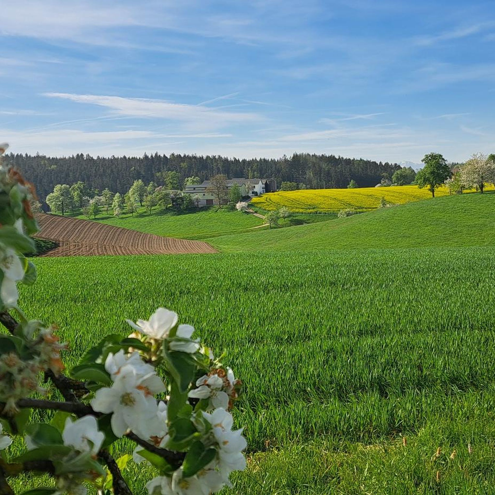
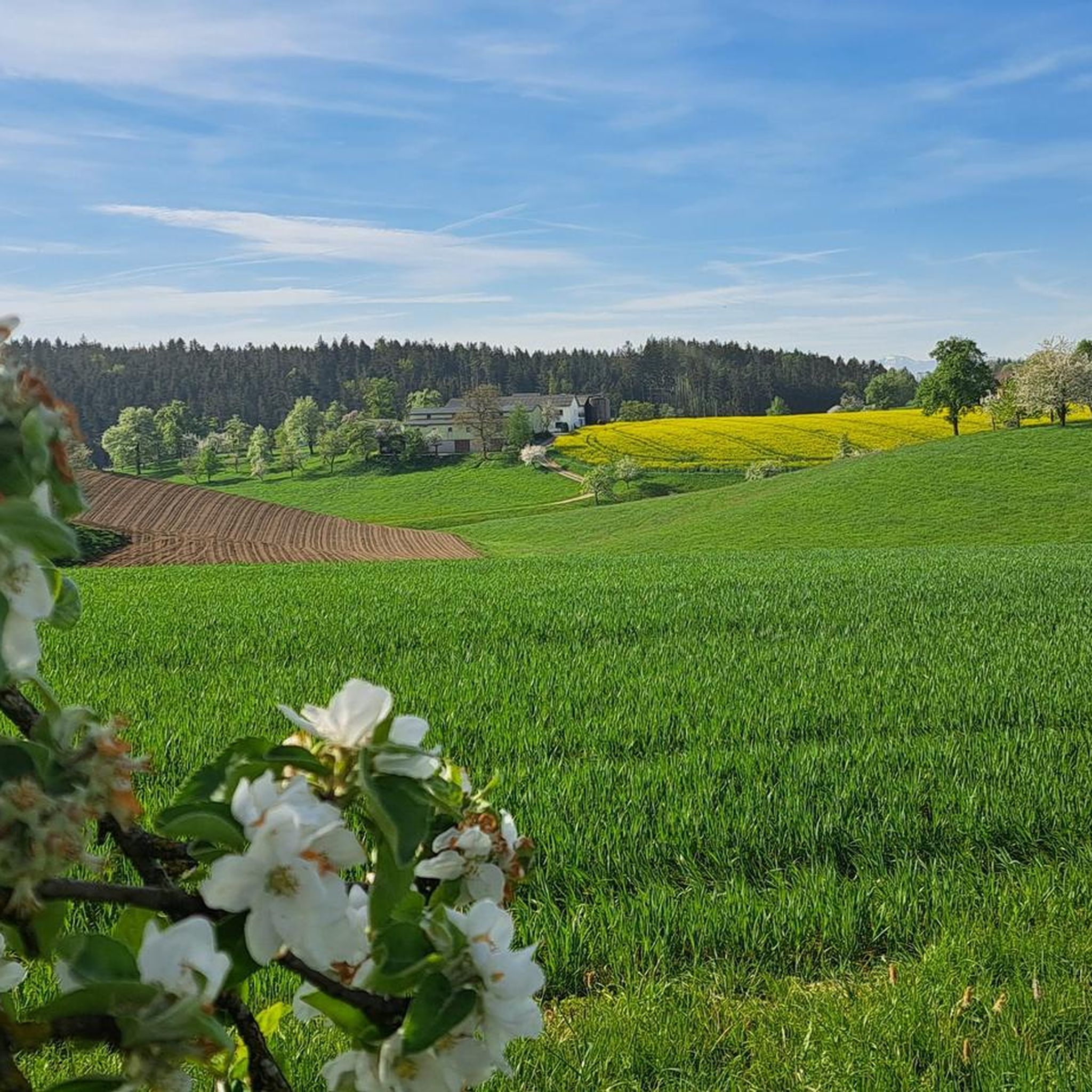
Beautiful place to enjoy the view
0
0
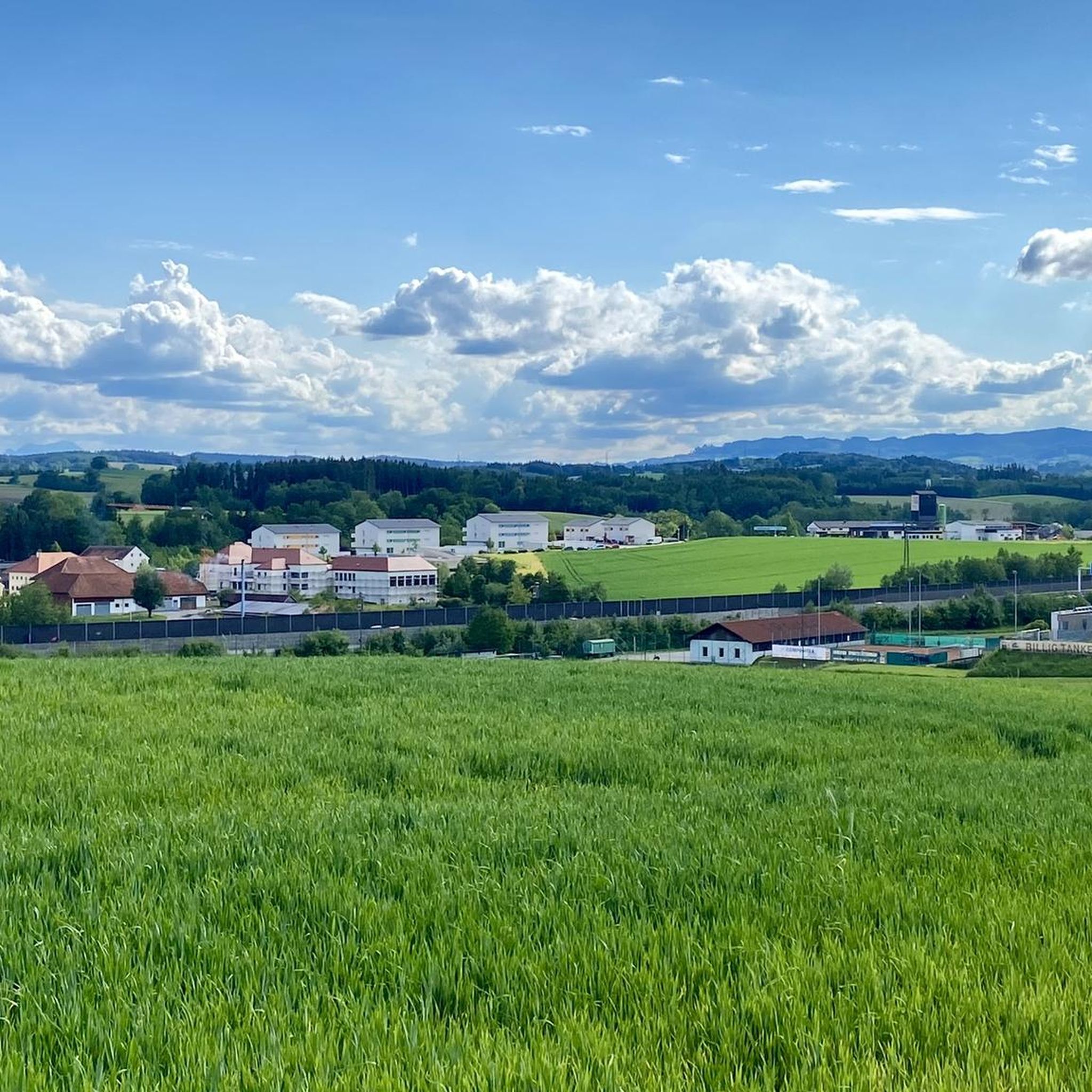
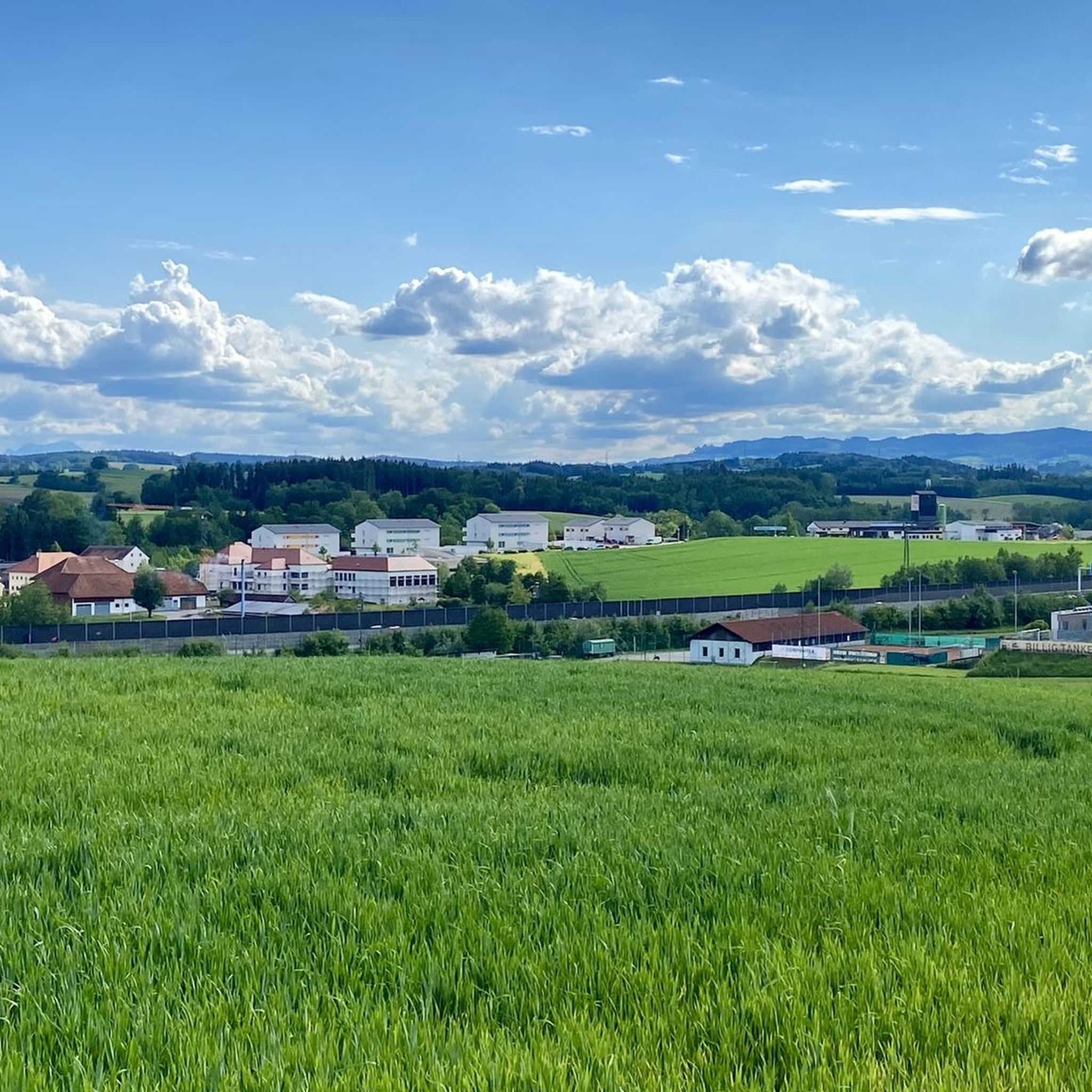
Great view all the way to the Alps.
0
0
Beautiful, quiet park. Perfect for a relaxing break.
0
0

The construction of the church with its 36 m high church tower can no longer be clearly defined historically. The parish was probably founded from Passau and was first mentioned in writing in 1359 as a separate parish. The two side chapels (added in the 15th century) are now used to celebrate weekday services and baptism, as well as for confession and discussion. In the Austrian art topography, the parish church of Offenhausen is described as "perhaps the most important Renaissance-style market church in Upper Austria". The interior of the church (28 m long, 13 m wide and 13 m high) has received a harmonious, baroque ensemble through the main and the two side altars. The high altar picture shows the stoning of St. Stephen and was created by the famous Bartolomeo Altamonte (1754).
2
1

Gallspach is located at an altitude of 365 m in the Hausruck district. The extension is 3.4 km from north to south and 3.8 km from west to east. The total area is 6.18 km². 11.7% of the area is forested, 75% of the area is used for agriculture.
0
0

Welcome to the Obermayrgut! Obermayrgut / room Newly built guest house. Comfort room with integrated kitchenette and modern apartment with balcony/terrace. Lovingly furnished with solid wood furniture. Satellite TV and WiFi. Large adventure playground, farm animals and mini ponies. Obermayrgut / holiday apartment / holiday on a farm Apartment (70 m2) with 2 bedrooms, eat-in kitchen, balcony/terrace, solid wood furniture, satellite TV. Rich active breakfast from May to August, rustic breakfast room, sun terrace. Farm herb garden, children's playground, farm animals, mini ponies.
0
0
Frequently Asked Questions
How many hiking trails are available around Meggenhofen?
Meggenhofen offers a wide variety of hiking experiences, with over 300 routes available. These include 184 easy trails, 158 moderate trails, and a few more challenging options, ensuring there's something for every fitness level.
What kind of terrain can I expect on hikes near Meggenhofen?
The hiking trails around Meggenhofen are characterized by rolling hills, agricultural fields, and pockets of woodland. You'll find diverse landscapes, from open countryside to more sheltered paths, with generally moderate elevation changes.
Are there any easy hikes suitable for beginners or families?
Yes, Meggenhofen has many easy routes perfect for beginners or families. For a pleasant and scenic walk, consider exploring the Country Inn Waldesruh – Gallspach Church loop from Gallspach, which is an easy 6.3 km trail. The Botanica Park also offers a 2.6 km circular route with beautiful plant displays, ideal for a leisurely stroll.
What cultural or historical landmarks can I see while hiking?
Meggenhofen's trails often lead past interesting cultural sites. You can visit Aistersheim Water Castle, a notable landmark in the region. Additionally, the Way of the Cross with wooden figures – Krailberg Summit Cross (504 m) loop from Bachmanning incorporates cultural markers along its path. Lambach Abbey, situated on the Way of St. James, is another significant cultural highlight where hikers can find comfortable benches and a monastery restaurant.
Are there any scenic viewpoints or natural features to discover?
Absolutely. The region boasts several scenic viewpoints. The Aistersheim Panorama – Schwalbleck summit 516 m loop from Meggenhofen offers views from the Schwalbleck summit. You can also find panoramic views from the Krailberg Summit Cross (504 m). The Botanica Park features a panoramic viewing platform and a suspension bridge, providing unique perspectives of the landscape.
Can I bring my dog on the hiking trails?
Many trails in Meggenhofen are suitable for hiking with dogs. It's generally recommended to keep dogs on a leash, especially in agricultural areas or near wildlife. Always ensure you carry water for your dog and clean up after them.
What is the best time of year for hiking in Meggenhofen?
Meggenhofen offers pleasant hiking conditions through much of the year. Spring and autumn provide mild temperatures and beautiful scenery, with blooming flowers or vibrant fall foliage. Summer is also suitable, though it can be warmer, while winter offers opportunities for peaceful walks in a different landscape, depending on snow conditions.
Are there any circular hiking routes available?
Yes, many of the trails around Meggenhofen are circular, offering convenient starting and ending points. For example, the Gallspach Church – Nature Experience Park Gallspach loop from Meggenhofen is a popular circular route. The Botanica Park also features a 2.6 km circular path, perfect for a relaxed walk.
Where can I find parking near the trailheads?
Parking is generally available near the starting points of many trails in Meggenhofen and surrounding villages. Specific parking information can often be found on individual route descriptions on komoot, or by checking local signage in the area.
What do other hikers enjoy most about hiking in Meggenhofen?
The hiking experiences in Meggenhofen are highly rated by the komoot community, with an average score of 4.5 stars from over 900 reviews. Hikers often praise the diverse trails, the blend of natural beauty with cultural landmarks, and the accessibility for various skill levels. The well-maintained paths and scenic views are frequently highlighted.
Are there any longer, more challenging hikes in the area?
While many trails are easy to moderate, some longer options provide a greater challenge. The Way of the Cross with wooden figures – Krailberg Summit Cross (504 m) loop from Bachmanning is a moderate 15.8 km trail that takes around 4 hours 21 minutes to complete, offering varied terrain and a good workout.
Are there places to eat or stay overnight near the hiking trails?
Yes, the region around Meggenhofen offers various options for refreshments and accommodation. Lambach Abbey, for instance, has a monastery restaurant. You'll find local inns, cafes, and guesthouses in Meggenhofen and nearby villages, providing convenient spots to refuel or stay overnight after your hike.
Most popular routes around Meggenhofen
Most popular attractions around Meggenhofen

Get inspired with the komoot mobile app


Explore more
Browse the best Hikes in other regions.
