The best walks and hikes around Meiseldorf
4.5
(726)
3,726
hikers
316
hikes
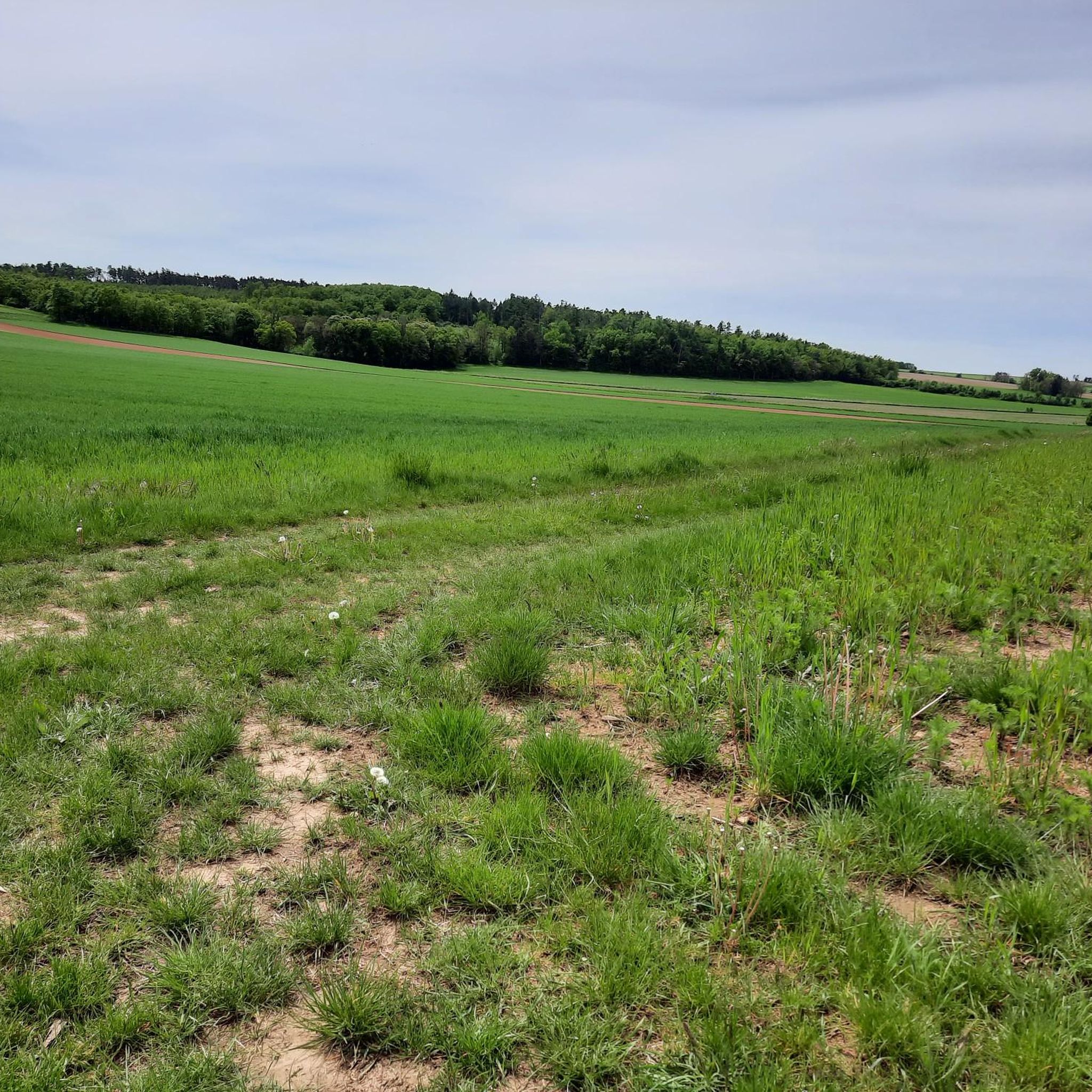
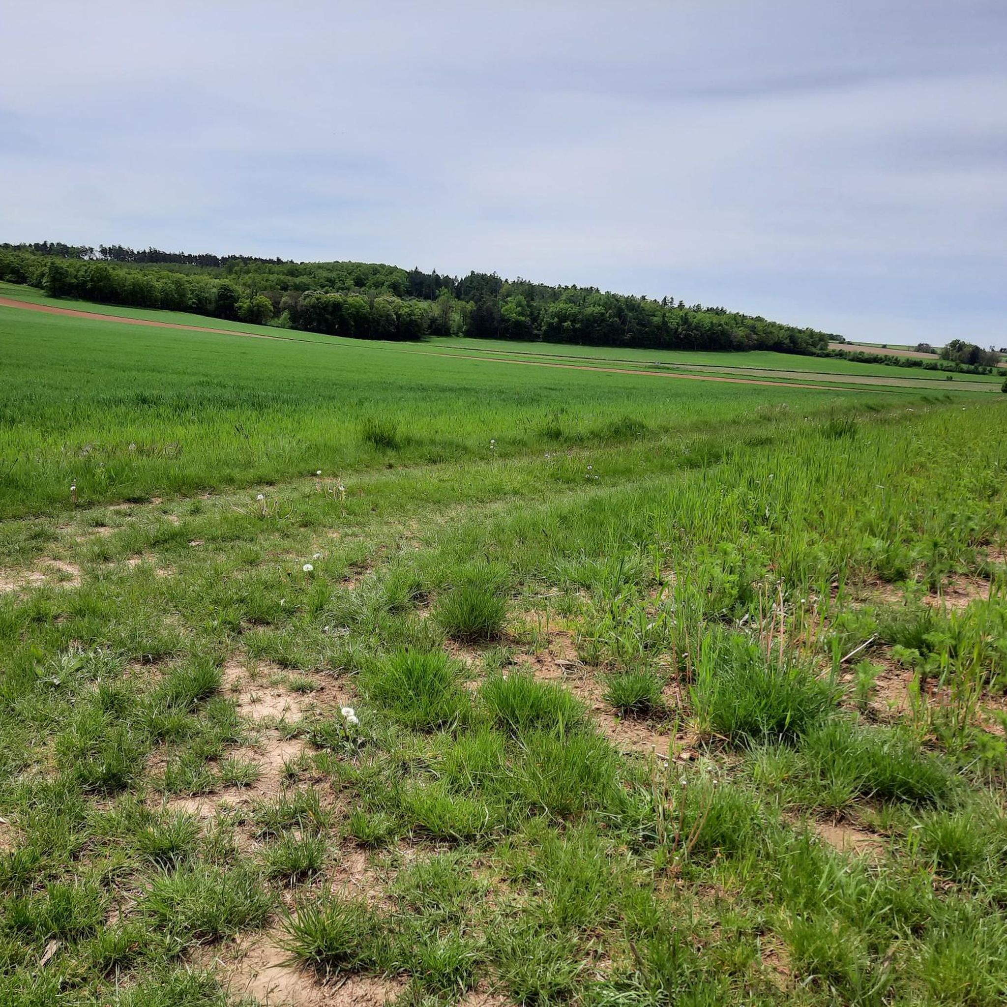
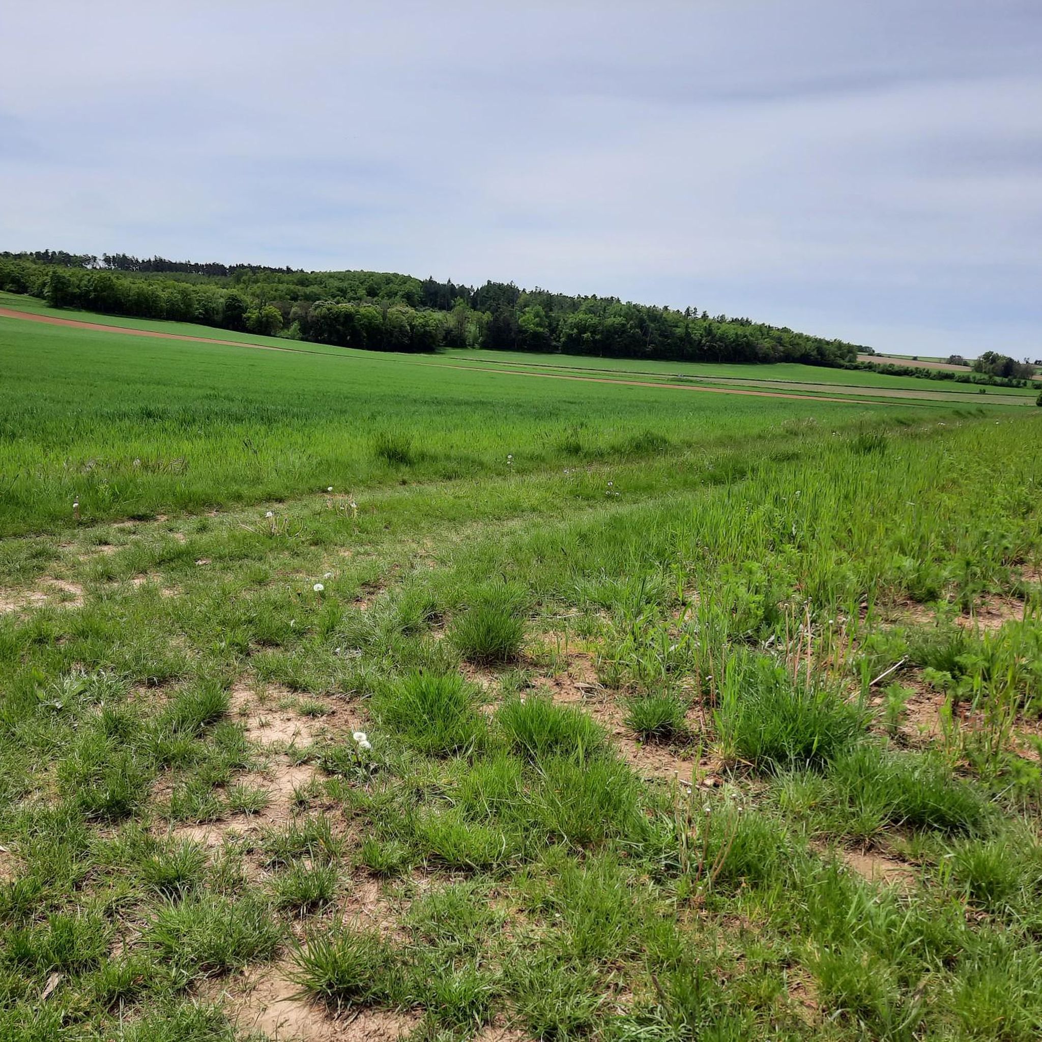
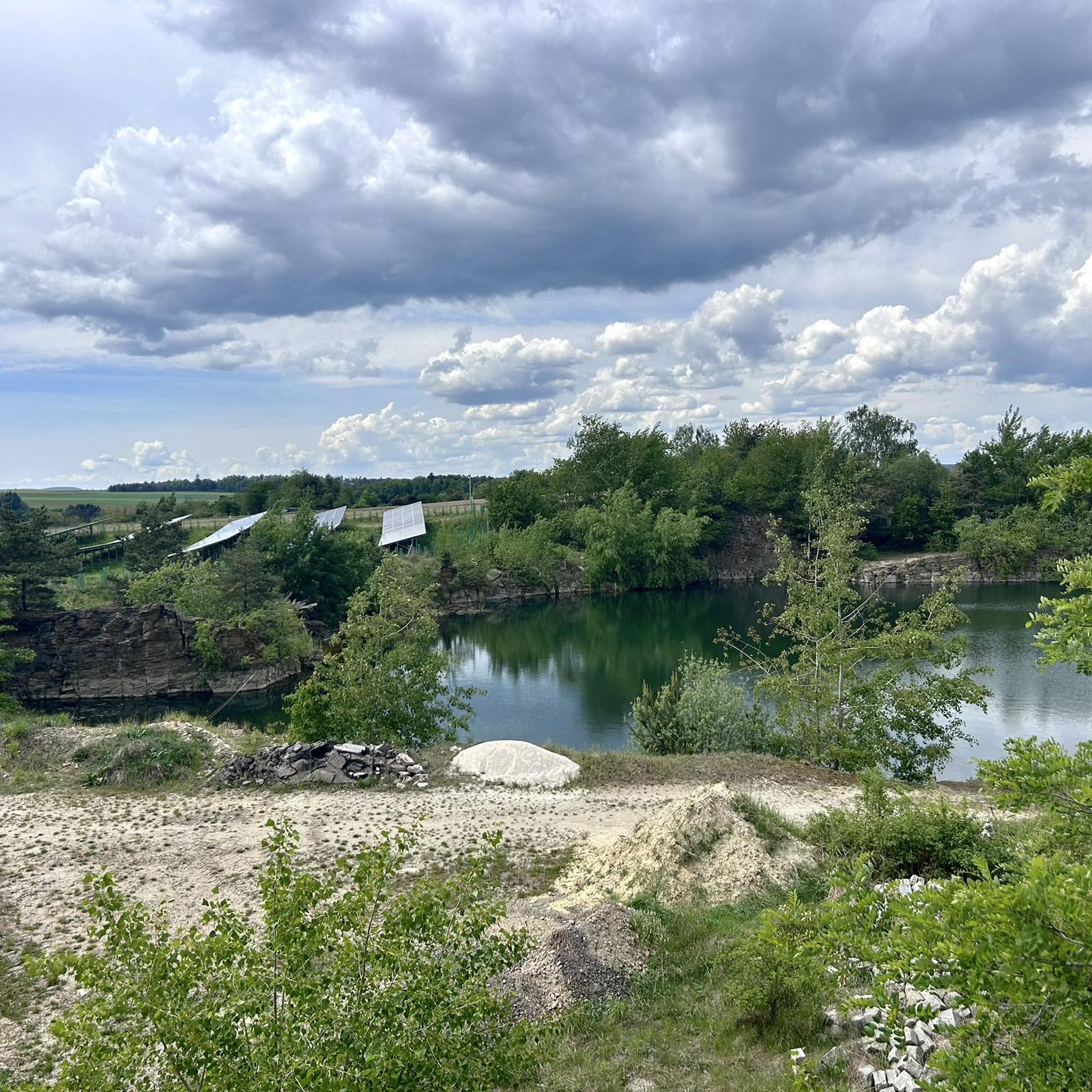
Hiking around Meiseldorf offers diverse landscapes within the Waldviertel region, characterized by a mix of wooded areas, open spaces, and varied topography. The area features natural attractions such as the Meiseldorfer Pond, providing serene waterside walks. Elevated areas, including parts of the Manhartsberg region, offer scenic vistas.
Best hiking trails around Meiseldorf
- The most popular hiking route is Sandstone Rock Formation – Hochkogel Cross loop from Pulkau, a 5.1 miles (8.1 km) trail that takes 2 hours 17 minutes…
Last updated: July 15, 2026
4.9
(51)
164
hikers
8.15km
02:17
160m
160m
Moderate hike. Good fitness required. Easily-accessible paths. Suitable for all skill levels.
4.8
(10)
58
hikers
14.0km
03:59
310m
310m
Moderate hike. Good fitness required. Easily-accessible paths. Suitable for all skill levels.

Sign up for free
4.4
(8)
39
hikers
5.04km
01:28
130m
130m
Easy hike. Great for any fitness level. Easily-accessible paths. Suitable for all skill levels.
4.5
(8)
26
hikers
11.3km
03:04
170m
170m
Moderate hike. Good fitness required. Easily-accessible paths. Suitable for all skill levels.
5.0
(3)
14
hikers
Easy hike. Great for any fitness level. Easily-accessible paths. Suitable for all skill levels.
Get access to more routes and recommendations from other explorers.
Sign up for free
Already have an account?
Our route recommendations are based on thousands of hikes, rides, and runs completed by other people on komoot.
Start today with a free account
Your next adventure awaits.
Login or Signup

Tips from the Community

It's a steep climb, but very romantic.
0
0

Hundreds of people came to the Pulkauer Bründl on Tuesday, July 2, 2024 for the traditional Pulkauer Bründlfest - the patron saint's day "Visitation of Mary" and the 300th anniversary of the pilgrimage chapel.
0
0

It's past its best days, but it's still interesting.
1
0

A wonderful place to look into the country.
0
0


The spring, which is said to have healing powers, was probably already known in prehistoric times. In 1702, after the plague, the first wooden church was built and in 1724 a stone chapel. The Bründl Festival takes place every year on July 2nd.
0
0
The Lönsstein - in memory of Hermann Löns (1866-1914 - nature and homeland poets as well as natural researchers and conservationists)
0
0
Frequently Asked Questions
How many hiking trails are available in Meiseldorf?
Meiseldorf offers a wide variety of hiking experiences with over 330 trails. These range from easy strolls to more challenging routes, ensuring options for all skill levels.
What kind of terrain can I expect when hiking in Meiseldorf?
The terrain around Meiseldorf is quite diverse, characteristic of the Waldviertel region. You'll encounter a mix of dense forests, open fields, and varied topography, including some elevated areas that offer panoramic views. The region also features serene waterside paths around ponds like the Meiseldorfer Pond, and in some areas, you might even pass through vineyards.
What is the overall difficulty level of hiking trails in Meiseldorf?
Meiseldorf's hiking trails cater to various fitness levels. You'll find over 180 easy routes, 149 moderate trails, and a few more challenging options for experienced hikers. This variety ensures there's a suitable path for everyone.
When is the best time of year to go hiking in Meiseldorf?
The best time for hiking in Meiseldorf is generally from spring through autumn, when the weather is mild and the natural scenery is vibrant. While some trails may be accessible in winter, conditions can vary, so it's always best to check local forecasts and trail conditions if planning a winter hike.
Are there any natural attractions or landmarks to see along the hiking trails?
Yes, Meiseldorf's trails often lead past interesting natural features and landmarks. You can explore highlights such as the Libellenteich and Alte Kuh Boulder, the tranquil Meiseldorfer Teich, or the Roseldorf Rest Area and Biotope. The region also features the Maria-Bründl Spring and the Lourdes Grotto, offering points of interest beyond just the trails.
Are there family-friendly hiking options in Meiseldorf?
Absolutely. With over 180 easy routes, Meiseldorf offers many family-friendly hiking options. Trails like the Lönsstein memorial near Pulkau – Pulkau Observation Deck loop from Pulkautal, which is 5.1 km long and takes about 1 hour 28 minutes, are great for families looking for a pleasant walk without significant challenges.
Are dogs allowed on the hiking trails in Meiseldorf?
Many trails in Meiseldorf are dog-friendly, allowing you to enjoy the natural beauty with your canine companion. However, it's always recommended to keep dogs on a leash, especially in nature protection areas or near wildlife, and to respect local regulations regarding pets.
Are there any circular hiking routes in Meiseldorf?
Yes, many of the hiking routes in Meiseldorf are designed as circular paths, offering convenient starting and ending points. Examples include the Sandstone Rock Formation – Hochkogel Cross loop from Pulkau and the Hochkogel Cross – Ruins of Neudegg Castle loop from Pulkautal, allowing you to explore without retracing your steps.
Are there hikes with good viewpoints in the Meiseldorf area?
Yes, the Meiseldorf area, particularly parts of the Manhartsberg region, is known for offering breathtaking panoramic views. Trails that include elevated sections or lead to observation decks, such as the Lönsstein memorial near Pulkau – Pulkau Observation Deck loop from Pulkautal, provide excellent opportunities to enjoy scenic vistas.
Where can I park when hiking in Meiseldorf?
Parking is generally available at or near the trailheads for many popular hiking routes in Meiseldorf. Specific parking information can often be found on individual route descriptions or local tourism websites. It's advisable to check these details before your hike.
What do other hikers say about the trails in Meiseldorf?
The hiking trails in Meiseldorf are highly regarded by the komoot community, boasting an average rating of 4.5 stars from over 600 reviews. Hikers frequently praise the diverse landscapes, well-maintained paths, and the serene natural environment, making it a popular destination for outdoor enthusiasts.
Can I find easy hiking trails suitable for beginners in Meiseldorf?
Certainly. Meiseldorf offers a significant number of easy hiking trails, with over 180 routes classified as such. A good option for beginners is the Sandstone Rock Formation – Start of the nature trail loop from Burgruine Neudegg, which is 4.6 km long and takes about 1 hour 20 minutes to complete.
Most popular attractions around Meiseldorf

Get inspired with the komoot mobile app


Explore more
Browse the best Hikes in other regions.
