The best walks and hikes around Sulzbach-Laufen
4.5
(433)
1,569
hikers
97
hikes
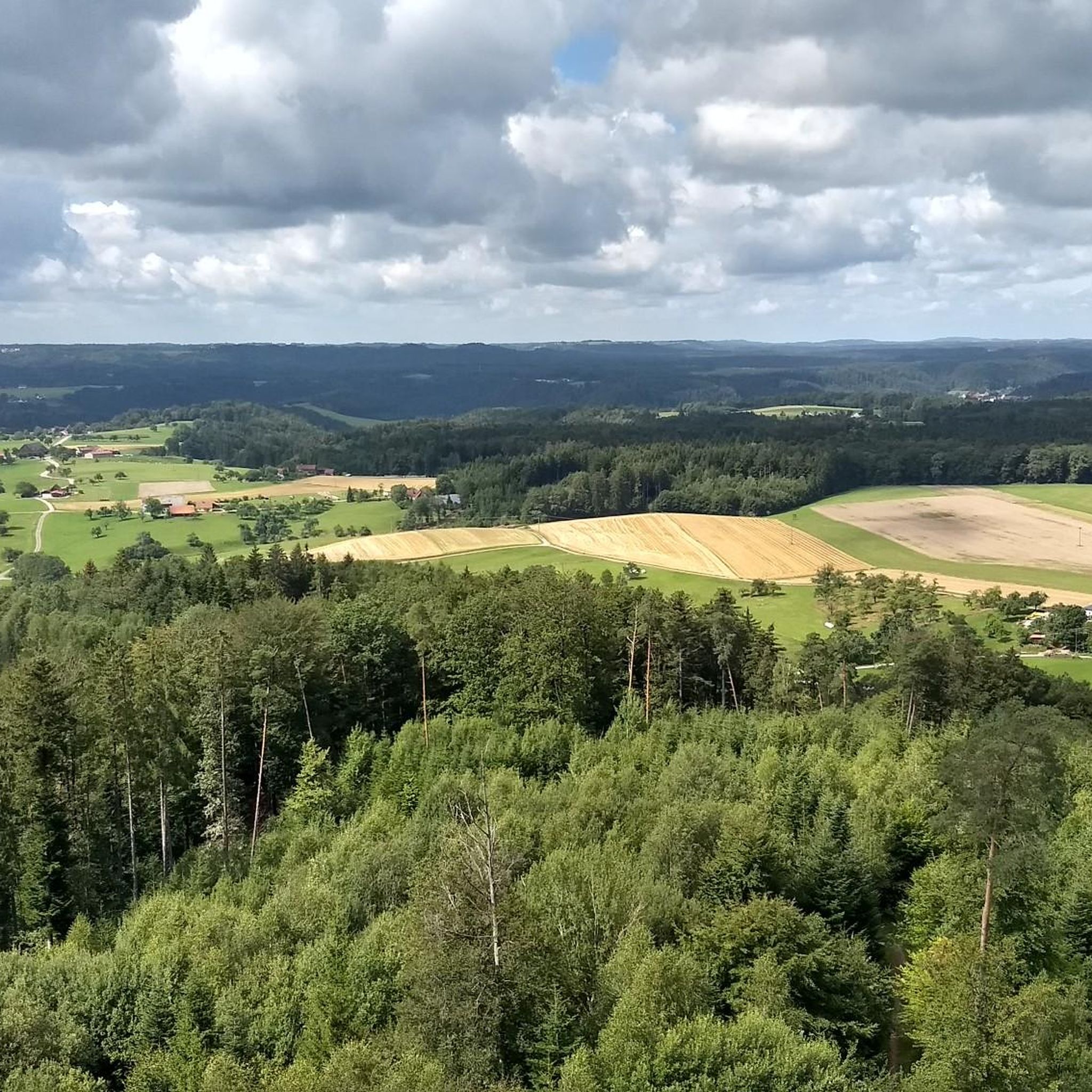
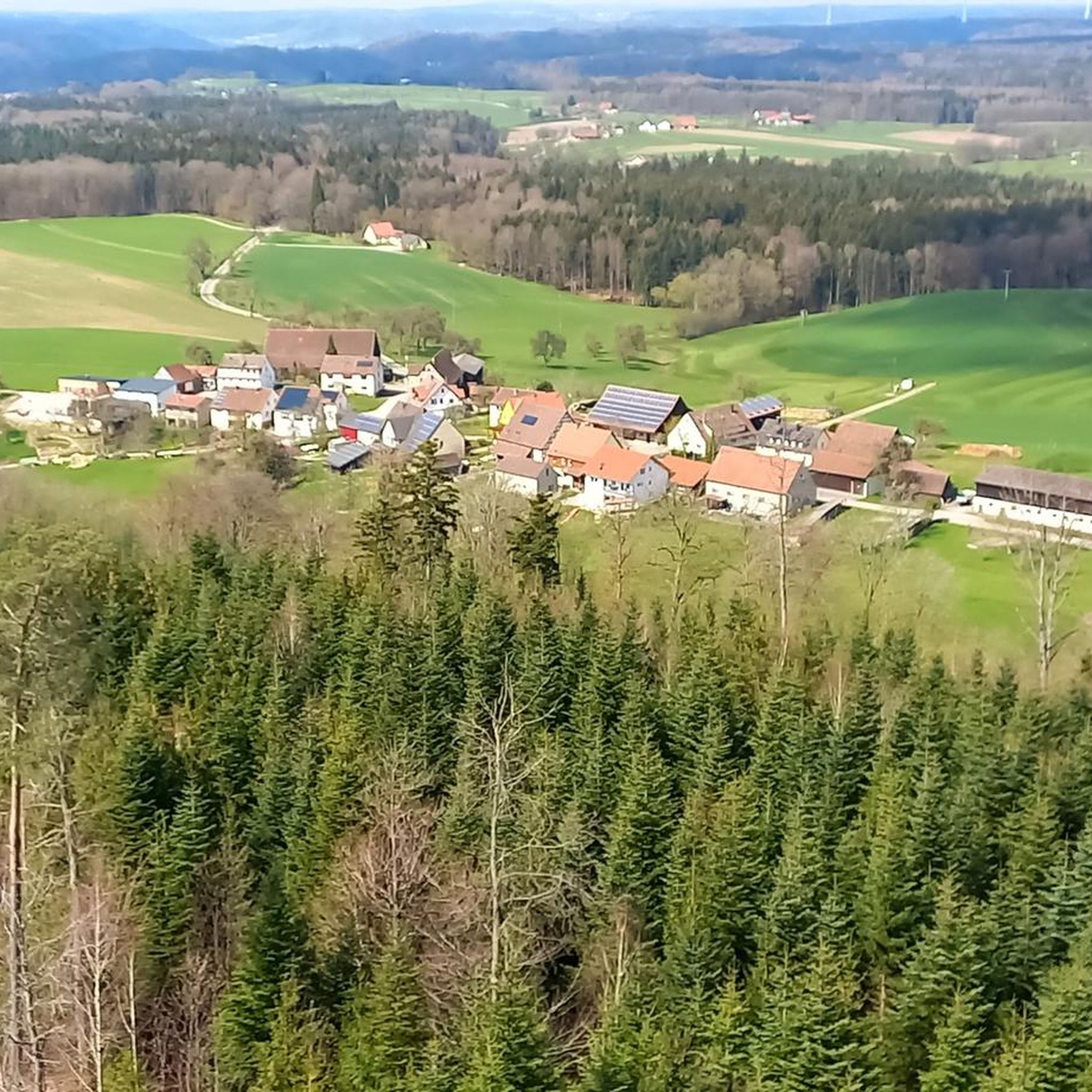
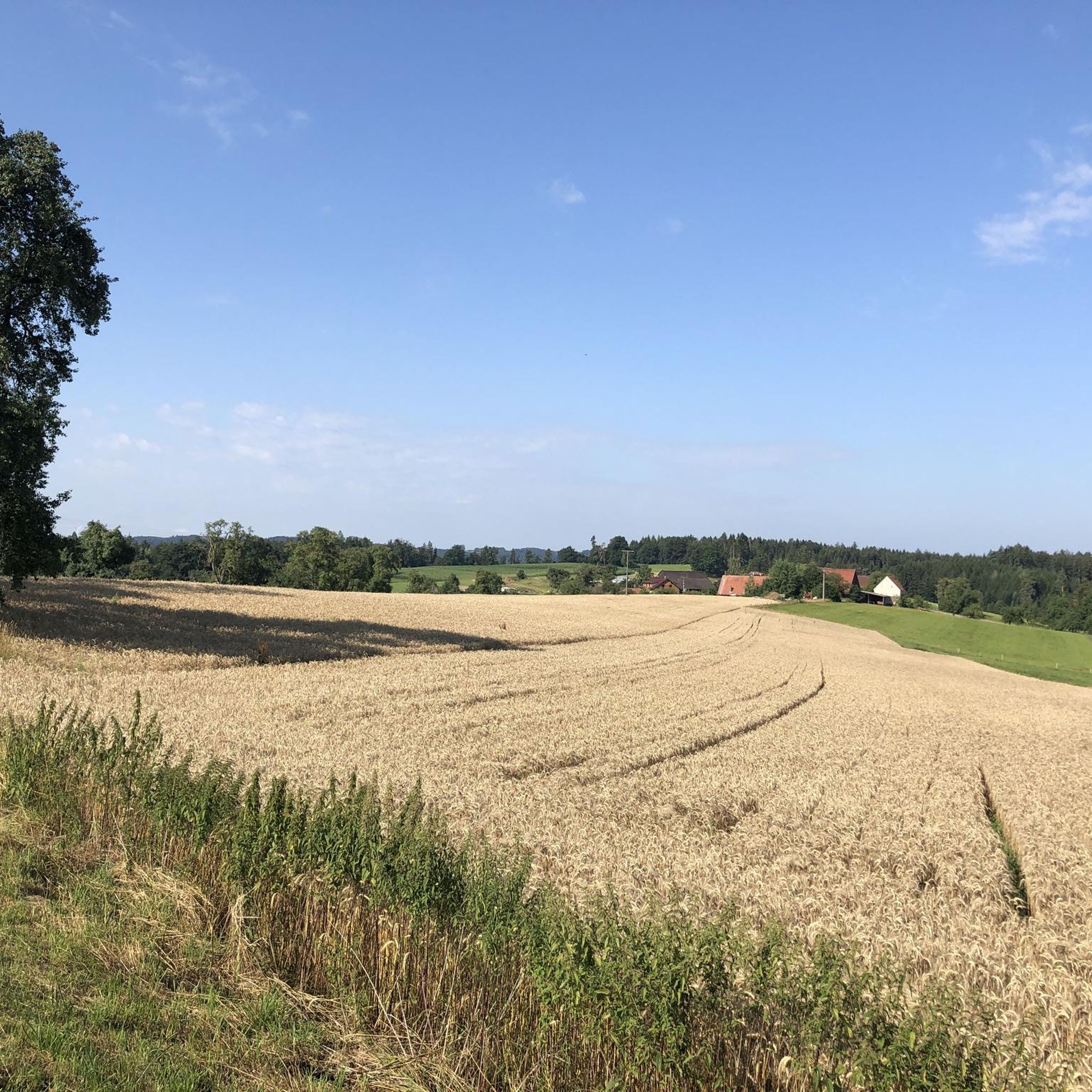
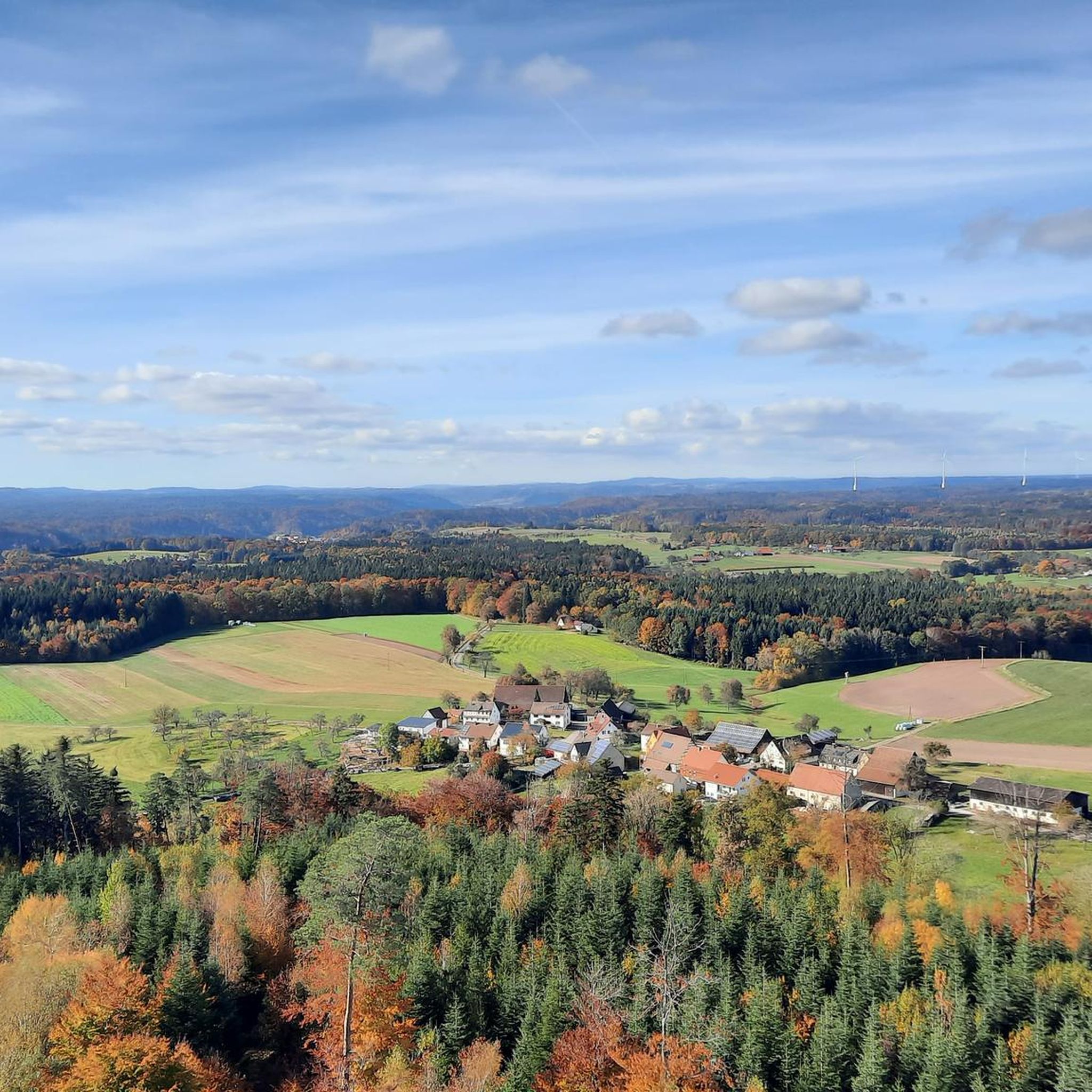
Hiking around Sulzbach-Laufen offers diverse landscapes within the Swabian-Franconian Forest Nature Park. The region features green hills, extensive forests, and river valleys such as the Kocher and Wimbach. Trails often follow water features, including streams and waterfalls, providing varied terrain for outdoor activities.
Best hiking trails around Sulzbach-Laufen
- The most popular hiking route is The Narrow and Wide Path – Table of Peace loop from Schlucht des Großen Wimbachs, a 5.1 miles (8.3 km) trail that takes 2 hours…
Last updated: July 11, 2026
4.5
(86)
235
hikers
Moderate hike. Good fitness required. Easily-accessible paths. Suitable for all skill levels.
4.4
(54)
151
hikers
7.90km
02:12
120m
120m
Moderate hike. Good fitness required. Mostly accessible paths. Sure-footedness required.

Sign up for free
4.8
(20)
101
hikers
13.8km
03:52
240m
240m
Moderate hike. Good fitness required. Mostly accessible paths. Sure-footedness required.
4.7
(15)
72
hikers
5.15km
01:28
110m
110m
Moderate hike. Great for any fitness level. Mostly accessible paths. Sure-footedness required.
4.8
(17)
53
hikers
6.30km
01:50
140m
140m
Moderate hike. Great for any fitness level. Mostly accessible paths. Sure-footedness required.
Get access to more routes and recommendations from other explorers.
Sign up for free
Already have an account?
Our route recommendations are based on thousands of hikes, rides, and runs completed by other people on komoot.
Start today with a free account
Your next adventure awaits.
Login or Signup

Tips from the Community

Beautiful spot for a break with a view.
0
0

Seventy Douglas fir trunks form a path that narrows as it ascends. A powerful image of how possessions and worries can obscure our view of the wider world.
0
0
A 16-meter-long table carved from a single Douglas fir trunk. A place for gathering – and a reminder of how precious peace is.
0
0

Very cool trail that is always fun to shoot down 😁
0
0
Very nice view.
0
0
Interesting installations. The Table of Peace and the others are very interesting.
0
0

Altenbergturm and the Jausenstation, that always works and is a great combination.
0
0

The bridge was rebuilt.
1
0
Frequently Asked Questions
What kind of hiking trails can I expect around Sulzbach-Laufen?
The Sulzbach-Laufen region, situated within the Swabian-Franconian Forest Nature Park, offers a diverse range of hiking experiences. You'll find trails winding through green hills, extensive forests, and picturesque river valleys like the Kocher and Wimbach. Many routes follow water features, including streams and waterfalls, providing varied terrain from easy walks to more challenging paths.
Are there easy hiking trails suitable for beginners or families in Sulzbach-Laufen?
Yes, Sulzbach-Laufen has plenty of easy hiking trails perfect for beginners or families. Out of nearly 100 routes in the area, 40 are classified as easy. An example is the Altenberg Tower loop from Hohenberg, an easy 2.4-mile trail that takes about an hour to complete, leading through forested areas to the Altenbergturm.
Where can I find panoramic views or lookout points on the trails?
For panoramic views, the Altenbergturm (Altenberg Tower) is a key highlight. It offers magnificent vistas of the surrounding area. You can access it via routes like the Altenberg Tower – View of Altenbergturm loop from Schloss Schmiedelfeld. Another notable viewpoint is the "Teufelskanzel" (Devil's Pulpit) in the Wimbach Valley, which also provides excellent resting opportunities.
Are there any hikes that feature waterfalls in the Sulzbach-Laufen area?
Yes, the Wimbach Valley is particularly known for its enchanting paths and water features. The Wombachschlucht (Wombach Gorge) contains several waterfalls. You can explore these on routes such as the Altenberg Tower – Nägelesbach Waterfall loop from Hohenberg, which includes the Nägelesbach Waterfall.
What natural monuments can I explore while hiking in Sulzbach-Laufen?
The region is rich in natural monuments. You can discover impressive sandstone gorges like the Hägeles Gorge and the Brunnenklinge Sandstone Gorge. Additionally, the Fischach Valley features a nature reserve with rare plants, and the area includes serene lakes such as Hagerwald Lake and Hüttenbühl Reservoir.
Are there many circular hiking routes available in Sulzbach-Laufen?
Circular routes are a prominent feature of hiking in Sulzbach-Laufen, especially in the Kocher Valley. Many trails are designed as loops, allowing you to start and end at the same point. Themed routes like the "Wasserwelt" (Water World) also offer circular paths exploring local water sources and biotopes.
Can I bring my dog on the hiking trails in Sulzbach-Laufen?
Most hiking trails in the Sulzbach-Laufen area are dog-friendly. However, it's always recommended to keep your dog on a leash, especially in nature reserves, near livestock, or in areas with wildlife. Please also ensure you clean up after your pet to maintain the natural beauty of the trails.
Are there options for parking near the trailheads in Sulzbach-Laufen?
Yes, many popular trailheads and starting points for hikes in Sulzbach-Laufen offer designated parking areas. It's advisable to check specific route descriptions on komoot for details on parking availability at your chosen starting point.
Is it possible to reach hiking trails in Sulzbach-Laufen using public transport?
While some routes might be accessible via local bus services, public transport options can be limited in more rural parts of the Swabian-Franconian Forest Nature Park. For the most flexibility, especially when accessing remote trailheads, traveling by car is often recommended. Always check local transport schedules in advance.
When is the best time of year to go hiking in Sulzbach-Laufen?
The best time for hiking in Sulzbach-Laufen is generally from spring to autumn (April to October), when the weather is mild and the landscapes are lush. Spring brings blooming wildflowers, while autumn offers vibrant fall foliage. Summer is also excellent, though some forest trails provide welcome shade on hotter days. Winter hiking is possible, but trails may be icy or muddy, requiring appropriate gear.
What do other hikers enjoy the most about hiking in Sulzbach-Laufen?
The hiking routes in Sulzbach-Laufen are highly rated by the komoot community, with an average score of 4.5 stars from over 400 reviews. Hikers often praise the region's diverse landscapes, from quiet forest paths and rolling hills to the picturesque river valleys and the enchanting Wimbachschlucht. The well-maintained trails and the variety of options for all skill levels are also frequently highlighted.
Most popular routes around Sulzbach-Laufen
Most popular attractions around Sulzbach-Laufen

Get inspired with the komoot mobile app


Explore more
Browse the best Hikes in other regions.
