The best hikes from bus stations around Mancha Alta
4.2
(123)
581
hikers
20
hikes
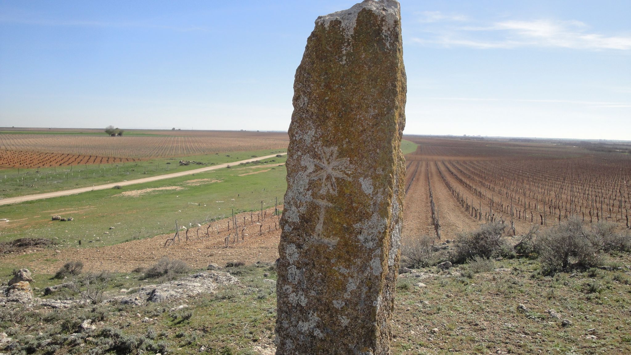
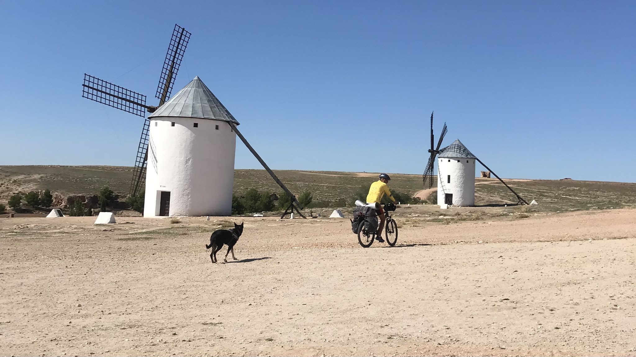
Bus station hiking trails around Mancha Alta traverse an elevated plateau within the Province of Albacete, characterized by a diverse landscape. The region features a mosaic of agricultural lands, including olive groves, vineyards, and grain fields, interspersed with riverine features. While generally part of a drier climate, the terrain offers varied elevations and natural corridors shaped by rivers and streams.
Best bus station hiking trails around Mancha Alta
- The most popular bus station hiking route is Villamanrique de Tajo loop…
Last updated: July 7, 2026
2
hikers
7.09km
01:49
30m
30m
Easy hike. Great for any fitness level. Easily-accessible paths. Suitable for all skill levels.
2
hikers
6.31km
01:39
50m
50m
Easy hike. Great for any fitness level. Easily-accessible paths. Suitable for all skill levels.

Sign up for free
3
hikers
Easy hike. Great for any fitness level. Easily-accessible paths. Suitable for all skill levels.
1
hikers
10.2km
02:43
100m
100m
Moderate hike. Good fitness required. Easily-accessible paths. Suitable for all skill levels.
5.0
(1)
2
hikers
11.0km
02:51
60m
60m
Moderate hike. Good fitness required. Easily-accessible paths. Suitable for all skill levels.
Get access to more routes and recommendations from other explorers.
Sign up for free
Already have an account?
Our route recommendations are based on thousands of hikes, rides, and runs completed by other people on komoot.
Start today with a free account
Your next adventure awaits.
Login or Signup
Other adventures around Mancha Alta


Tips from the Community

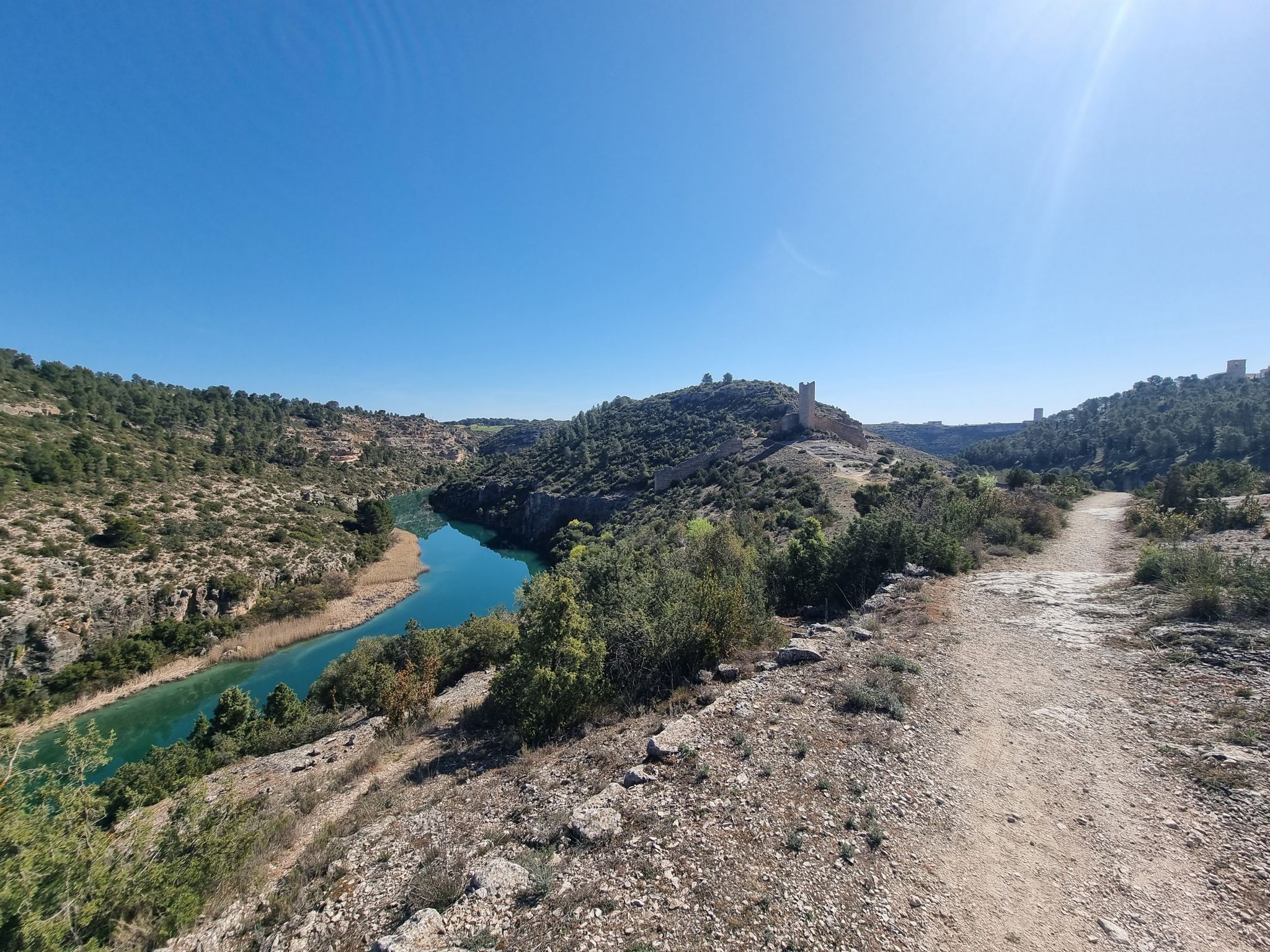
The current town of Villamanrique de Tajo emerged in the 15th century under the protection of the old fortress of Albuher, which was one of the castles and strongholds built in the 10th century by the Arabs during the rule of the Caliphate of Córdoba on the border of the Tagus River. The hamlet has a rural and peasant character, with linear streets and white facades in the great plain of the Tagus River, and is made up of the town centre itself and the agricultural centres of Buenamesón and Castillo de Tajo. The social centre is the Plaza de la Constitución, where the Town Hall is located, and the starting point of several hiking routes.
0
0

You are in the Plaza de España in Horcajo de Santiago - it was recently renovated. It is a typical town in the interior of Cuenca. The Church of the Immaculate Conception stands out here, which you can admire in front of you. It dates back to the 14th century.
0
0

Villamanrique de Tajo is a quiet town in the Madrid region of Las Vegas. Among its places of interest are the ruins of the castle of Alboer or the beautiful river park on the banks of the Tagus.
1
0
It is in the Plaza de España in Horcajo de Santiago - it was recently renovated. It is a typical town in the interior of Cuenca. The Church of the Immaculate Conception stands out here, which you can admire in front of you. It dates from the 14th century.
1
0

Very close to the border with the province of Cuenca, the town of Santa Cruz de la Zarza offers an interesting alternative for those who enjoy visiting a beautiful and quiet town combining nature. A few kilometers away is the marked out itinerary PR-TO 12 known as the Charco Negro path, which runs through a very interesting and picturesque landscape, crossing oak forests of great importance in the area. In addition, in the town you will have the necessary services to start your route and do not miss visiting the church of Santiago Apóstol next to the attractive building of the town hall.
4
0
It is a beautiful and picturesque town in the interior of Cuenca in which the church of the Immaculate Conception and Plaza España stand out, which has been recently renovated. From here you can start several hiking tours, among them the one to the Mamarón huts stands out.
3
0
Frequently Asked Questions
How many bus station hiking trails are available in Mancha Alta?
There are 9 bus station hiking trails available in Mancha Alta, offering convenient access to the region's diverse landscapes. Most of these routes are considered easy, with one moderate option for those seeking a bit more challenge.
Are there any easy hiking trails accessible by bus in Mancha Alta?
Yes, the majority of bus-accessible trails in Mancha Alta are easy, perfect for a relaxed day out. For example, the Villamanrique de Tajo loop from Villamanrique de Tajo is an easy 7 km route, and the Laguna artifical de Donace loop from Barajas de Melo offers a pleasant 6.3 km walk.
What is the best time of year to go hiking from bus stations in Mancha Alta?
The best seasons for hiking in Mancha Alta are generally spring and fall. During these times, temperatures are mild, and the landscapes are particularly beautiful, whether with spring blooms or autumn colors. While the region can be dry, these seasons offer the most comfortable conditions for exploring.
Are there any circular hiking routes starting from bus stops in Mancha Alta?
Yes, several routes are circular, bringing you back to your starting point. The Santa Cruz de la Zarza loop from Santa Cruz de la Zarza is a great easy option, and for a moderate challenge, consider the Horcajo de Santiago loop from Horcajo de Santiago.
What kind of scenery can I expect on bus-accessible hikes in Mancha Alta?
Hikes in Mancha Alta offer a blend of elevated plateaus, agricultural landscapes with olive groves and vineyards, and riverine features. While generally known for its plains, the region's 'Alta' designation means you'll find more varied terrain than expected, with some routes offering views over the expansive La Mancha plateau.
Are there any historical or cultural attractions along the bus station hiking trails?
Yes, the region is rich in history. You can explore sites like the Segóbriga Archaeological Park, a significant Roman city ruin, or visit the impressive Monastery of Uclés and Castle. Many routes pass through or near charming rural villages and historical landmarks.
What do other hikers enjoy most about hiking in Mancha Alta?
The area is highly rated by the komoot community, with an average score of 4.3 stars from over 100 ratings. Reviewers often praise the tranquility of the landscapes, the accessibility of the trails from public transport, and the opportunity to experience the unique cultural and natural patchwork of the region.
Can I find any viewpoints or scenic spots on these bus-accessible hikes?
Absolutely. The elevated nature of Mancha Alta provides opportunities for scenic views. For instance, you can find excellent Views of the Castle of Puebla de Almenara, offering panoramic vistas of the surrounding plains and historical structures.
Are there any specific natural features like gorges or wetlands to see?
While Mancha Alta is primarily known for its plains, the wider region of Castilla-La Mancha features diverse natural elements. Within the immediate vicinity, you might encounter riverine landscapes like the Hoz del Cigüela gorge, showcasing how rivers carve through the terrain. Further afield, the region boasts wetlands like the Ruidera Lakes, though these are not directly on the bus station routes listed here.
What is the longest bus-accessible hike available?
The longest bus-accessible hike listed is the Horcajo de Santiago loop from Horcajo de Santiago, which covers approximately 11 kilometers and is rated as moderate. This route offers a good option for those looking for a longer day out.
Are there any shorter, easy hikes for beginners or families?
Yes, there are several shorter, easy options perfect for beginners or families. The Santa Cruz de la Zarza loop from Santa Cruz de la Zarza is just over 4 km, and the Hiking loop from Tarancón is around 5 km, both offering gentle terrain and manageable distances.
Most popular routes around Mancha Alta
Most popular attractions around Mancha Alta

Get inspired with the komoot mobile app


Explore more
Browse the best Hikes in other regions.
