The best walks and hikes around Merzalben
4.6
(552)
1,952
hikers
60
hikes
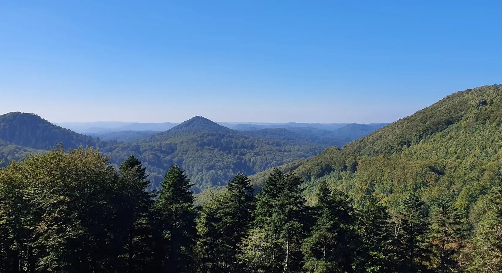
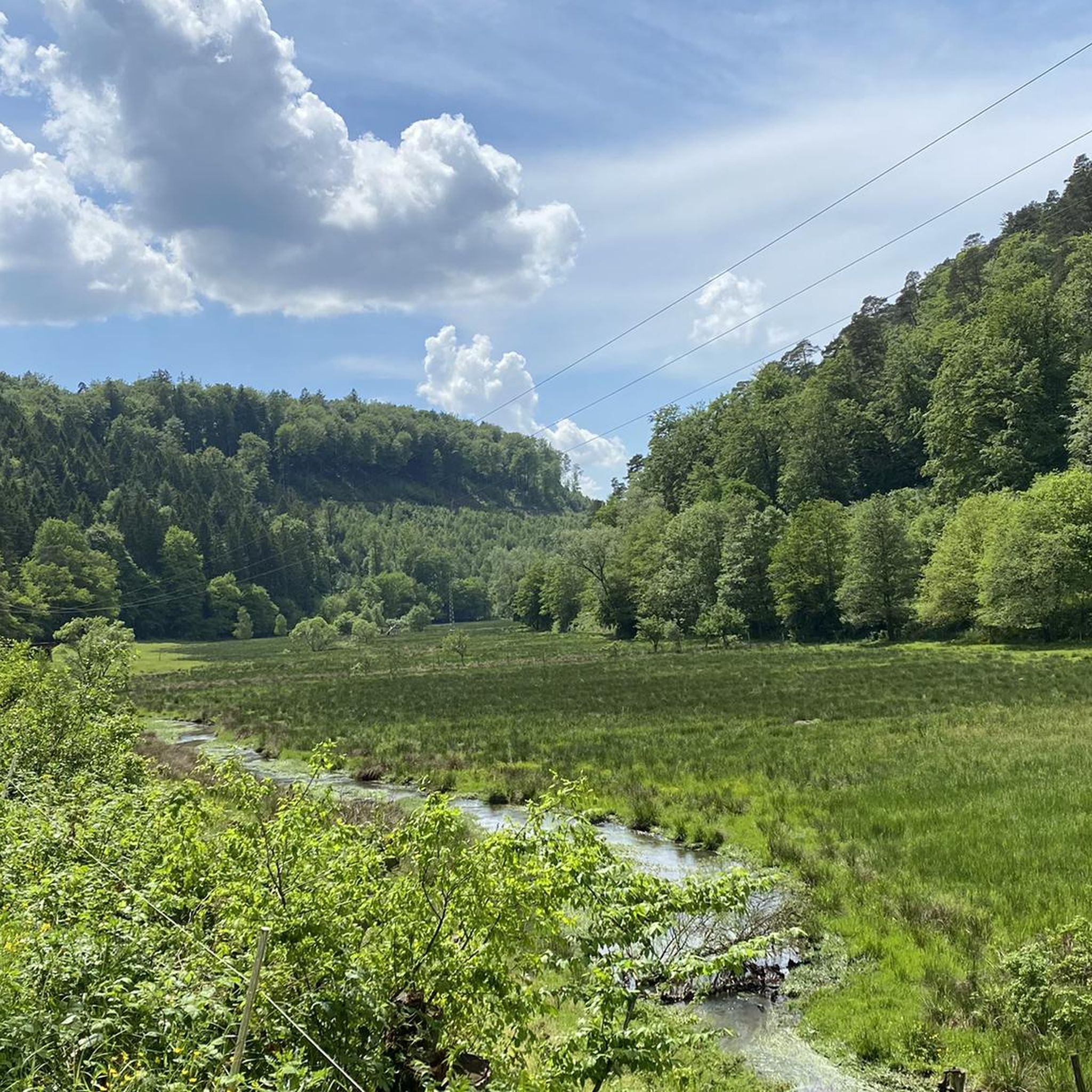
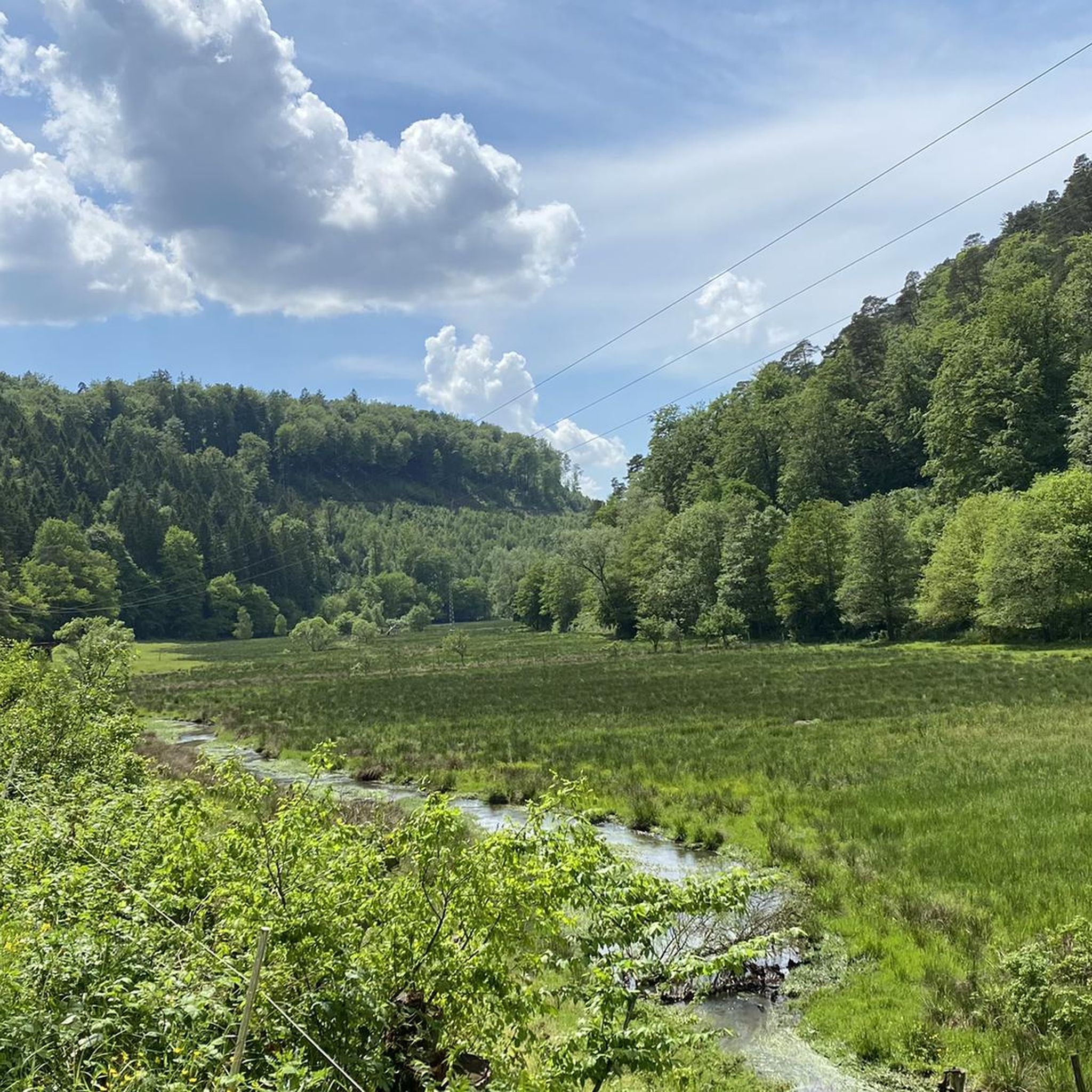
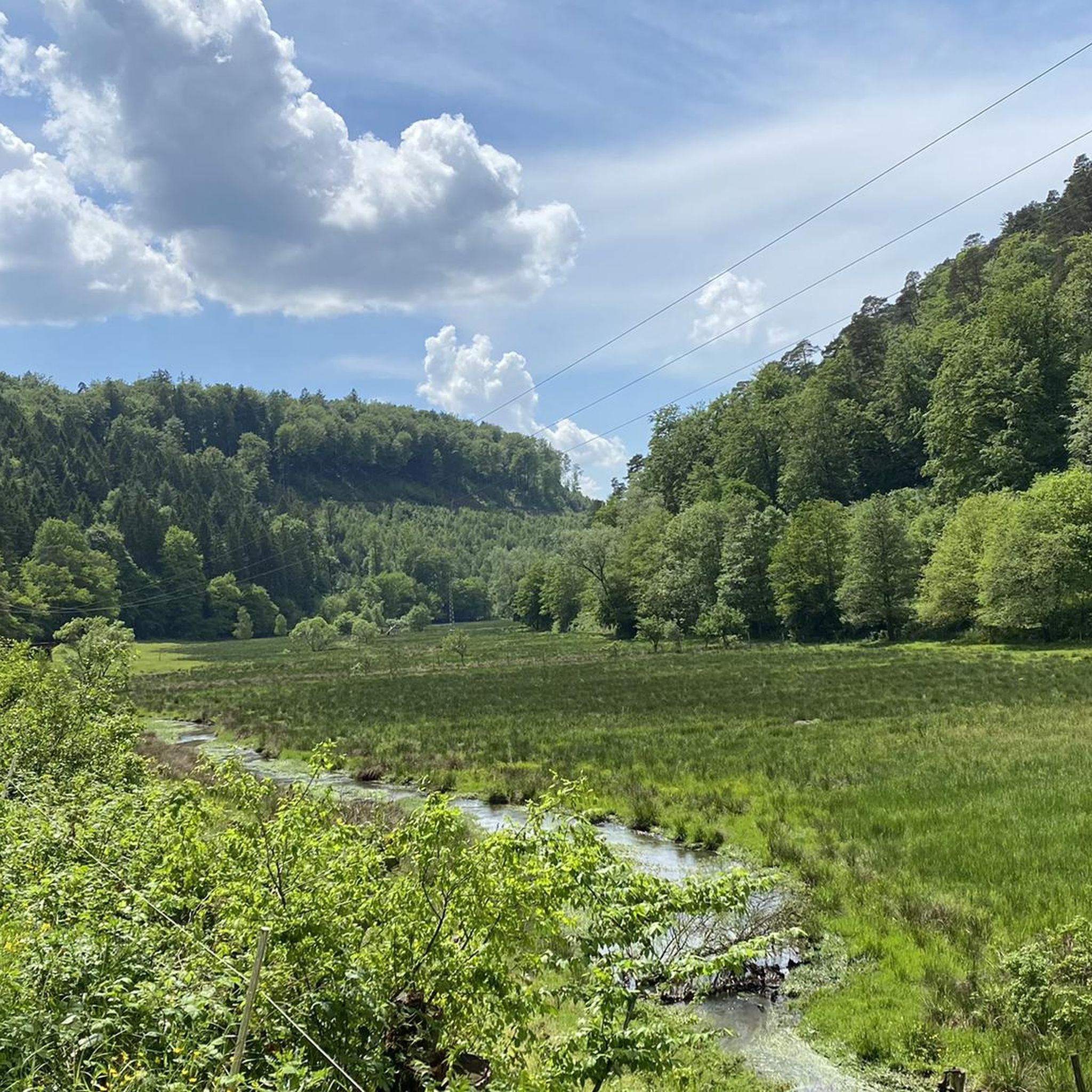
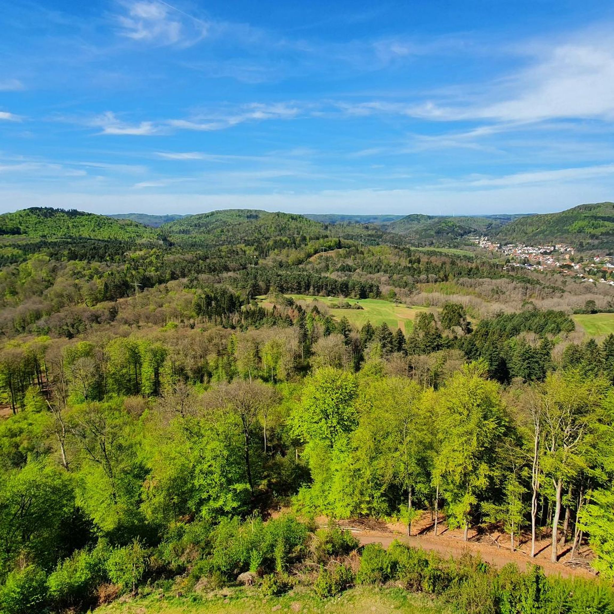
Hiking around Merzalben offers access to the Palatinate Forest, a region characterized by dense woodlands, gentle hills, and diverse valleys. The area features impressive Buntsandstein (colorful sandstone) rock formations and numerous streams. The topography provides varied hiking routes, including paths through the wild romantic Waschtal.
Best hiking trails around Merzalben
- The most popular hiking route is Beautiful trail – Durchguckfelsen loop from Burg Gräfenstein, an 8.1 miles (13.1 km) trail that takes 3 hours 41 minutes to complete. This…
Last updated: July 5, 2026
4.8
(105)
340
hikers
13.1km
03:41
270m
270m
Moderate hike. Good fitness required. Easily-accessible paths. Suitable for all skill levels.
4.8
(80)
248
hikers
20.9km
06:00
500m
500m
Hard hike. Very good fitness required. Easily-accessible paths. Suitable for all skill levels.

Sign up for free
4.6
(25)
79
hikers
21.0km
06:06
530m
530m
Hard hike. Very good fitness required. Easily-accessible paths. Suitable for all skill levels.
4.6
(39)
98
hikers
10.0km
02:51
230m
230m
Moderate hike. Good fitness required. Easily-accessible paths. Suitable for all skill levels.
4.7
(29)
102
hikers
8.59km
02:33
250m
250m
Moderate hike. Good fitness required. Easily-accessible paths. Suitable for all skill levels.
Get access to more routes and recommendations from other explorers.
Sign up for free
Already have an account?
Our route recommendations are based on thousands of hikes, rides, and runs completed by other people on komoot.
Start today with a free account
Your next adventure awaits.
Login or Signup

Other adventures around Merzalben

Tips from the Community

The Ritterstein No. 71, inscribed "Am Holläenderklotz," is located approximately 600 meters north of the Luitpold Tower. The Ritterstein stands in the center of a hiking parking lot. Next to the Ritterstein grows an oak tree nearly 20 meters tall. The inscription is misspelled as "Holläender." At the end of the 17th century, numerous Dutchmen came to the Palatinate Forest to acquire particularly large tree trunks for shipbuilding. This led to the development of names such as Holländerschlag (Dutch clearing), Holländerbäume (Dutch trees), Holländerholz (Dutch wood), Holländerweg (Dutch path), and Holländerfahrer (Dutchman driver). ...
1
0

Beautiful little path along the hillside.
0
0

A quaint path leads through a winter wonderland when it has snowed.
0
0

Superb 360° view. At the foot of the Tower there is a room with a table and a fireplace.
0
0

Beautiful view from the Palatinate Forest Trail 🏞 - Wilgartswiesen - Hauenstein Municipality - Southwest Palatinate District
0
0
Beautiful view of the Luitpold Tower 610 m above sea level on the Weißenberg ⛰ from Hermersbergerhof, a hamlet in the municipality of Wilgartswiesen
0
0
The Luitpold Tower (also called Luitpoldsturm) near Merzalben in the Südwestpfalz district of Rhineland-Palatinate is a 34.6 m high observation tower, inaugurated in 1909, on the approximately 610 m above sea level Weißenberg, one of the highest mountains in the Palatinate Forest. It was built of red sandstone. The Luitpold Tower is located in the heart of the Palatinate Forest, within the Palatinate Forest Nature Park. It stands in the municipality of Merzalben, approximately 7 km west-southwest, and 1.3 km north-northwest of the hamlet of Hermersbergerhof, which belongs to the neighboring municipality of Wilgartswiesen, on the summit region of the Weißenberg (approx. 610 m). The idea for building the tower was born on May 29, 1895, at the general meeting of the "Gräfenstein Beautification Association," founded by forestry assessor August Zwissler from Leimen in 1893. It was decided to build an observation tower on the Weißenberg, with an estimated cost of 8,000 to 10,000 marks. The necessary funds were to be raised by association member Martin Jäger, a local poet also known under the pseudonym Fritz Claus. Thanks to his advocacy for the tower, he was able to win over the Palatinate Forest Association (PWV), founded in Ludwigshafen in 1902, to his cause. The PWV leadership took over the coordination of the project, commissioned architect Ludwig Ullmann to draw up the plans, and raised the necessary funds primarily from membership dues. The name was suggested by Karl Albrecht von Ritter, the then chairman of the PWV; it was named after Prince Luitpold of Bavaria. Construction of the tower began on July 19, 1908, and its inauguration took place on September 26, 1909. The cost was approximately 23,000 marks, which, based on the base year 2000, corresponds to approximately 256,000 euros. The Palatinate Forest Association was able to complete payment of this amount as early as 1911. Source: https://de.wikipedia.org/wiki/Luitpoldturm#Renovierung_und_Erhaltung
1
0

Bizarrely formed rock with a larger opening to look through.
6
0
Frequently Asked Questions
How many hiking trails are available around Merzalben?
There are over 60 hiking routes around Merzalben, offering a wide range of options for different skill levels. You'll find everything from easy strolls to challenging long-distance paths through the Palatinate Forest.
What are the best times of year to go hiking in Merzalben?
The best seasons for hiking in Merzalben are spring and autumn. During these times, the weather is mild, and nature is at its most beautiful, with blooming flowers in spring and vibrant deciduous forests in autumn.
Are there any easy or beginner-friendly hikes in Merzalben?
Yes, Merzalben offers plenty of options for easy and beginner-friendly hikes, with 32 routes classified as easy. These trails typically feature gentle terrain and shorter distances, perfect for a relaxed outdoor experience.
Are there any family-friendly hiking trails in Merzalben?
Merzalben is a great destination for families. The region research mentions a dedicated 'Children's Adventure Trail' with exciting stations like a climbing course and a forest school. Many of the 32 easy routes are also suitable for families with children.
Can I bring my dog on the hiking trails in Merzalben?
Generally, dogs are welcome on hiking trails in the Palatinate Forest. However, it's always recommended to keep your dog on a leash, especially in nature reserves or near wildlife, and to clean up after them. There are no specific restrictions mentioned for Merzalben's trails.
What kind of natural attractions can I see while hiking in Merzalben?
Merzalben is rich in natural beauty. You can explore impressive Buntsandstein (colorful sandstone) rock formations like the 'Ungeheuerfelsen' and 'Schwalbenfelsen'. The region also features diverse valleys, including the wild romantic Waschtal with its waterfall, and small lakes such as the Annaweiher pond. For panoramic views, consider visiting the Luitpold Tower on Weißenberg.
Are there any historical landmarks or castles to visit on the trails?
Absolutely. A prominent historical landmark is the Gräfenstein Castle Ruins, located about two kilometers east of the village. This historic site is a cultural and geological highlight that many trails pass by or lead to, such as the Gräfenstein Castle Ruins – Winschertfelsen Viewpoint loop from Merzalben.
Are there circular hiking routes available in Merzalben?
Yes, many of the trails around Merzalben are circular routes, perfect for exploring the diverse landscape without retracing your steps. Examples include the Beautiful trail – Durchguckfelsen loop from Burg Gräfenstein and the Luitpold Tower on Weißenberg – Luitpold Tower loop from Weißenberg.
What do other hikers say about the trails in Merzalben?
The hiking routes in Merzalben are highly regarded by the komoot community, with an average rating of 4.6 stars from over 500 reviews. Hikers often praise the dense woodlands of the Palatinate Forest, the impressive sandstone rock formations, and the varied hills that define the area.
Is there public transport available to reach the hiking trails in Merzalben?
Merzalben is a village nestled within the Palatinate Forest. While specific public transport connections directly to trailheads might be limited, regional bus services connect Merzalben to larger towns. It's advisable to check local bus schedules for connections to the village itself, and then plan your hike from there.
Where can I find parking for hiking in Merzalben?
Merzalben, being a popular hiking destination, typically offers designated parking areas for hikers, especially near popular trailheads or the village center. Look for signs indicating 'Wanderparkplatz' (hiker parking) upon arrival.
Are there any waterfalls in the Merzalben area?
Yes, the region around Merzalben features the wild romantic Waschtal, which is known for its waterfall. This natural feature adds to the diverse scenery you can encounter on hikes through the area.
Most popular routes around Merzalben
Most popular attractions around Merzalben

Get inspired with the komoot mobile app


Explore more
Browse the best Hikes in other regions.
