The best dog-friendly hikes and walks in Worcester County
4.6
(487)
2,397
hikers
33
hikes
Dog friendly hiking trails in Worcester County offer a diverse landscape for outdoor enthusiasts and their canine companions. The region is characterized by varied terrain, including dense woodlands, rolling hills, and numerous lakes and ponds. Notable features like Mount Wachusett, the highest point east of the Connecticut River, provide significant elevation, while state parks such as Douglas State Forest and Moore State Park offer extensive trail networks through forests and past historic mill sites. This commitment to preserving green spaces ensures a rich variety of experiences for nature lovers.
Best dog friendly hiking trails in Worcester County
- The most popular dog friendly hiking route is Peppercorn Hill, an easy 2.6 miles (4.2 km) trail that takes about 1 hour 10 minutes to complete, offering a pleasant walk through natural surroundings.
- Another top favourite among local hikers is Midstate Trail, an easy 4.2 miles (6.8 km) path. This section provides a straightforward walk through wooded areas, suitable for a relaxed outing.
- Local hikers also love the Mass Central Rail Trail: Rutland, a 3.3 miles (5.2 km) trail leading through a former railway corridor, often completed in about 1 hour 20 minutes.
- Hiking in Worcester County is defined by dense woodlands, rolling hills, and picturesque lakes. The extensive network of trails offers options for different ability levels, from easy walks to more challenging ascents.
- The routes in Worcester County are highly rated by the komoot community with an average score of 4.6 stars from over 380 reviews. More than 1600 hikers have used komoot to explore Worcester County's varied terrain.
Last updated: September 27, 2026
5.0
(2)
11
hikers
4.21km
01:10
80m
70m
Hike the easy 2.6-mile Peppercorn Hill trail, gaining 270 feet, and explore glacial boulders and historic stone walls.
5
hikers
25.2km
06:31
130m
150m
The Whitehall Yellow Trail offers a deep dive into the natural beauty of Whitehall State Park, tracing the extensive shoreline of the Whitehall Reservoir. You'll navigate through diverse wooded paths, from mixed pine and oak forests to boardwalk-covered wetlands, with the constant presence of the reservoir providing scenic views. Keep an eye out for the unique, slightly eerie ruins of a house, identifiable by its old fireplace and foundation, adding a touch of mystery to your journey.
This is a substantial hike, covering 15.6 miles (25.2 km) with 434 feet (132 metres) of elevation gain, and is rated difficult, typically taking around 6 hours and 30 minutes. Be ready for varied terrain, including muddy sections, roots, rocks, and even some technical portions with hills that might require scrambling. It's a route best suited for experienced hikers looking for a long, challenging day rather than a quick stroll.
What makes this trail stand out is its consistent proximity to the water, offering a serene escape and excellent opportunities for wildlife observation, including signs of beaver activity and various water birds. The combination of forest, wetlands, and stream crossings keeps the scenery engaging throughout, providing a diverse hiking experience that feels far removed from urban bustle.

2
hikers
6.82km
01:48
80m
40m
The Midstate Trail offers a delightful escape into the heart of Massachusetts, even on shorter segments like this easy 4.2-mile (6.8 km) hike. You'll wander through peaceful woodlands, skirt the edges of Wallum Lake, and experience the quiet charm of Douglas State Forest. The route is mostly flat with just 248 feet (76 metres) of elevation gain, making it a perfect choice for a relaxed outing that takes around 1 hour and 48 minutes.
Planning your visit is straightforward; parking is usually available at designated trailheads, though arriving early on busy days is a good idea. No special permits are needed for day hikes on the Midstate Trail. The trail is well-blazed with yellow triangles, making navigation simple, and it's a fantastic option for a family-friendly Midstate Trail hike.
This trail is part of a much larger 92-mile route that traverses central Massachusetts, connecting the Rhode Island and New Hampshire borders. It's known for its accessibility and the way it preserves rural character despite its proximity to urban areas. You'll encounter historical stone walls, remnants of 19th-century farmland, adding a touch of history to your natural exploration.
5.24km
01:21
10m
50m
The Mass Central Rail Trail: Rutland offers a delightful and easy hiking experience, perfect for a relaxed outing. This 3.3-mile (5.2 km) route, with a mere 28 feet (9 metres) of elevation gain, takes about 1 hour and 20 minutes to complete, guiding you through diverse scenery. You'll wander through woodlands, past active beaver ponds, and alongside Thayer Pond, where you might spot local wildlife. The trail's generally flat and well-maintained surface makes it an inviting option for all ages and abilities.
When planning your visit, expect a mostly hard-packed path, often with crushed stone, making it accessible for many. Be aware that some grade crossings can present minor challenges, and a short 100-yard section of the trail briefly follows a road. This easy trail is suitable for a casual stroll, and its varied natural features provide interest throughout the year.
One of the most notable features of this section is the Charnock Cut, a 900-foot-long granite cut that stands as the deepest on the entire rail corridor, offering a cool retreat in summer and a spectacle of icicles in winter. You'll also find two tunnels, including the Pommogussett Tunnel adorned with murals depicting pond life, and historical granite mile markers from the railroad era. The trail also connects with the extensive 92-mile Midstate Hiking Trail, offering options for longer adventures.
4.0
(1)
15
hikers
8.31km
02:13
90m
90m
Embark on the Tri-Point & Midstate Trail loop hiking route for a varied and engaging experience through Douglas State Forest. This moderate 5.2-mile (8.3 km) journey, which typically takes around 2 hours and 12 minutes to complete, guides you through diverse woodlands, past ancient stone walls, and alongside the scenic Wallum Lake. You'll traverse sections of easy double track interspersed with more challenging, rocky climbs, offering a dynamic feel underfoot. The trail's modest 283 feet (86 metres) of elevation gain makes it accessible for those seeking a rewarding hike without extreme exertion, providing a perfect blend of natural beauty and historical intrigue.
Planning your visit to the Tri-Point & Midstate Trail loop is generally straightforward, with parking available at the trailhead within Douglas State Forest. While specific permits aren't typically required, it's wise to check the state forest's official website for any current advisories or changes before you go. The trail is best enjoyed during the spring and fall when the weather is mild and the natural scenery is at its peak, though summer offers opportunities for lakeside relaxation. Starting your hike earlier in the morning can help you avoid crowds and enjoy the tranquility of the forest.
One of the most compelling features of this route is the historic Tri-Point marker, a granite monument that has stood for over 130 years, signifying the meeting point of three states: Connecticut, Massachusetts, and Rhode Island. This unique landmark adds a fascinating historical dimension to your outdoor adventure. The loop also incorporates a segment of the longer Midstate Trail, known for its blend of rural character and accessibility, making this particular route a great introduction to the region's extensive trail network. The presence of glacial erratics and old stone walls further enriches the experience, connecting you to the area's geological and agricultural past.
Get access to more routes and recommendations from other explorers.
Already have an account?
Our route recommendations are based on thousands of hikes, rides, and runs completed by other people on komoot.
Start today with a free account
Your next adventure awaits.
Popular around Worcester County

Dog-friendly hikes in Douglas State Park

Dog-friendly hikes in Douglas State Forest

Dog-friendly hikes in Sutton State Forest

Dog-friendly hikes in Upton State Forest
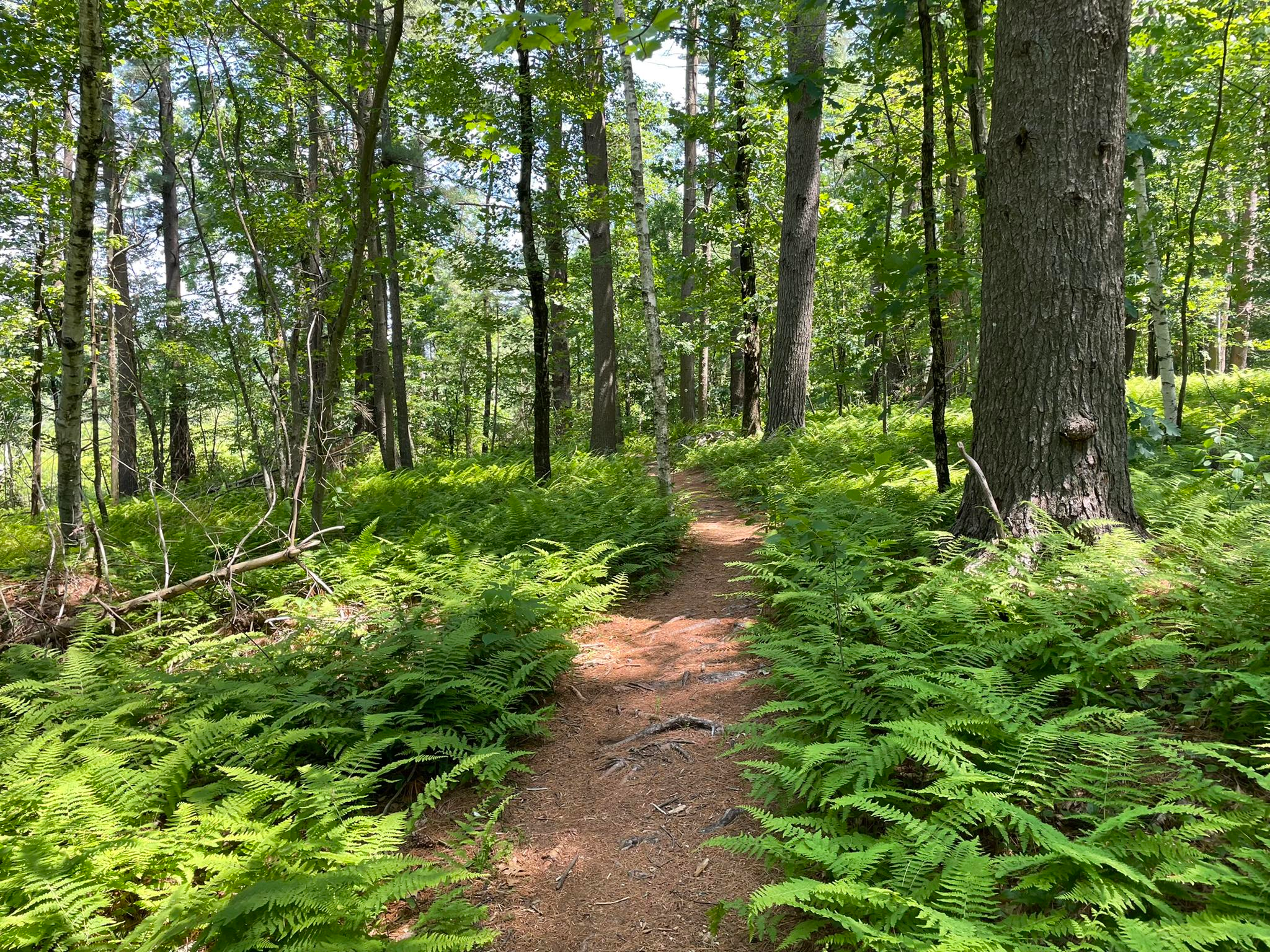
Bay Circuit Trail and Greenway — Walking the Emerald Necklace
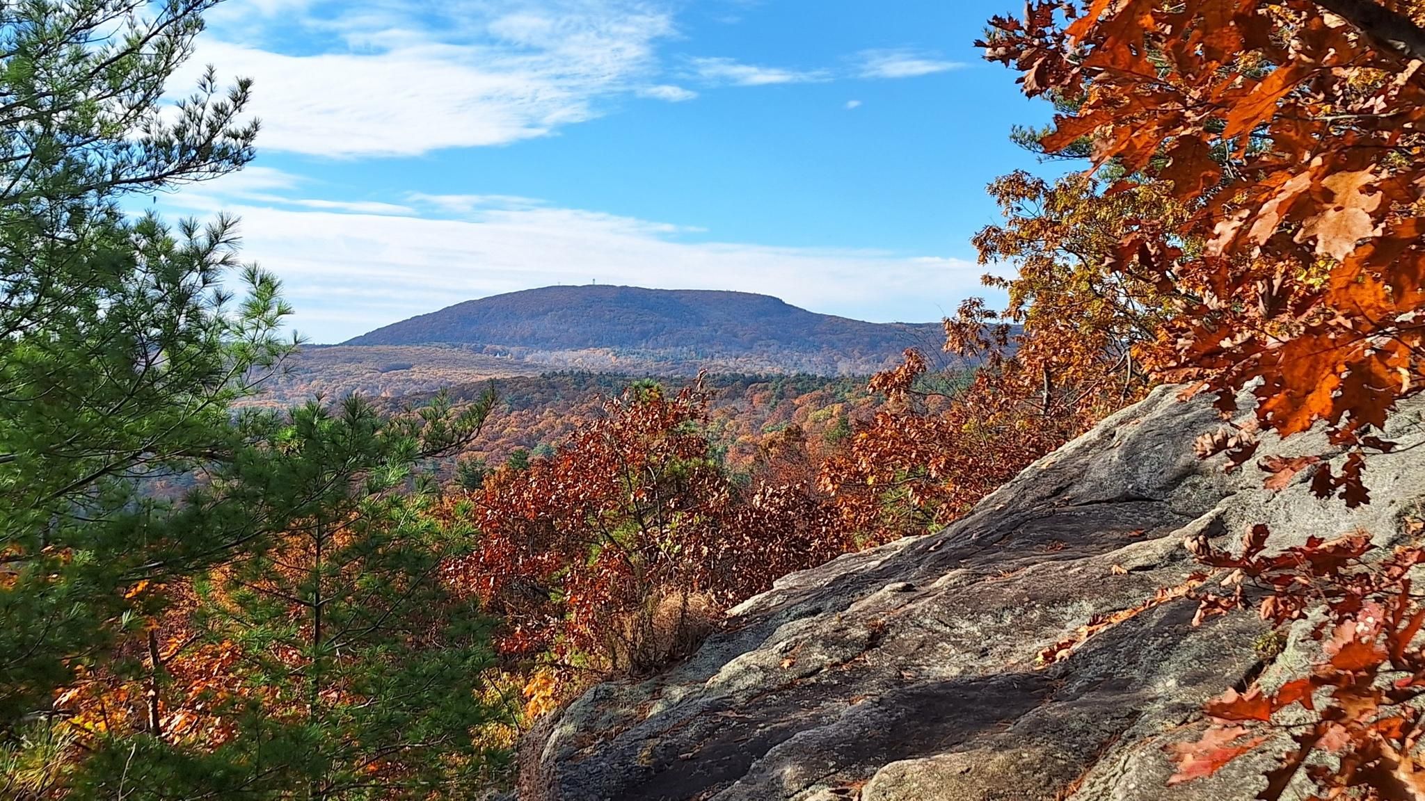
Midstate Trail — 92 miles through the heart of Massachusetts
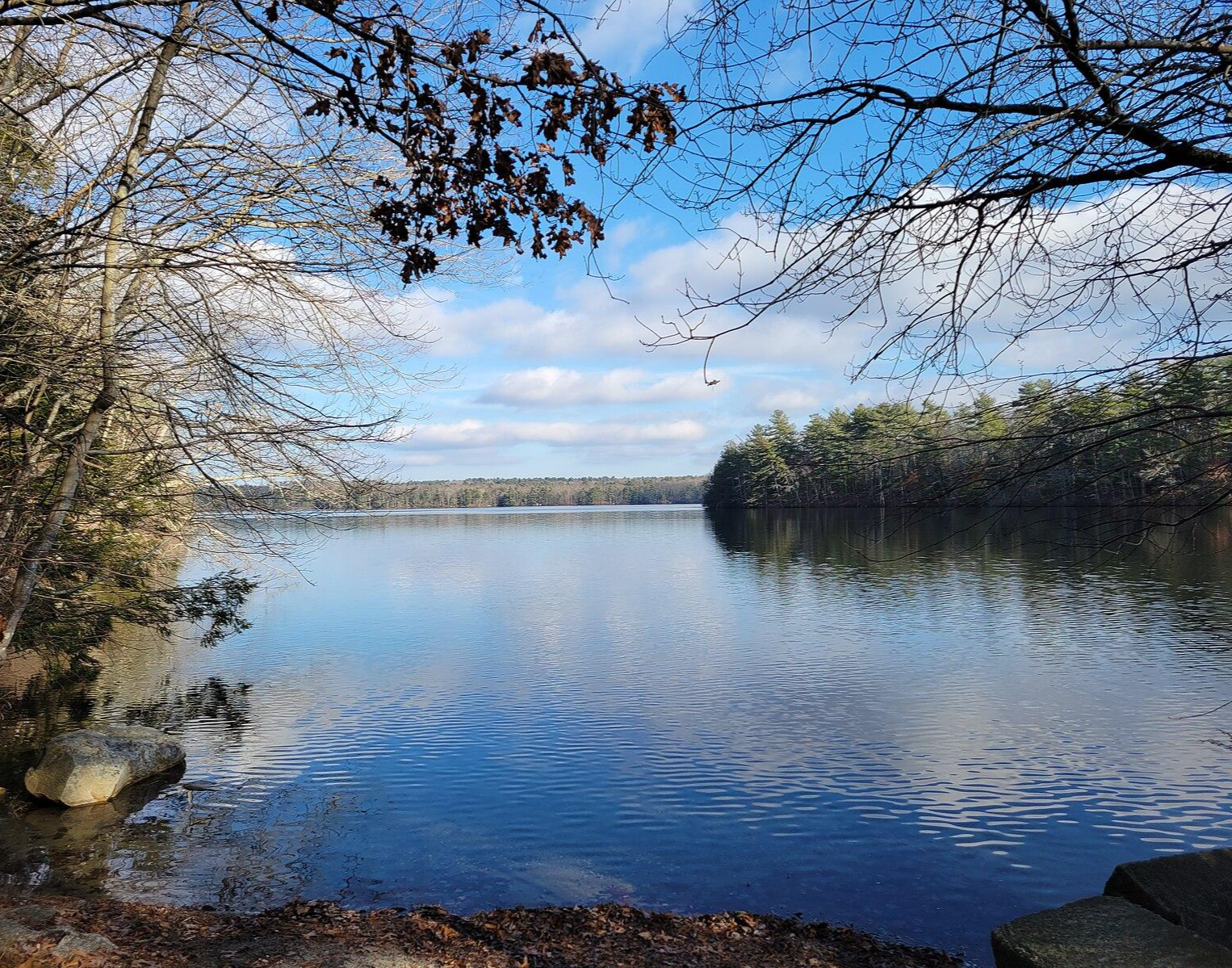
North-South Trail — The Smallest State's Longest Walk
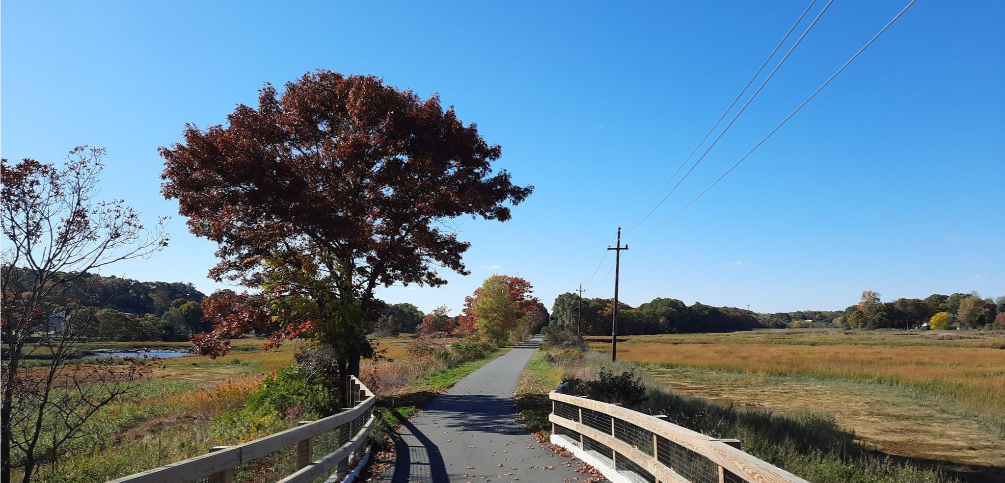
East Coast Greenway — An unforgettable ride along the Atlantic Seaboard
Other adventures in Worcester County


Tips from the Community

Trail is ~8.5 miles, 19k steps, 3+ hours all the way around the reservoir. Well defined trail for the majority of the loop. The scenery is nice, water is clean, and it is not insanely crowded. It's full of wildlife. While hiking, heard a bunch of coyotes, inviting me for a feast.
0
0
Depending on the route you take last part of the trail can be considered a moderate hike.
1
0

This shaded area features plenty of picnic tables and views of Wallum Lake. There is an accessible beach nearby and toilets available. It's a good spot to stop by when finishing or starting your hike at Douglas State Forest.
1
0

The northern section of the Air Line Trail is particularly captivating, featuring an old bridge and the intriguing "Hermit Cave," and culminating at the tri-point marker where Connecticut, Massachusetts, and Rhode Island meet. This boundary is identified by a 4-foot granite monument (with an additional 5 feet underground) situated in a small hilltop clearing. The marker, 14 inches square with a 6-inch pyramidal top, is inscribed with "MASS 1883" on the north side, "R.I. 1883" on the south, and "CONN" on the west—Connecticut's side lacks a date due to disagreements over the boundary. This monument was installed by a commission from Massachusetts and Rhode Island in late 1883.
0
0
Whitehall Reservoir, a sprawling 620-acre great pond in Hopkinton, Massachusetts, awaits a quarter mile south of Route 135 and a mile west of Route 495. With an average depth of 6 feet, reaching a maximum of 30 feet, and water transparency ranging between 6 and 10 feet, this pristine reservoir offers a serene escape.
0
0

Thayer Pond WMA is a 131-acre outdoor playground with the Central Mass Rail Trail running through it. You can enjoy wildlife viewing, hunting, and fishing in this natural landscape. The eastern part of the preserve is home to Thayer Pond, while the western part has a mixed hardwood forest with gray foxes and squirrels. Mill Brook flows through it, where you can spot several beaver impoundments along its banks.
0
0

Thayer Pond is a pretty big body of water for a pond, and it's just off the side of the Mass Central Rail Trail. You get good views of the water through the trees, and there are a couple of clearings with open views of the pond.
0
0
Thayer Pond is a pretty big body of water for a pond, and it's just off the side of the Mass Central Rail Trail. You get good views of the water through the trees, and there are a couple of clearings with open views of the pond.
0
0
Frequently Asked Questions
How many dog-friendly hiking trails are available in Worcester County?
Worcester County offers over 35 dog-friendly hiking routes, ranging from easy strolls to more challenging treks. With 27 easy routes, 9 moderate, and 2 difficult, there's something for every dog and owner.
What do other hikers enjoy most about dog-friendly trails in Worcester County?
The komoot community highly rates the dog-friendly trails in Worcester County, with an average score of 4.6 stars. Reviewers often praise the diverse landscapes, from tranquil woodlands to unique geological formations, and the well-maintained paths that make for enjoyable outings with their canine companions.
Are there dog-friendly trails suitable for beginners or small dogs?
Yes, Worcester County has many easy, flat trails perfect for beginners or small dogs. For example, the Mass Central Rail Trail: Rutland offers a gentle, mostly flat path ideal for a relaxed walk. Another great option is the Peppercorn Hill route, which provides an easy, scenic loop.
What are the best seasons for dog-friendly hiking in Worcester County?
Worcester County offers great hiking opportunities year-round. Spring brings blooming wildflowers, while summer is perfect for trails near lakes like Wachusett Reservoir. Fall is particularly stunning with vibrant foliage, and many trails remain accessible for winter walks, offering a serene, snow-covered landscape. Always check local park regulations for seasonal changes or closures.
Are there any dog-friendly trails with waterfalls in Worcester County?
Yes, you can find dog-friendly trails that feature beautiful waterfalls. Cascades Park in Worcester is known for its cascading waterfall leading to Cook's Pond, offering a picturesque backdrop for a walk. Moore State Park in Paxton also features lovely waterfalls alongside historic mill foundations, providing a scenic and interesting hike for you and your dog.
Can I find dog-friendly trails that offer scenic viewpoints?
Absolutely. For rewarding views, consider trails around Mount Wachusett, the highest point in Massachusetts east of the Connecticut River. While some summit trails might be challenging, many offer panoramic vistas. The Tri-Point & Midstate Trail loop also provides elevated sections with good views.
Are there any unique natural attractions I can visit with my dog in Worcester County?
Worcester County boasts unique natural wonders. Purgatory Chasm State Park in Sutton features a quarter-mile-long, 70-foot-deep chasm of granite, offering an adventurous hiking experience with interesting rock formations. Douglas State Forest is home to a distinct Atlantic White Cedar swampland with a boardwalk trail, providing a unique habitat to explore with your dog.
Are there dog-friendly circular routes available?
Yes, many dog-friendly trails in Worcester County are circular, allowing for varied scenery without retracing your steps. The Coffee House Loop in Douglas State Forest is a great example of an easy circular route. The Peppercorn Hill trail also offers a pleasant loop.
Are there dog-friendly trails near lakes or reservoirs?
Yes, Worcester County is dotted with numerous bodies of water that enhance the hiking experience. The Wachusett Reservoir offers beautiful scenery and trails along its perimeter. Douglas State Forest, which includes the Coffee House Loop, is also home to Wallum Lake, providing lovely lakeside walking opportunities.
Are there any specific rules or permits required for dogs on trails in Worcester County?
Generally, dogs are welcome on most trails in Worcester County, but they must be kept on a leash and owners are responsible for cleaning up after them. Some specific areas, like Broad Meadow Brook Conservation Center and Wildlife Sanctuary, may have stricter rules or designated dog-friendly areas. Always check the specific park or trail website for the most current regulations before your visit.
Can I find dog-friendly accommodation or dining options near the trails?
While this guide focuses on trails, Worcester County has a growing number of dog-friendly establishments. Many towns near popular hiking spots offer pet-friendly accommodations and some restaurants with outdoor seating welcome well-behaved dogs. It's always best to call ahead to confirm their current pet policies.
Are there any long-distance dog-friendly trails in the region?
Worcester County is home to sections of longer trail systems, including the Midstate Trail. You can explore parts of this trail, such as the Midstate Trail route, with your dog. These trails offer opportunities for longer excursions, but always plan your route and check for dog-specific regulations on extended sections.
Most popular routes in Worcester County
Most popular attractions in Worcester County

Get inspired with the komoot mobile app


Didn’t find what you were looking for?
Check out more Hikes throughout Worcester County below and find the perfect route in your destination.
Explore more
Browse the best Hikes in other regions.
