The best walks and hikes around Mescherin
4.2
(104)
841
hikers
12
hikes
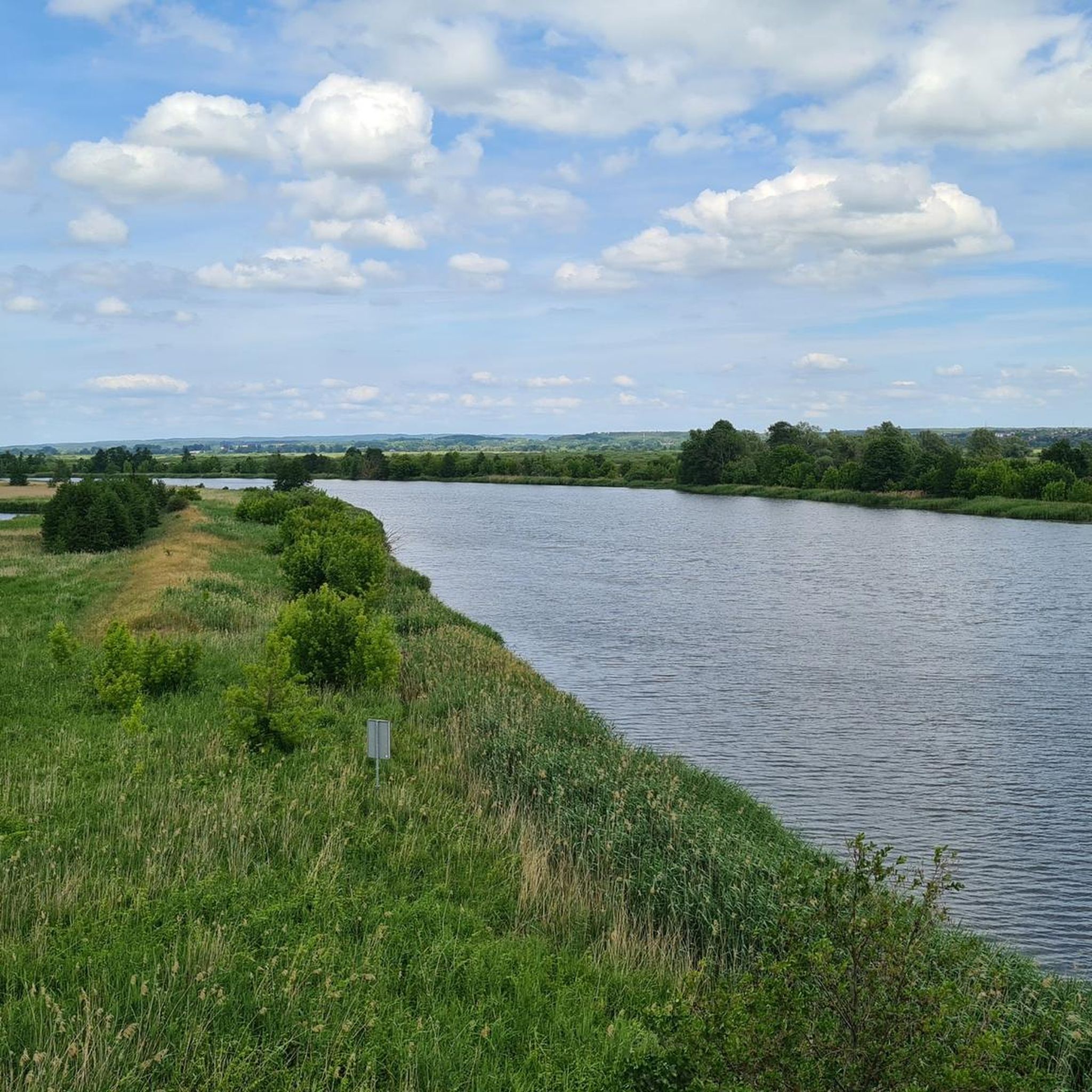
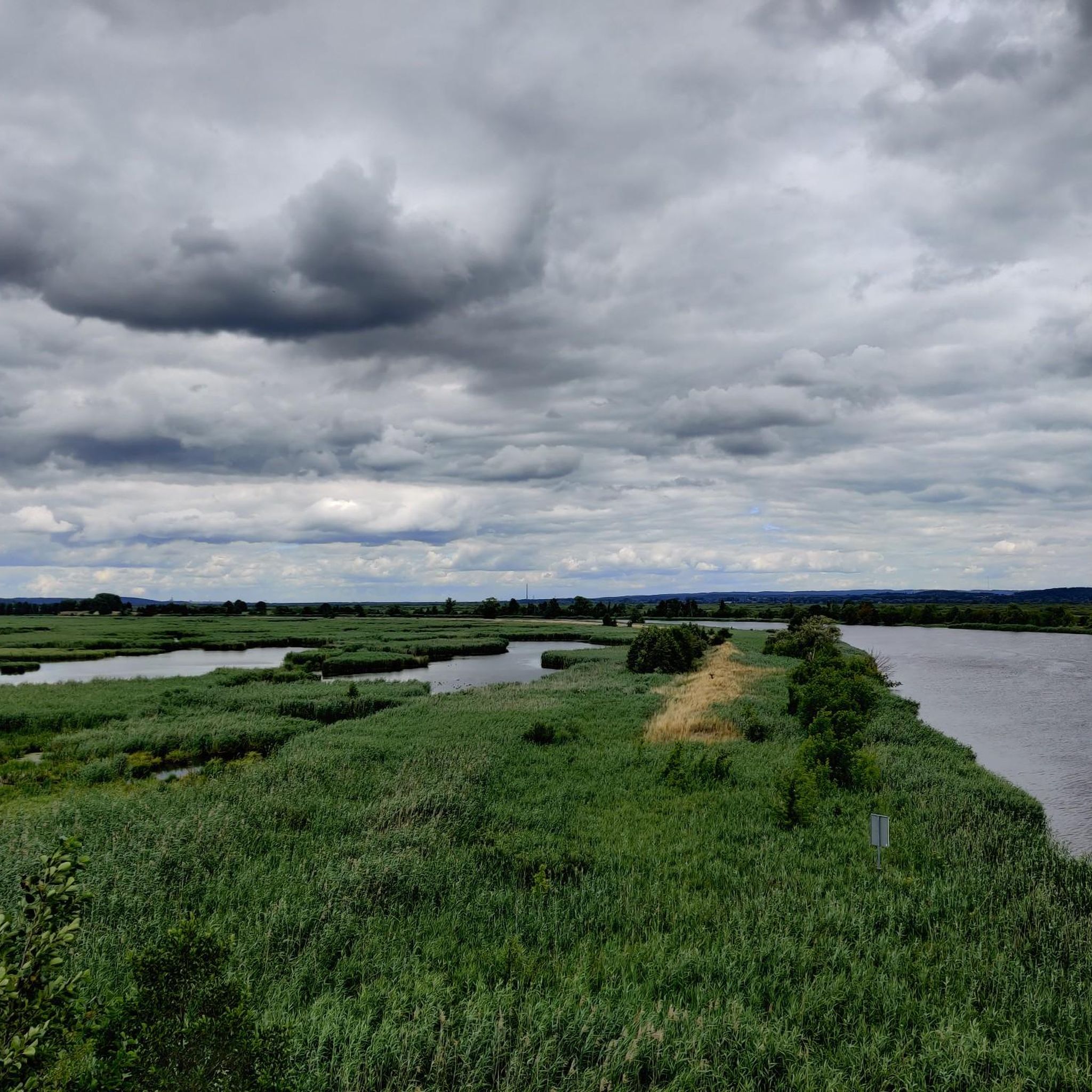
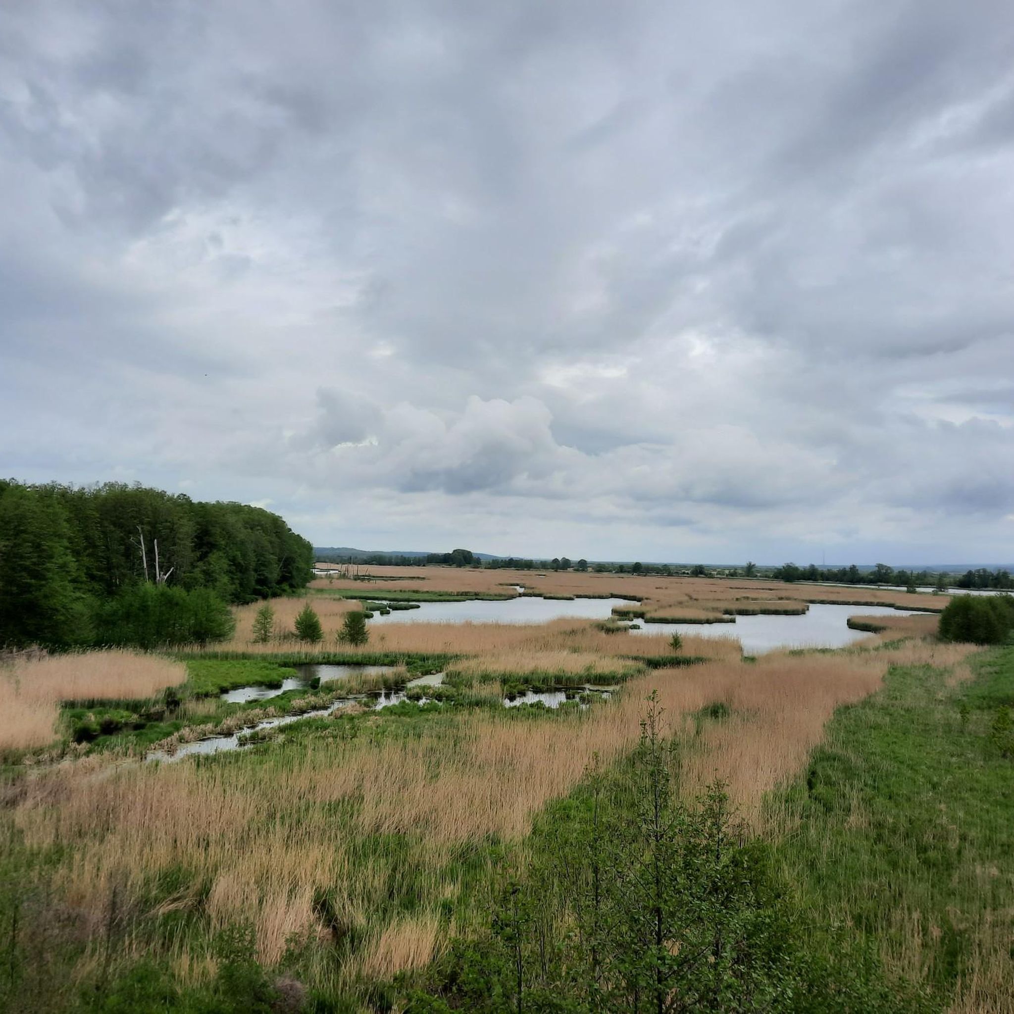
Hiking around Mescherin offers access to the northern edge of the Lower Oder Valley National Park, Germany's only wetland national park. The region features open, expansive landscapes with pristine floodplains along the Oder River, extensive forests, and areas of untouched wilderness. Hikers will encounter varied terrains including foothill elevations, meltwater channels, and hollows, providing diverse natural features for exploration.
Best hiking trails around Mescherin
- The most popular hiking route is Mescherin Church – Stettin Gate & Gartz Town Hall loop…
Last updated: October 27, 2026
6
hikers
23.2km
06:02
160m
160m
Hard hike. Very good fitness required. Easily walkable paths.
4.3
(3)
27
hikers
Easy hike. Easily walkable paths.

5.0
(2)
21
hikers
Easy hike. Easily walkable paths.
3.2
(5)
22
hikers
11.0km
02:48
40m
40m
Moderate hike. Good fitness required. Easily walkable paths.
3
hikers
5.66km
01:31
70m
70m
Easy hike. Easily walkable paths.
Get access to more routes and recommendations from other explorers.
Already have an account?
Our route recommendations are based on thousands of hikes, rides, and runs completed by other people on komoot.
Start today with a free account
Your next adventure awaits.

Tips from the Community

Characteristic entrance to Gryfino from the Międzyodrze side. From the bridge, the Regalicą river and the embankment are clearly visible, and the steel structure itself stands out strongly against the city's backdrop.
0
0
The tower stands right by the cycle path and offers a wide view of the West Oder and the Staffelde polder. A good point for a short stop after or before crossing the border in Mescherin.
0
0
A small harbor with parking and resting places
0
0
Parking by the road Staffelde - Gryfino, good starting point to Gryfino, Gartz or Szczecin
0
0
Quiet place, you can also drive here to the parking lot if you want to continue by bike
0
0
Remains of an old crossing. Good place for a short stop and a photo.
0
0

The object was built in the years 1911–1913 as an extension of the present-day Piastów street. The bridge, approximately 250 meters long and 10 meters wide, was opened in January 1913. The longest, central span intended for navigation was additionally equipped with a rotating bridge. The project and construction were carried out by engineers Narten, Braun, Stuwert, Ostmann, and Herbst.
0
0
Frequently Asked Questions
How many hiking trails are available around Mescherin?
There are over 15 hiking trails around Mescherin, offering diverse experiences within the Lower Oder Valley National Park. These routes cater to various fitness levels, from easy strolls to more challenging excursions.
What kind of landscapes can I expect to see while hiking near Mescherin?
Hiking around Mescherin offers a unique blend of landscapes, primarily characterized by the very open, expansive floodplains of the Oder River within Germany's only wetland national park. You'll also encounter extensive forests, areas of untouched wilderness, and varied terrains with foothill elevations, meltwater channels, and hollows, all shaped by the Ice Age.
Are there any easy, family-friendly hiking options in Mescherin?
Yes, Mescherin offers several easy routes suitable for families. An excellent option is the Observation Tower at Mescherin – Mescherin Church loop from Mescherin, an easy 4.8 km path that provides panoramic views from the observation tower. Another easy choice is the Mescherin Church – Shipwreck in Mescheriner See loop from Mescherin, a 4.4 km trail through natural surroundings.
What are some notable landmarks or attractions I can explore on a hike?
Many trails in Mescherin lead to or pass by interesting sights. You can visit the Mescherin Border Bridge over the West Oder, which offers beautiful views and connects to the Polish side. Right next to it, an observation tower provides impressive panoramic views of the Staffelder Polder. Further afield, Penkun Castle, a historical site above a castle lake, offers a cultural diversion.
Are there any longer or more challenging hikes available?
For those seeking a longer challenge, the Mescherin Church – St. Stephan Town Church loop from Mescherin is a difficult 19.1 km route. This trail allows for a more extensive exploration of the region's diverse terrain and historical points.
Can I find circular hiking routes around Mescherin?
Yes, many of the hiking trails around Mescherin are designed as circular routes. For example, the Mescherin Church – Stettin Gate & Gartz Town Hall loop from Mescherin is a popular 16.0 km circular trail that explores the riverside landscape and connects historical points.
What do other hikers say about the trails in Mescherin?
The hiking routes in Mescherin are highly rated by the komoot community, with an average score of 4.2 stars from over 90 reviews. Hikers often praise the unique wetland environment, the expansive views of the Oder floodplains, and the opportunities to experience untouched wilderness.
Is Mescherin a good place for wildlife observation?
Absolutely. The Lower Oder Valley National Park, where Mescherin is located, is a significant habitat for a wide array of wildlife. Hikers often spot white-tailed eagles, black storks, beavers, and Eurasian otters. The area is also a vital rest and wintering site for migratory birds like cranes and singing swans, making it excellent for birdwatching.
Are there specific trails that showcase the untouched wilderness of the national park?
Yes, the region features areas of untouched wilderness where nature has been developing undisturbed for over 20 years. The "Wild Forest Trail" south of Criewen, for instance, is a seven-kilometer route within the Lower Oder Valley National Park that showcases a forest wilderness area with diverse flora. More information can be found on the National Park website.
What is the Märkischer Landweg Trail and how does it relate to Mescherin?
The Märkischer Landweg Trail is a 217-kilometer path originating from Feldberg, and Mescherin serves as a key destination for this trail. It's part of a larger network connecting the Lower Oder Valley National Park with other significant natural reserves, allowing hikers to experience landscapes shaped by the Ice Age. Details are available on the National Park website.
Are there any shorter, easy walks that offer good views?
For a shorter walk with good views, consider the Mescherin Church – Marina Mescherin loop from Mescherin. This easy 5.7 km route takes you along the river towards the marina, offering pleasant riverside scenery.
Most popular attractions around Mescherin

Get inspired with the komoot mobile app


Explore more
Browse the best Hikes in other regions.
