The best traffic-free bike rides in Lajas Municipio
4.5
(4)
140
riders
15
rides
No traffic touring cycling routes in Lajas Municipio, Puerto Rico, traverse a diverse landscape on the southwestern coast. The region features coastal areas with mangrove forests and access to cays, contrasting with fertile agricultural valleys and rolling hills further inland. Cyclists can experience a mix of terrain, from flat sedimentary rocks to varied elevations, making it suitable for different cycling preferences.
Best no traffic touring cycling routes in Lajas Municipio
- The most popular no traffic touring cycling route is Boquerón Wildlife Refuge loop from Lumar, a 25.0 miles (40.2 km) trail that takes 3 hours 25 minutes to complete. This moderate route offers views of the coastal wildlife refuge.
- Another top favourite among local touring cyclists is Boquerón Wildlife Refuge loop from Boquerón, a difficult 28.2 miles (45.3 km) path. This route provides a challenging ride through varied terrain with significant elevation changes.
- Local touring cyclists also love the Mirador de las Salinas – Playa Bahía Salinas loop from Boquerón, a 23.5 miles (37.9 km) trail leading through coastal areas and salt flats, often completed in about 2 hours 24 minutes.
- Touring cycling in Lajas Municipio is defined by coastal roads, agricultural valleys, and rolling hills. The network offers options for different ability levels, from moderate rides to more strenuous excursions.
- The routes in Lajas Municipio are rated by the komoot community with an average score of 3.0 stars from a few reviews. More than 100 touring cyclists have used komoot to explore Lajas Municipio's varied terrain.
Last updated: November 7, 2026
5.0
(1)
24
riders
Moderate bike ride. Good fitness required. Mostly paved surfaces.
35
riders
43.9km
03:37
450m
450m
Moderate bike ride. Good fitness required. Mostly paved surfaces.

8
riders
40.0km
02:54
350m
350m
Moderate bike ride. Good fitness required. Mostly paved surfaces.
3
riders
25.8km
02:01
220m
220m
Moderate bike ride. Good fitness required. Mostly paved surfaces.
3.0
(1)
3
riders
Moderate bike ride. Good fitness required. Mostly paved surfaces.
Get access to more routes and recommendations from other explorers.
Already have an account?
Our route recommendations are based on thousands of hikes, rides, and runs completed by other people on komoot.
Start today with a free account
Your next adventure awaits.
Popular around Lajas Municipio


Tips from the Community

Pictures Stonecliff in the blue ocean
0
0

The Iris L. Alameda Martínez Wildlife Refuge (RVS Boquerón) is located about 96 km southwest of San Juan, approximately 8 km from the town of Cabo Rojo, between a mangrove forest and a salt meadow. In 1964, the Department of Agriculture of the United States together with that of Puerto Rico, designated 182 hectares as a protected area. Its purpose? The conservation of coastal and marine resources and a recreational space that includes hunting waterfowl, cycling, hiking, among other uses The Refuge has an impressive biodiversity; First, it was made up of a mangrove forest, with an extension of approximately 1.7 km. In it there are two types of wetlands mainly: The Estuary, affected by waves of low intensity and changes in the tides; and the Palustrino, which is mostly freshwater and depends on the ebb and flow of the tides. 50% of the Refuge is made up of three types of mangroves (red mangrove, white mangrove, and black mangrove) that grow within, between, and on the edge of three dikes (West Dike, North Dike, and East Dike) totaling 4km in length. . These support a reservoir that receives water from five sources: three main ones: Valle de Lajas, Laguna de Rincón and runoff from the southern section of the Refuge, and two secondary ones: runoff from the Valle de Lajas irrigation canals and the Boqueron creek.
0
0
Frequently Asked Questions
How many no-traffic touring cycling routes are available in Lajas Municipio?
There are 13 dedicated no-traffic touring cycling routes in Lajas Municipio listed on komoot. These routes offer a mix of easy, moderate, and difficult options to suit various fitness levels.
What kind of terrain can I expect on no-traffic touring cycling routes in Lajas Municipio?
Cyclists in Lajas Municipio can expect a diverse range of terrain. Routes often feature coastal roads with ocean views, paths through fertile agricultural valleys, and some more challenging sections over rolling hills. While many routes are on paved surfaces, some segments might be unpaved, requiring good to very good fitness.
Are there any easy no-traffic touring cycling routes suitable for beginners in Lajas Municipio?
Yes, Lajas Municipio offers 2 easy no-traffic touring cycling routes perfect for beginners or those seeking a more relaxed ride. These routes provide a gentle introduction to the region's beautiful landscapes without significant elevation changes.
Are there any family-friendly no-traffic cycling routes in Lajas Municipio?
While specific 'family-friendly' routes are not explicitly categorized, the 2 easy routes available would be the most suitable for families. Additionally, areas like Playita Rosada, with its natural pool, offer a safe and tranquil spot for families to relax after a ride. When planning, consider the distance and elevation gain of routes like the Mirador de las Salinas – Playa Bahía Salinas loop from Boquerón, which is moderate but has less elevation gain than some others.
What are some notable natural features or attractions I can see along these no-traffic cycling routes?
Lajas Municipio is rich in natural beauty. Many routes will take you near the extensive mangrove forests and coastal areas of the La Parguera Nature Reserve. You might also catch glimpses of the unique salt marshes and reefs. While not directly on a cycling path, the famous Bioluminescent Bay of La Parguera is a magical experience best enjoyed via kayak or boat tour after your ride. The Mirador de las Salinas – Playa Bahía Salinas loop from Boquerón offers views of the Salinas (salt flats).
Can I combine touring cycling with other outdoor activities in Lajas Municipio?
Absolutely! Lajas Municipio is ideal for combining cycling with other outdoor adventures. After your ride, you can explore the bioluminescent bay, enjoy watersports like snorkeling and paddleboarding in La Parguera, or take a short boat ride to pristine cays like Isla Mata La Gata, Cayo Caracoles, or Cayo Enrique for swimming and picnicking. The nearby Cabo Rojo National Wildlife Refuge also offers excellent opportunities for hiking and birdwatching.
What is the best time of year to go no-traffic touring cycling in Lajas Municipio?
The best time for touring cycling in Lajas Municipio is generally during the dry season, from December to April. During these months, the weather is typically cooler and less humid, with lower chances of rain, making for more comfortable riding conditions. The wet season, from May to November, can bring higher humidity and more frequent showers.
Are there any loop routes available for no-traffic touring cycling in Lajas Municipio?
Yes, many of the no-traffic touring cycling routes in Lajas Municipio are convenient loops. Examples include the Boquerón Wildlife Refuge loop from Lumar, the Boquerón Wildlife Refuge loop from Boquerón, and the Monte de la Brea loop from Parguera. These circular routes allow you to start and finish at the same point, often making logistics easier.
What is the typical length and elevation gain for moderate no-traffic touring cycling routes?
Moderate no-traffic touring cycling routes in Lajas Municipio typically range from 37 to 43 kilometers (23 to 27 miles) in length. Elevation gain can vary, but you can expect anywhere from 170 to 390 meters (550 to 1280 feet) of ascent. For example, the Boquerón Wildlife Refuge loop from Refugio de Vida Silvestre de Boquerón is about 43 km with 342m of elevation gain.
What do other touring cyclists say about the no-traffic routes in Lajas Municipio?
The komoot community rates the touring cycling experience in Lajas Municipio with an average score of 3.0 stars. While the number of reviews is still growing, cyclists often praise the diverse landscapes, from coastal views to agricultural valleys, and the opportunity to explore the region's unique natural features away from heavy traffic.
Are there any specific wildlife areas or nature reserves accessible by these routes?
Many routes, such as the various Boquerón Wildlife Refuge loops, provide access to or pass through areas of significant natural importance. The Boquerón Wildlife Refuge loop from Lumar is a great example. These areas are home to diverse ecosystems, including mangrove forests, and offer opportunities for birdwatching and observing local wildlife in their natural habitats.
Most popular routes in Lajas Municipio
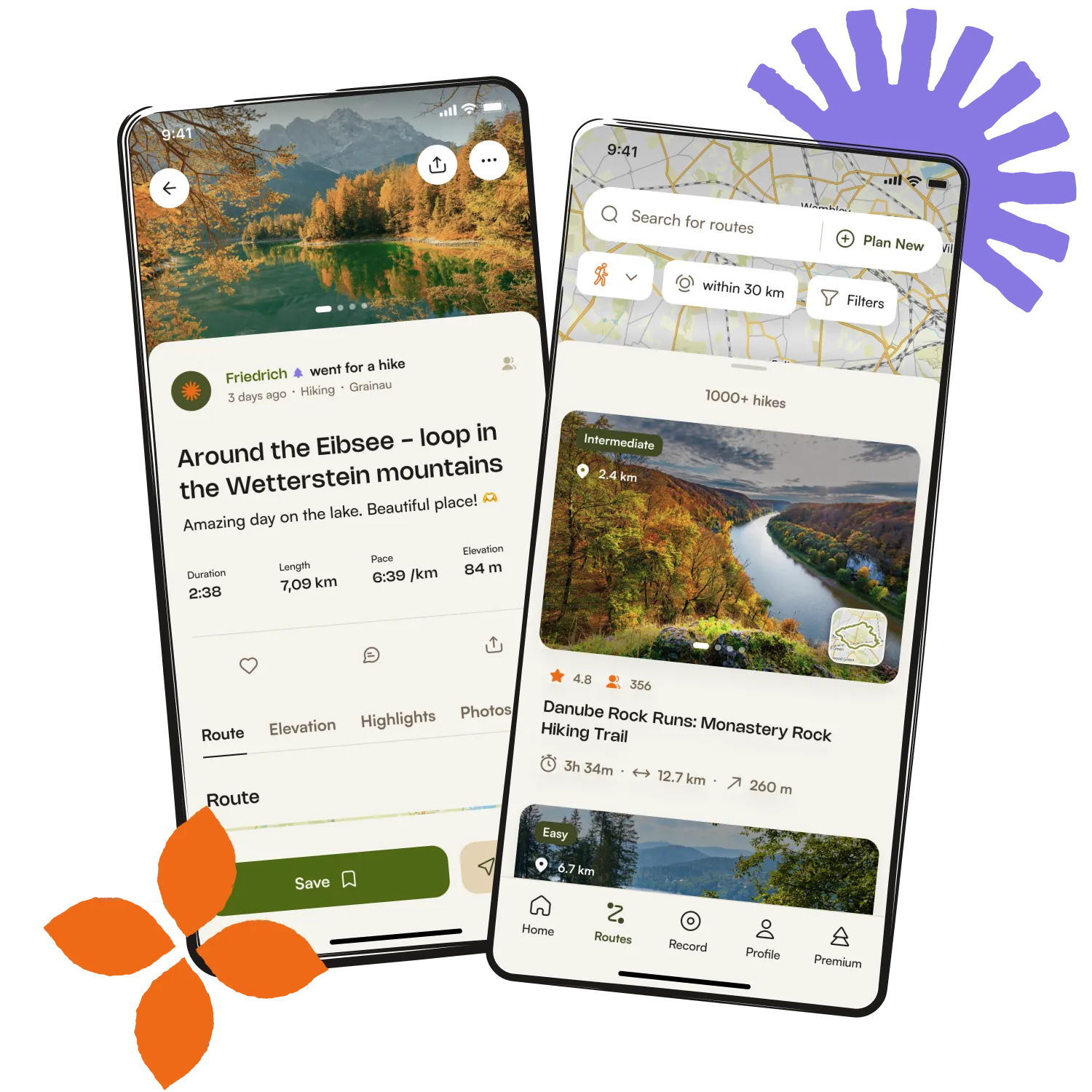
Get inspired with the komoot mobile app


Explore more
Browse the best Cycling routes in other regions.