The best hikes from bus stations around Richmond
4.5
(197)
3,495
hikers
12
hikes
Hiking around Richmond is characterized by its unique urban natural landscape, primarily centered around the James River. The region features an extensive park system offering diverse environments, from riverfront trails to serene woodland paths. Terrain varies from relatively flat sections to areas with rocks, roots, and moderate elevation changes, particularly within the James River Park System, due to the city's position on the Fall Line.
Best bus station hiking trails around Richmond
- The most popular bus station hiking route is…
Last updated: October 24, 2026
4
hikers
4.32km
01:18
130m
130m
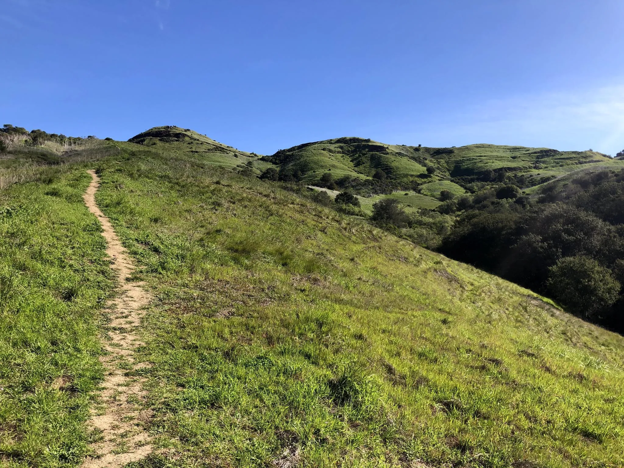
Embark on the Sobrante Ridge Loop, an easy hike that spans 2.7 miles (4.3 km) and involves a gentle climb of 442 feet (135 metres). This route takes about 1…
1
hikers
8.01km
02:03
40m
30m
Hike the 5.0-mile Ferry Point Loop and Shipyard 3 Trail in Richmond, California, for historic sites and scenic San Francisco Bay views.

5.0
(1)
10
hikers
6.90km
02:01
190m
190m
Moderate hike. Good fitness required. Easily walkable paths.
16
hikers
Easy hike. Easily walkable paths.
9
hikers
Easy hike. Easily walkable paths.
Get access to more routes and recommendations from other explorers.
Already have an account?
Our route recommendations are based on thousands of hikes, rides, and runs completed by other people on komoot.
Start today with a free account
Your next adventure awaits.
Popular around Richmond
Other adventures around Richmond

Tips from the Community

Beatiful walk along the shoreline with views along the bay
0
0

This spot offers spectacular views in every direction. Although there is no shade, it's a perfect spot to take a break, hydrate yourself, and capture breathtaking photos.
0
0

Climb up the three switchbacks on this hill (bike parking below) for fantastic bird's eye view of the historic shipyards and port. Great SF skyline and sunset vistas.
0
0

Alvarado Park lies in the northwestern corner of the Wildcat Canyon Regional Park. In 1909 this was a private park, that was taken over by the City of Richmond in 1923 and belongs to the East Bay Regional Park District since 1985. It is popular for its stonework and offers a glimpse into the area's past.
0
0
Camp Alvarado is part of the Wildcat Canyon Regional Park and hosts a huge area for picnicking and grilling with multiple tables and benches.
0
0

This parkland is a haven for the very rare Alameda manzanita tree, along with some fine walking on a mix of footpath and old fire road.
1
0
This beach has a fishing pier, a pretty picnic area, and a secluded swimming area. It's named in honor of a former state senator and a former state assemblyman.
1
0
These switchbacks bring you to the top of an overlook where you can survey the massive expanse of Richmond Shipyard Number Three, where almost 700 ships were built during World War II.
0
0
Frequently Asked Questions
How many bus-accessible hiking trails are available in Richmond?
There are 12 hiking trails around Richmond that are easily accessible by bus, offering a convenient way to explore the region's natural beauty without a car. Most of these, 10 to be exact, are rated as easy, making them suitable for a wide range of hikers.
Are there easy hiking options accessible by bus in Richmond?
Yes, many of the bus-accessible trails in Richmond are considered easy. For example, the Sobrante Ridge Loop is an easy 4.3 km hike. Another great easy option is the Richmond Marina Bay – Rosie the Riveter Memorial loop, which is about 4.7 km long and offers scenic views.
What kind of landscapes can I expect on bus-accessible hikes in Richmond?
Richmond's bus-accessible trails offer a diverse range of landscapes, from urban waterfronts to serene woodland paths. You can experience the unique urban natural landscape centered around the James River, with trails featuring lush riverside greenery, rock scrambles, and views of the city skyline. Some trails, like those within the James River Park System, provide varied terrain with roots and moderate elevation changes, while others are relatively flat.
Are there any circular hiking routes accessible by bus in Richmond?
Yes, several bus-accessible routes in Richmond are circular, allowing you to start and end at the same point. The Sobrante Ridge Loop is a great example of a circular route. Another option is the Alvarado Park – 360-degree viewpoint loop, which offers panoramic views.
What do other hikers enjoy most about bus-accessible trails in Richmond?
The bus-accessible trails in Richmond are highly rated by the komoot community, with an average score of 4.5 stars from 189 ratings. Hikers often praise the convenience of public transport access, the diverse scenery ranging from urban parks to riverfront paths, and the feeling of being immersed in nature despite being close to the city.
Are there any moderate difficulty hikes accessible by bus in Richmond?
Yes, for those looking for a bit more challenge, there are moderate difficulty hikes accessible by bus. The Ferry Point Loop and Shipyard 3 Trail is a moderate 8 km route. Another moderate option is the Alvarado Park – 360-degree viewpoint loop, which covers about 6.9 km with some elevation.
What are some interesting landmarks or points of interest along these bus-accessible routes?
Many bus-accessible routes offer unique points of interest. For instance, the Richmond Marina Bay – Rosie the Riveter Memorial loop takes you past the Rosie the Riveter Memorial, offering a historical perspective. Other trails within the James River Park System provide views of the city skyline, historic buildings, and opportunities to see the James River's urban rapids.
Can I find trails suitable for families near Richmond's bus stations?
Absolutely. Many of the easy, bus-accessible trails are perfect for families. The shorter, flatter loops like the Rosie the Riveter Memorial – Shimada Friendship Park loop (3.4 km) are ideal for outings with children. Parks like Forest Hill Park, accessible by GRTC bus routes, also offer trails and open spaces suitable for family enjoyment.
What is the best time of year to hike these trails in Richmond?
Richmond's trails are enjoyable year-round, but spring and fall offer the most pleasant hiking conditions with mild temperatures and beautiful foliage. Summer can be hot and humid, but shaded trails along the James River Park System provide relief. Winter hikes are also possible, offering a different perspective of the landscape, though some trails might be muddy after rain.
Are there any trails that offer views of the James River?
Yes, the James River is a central feature of Richmond's outdoor appeal, and many bus-accessible trails offer stunning river views. Trails within the James River Park System, such as those around Belle Isle, the Buttermilk Trail, and the North Bank Trail, provide extensive riverfront access and scenic vistas. Pony Pasture Rapids Park also offers excellent river views and wetlands.
Where can I find more information about public transport (GRTC) routes to these trailheads?
For detailed information on GRTC bus routes and schedules to specific trailheads, it's best to consult the official GRTC website or use a public transport app. Many popular hiking spots like the James River Park System, Forest Hill Park, and Maymont are well-served by the city's bus network.
Most popular routes around Richmond
Most popular attractions around Richmond

Get inspired with the komoot mobile app


Explore more
Browse the best Hikes in other regions.
