The best city hikes and walks around San Jose
4.6
(147)
2,418
hikers
38
hikes
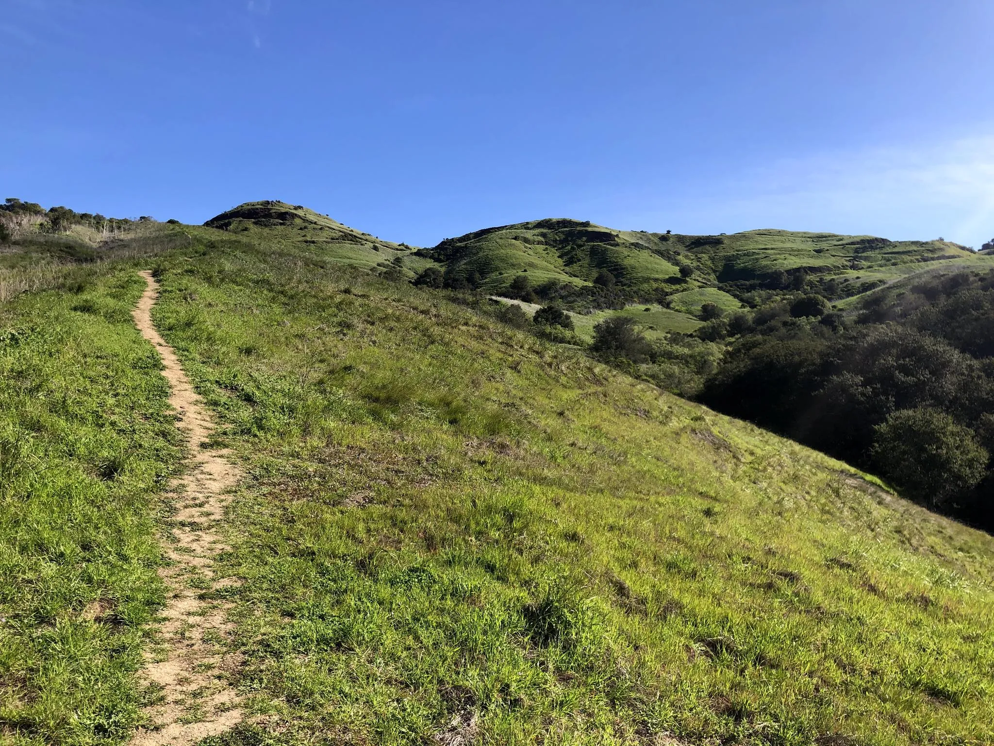
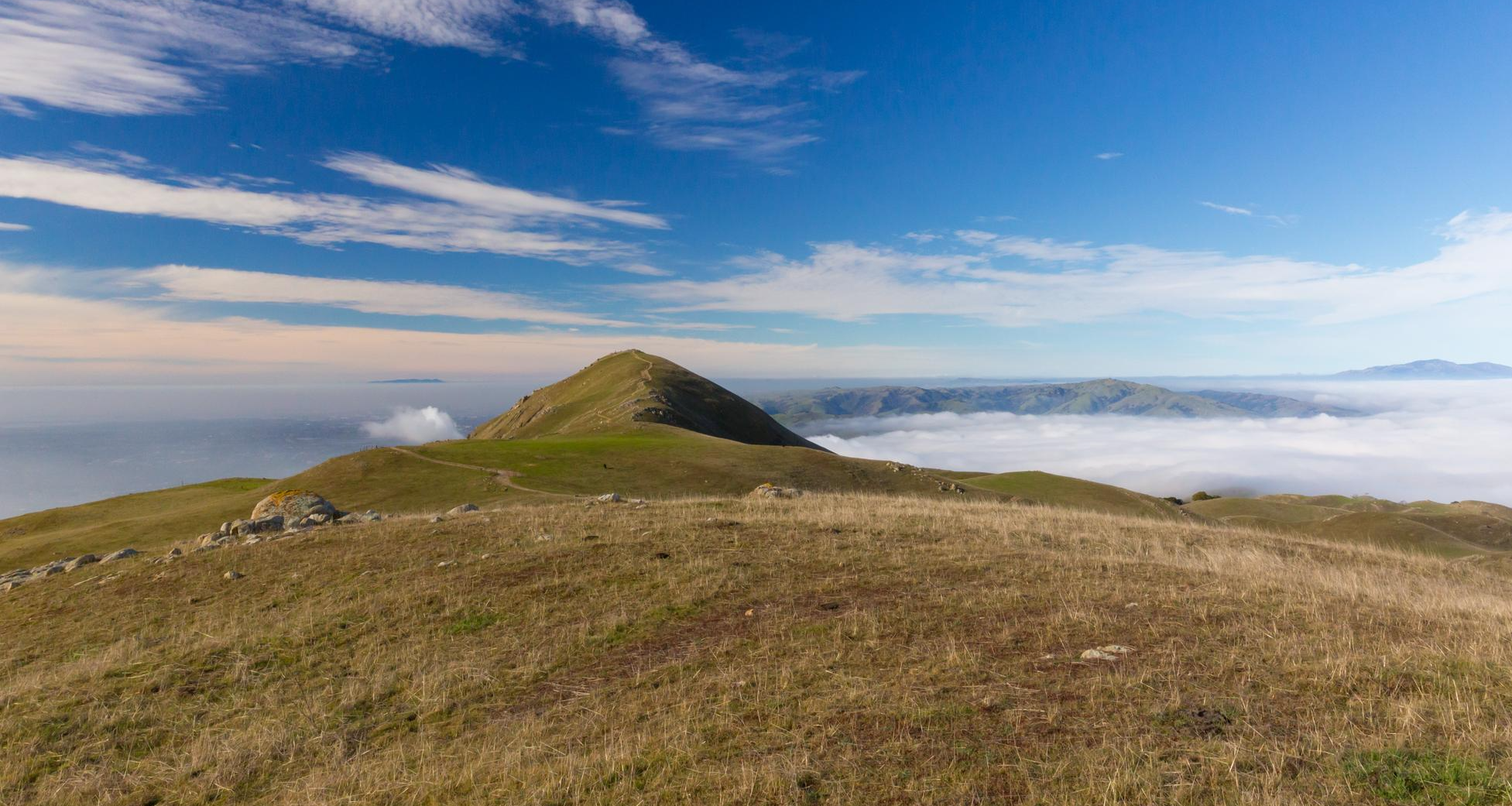
Urban hiking trails around San Jose offer diverse landscapes, from rolling hills and expansive valleys to significant open spaces. The region is characterized by trails alongside creeks and rivers, such as the Guadalupe River and Penitencia Creek, providing riparian elements within the urban environment. Hikers can explore various ecosystems, including grassy hills, oak woodlands, and areas with seasonal wildflowers. These features create a varied backdrop for outdoor activities within the city's confines.
Best urban hiking trails around San Jose
- The most popular urban hiking route is Guadalupe River Trail, a 35.8 miles (57.6 km) trail that takes 14 hours 34 minutes to complete. This route connects downtown San Jose to the San Francisco Bay, offering a scenic path along the river.
- Another top favourite among local hikers is Coyote Creek Trail, a difficult 13.7 miles (22.1 km) path. This trail follows a significant waterway, providing a varied urban hiking experience.
- Local hikers also love the Penitencia Creek Trail, a 1.8 miles (2.8 km) trail leading through a beautiful creek area, often completed in about 43 minutes.
- Hiking around San Jose is defined by creek-side paths, urban green spaces, and trails leading through rolling hills. The network offers options for different ability levels, from easy walks to more challenging routes.
- The routes in San Jose are highly rated by the komoot community with an average score of 4.6 stars from over 150 reviews. More than 2,000 hikers have used komoot to explore San Jose's varied terrain.
Last updated: October 25, 2026
3
hikers
2.13km
00:33
10m
10m
Easy hike. Easily walkable paths.
1
hikers
2.84km
00:43
10m
10m
Easy hike. Easily walkable paths.

6.20km
01:34
0m
10m
Easy hike. Easily walkable paths.
22.1km
05:38
80m
40m
Hard hike. Very good fitness required. Easily walkable paths.
6.17km
01:36
60m
0m
Easy hike. Easily walkable paths.
Get access to more routes and recommendations from other explorers.
Already have an account?
Our route recommendations are based on thousands of hikes, rides, and runs completed by other people on komoot.
Start today with a free account
Your next adventure awaits.

Tips from the Community

It's a great spot for enjoying nature close to the city. The park is well-known for its Penitencia Creek Trail, which stretches for about four miles. It offers a peaceful escape and a chance to connect with local wildlife and greenery.
0
0

A small urban park along Coyote Creek, featuring playgrounds, picnic tables, a skate park, and sports fields.
0
0
Hellyer Park Velodrome is Northern California’s only dedicated bicycle racing facility. Located in a car-free park along Coyote Creek, it’s perfect for cyclists of all levels, from beginners to pros, to train and race.
1
0

Visitors to the Penitencia Creek Trail can view the water-filled Dr. Robert W. Gross Recharge Ponds. These ponds, part of a system designed to recharge underground aquifers, are crucial for maintaining healthy groundwater levels that supply nearly half of Santa Clara County's water. While the ponds support wildlife, their primary purpose is water filtration, and visitors are reminded not to introduce fish or animals into the ponds.
0
0

The Piedmont Ponds on the Penitencia Creek Trail are a collection of small ponds in San José just off this popular multi-use path. This is a nice spot to begin to slow down on your ride to look out for birds and other wildlife by and in the water.
0
0
The pond is nestled within the larger Coyote Creek Parkway, providing access to miles of trails for running, biking, or hiking. You can explore further along Coyote Creek and discover more scenic spots.
0
0

Coyote Pond is a much-loved destination for walkers seeking a refreshing waterside stroll. In the cooler months the pond is filled with water, however it does have the tendency to dry up during the summer months. Whatever the weather, it's still a beautiful location worthy of an explore.
1
0

Coyote Pond in Coyote Creek Parkway is a well-loved destination for runners seeking a revitalizing experience. The expansive parkway provides a perfect backdrop for a fulfilling run around the pond. Keep in mind, during the summer parts of the pond may be dried up.
0
0
Frequently Asked Questions
How many urban hiking trails are available in San Jose?
San Jose offers a wide selection of urban hiking trails, with over 30 routes available for exploration. These range from easy strolls to more challenging paths, ensuring options for all skill levels.
What do other hikers enjoy most about urban hiking in San Jose?
The komoot community highly rates urban hiking in San Jose, with an average score of 4.6 stars. Hikers frequently praise the diverse landscapes, accessible trails, and the opportunity to experience nature within the city's vibrant environment.
Are there family-friendly urban hiking options in San Jose?
Yes, San Jose has many family-friendly urban trails. Routes like the Penitencia Creek Trail offer easy, flat paths perfect for all ages, often alongside scenic creeks and through shaded areas.
Which urban trails are suitable for beginners or those looking for an easy walk?
Many urban trails in San Jose are perfect for beginners. The Penitencia Creek Park Loop is a great example, offering a short, easy walk with minimal elevation gain. The city's numerous parks provide accessible paths for a relaxed outdoor experience.
Are urban hiking trails in San Jose dog-friendly?
Many urban trails in San Jose are dog-friendly, but leash laws and specific park regulations apply. Always check local park rules before heading out. Trails along creeks and in open spaces often welcome leashed dogs.
What kind of natural features or landmarks can I expect to see on urban hikes?
Urban hikes in San Jose often feature a blend of natural beauty and city views. You can explore trails alongside creeks and rivers, through oak woodlands, and past open grasslands. Notable natural landmarks nearby include Camden Ponds and the Former salt ponds – Alviso wetlands, offering unique ecological sights.
Are there urban hiking trails accessible by public transport in San Jose?
Yes, several urban hiking trails in San Jose are well-served by public transport. Many parks and trailheads are located within city limits or easily reachable by VTA buses and light rail, making it convenient to access nature without a car.
Where can I find parking for urban hiking trails?
Most major parks and trailheads for urban hikes in San Jose offer dedicated parking lots. For example, trails along the Guadalupe River or in Alum Rock Park typically have accessible parking. It's always advisable to check specific trailhead information for parking availability and any potential fees.
Are there any urban loop trails for a circular walk?
Yes, San Jose offers several urban loop trails perfect for a circular walk. The Penitencia Creek Park Loop is one such example, providing a pleasant round trip. Many city parks are designed with interconnected paths that allow for varied loop configurations.
What is the best time of year for urban hiking in San Jose?
San Jose enjoys approximately 300 days of sunshine annually, making urban hiking enjoyable for much of the year. Spring is particularly beautiful, with many parks like Santa Teresa Park and Almaden Quicksilver County Park awash with native wildflowers. Fall also offers pleasant temperatures and clear skies.
Can I find cafes or amenities near urban hiking trails?
Given their urban setting, many trails in San Jose are conveniently located near cafes, restaurants, and other amenities. Trails that run through or near downtown areas, such as sections of the Guadalupe River Trail, offer easy access to various establishments for refreshments before or after your hike.
Most popular routes around San Jose
Most popular attractions around San Jose

Get inspired with the komoot mobile app


Explore more
Browse the best Hikes in other regions.
