The best hikes from bus stations around Glenties Municipal District
4.6
(1023)
6,650
hikers
5
hikes
Bus station hiking trails around Glenties Municipal District offer access to a diverse landscape in County Donegal, Ireland. The region is characterized by rugged mountains such as Mount Errigal and Muckish Mountain, extensive forests including Glenveagh National Park and Ards Forest Park, and numerous lakes like Lough Veagh. Dramatic coastlines with cliffs and beaches, such as Horn Head and Sheephaven Bay, also define the area. Glenties itself is situated where two glens converge, with rivers flowing through.
Best bus station…
Last updated: September 29, 2026
4.7
(23)
102
hikers
Easy hike. Great for any fitness level. Easily-accessible paths. Suitable for all skill levels.
4.5
(4)
60
hikers
3.76km
00:58
10m
10m
Easy hike. Great for any fitness level. Easily-accessible paths. Suitable for all skill levels.

5.0
(1)
3
hikers
5.99km
01:33
30m
40m
Easy hike. Great for any fitness level. Easily-accessible paths. Suitable for all skill levels.
1
hikers
22.1km
05:52
220m
220m
Hard hike. Very good fitness required. Easily-accessible paths. Suitable for all skill levels.
3.0
(1)
7
hikers
2.65km
00:42
20m
20m
Easy hike. Great for any fitness level. Easily-accessible paths. Suitable for all skill levels.
Our route recommendations are based on thousands of hikes, rides, and runs completed by other people on komoot.
Start today with a free account
Your next adventure awaits.
Popular around Glenties Municipal District
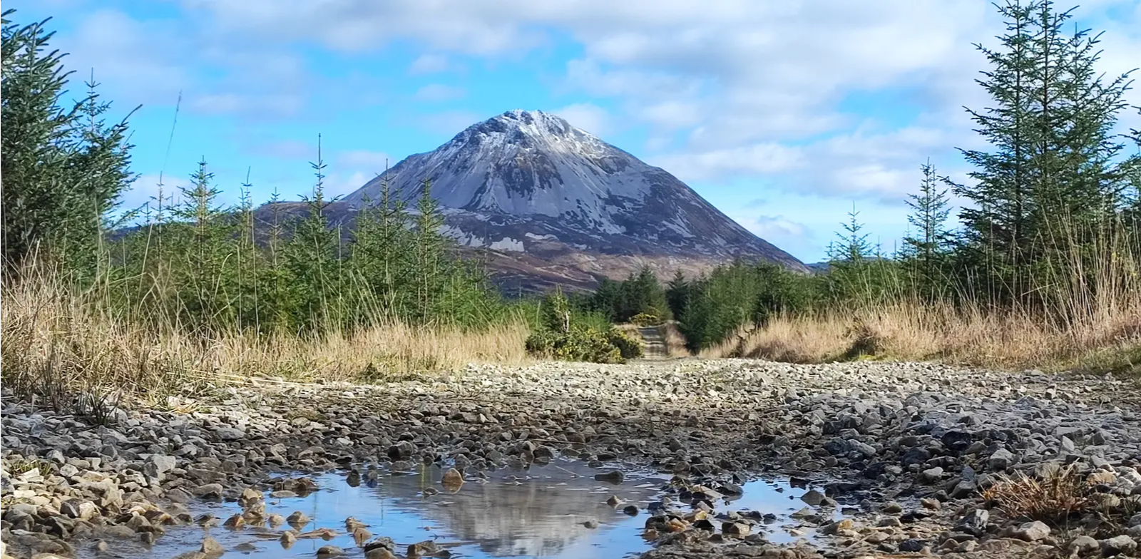
Slí An Earagail – An adventure between the Atlantic and Errigal

Follow the water - Along Ireland's rivers and lakes
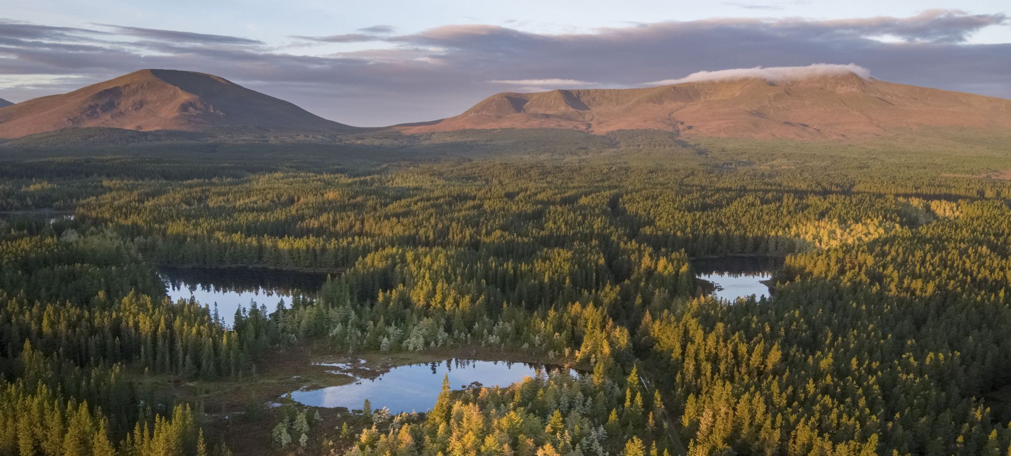
Discover Ireland's unspoilt nature in its national parks

Between waves and peaks — to the best views in Ireland
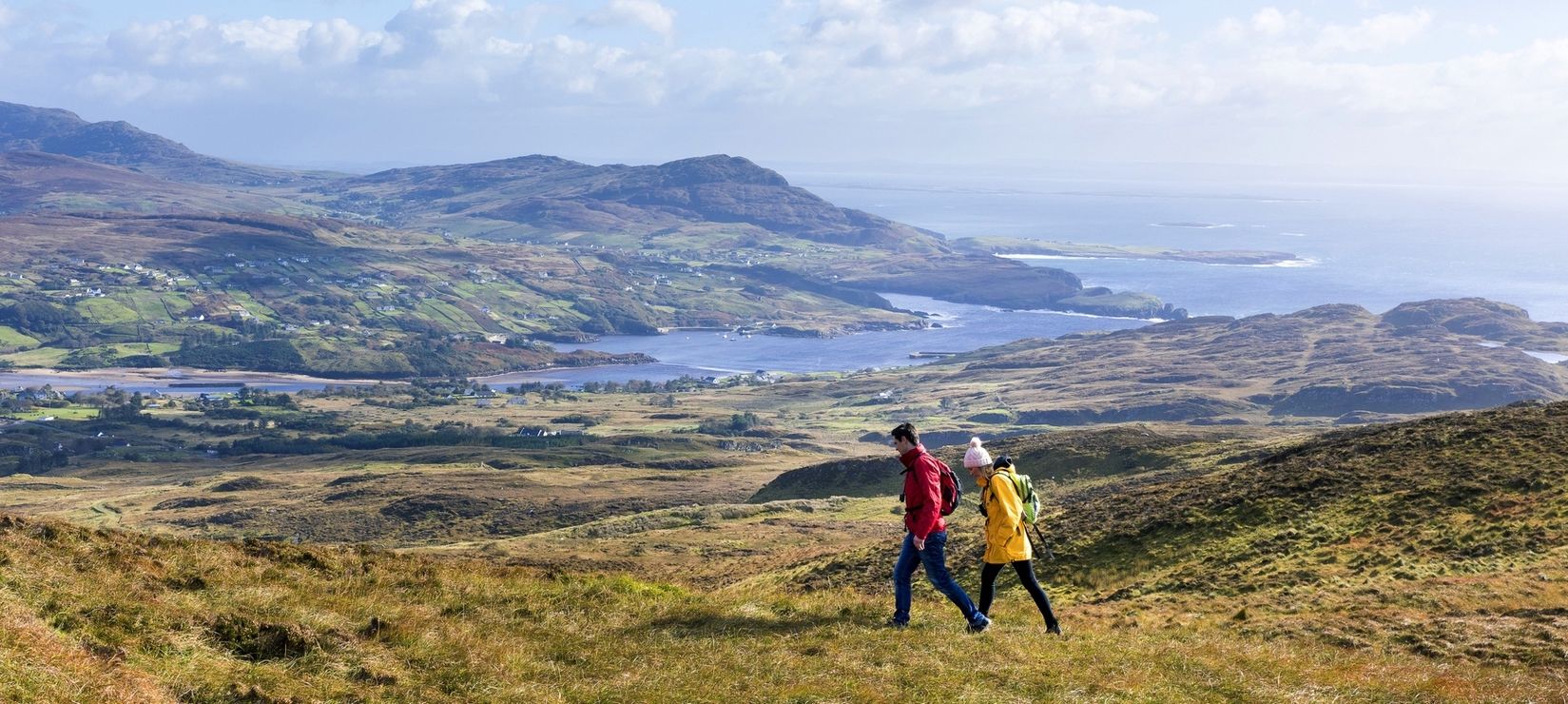
Wild Atlantic Way — day hikes for your road trip along Ireland's coastline
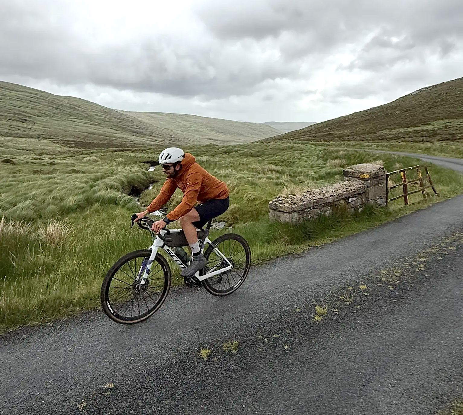
Cycling in County Donegal with Jonas Deichmann
Other adventures around Glenties Municipal District


Tips from the Community

Ardara is a picturesque, vibrant small town that has lived from Tweed for centuries. If you are interested in cultural activities, you should not miss the Ardara Heritage Centre, a kind of museum dedicated to the making of Irish Tweed. In a comprehensive exhibition, you will discover the art of Tweed weaving, their traditional production methods, and the economic impact of this activity on Ardara!
1
0

Ardara is proud to be the capital of handwoven tweed. Evidence of systematic wool weaving dates back to the Bronze Age, and it is known to have been actively exported in the Middle Ages. From the end of the 19th century, a monthly market was held in Ardara, where traders and weavers did business outdoors. In 1912, a covered market had to be built. At that time, artisans worked from home (tweed was home-woven), but thanks to the philanthropists Ernest and Alice Hart, larger companies such as Molloy and Magee emerged in Ardara and Donegal in the 20th century. Today, traditional weavers are rare and sales no longer take place in markets, although the annual Weaver's Fair remains an important event where they still gather to enjoy music and song (first weekend in June).
3
0
The links between Ardara and tweed are highlighted in a small heritage centre.
4
0
Hidden in the green landscape near Kilclooney, you'll find this spectacular Neolithic portal tomb, one of the most elegant examples of prehistoric architecture in Ireland. The enormous capstone of the largest dolmen balances with astonishing precision on its supporting stones and has overlooked the surrounding fields for over 5,000 years. Directly next to it lies a second, smaller dolmen, making this site a remarkable archaeological ensemble.
7
0

Located on the circular path of the old railway line. Beautiful view, especially at low tide.
0
0
Starting point of the ferry to Aranmore Island. Nice little cute harbor.
0
0
Frequently Asked Questions
How many bus station hiking trails are available in Glenties Municipal District?
Currently, there are 3 easy hiking trails directly accessible from bus stations in Glenties Municipal District. These routes offer convenient starting points for exploring the local scenery.
What kind of terrain can I expect on bus-accessible hikes in Glenties Municipal District?
The bus-accessible hikes in Glenties Municipal District typically feature gentle terrain, often following river paths or nature trails. For example, the Dungloe River Walk & Cope Mountain offers a pleasant stroll along the river, while the Derrylahan Nature Trail winds through forested areas, providing a mix of natural surfaces.
Are there any easy bus station hikes suitable for beginners or families?
Yes, all 3 of the bus-accessible hikes in this guide are rated as easy, making them ideal for beginners and families. They feature minimal elevation gain and shorter distances, perfect for a relaxed outing. The Derrylahan Nature Trail, for instance, is a gentle 2.5 km loop through Glenveagh National Park.
What is the typical length and duration of hikes accessible from bus stations?
The bus-accessible hikes in Glenties Municipal District are generally short to moderate in length. They range from approximately 2.5 km to 3.7 km, with estimated durations between 40 minutes to just over an hour of active walking time. This makes them perfect for a quick escape into nature without requiring a full day commitment.
What can I see along the bus station hiking trails?
While the bus station trails themselves offer pleasant natural scenery, the broader Glenties Municipal District is rich in natural attractions. You can find stunning natural monuments like the Assaranca Waterfall and dramatic coastal features such as the Horn Head Cliffs. The region is also home to impressive peaks like Mount Errigal, offering panoramic views from a distance.
Are there any circular routes among the bus-accessible hikes?
Yes, the Citroën Coffee Truck loop from Carrick is a circular route, allowing you to start and end your hike at the same point. This is convenient for those relying on public transport as it eliminates the need for a return journey along the same path.
Are the bus-accessible trails in Glenties Municipal District dog-friendly?
Many trails in County Donegal, including those in Glenties Municipal District, are generally dog-friendly, especially if dogs are kept on a leash. However, specific rules can vary, particularly within protected areas like Glenveagh National Park. It's always best to check local signage or park regulations for the most current information regarding pets on trails like the Derrylahan Nature Trail.
What is the best time of year to hike these bus-accessible trails?
The Glenties Municipal District is beautiful year-round, but the best time for hiking is typically from late spring to early autumn (May to September). During these months, you can expect milder weather, longer daylight hours, and less rainfall, making for more comfortable hiking conditions on trails like the Dungloe River Walk & Cope Mountain. Always be prepared for changeable weather, regardless of the season.
What do other hikers enjoy the most about hiking in Glenties Municipal District?
The area is highly rated by the komoot community, with an average score of 4.6 stars from over 800 ratings. Reviewers often praise the region's diverse and dramatic landscapes, from rugged mountains to serene lakes and stunning coastlines. The convenience of accessible trails and the natural beauty are frequently highlighted.
Are there any facilities like cafes or pubs near the bus station hiking trails?
Glenties town, where many bus routes converge, offers various amenities including cafes, pubs, and accommodations. While specific facilities might not be directly at every trailhead, you'll find options in the nearby towns and villages for refreshments before or after your hike. For example, the Citroën Coffee Truck loop from Carrick suggests a coffee stop, indicating local amenities are often within reach.
Can I find any historical or cultural points of interest along these routes?
While the specific bus-accessible routes in this guide focus on natural beauty, the wider Glenties Municipal District is rich in history. You can find sites like the Horn Head Signal Tower Ruins and the Glencolmcille Folk Village, which offer glimpses into the region's past. Ancient sites such as ring forts, standing stones, and dolmens are also scattered throughout the landscape, providing cultural context to your outdoor adventures.
Most popular routes around Glenties Municipal District
Most popular attractions around Glenties Municipal District

Get inspired with the komoot mobile app


Explore more
Browse the best Hikes in other regions.
